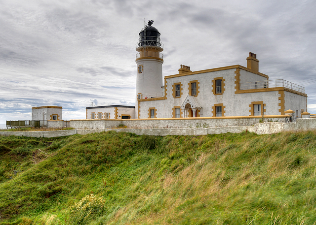
Mill Croft Wood

Wood, Forest in Wigtownshire

Scotland

Mill Croft Wood

Fodder crop at West Glengyre Or perhaps it will be ploughed in; possibly a brassica. With Gorse on the hilltop.
Fodder crop at West Glengyre Credit: M J Richardson

Mill Croft Wood is a picturesque forest located in Wigtownshire, Scotland. Covering an area of approximately 50 acres, it offers a tranquil escape for nature enthusiasts and outdoor adventurers alike. The wood is situated on the outskirts of the small village of Wigtown, known as Scotland's National Book Town.

Mill Croft Wood is primarily composed of native broadleaf trees, including oak, beech, and birch, which create a rich and diverse ecosystem. The dense canopy provides a haven for a wide range of bird species, making it a popular spot for birdwatchers. Visitors may spot woodpeckers, owls, and various songbirds, among others.

The wood is crisscrossed by a network of well-maintained trails, allowing visitors to explore its natural beauty at their own pace. These trails are suitable for walkers of all abilities, with some sections being wheelchair accessible. Along the way, walkers are treated to stunning views of the surrounding countryside, including rolling hills and meandering streams.

Aside from its natural beauty, Mill Croft Wood also has historical significance. It was once home to a watermill, which provided flour for the local community. Although the mill is no longer operational, remnants of its infrastructure can still be seen, adding an interesting element to the woodland experience.

Mill Croft Wood offers a serene and peaceful environment for individuals seeking solace in nature. Whether it's hiking, birdwatching, or simply enjoying a leisurely stroll, this forest provides a welcome escape from the hustle and bustle of everyday life.

If you have any feedback on the listing, please let us know in the comments section below.

Mill Croft Wood Images

Images are sourced within 2km of 54.924386/-5.1621751 or Grid Reference NW9763. Thanks to Geograph Open Source API. All images are credited.

Fodder crop at West Glengyre Or perhaps it will be ploughed in; possibly a brassica. With Gorse on the hilltop.
Fodder crop at West Glengyre
Or perhaps it will be ploughed in; possibly a brassica. With Gorse on the hilltop.
West Glengyre A farm west of Leswalt.
West Glengyre
A farm west of Leswalt.
Passing Manley on the B738 Manley is a bungalow built quite recently.
Passing Manley on the B738
Manley is a bungalow built quite recently.
Knocknain farm
Knocknain farm
Looking towards Little Galdenoch on the B738
Little Galdenoch
Little Galdenoch
Approaching woodland on the B738
A left turning to Galdenoch
Junction of the B738 and the B7043 The B738 turns right at the junction and the B7043 starts here.
Junction of the B738 and the B7043
The B738 turns right at the junction and the B7043 starts here.
The start of the B7043 The photograph was taken standing on the B738. This road turns to the right and the B7043 begins and continues straight ahead.
The start of the B7043
The photograph was taken standing on the B738. This road turns to the right and the B7043 begins and continues straight ahead.
Passing Lochnaw Cottage on the B738
Pool east of Little Galdenoch
Galdenoch Castle Built in the 16th-century by the Agnews of Lochnaw, the castle is said to have been the scene of poltergeist activity. According to the legend, the spirit was finally laid to rest by the singing of a minister.
Galdenoch Castle
Built in the 16th-century by the Agnews of Lochnaw, the castle is said to have been the scene of poltergeist activity. According to the legend, the spirit was finally laid to rest by the singing of a minister.
Shed at Little Galdenoch
Landscape south of Slewdown Hill View towards Little Galdenoch Wood
Landscape south of Slewdown Hill
View towards Little Galdenoch Wood
Landscape south of Slewdown Hill View towards Glengyre Moss
Landscape south of Slewdown Hill
View towards Glengyre Moss
Glengyre Moss Viewed from Slewdown Hill
Glengyre Moss
Viewed from Slewdown Hill
Show me another place!

Mill Croft Wood is located at Grid Ref: NW9763 (Lat: 54.924386, Lng: -5.1621751)

Unitary Authority: Dumfries and Galloway

Police Authority: Dumfries and Galloway

What 3 Words

///vibrates.bits.crunches. Near Stranraer, Dumfries & Galloway

Related Wikis

Galdenoch Castle

Galdenoch Castle is a tower house near the Scottish village of Leswalt in the Council Area Dumfries and Galloway . The ruin is listed as a Scheduled Monument...

Leswalt

Leswalt (Scottish Gaelic: Lios Uillt) is a village and civil parish in Dumfries and Galloway, south-west Scotland. It lies between Portpatrick and Stranraer...

Ervie

Ervie is a small village in Dumfries and Galloway, Scotland, in the Rhins of Galloway, just outside Stranraer.

Killantringan Lighthouse

Killantringan Lighthouse is a lighthouse located near Portpatrick in Dumfries and Galloway, south-west Scotland. The light came into operation in 1900...

Nearby Amenities

Located within 500m of 54.924386,-5.1621751
Power: pole
Lat/Long: 54.9276505/-5.1639149
Power: pole
Lat/Long: 54.928401/-5.1646337
Black Hill
Natural: peak
Lat/Long: 54.9260723/-5.1601932
Power: pole
Lat/Long: 54.9201934/-5.1596857
Power: pole
Lat/Long: 54.9210866/-5.1597914
Power: pole
Lat/Long: 54.9219662/-5.1598759
Power: pole
Lat/Long: 54.9226975/-5.1599557
Power: pole
Lat/Long: 54.9233707/-5.1600238
Power: pole
Lat/Long: 54.9238604/-5.1600731
Power: pole
Lat/Long: 54.9247278/-5.1609558
Power: pole
Lat/Long: 54.9254401/-5.1616742
Power: pole
Lat/Long: 54.9262307/-5.16247
Power: pole
Lat/Long: 54.9268728/-5.1631273
Power: pole
Lat/Long: 54.9225828/-5.1614394
Power: pole
Lat/Long: 54.9224708/-5.1628996
Power: pole
Lat/Long: 54.9223696/-5.1643692
Power: pole
Lat/Long: 54.9246968/-5.1595895
Power: pole
Lat/Long: 54.9246658/-5.1581645
Power: pole
Lat/Long: 54.9246415/-5.157162
Power: pole
Lat/Long: 54.9249909/-5.1565024
Power: pole
Lat/Long: 54.925312/-5.1559061
Power: pole
Lat/Long: 54.9253727/-5.1546548
The data included in this document is from www.openstreetmap.org. The data is made available under ODbL.

Have you been to Mill Croft Wood?

Leave your review of Mill Croft Wood below (or comments, questions and feedback).