Doire Gharbh
Wood, Forest in Ross-shire
Scotland
Doire Gharbh

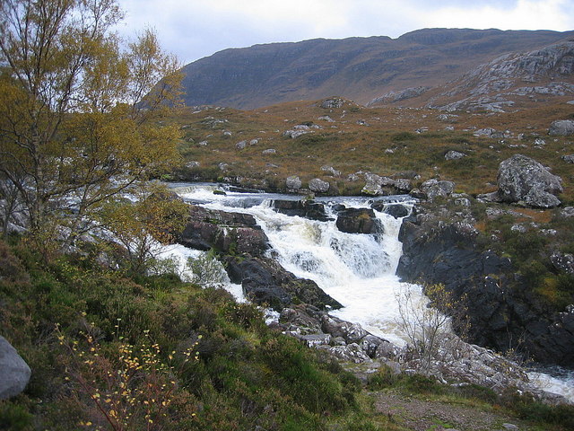
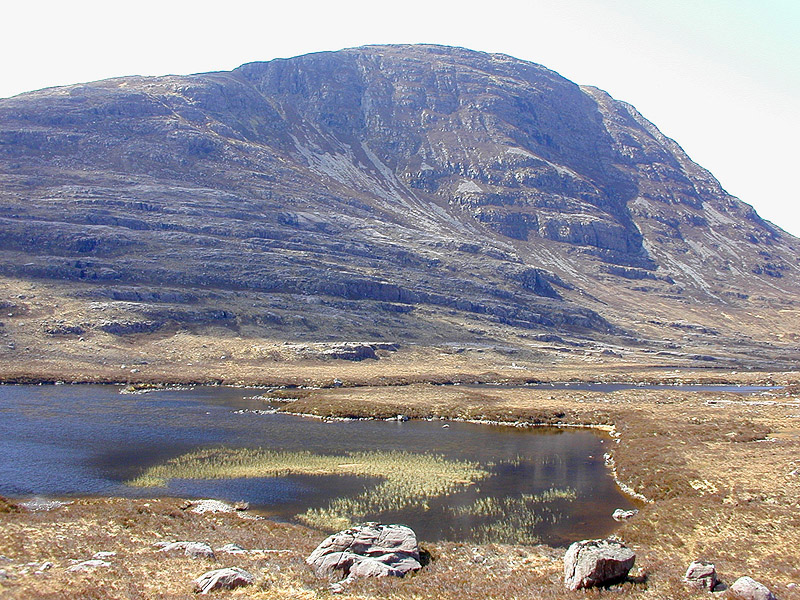
Doire Gharbh is a small village located in the county of Ross-shire, Scotland. Situated amidst a picturesque landscape, it is renowned for its dense woodlands and enchanting forests. The name Doire Gharbh translates to "wood" or "forest" in Scottish Gaelic, which aptly describes the captivating natural surroundings of the area.
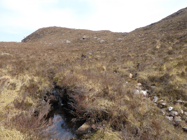
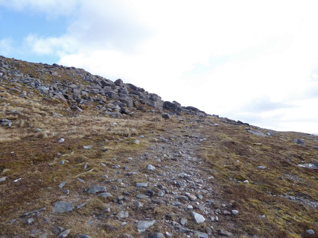
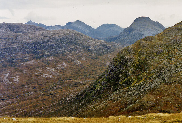
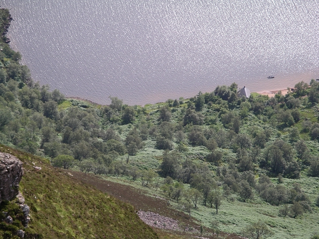
The village is nestled in the heart of the Scottish Highlands, surrounded by rolling hills and pristine lochs. It is a haven for nature enthusiasts and outdoor adventurers, offering a plethora of activities such as hiking, cycling, and birdwatching. The woodlands of Doire Gharbh are home to a diverse range of flora and fauna, including ancient oak trees, vibrant wildflowers, and various species of birds and mammals.
The village itself boasts a small population, with a close-knit community that takes pride in preserving the natural beauty of the area. Traditional Scottish architecture can be seen in the charming cottages and stone buildings that line the streets. The locals are known for their warm hospitality and strong connection to the land, often engaging in sustainable practices and promoting eco-tourism.
Visitors to Doire Gharbh can explore the surrounding woodlands through well-marked trails, allowing them to immerse themselves in the tranquility and serenity of nature. The village also offers amenities such as quaint bed and breakfasts, local pubs serving traditional Scottish cuisine, and small craft shops where visitors can purchase handmade souvenirs.
Doire Gharbh is truly a hidden gem in the Scottish Highlands, providing a serene retreat for those seeking solace in nature's embrace.
If you have any feedback on the listing, please let us know in the comments section below.
Doire Gharbh Images
Images are sourced within 2km of 57.507584/-5.5662506 or Grid Reference NG8651. Thanks to Geograph Open Source API. All images are credited.


Doire Gharbh is located at Grid Ref: NG8651 (Lat: 57.507584, Lng: -5.5662506)
Unitary Authority: Highland
Police Authority: Highlands and Islands
What 3 Words
///patching.powder.stance. Near Lochcarron, Highland
Nearby Locations
Related Wikis
Falls of Balgy
Falls of Balgy is a waterfall near Torridon in Scotland. == See also == Waterfalls of Scotland == References ==

Annat, Highland
Annat (Scottish Gaelic: An Annaid) is a small village at the eastern end of Upper Loch Torridon in Wester Ross, in the Highland council area of Scotland...

Beinn Damh
Beinn Damh (or Ben Damph) is a Scottish mountain situated in the wild mountainous area between Upper Loch Torridon and Glen Carron, 25 kilometres north...
Beinn na h-Eaglaise (Graham)
Beinn na h-Eaglaise (736 m) is a mountain in the Northwest Highlands of Scotland. It lies in Wester Ross, south of the village of Torridon. A steep mountain...
Have you been to Doire Gharbh?
Leave your review of Doire Gharbh below (or comments, questions and feedback).