Coille Mhialairigh
Wood, Forest in Inverness-shire
Scotland
Coille Mhialairigh
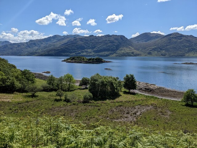
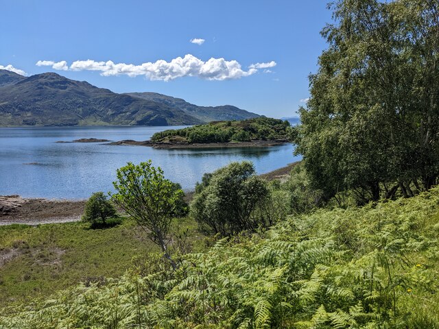
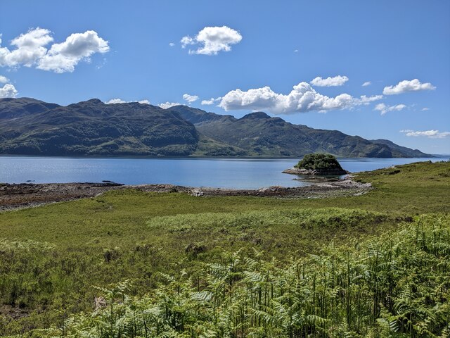
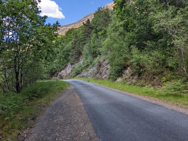
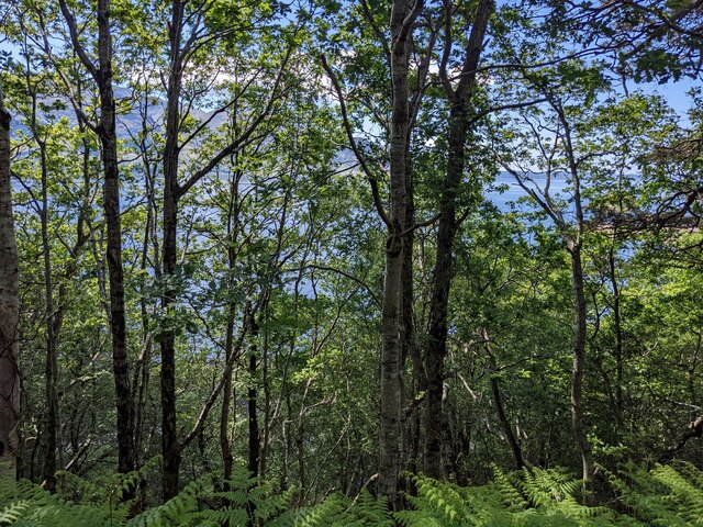
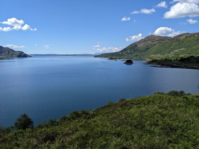
Coille Mhialairigh, located in Inverness-shire, Scotland, is a picturesque wood and forest area that offers visitors a unique and serene experience. Spanning over several hectares, this natural haven is known for its breathtaking beauty and diverse wildlife.
The wood is primarily composed of native tree species such as Scots pine, birch, and oak, which create a rich and vibrant landscape. The dense foliage provides a habitat for a wide variety of bird species, making it a popular spot for birdwatchers and nature enthusiasts. Visitors may catch a glimpse of buzzards, red kites, and even the elusive golden eagle.
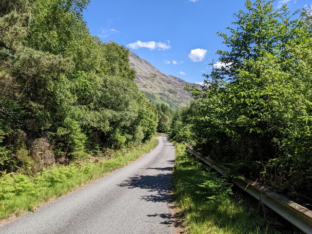
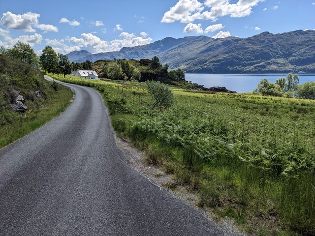
Walking trails wind through Coille Mhialairigh, allowing explorers to immerse themselves in the tranquility of nature. The pathways are well-maintained, making it accessible to all, and there are information boards along the route providing educational insights into the flora and fauna found within the forest.
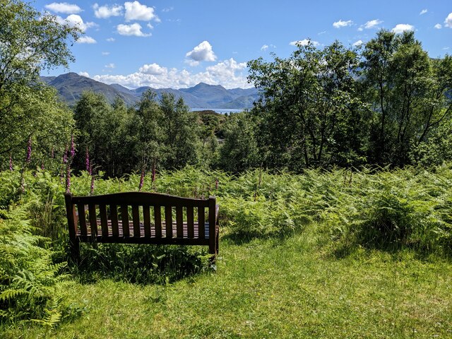
Additionally, the wood offers a range of recreational activities for visitors. Picnic areas are scattered throughout, offering a perfect place to relax and enjoy a meal amidst the stunning surroundings. The forest also features designated camping spots for those looking to spend a night under the stars.
Coille Mhialairigh is a true gem in Inverness-shire, providing a peaceful escape from the hustle and bustle of everyday life. Whether you're a nature lover, a birdwatcher, or simply seeking a place to unwind, this enchanting wood and forest offers a truly unforgettable experience.
If you have any feedback on the listing, please let us know in the comments section below.
Coille Mhialairigh Images
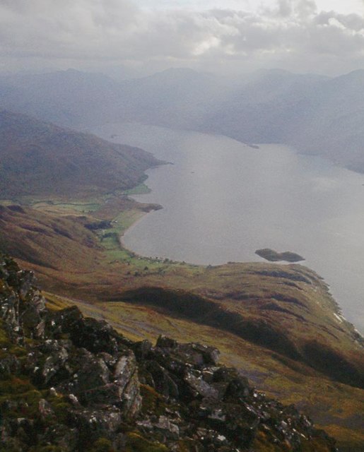
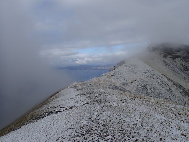
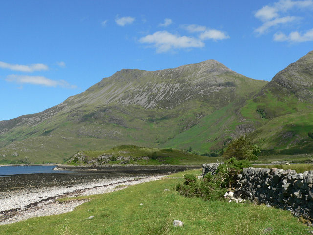
Images are sourced within 2km of 57.149217/-5.6026323 or Grid Reference NG8212. Thanks to Geograph Open Source API. All images are credited.
Coille Mhialairigh is located at Grid Ref: NG8212 (Lat: 57.149217, Lng: -5.6026323)
Unitary Authority: Highland
Police Authority: Highlands and Islands
What 3 Words
///arranger.hinders.pardon. Near Glenelg, Highland
Nearby Locations
Related Wikis
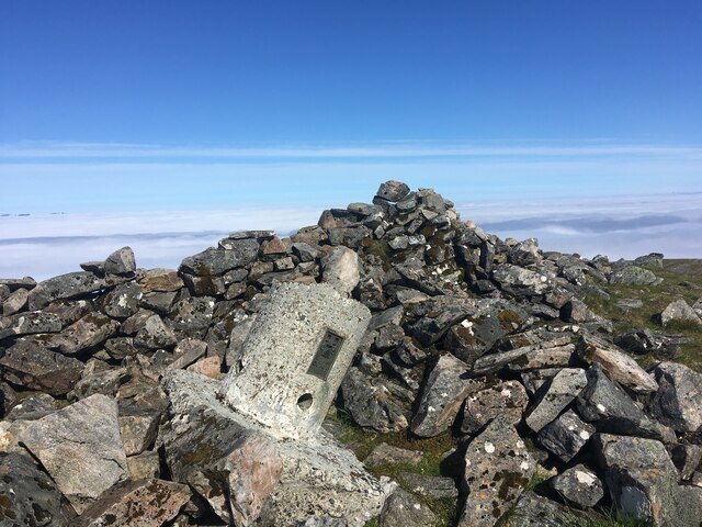
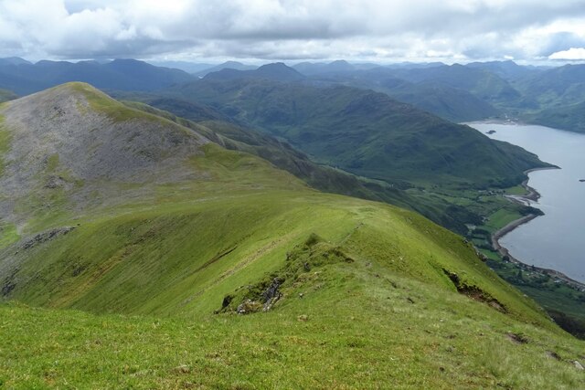
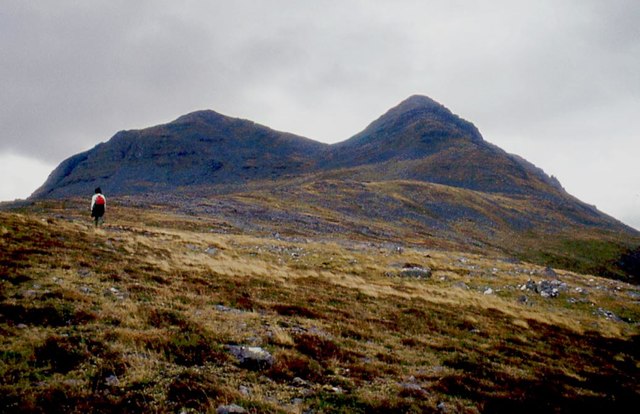
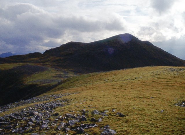
Beinn Sgritheall
Beinn Sgritheall or Beinn an Sgrithill (Scottish Gaelic for 'scree mountain'), also anglicized Ben Sgriol, is the highest mountain on the Glenelg peninsula...

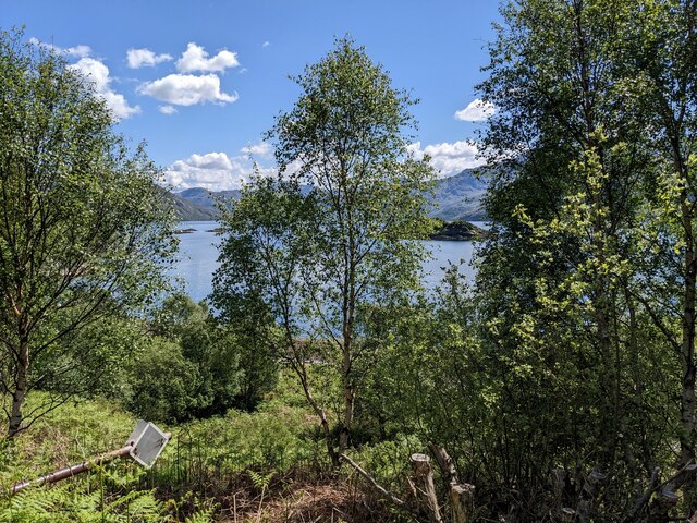
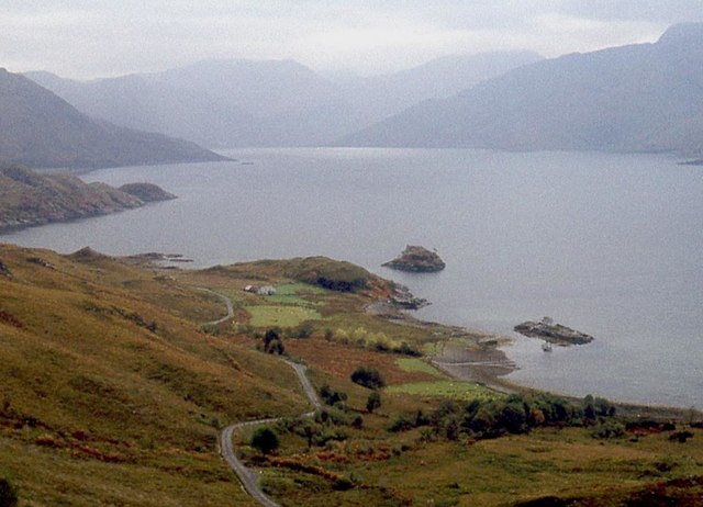
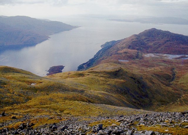
Loch Hourn
Loch Hourn (Scottish Gaelic: Loch Shubhairne) is a sea loch which separates the peninsulas of Glenelg to the north and Knoydart to the south, on the west...

Arnisdale
Arnisdale (Scottish Gaelic: Àrnasdal) is a hamlet in the historic county of Inverness-shire in the local authority area of Highlands of Scotland. It lies...

Arnisdale Free Church
Arnisdale Free Church is a church building at one time connected to the Free Church of Scotland. It is sited in Arnisdale, Inverness-shire, Scotland. According...
Nearby Amenities
Located within 500m of 57.149217,-5.6026323Have you been to Coille Mhialairigh?
Leave your review of Coille Mhialairigh below (or comments, questions and feedback).