Coille Chaolais

Wood, Forest in Inverness-shire

Scotland

Coille Chaolais

Rocks and a rusty wheelbarrow on Beinn Bhuidhe The old wheelbarrow and the corrugated sheet are probably from the old mica workings, see <a href="https://www.geograph.org.uk/photo/494103">NM7996 : Compressor house</a>
Rocks and a rusty wheelbarrow on Beinn Bhuidhe Credit: wrobison

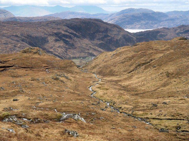
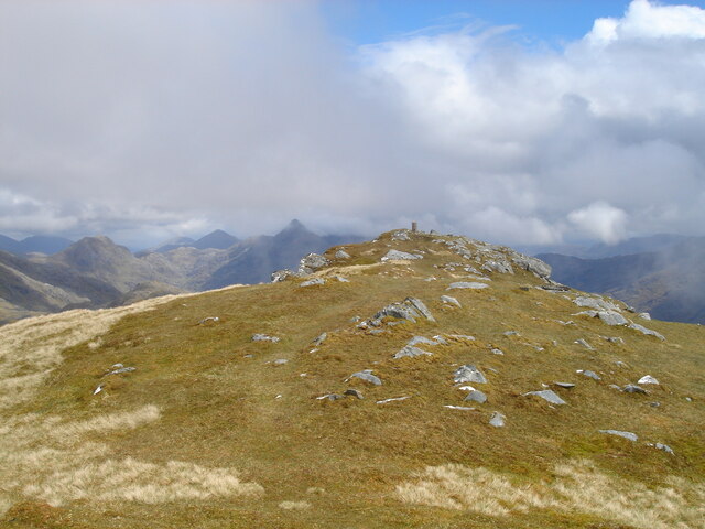
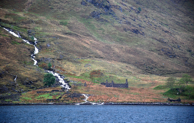
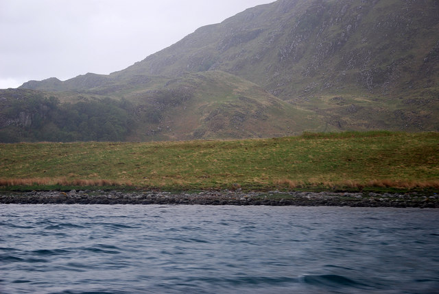
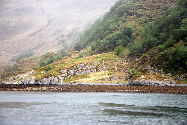
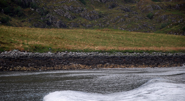
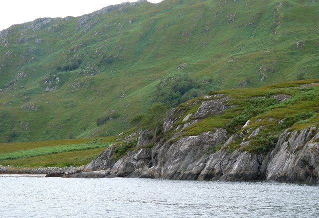
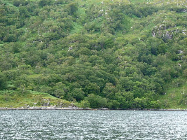
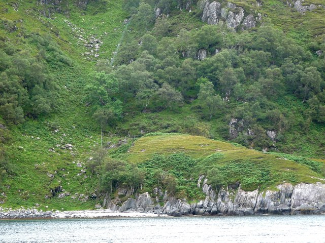
Coille Chaolais, located in Inverness-shire, Scotland, is a magnificent wood or forest area renowned for its natural beauty and rich biodiversity. Spanning over a vast area, it is a popular destination for nature enthusiasts and outdoor adventurers.

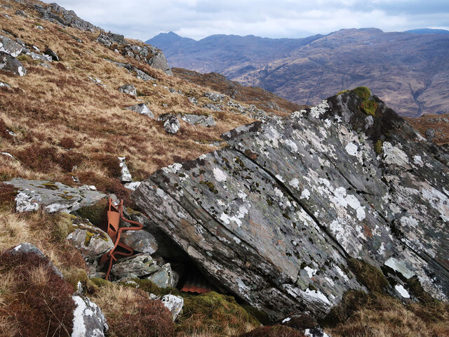
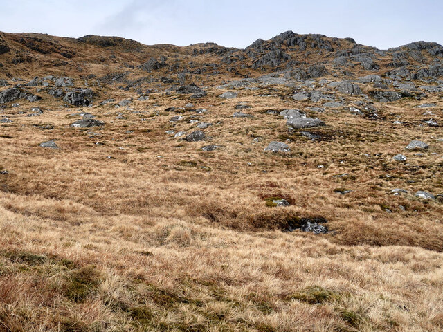
The wood is characterized by its diverse range of tree species, including towering Scots pines, silver birches, and native oaks. These trees form a dense canopy overhead, creating a serene and tranquil atmosphere within the forest. The forest floor is carpeted with lush mosses, ferns, and wildflowers, adding to its enchanting charm.

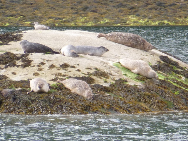
Coille Chaolais is home to a variety of wildlife, making it an ideal spot for animal lovers. Visitors may spot red deer, foxes, badgers, and an array of bird species, including golden eagles, ospreys, and woodpeckers. The forest's diverse ecosystem provides a natural habitat for these creatures, allowing them to thrive in their natural surroundings.

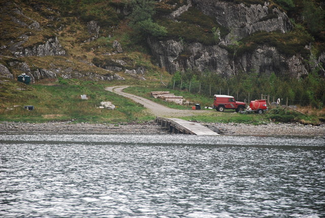
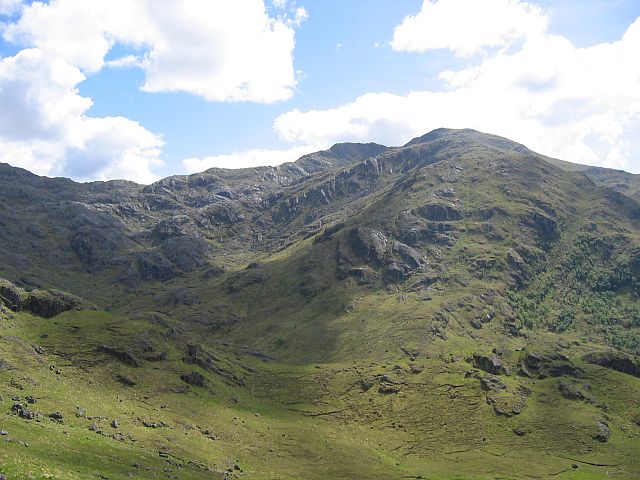
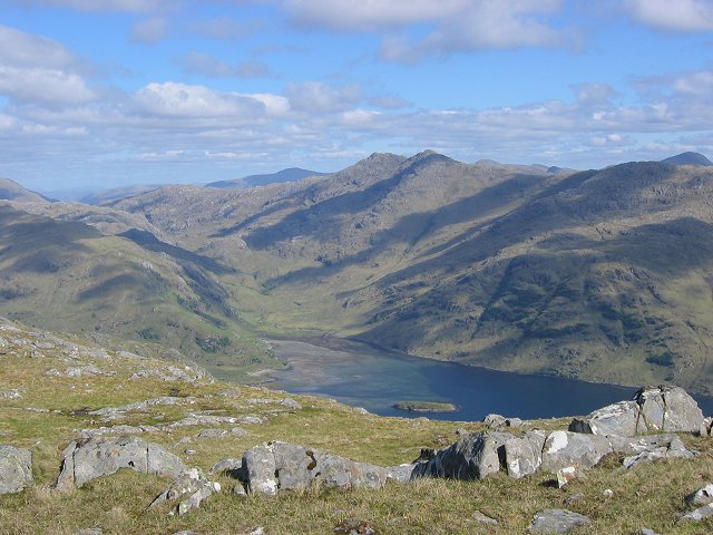
For outdoor enthusiasts, Coille Chaolais offers a network of well-maintained trails, allowing visitors to explore the forest at their own pace. Hiking and walking routes cater to all levels of fitness, providing options for both casual strolls and more challenging treks. The forest also features picnic areas and viewpoints, providing opportunities to relax and take in the breathtaking scenery.

Coille Chaolais is a place of natural beauty and tranquility, offering a haven for those seeking to connect with nature. Its lush woodland, diverse wildlife, and well-maintained trails make it a must-visit destination for anyone visiting Inverness-shire.

If you have any feedback on the listing, please let us know in the comments section below.

Coille Chaolais Images

Images are sourced within 2km of 56.994728/-5.5897649 or Grid Reference NM8295. Thanks to Geograph Open Source API. All images are credited.

Rocks and a rusty wheelbarrow on Beinn Bhuidhe The old wheelbarrow and the corrugated sheet are probably from the old mica workings, see <a href="https://www.geograph.org.uk/photo/494103">NM7996 : Compressor house</a>
Rocks and a rusty wheelbarrow on Beinn Bhuidhe
The old wheelbarrow and the corrugated sheet are probably from the old mica workings, see NM7996 : Compressor house
Southern slopes of Beinn Bhuidhe
Allt Tachair on Beinn Bhuidhe A short burn that flows into Loch Nevis
Allt Tachair on Beinn Bhuidhe
A short burn that flows into Loch Nevis
Southern slopes of Beinn Bhuidhe Looking east towards the head of Loch Nevis.
Southern slopes of Beinn Bhuidhe
Looking east towards the head of Loch Nevis.
Southern slopes of Beinn Bhuidhe Looking north towards the summit ridge.
Southern slopes of Beinn Bhuidhe
Looking north towards the summit ridge.
The Final Slopes Nearing the summit of the Corbett of Beinn Bhuidhe and the views are terrific. Sgurr na Ciche is the prominent peak in the centre and you can see the head of Loch Nevis. It's been a rough old slog to get to this point from Druim bothy and the rough descent is still to come!
The Final Slopes
Nearing the summit of the Corbett of Beinn Bhuidhe and the views are terrific. Sgurr na Ciche is the prominent peak in the centre and you can see the head of Loch Nevis. It's been a rough old slog to get to this point from Druim bothy and the rough descent is still to come!
Nearing Beinn Bhuidhe summit from the west Beinn Bhuidhe is a remote 855m Corbett in Knoydart, with a long straight ridge running almost exactly east / west. Cloud covers the tops of the mountains to the east, but the pyramidal Sgurr na Ciche is still clear, left of the trig point.
Nearing Beinn Bhuidhe summit from the west
Beinn Bhuidhe is a remote 855m Corbett in Knoydart, with a long straight ridge running almost exactly east / west. Cloud covers the tops of the mountains to the east, but the pyramidal Sgurr na Ciche is still clear, left of the trig point.
Ardnamurach Ruins Remote spot on the south shore of inner Loch Nevis
Ardnamurach Ruins
Remote spot on the south shore of inner Loch Nevis
Loch Nevis Low lying track of land lying to the east of Kylesknoydart.
Loch Nevis
Low lying track of land lying to the east of Kylesknoydart.
Kylesmorar Jetty A service jetty for boats, otherwise a trek over a coastal track from Tarbet.
Kylesmorar Jetty
A service jetty for boats, otherwise a trek over a coastal track from Tarbet.
Coille Chalolais The western edge of this natural woodland clinging to the southern slopes of beinn Buidhe.
Coille Chalolais
The western edge of this natural woodland clinging to the southern slopes of beinn Buidhe.
Allt  Salach-airigh A burn which drains the upper slopes of Beinn Buidhe entry point into Loch Nevis.
Allt Salach-airigh
A burn which drains the upper slopes of Beinn Buidhe entry point into Loch Nevis.
Grazing Land West of Kylesknoydart and south of the Allt an Eachdarra is an unusual low lying corner.  It must have been well prized and envied at the beginning of last century when this area was populated.
Grazing Land
West of Kylesknoydart and south of the Allt an Eachdarra is an unusual low lying corner. It must have been well prized and envied at the beginning of last century when this area was populated.
Rubha na Doire Cairtidh A rocky obstacle to progress along the shoreline.
Rubha na Doire Cairtidh
A rocky obstacle to progress along the shoreline.
Coille Chaolais Natural woods near Rubha Dubh a' Bhàta

.
Coille Chaolais
Natural woods near Rubha Dubh a' Bhàta .
Deer fence climbs Creag Chruachain
Loch Nevis: seals on a rock A number of seals on a small rock on the northern edge of Loch Nevis.
Loch Nevis: seals on a rock
A number of seals on a small rock on the northern edge of Loch Nevis.
Loch Nevis: teacups and a loch view Looking up Loch Nevis from the Knoydart ferry, which on its return journey to Mallaig detours up the loch to view the scenery and the seals. The tea is complimentary.
Loch Nevis: teacups and a loch view
Looking up Loch Nevis from the Knoydart ferry, which on its return journey to Mallaig detours up the loch to view the scenery and the seals. The tea is complimentary.
Show me another place!

Coille Chaolais is located at Grid Ref: NM8295 (Lat: 56.994728, Lng: -5.5897649)

Unitary Authority: Highland

Police Authority: Highlands and Islands

What 3 Words

///motivate.vocally.highbrow. Near Arisaig, Highland

Nearby Locations

Coille Chaolais

Related Wikis

Beinn Bhuidhe (Knoydart)

Beinn Bhuidhe (855m) is a mountain in the Northwest Highlands of Scotland. It lies in a very remote area of Knoydart, Lochaber. Lying on the north side...

Tarbet, Loch Nevis

Tarbet (Scottish Gaelic: An Tairbeart or Tairbeart Loch Nibheis) is a place on the south shore of Loch Nevis in Scotland, about 6 miles (10 kilometres...

Meall Buidhe, Knoydart

Meall Buidhe (946 m) is a mountain in the Northwest Highlands, Scotland. It lies on the Knoydart peninsula in Lochaber. A rocky mountain, Meall Buidhe...

Loch Nevis

Loch Nevis (Scottish Gaelic: Loch Nibheis) is a sea loch in Lochaber on the west coast of Scotland. It runs inland from the Sound of Sleat, and is bounded...

Nearby Amenities

Located within 500m of 56.994728,-5.5897649
Created By: dmgroom_coastlines
Source: PGS
Lat/Long: 56.990882/-5.593367
Created By: dmgroom_coastlines
Source: PGS
Lat/Long: 56.991158/-5.592447
Created By: dmgroom_coastlines
Source: PGS
Lat/Long: 56.991291/-5.592223
Created By: dmgroom_coastlines
Source: PGS
Lat/Long: 56.991423/-5.591997
Created By: dmgroom_coastlines
Source: PGS
Lat/Long: 56.991556/-5.591772
Created By: dmgroom_coastlines
Source: PGS
Lat/Long: 56.991689/-5.591546
Source: PGS
Lat/Long: 56.9919888/-5.5905023
Source: PGS
Lat/Long: 56.9919854/-5.5902666
Created By: dmgroom_coastlines
Source: PGS
Lat/Long: 56.991851/-5.589916
Source: PGS
Lat/Long: 56.9916476/-5.5894045
Source: PGS
Lat/Long: 56.991414/-5.5892412
Created By: dmgroom_coastlines
Source: PGS
Lat/Long: 56.991501/-5.588248
Source: PGS
Lat/Long: 56.9916583/-5.5875563
Source: PGS
Lat/Long: 56.9920332/-5.5872478
Source: PGS
Lat/Long: 56.9922031/-5.5866609
Source: PGS
Lat/Long: 56.9921066/-5.5861781
Source: PGS
Lat/Long: 56.9923515/-5.5853552
Source: PGS
Lat/Long: 56.9928754/-5.5848896
Source: PGS
Lat/Long: 56.9930832/-5.5837948
Source: PGS
Lat/Long: 56.9929152/-5.583006
Coille Chaolais
Place: locality
Lat/Long: 56.9948079/-5.5882246
The data included in this document is from www.openstreetmap.org. The data is made available under ODbL.

Have you been to Coille Chaolais?

Leave your review of Coille Chaolais below (or comments, questions and feedback).