Calthwaite

Settlement in Cumberland Eden

England

Calthwaite

Field and Wood. No sign of the water marked on the map perhaps hidden in the wood?
Field and Wood. Credit: John Holmes

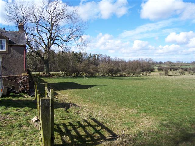
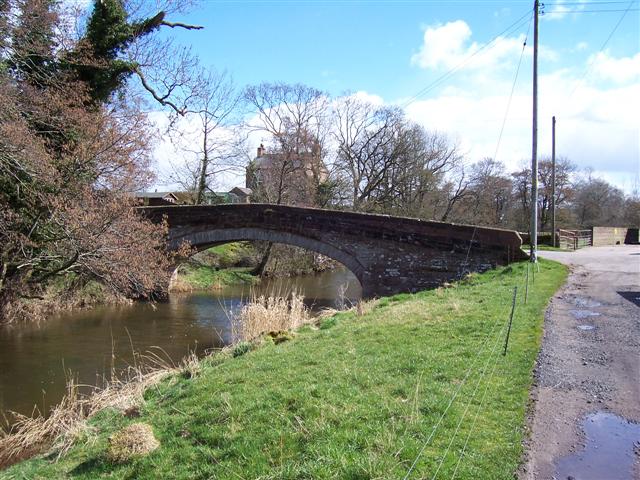
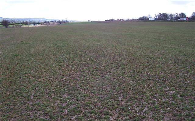
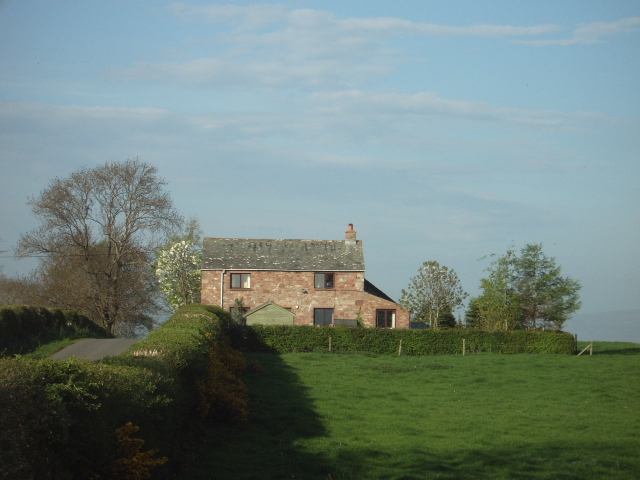
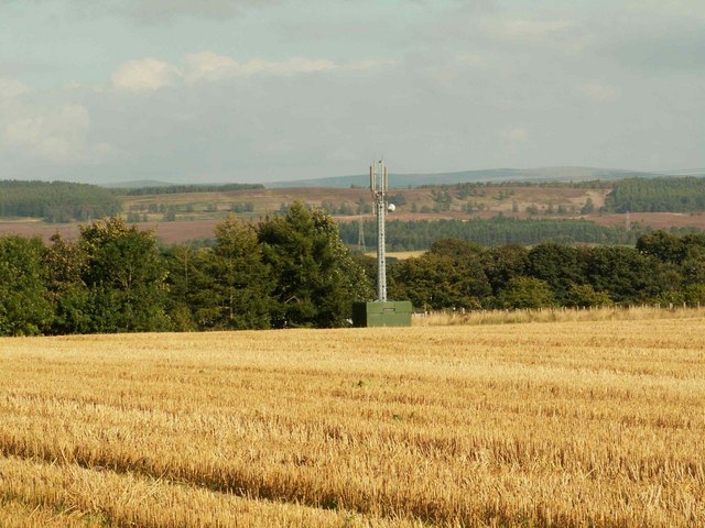
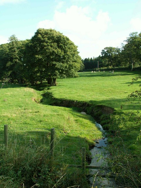
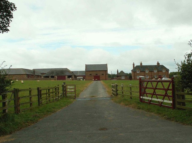
Calthwaite is a small village located in the historic county of Cumberland, in the northwest region of England. Situated approximately 5 miles southeast of the city of Carlisle, it lies within the Eden district of Cumbria. The village is nestled in a picturesque countryside setting, surrounded by rolling hills and green fields.

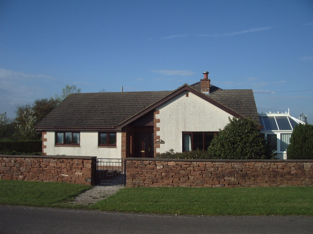
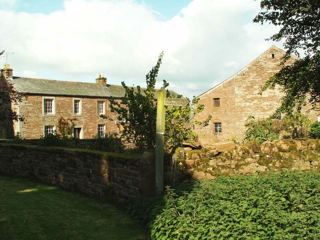
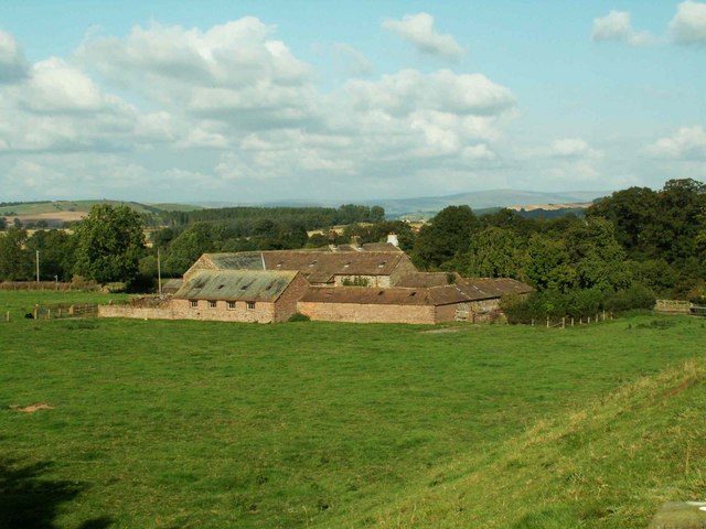
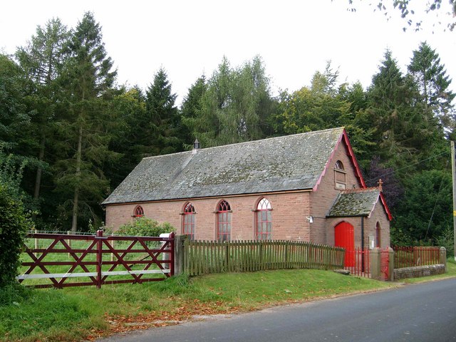
Calthwaite has a rich history dating back centuries, with evidence of human habitation in the area since prehistoric times. The village itself is characterized by its charming stone-built houses and traditional architecture, giving it a quintessential English village feel.

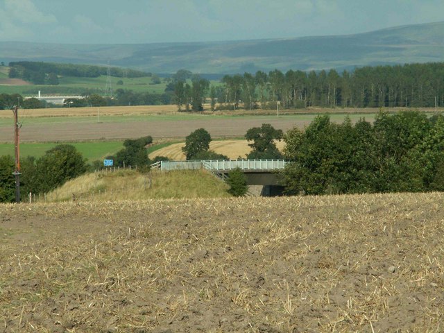
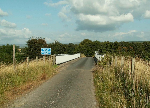
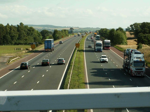
Although small in size, Calthwaite offers a range of amenities for its residents and visitors. These include a village hall, a primary school, a local pub, and a church. The village is also well-connected, with easy access to the nearby A6 road, which serves as a major transportation route in the region.

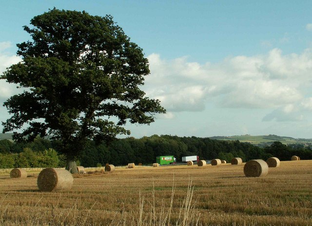
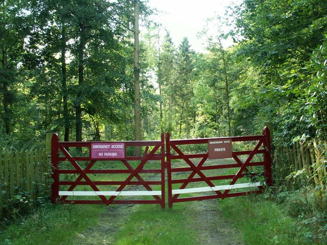
For those seeking outdoor activities, Calthwaite is surrounded by stunning natural landscapes, making it an ideal location for hiking, cycling, and exploring the nearby countryside. The village is also close to the River Eden, offering opportunities for fishing and boating enthusiasts.

Overall, Calthwaite combines a peaceful rural setting with convenient access to nearby urban areas, making it an attractive place to live or visit for those seeking a tranquil village lifestyle in the heart of Cumberland.

If you have any feedback on the listing, please let us know in the comments section below.

Calthwaite Images

Images are sourced within 2km of 54.755732/-2.828167 or Grid Reference NY4640. Thanks to Geograph Open Source API. All images are credited.

Field and Wood. No sign of the water marked on the map perhaps hidden in the wood?
Field and Wood.
No sign of the water marked on the map perhaps hidden in the wood?
Road bridge at Plumpton Foot. With the Mill hiding in the trees in the background.
Road bridge at Plumpton Foot.
With the Mill hiding in the trees in the background.
Wet eden valley farmland. With the M6 on the right and the railway on the left and a patch of floodwater across the railway.
Wet eden valley farmland.
With the M6 on the right and the railway on the left and a patch of floodwater across the railway.
Three Gables
Three Gables
Ling Close Barn
Ling Close Barn
Straw bales and motorway traffic
Calthwaite House Start of footpath to Plumpton Foot
Calthwaite House
Start of footpath to Plumpton Foot
Calthwaite House Bridge
Phone mast in field of stubble
Robinson House Bridge
M6 from Robinson House Bridge
Robinson House Farm
Robinson House Farm
Ravensgill Beck
Ravensgill Beck
Entrance to Ravensgill Plantation This smart maroon paint features prominently on properties around the Brackenburgh
Estate.
Entrance to Ravensgill Plantation
This smart maroon paint features prominently on properties around the Brackenburgh Estate.
Plumpton Back Street Methodist Church The church was opened in 1905.
Plumpton Back Street Methodist Church
The church was opened in 1905.
Brackenburgh Home Farm
Imposing gateway with postbox, Brackenburgh Estate
Lane at Plumpton Foot The frosty road climbing from Plumptonfoot Farm towards Brackenburgh.
Lane at Plumpton Foot
The frosty road climbing from Plumptonfoot Farm towards Brackenburgh.
Show me another place!

Calthwaite is located at Grid Ref: NY4640 (Lat: 54.755732, Lng: -2.828167)

Administrative County: Cumbria

District: Eden

Police Authority: Cumbria

What 3 Words

///dares.retiring.entire. Near Penrith, Cumbria

Nearby Locations

Calthwaite Laiking Wood

Related Wikis

Calthwaite

Calthwaite is a small village in rural Cumbria, England, situated between the small market town of Penrith and the larger city of Carlisle. It is within...
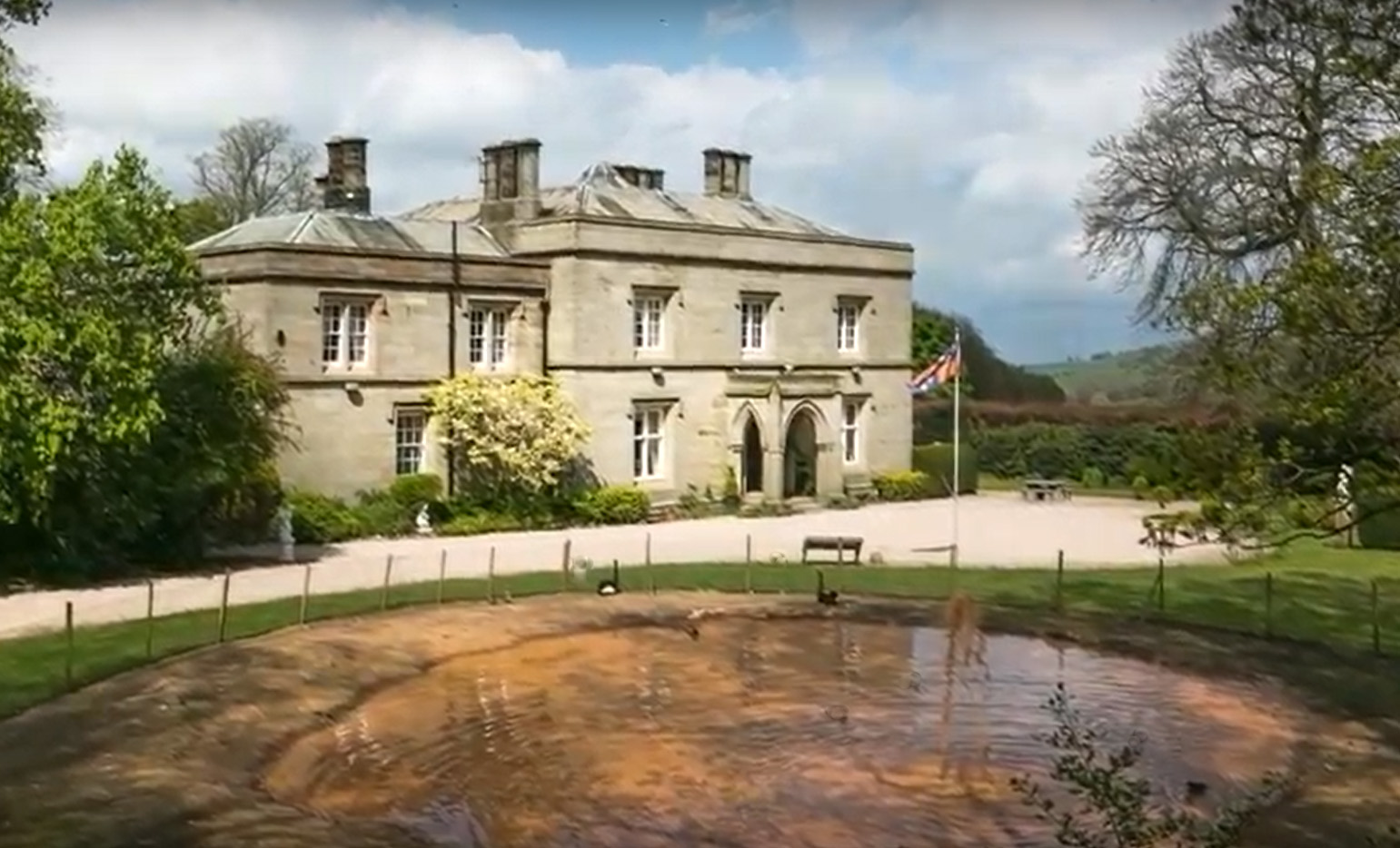
Calthwaite Hall

Calthwaite Hall, near Penrith in Cumbria, England, is a house of historical significance and is Grade II listed on the National Heritage List for England...

Calthwaite railway station

Calthwaite railway station in Hesket parish, was situated on the Lancaster and Carlisle Railway (the West Coast Main Line) between Carlisle and Penrith...

Morton, Eden

Morton is a hamlet near the village of Calthwaite, in the civil parishes of Hesket and Skelton, within the Eden district of the English county of Cumbria...

Nearby Amenities

Located within 500m of 54.755732,-2.828167
Created By: Merkaartor 0.12
Lat/Long: 54.754319/-2.8285395
Created By: Merkaartor 0.12
Lat/Long: 54.7548236/-2.8273057
Created By: Merkaartor 0.12
Lat/Long: 54.7523686/-2.8230678
Created By: Merkaartor 0.12
Lat/Long: 54.7577675/-2.8328954
Created By: Merkaartor 0.12
Lat/Long: 54.7581637/-2.8332709
Turning Circle
Lat/Long: 54.7562732/-2.8303029
Turning Circle
Source: survey
Lat/Long: 54.7558076/-2.8298428
All Saints Church
Local Ref: AT
Naptan AtcoCode: 090074292155
Naptan Bearing: W
Naptan BusStopType: CUS
Naptan CommonName: All Saints Church
Naptan Indicator: at
Naptan Landmark: Village Crossroads
Naptan NaptanCode: cumdajmj
Naptan Street: No name
Naptan Verified: no
Source: naptan_import
Lat/Long: 54.7532614/-2.8259501
Post Box
Post Box Type: wall
Ref: CA11 241
Royal Cypher: GR
Royal Cypher Wikidata: Q33102273
Source: survey
Lat/Long: 54.7548023/-2.8290988
Direction: SW
Generator Method: photovoltaic
Generator Output Electricity: yes
Generator Source: solar
Generator Type: solar_photovoltaic_panel
Location: roof
Power: generator
Lat/Long: 54.7559477/-2.8312529
Direction: SE
Generator Method: photovoltaic
Generator Output Electricity: yes
Generator Source: solar
Generator Type: solar_photovoltaic_panel
Location: roof
Power: generator
Lat/Long: 54.7559578/-2.8299561
Defibrillator
Defibrillator Location: outside Calthwaite CofE School building
Emergency: defibrillator
Indoor: no
Ref GB The Circuit: 7EEB0C7F-50FF-488A-95A2-AE3600E7C94B
Lat/Long: 54.754758/-2.8294092
Bench
Lat/Long: 54.7533664/-2.8258712
Waste Basket
Waste: trash
Lat/Long: 54.7533959/-2.8258835
Grit Bin
Access: yes
Material: plastic
Lat/Long: 54.7534897/-2.8257702
Grit Bin
Access: yes
Lat/Long: 54.7539895/-2.8275523
Direction: 120
Generator Method: photovoltaic
Generator Output Electricity: small_installation
Generator Source: solar
Generator Type: solar_photovoltaic_panel
Power: generator
Lat/Long: 54.7524166/-2.8275963
Generator Method: photovoltaic
Generator Output Electricity: small_installation
Generator Source: solar
Generator Type: solar_photovoltaic_panel
Power: generator
Lat/Long: 54.7549709/-2.8282713
Power: pole
Lat/Long: 54.7551752/-2.8357861
Power: pole
Lat/Long: 54.7551793/-2.8343049
Power: pole
Lat/Long: 54.755182/-2.832155
Power: pole
Lat/Long: 54.755182/-2.8310506
Power: pole
Lat/Long: 54.7530247/-2.8240816
Power: pole
Lat/Long: 54.753518/-2.8255133
The data included in this document is from www.openstreetmap.org. The data is made available under ODbL.

Have you been to Calthwaite?

Leave your review of Calthwaite below (or comments, questions and feedback).