East Borrodale Plantation
Wood, Forest in Inverness-shire
Scotland
East Borrodale Plantation

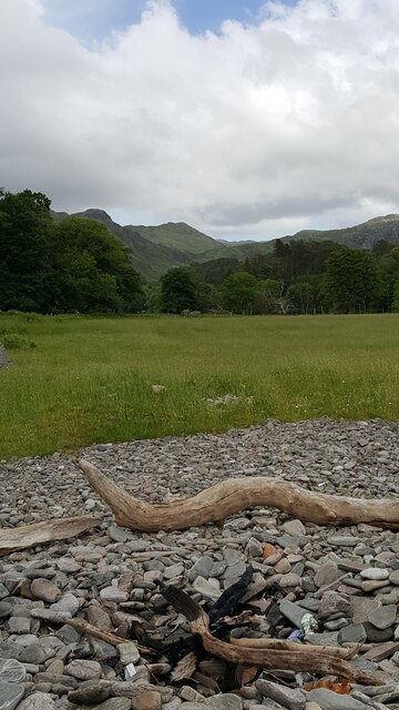
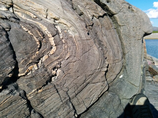
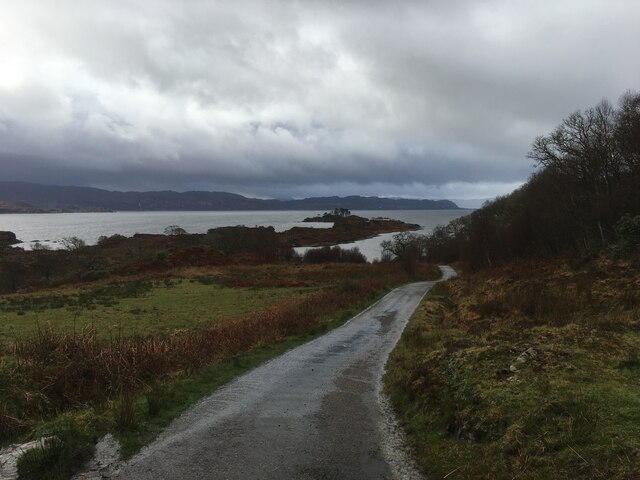
East Borrodale Plantation is a sprawling woodland located in Inverness-shire, Scotland. Covering an area of approximately 500 acres, this plantation is home to a diverse range of tree species including Scots pine, oak, birch, and beech. The woodland is a mix of mature trees and younger saplings, creating a varied landscape that supports a wide array of wildlife.
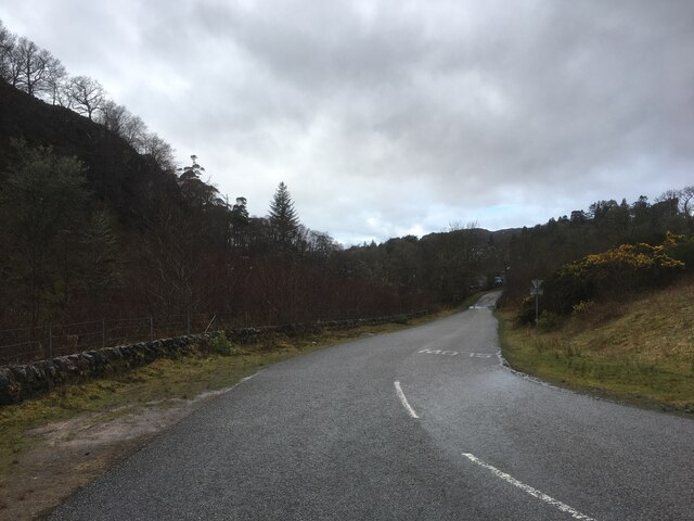
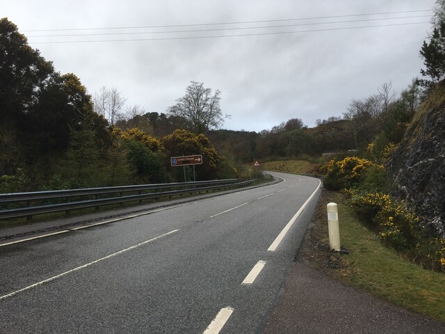
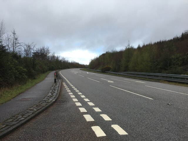
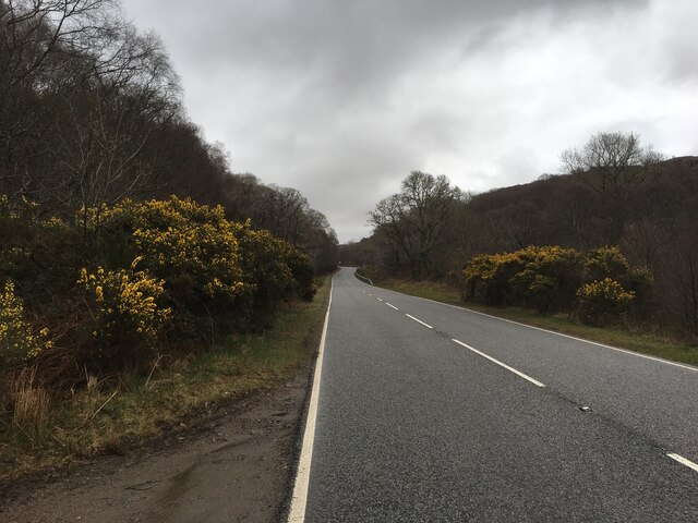
Trails wind through the plantation, allowing visitors to explore the wooded area on foot, bike, or horseback. These paths offer stunning views of the surrounding countryside and provide opportunities for birdwatching and nature photography.
East Borrodale Plantation is managed sustainably, with careful consideration given to conservation and biodiversity. Forestry practices such as selective harvesting and replanting ensure the long-term health of the woodland and support the ecosystem within.
The plantation is a popular destination for outdoor enthusiasts, offering a peaceful and tranquil escape from the hustle and bustle of everyday life. Whether visitors are looking for a leisurely stroll through the trees or a more adventurous hike, East Borrodale Plantation provides a natural oasis for all to enjoy.
If you have any feedback on the listing, please let us know in the comments section below.
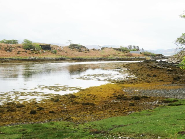
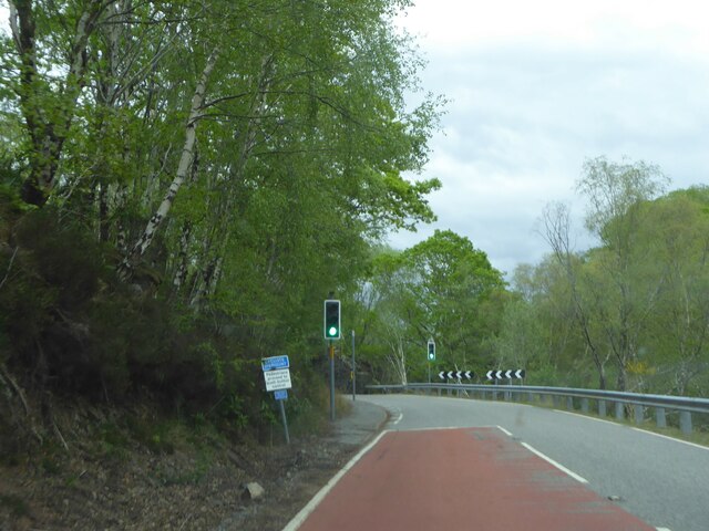
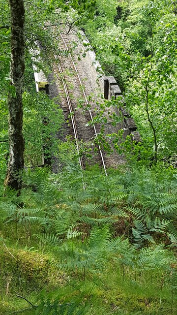
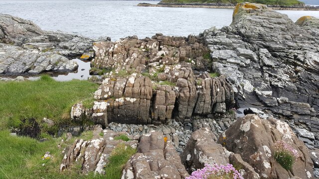
East Borrodale Plantation Images
Images are sourced within 2km of 56.899978/-5.7818529 or Grid Reference NM6985. Thanks to Geograph Open Source API. All images are credited.


East Borrodale Plantation is located at Grid Ref: NM6985 (Lat: 56.899978, Lng: -5.7818529)
Unitary Authority: Highland
Police Authority: Highlands and Islands
What 3 Words
///corals.reforming.grinders. Near Arisaig, Highland
Nearby Locations
Related Wikis
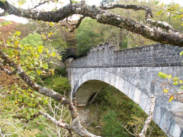
Borrodale Viaduct
The Borrodale Viaduct is a railway viaduct that carries the West Highland Line over the Borrodale Burn. == History == The West Highland Railway was built...

Prince Charlie's Cave
There are many Prince Charlies Caves in the Highlands, caves where Charles Edward Stuart was said to have sheltered when on the run from the Duke of Cumberland...

Beasdale railway station
Beasdale railway station is a railway station serving Glen Beasdale in the Highland region of Scotland. This station is on the West Highland Line, sited...
Druimindarroch
Druimindarroch (Scottish Gaelic: Druim nan Darach) is a small settlement which lies on the north coast of Loch nan Uamh in Lochaber, Scottish Highlands...
Nearby Amenities
Located within 500m of 56.899978,-5.7818529Have you been to East Borrodale Plantation?
Leave your review of East Borrodale Plantation below (or comments, questions and feedback).