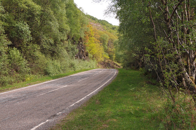
Kyles Wood
Wood, Forest in Inverness-shire
Scotland
Kyles Wood

The requested URL returned error: 429 Too Many Requests
If you have any feedback on the listing, please let us know in the comments section below.
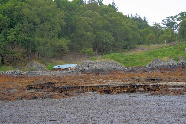
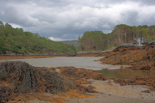
Kyles Wood Images
Images are sourced within 2km of 56.798103/-5.8085128 or Grid Reference NM6773. Thanks to Geograph Open Source API. All images are credited.


Kyles Wood is located at Grid Ref: NM6773 (Lat: 56.798103, Lng: -5.8085128)
Unitary Authority: Highland
Police Authority: Highlands and Islands
What 3 Words
///tenure.headers.adopt. Near Arisaig, Highland
Nearby Locations
Related Wikis

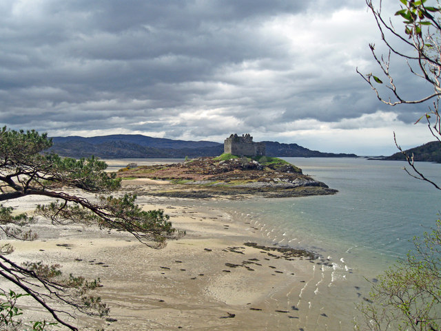
Loch Moidart
Loch Moidart is a sea loch (sea inlet) in the district of Moidart in Highland, Scotland. It is on the west coast of Scotland, and runs about 8 km (5 miles...

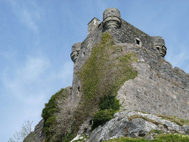
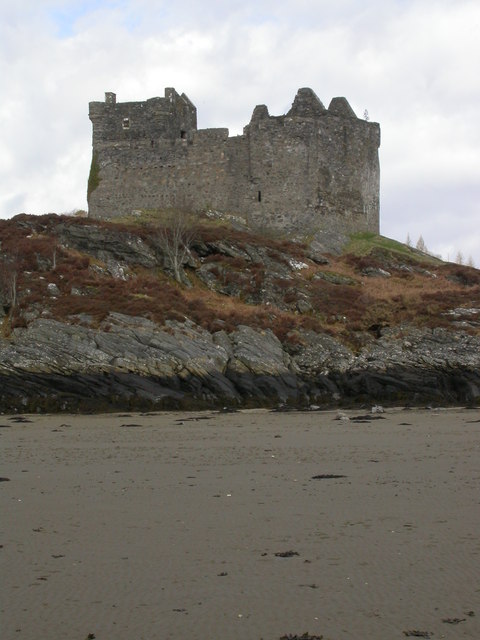
Castle Tioram
Castle Tioram (; Scottish Gaelic: Caisteal Tioram, meaning "dry castle") is a ruined castle that sits on the tidal island Eilean Tioram in Loch Moidart...

Eilean Shona
Eilean Shona (Scottish Gaelic: Eilean Seòna) is a tidal island in Loch Moidart, Scotland. The modern name may be from the Old Norse for "sea island". The...

Glenuig
Glenuig ( glen-OO-ig, Scottish Gaelic: Ghlìnn-Ùige) is a small village in Moidart, Lochaber, Highland, on the west coast of Scotland. It is around 30 miles...
Nearby Amenities
Located within 500m of 56.798103,-5.8085128Have you been to Kyles Wood?
Leave your review of Kyles Wood below (or comments, questions and feedback).