Aber-banc

Settlement in Cardiganshire

Wales

Aber-banc

The 11:30 express is about to depart
The 11:30 express is about to depart Credit: Row17

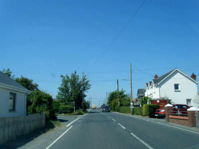
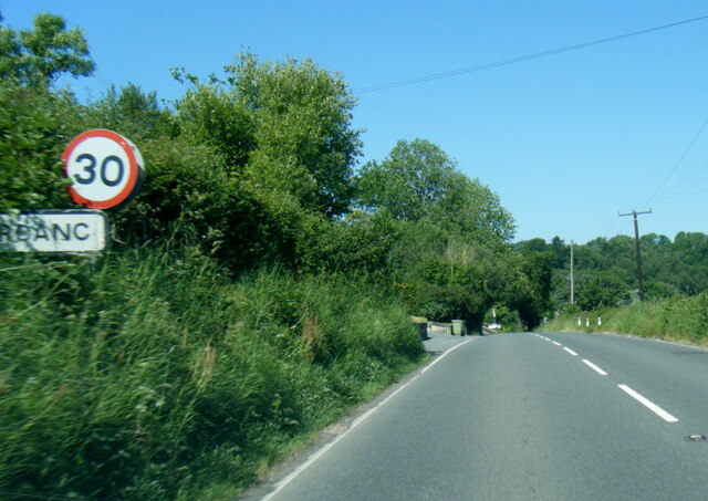
Aber-banc is a small village located in the county of Cardiganshire, Wales. Situated in the western part of the country, it is nestled in the beautiful countryside and is surrounded by rolling hills and lush green fields. The village is approximately 16 miles away from the county town of Cardigan and is easily accessible via the B4333 road.

Aber-banc is a tight-knit community with a population of around 500 residents. It is characterized by its peaceful and picturesque setting, making it an ideal location for those seeking a tranquil lifestyle away from the hustle and bustle of the city. The village is known for its strong sense of community spirit, with various social events and gatherings organized throughout the year.

The village itself offers limited amenities, including a local convenience store, a post office, and a primary school, making it a convenient place for families. For additional services and facilities, residents often travel to nearby towns such as Cardigan.

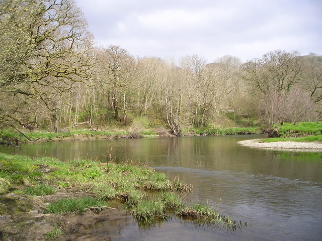
The surrounding area of Aber-banc offers an abundance of natural beauty and outdoor activities. The nearby Teifi River is renowned for its fishing opportunities, attracting anglers from far and wide. Additionally, the village is within close proximity to several stunning beaches along the Cardigan Bay coastline, providing residents with ample opportunities for coastal walks and water sports.

In conclusion, Aber-banc is a small Welsh village that offers a peaceful and close-knit community, surrounded by stunning countryside and conveniently located near both the coast and larger towns.

If you have any feedback on the listing, please let us know in the comments section below.
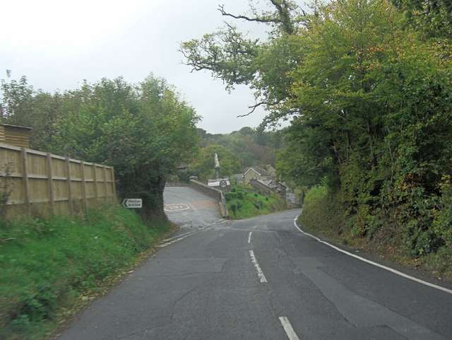
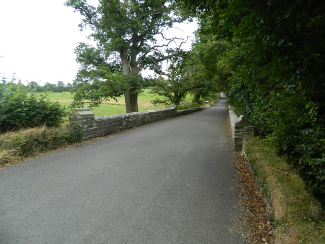
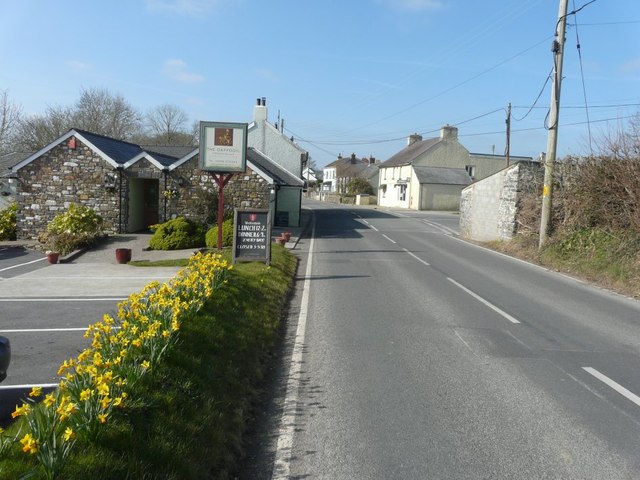
Aber-banc Images

Images are sourced within 2km of 52.050386/-4.398422 or Grid Reference SN3541. Thanks to Geograph Open Source API. All images are credited.

The 11:30 express is about to depart
The Daffodil from its car park
A475 and B4334 junction The A475 takes an extraordinary sidestep in Aber-banc to facilitate crossing the steep sided valley of Afon Cynllo. The road's situation is complicated by its junction with the B4334. It's a case where less velocity for the velocipede is better than more!
A475 and B4334 junction
The A475 takes an extraordinary sidestep in Aber-banc to facilitate crossing the steep sided valley of Afon Cynllo. The road's situation is complicated by its junction with the B4334. It's a case where less velocity for the velocipede is better than more!
Road bridge across the Teifi, Henllan
Aber-banc, junction of B4334 and A475
Bridge over the Nant Gwylan, on the B4334
The Nant Gwylan near Aber-banc
1892 GWR 35629 (marked 35829) Tunnel Brake Van, Teifi Valley Railway, Henllan Station Converted for working in Severn Tunnel (verandah enclosed) in 1949. Arrived at Gwili Railway and then to Teifi Valley. In private ownership.
1892 GWR 35629 (marked 35829) Tunnel Brake Van, Teifi Valley Railway, Henllan Station
Converted for working in Severn Tunnel (verandah enclosed) in 1949. Arrived at Gwili Railway and then to Teifi Valley. In private ownership.
The A475 through Penrhiw-llan With The Daffodil public house and restaurant immediately on the left and in the distance, on the right, the former post office stores, which had a notice in the window that it had closed the previous November.
The A475 through Penrhiw-llan
With The Daffodil public house and restaurant immediately on the left and in the distance, on the right, the former post office stores, which had a notice in the window that it had closed the previous November.
Looking west-southwest along the A475 Just before it begins a steep descent.
Looking west-southwest along the A475
Just before it begins a steep descent.
Churn Stand
Churn Stand
Ordnance Survey Cut Mark This OS cut mark can be found on the NW buttress of the railway bridge. It marks a point 48.961m above mean sea level.
Ordnance Survey Cut Mark
This OS cut mark can be found on the NW buttress of the railway bridge. It marks a point 48.961m above mean sea level.
Ordnance Survey Cut Mark This OS cut mark can be found on the NW parapet of the railway bridge. It marks a point 61.254m above mean sea level.
Ordnance Survey Cut Mark
This OS cut mark can be found on the NW parapet of the railway bridge. It marks a point 61.254m above mean sea level.
Ordnance Survey Cut Mark This OS cut mark can be found on the NW parapet of the bridge. It marks a point 52.629m above mean sea level.
Ordnance Survey Cut Mark
This OS cut mark can be found on the NW parapet of the bridge. It marks a point 52.629m above mean sea level.
Ordnance Survey Cut Mark This OS cut mark can be found on the Henllan Fall PH. It marks a point 63.483m above mean sea level.
Ordnance Survey Cut Mark
This OS cut mark can be found on the Henllan Fall PH. It marks a point 63.483m above mean sea level.
Ordnance Survey Rivet This OS rivet can be found on the NE parapet of Pont Henllan. It marks a point 40.608m above mean sea level.
Ordnance Survey Rivet
This OS rivet can be found on the NE parapet of Pont Henllan. It marks a point 40.608m above mean sea level.
A475 in Penrhywllan
A475 in Penrhywllan
A475 at Aberbanc village boundary
Show me another place!

Aber-banc is located at Grid Ref: SN3541 (Lat: 52.050386, Lng: -4.398422)

Unitary Authority: Ceredigion

Police Authority: Dyfed Powys

What 3 Words

///destined.visions.lyricist. Near Newcastle Emlyn, Ceredigion

Nearby Locations

Aber-banc

Related Wikis

Related Videos

Henllan Bridge April '23

Short walk at Henllan Bridge.

28 July 2021

drone footage near Newcastle Emlyn. dji mavic 2.

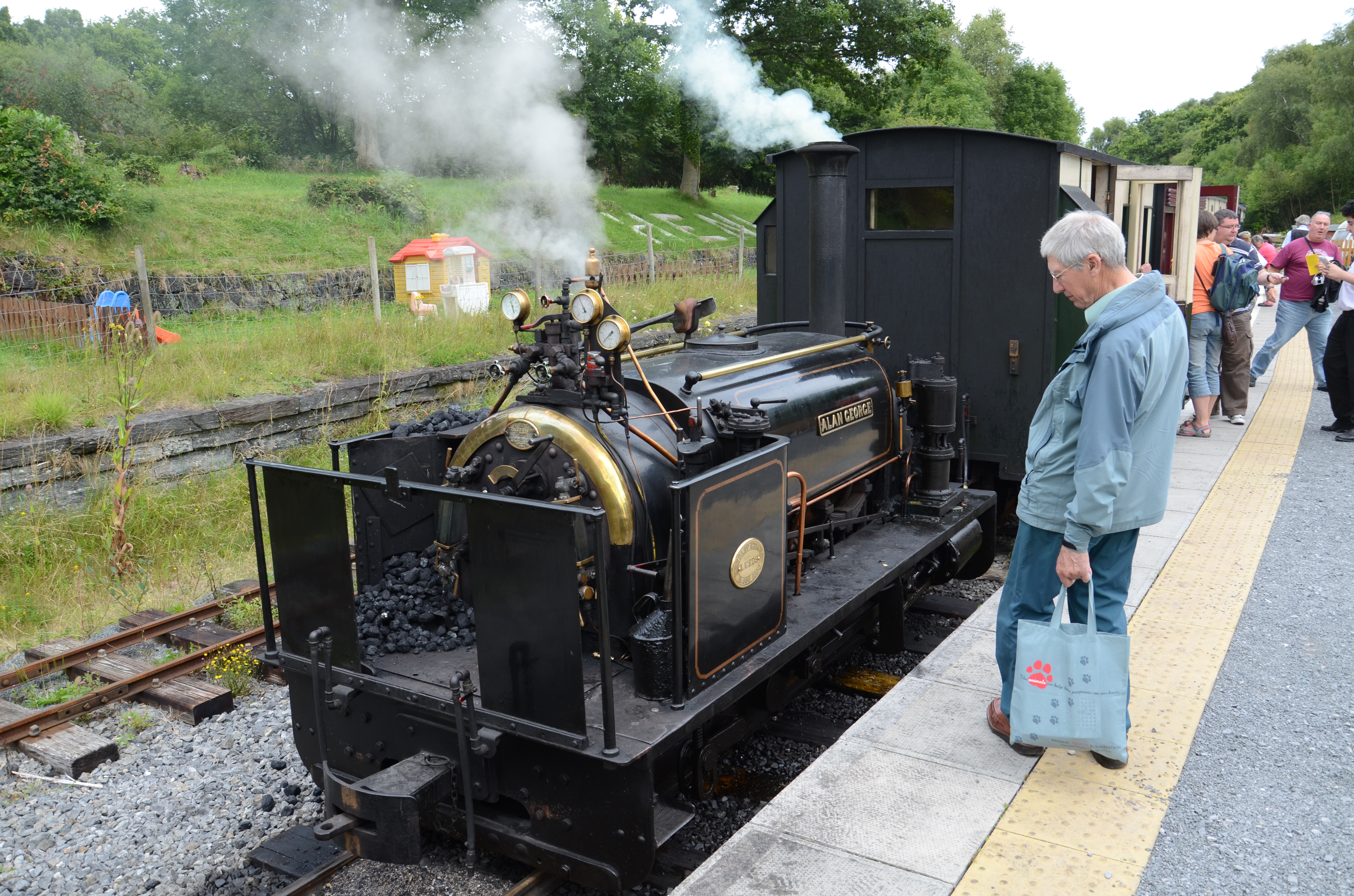
Teifi Valley Railway, Rheilffordd Dyffryn Teifi, Narrow Gauge, Schmalspur, Heritage, Museumsbahn

Great day out at the Teifi Valley Railway - Narrow Gauge Heritage Railway in Wales, Henllan, between Lampeter and Newcastle ...

Nearby Amenities

Located within 500m of 52.050386,-4.398422
Aber-banc
Place: hamlet
Wikidata: Q3401577
Wikipedia: en:Aberbanc
Lat/Long: 52.0504052/-4.39922
Pencnwcau
Is In: Aber-banc
Place: locality
Lat/Long: 52.0487873/-4.3991678
Penrhiw
Is In: Aber-banc
Place: locality
Lat/Long: 52.0480483/-4.4014959
Direction: 255
Generator Method: photovoltaic
Generator Output Electricity: yes
Generator Solar Modules: 8
Generator Source: solar
Generator Type: solar_photovoltaic_panel
Location: roof
Power: generator
Lat/Long: 52.0480258/-4.3960501
Direction: 75
Generator Method: photovoltaic
Generator Output Electricity: yes
Generator Solar Modules: 6
Generator Source: solar
Generator Type: solar_photovoltaic_panel
Location: roof
Power: generator
Lat/Long: 52.048034/-4.3959957
Direction: SSE
Generator Method: photovoltaic
Generator Output Electricity: yes
Generator Solar Modules: 12
Generator Source: solar
Generator Type: solar_photovoltaic_panel
Location: roof
Power: generator
Lat/Long: 52.0479437/-4.4041356
Direction: 255
Generator Method: photovoltaic
Generator Output Electricity: yes
Generator Solar Modules: 20
Generator Source: solar
Generator Type: solar_photovoltaic_panel
Location: roof
Power: generator
Lat/Long: 52.05174/-4.3939046
The data included in this document is from www.openstreetmap.org. The data is made available under ODbL.

Have you been to Aber-banc?

Leave your review of Aber-banc below (or comments, questions and feedback).