Calmsden

Settlement in Gloucestershire Cotswold

England

Calmsden

Track to the cottage at Ashwell Lodge.
Track to the cottage at Ashwell Lodge. Credit: Jonathan Billinger

Calmsden is a small village located in the county of Gloucestershire, England. Situated in the picturesque Cotswolds region, it is surrounded by rolling hills and lush green countryside. The village is part of the Cotswold District and falls within the administrative area of Gloucestershire.

Calmsden is known for its peaceful and idyllic setting, with charming cottages and traditional stone-built houses lining its narrow streets. The village has a small population, contributing to its close-knit community feel. Residents enjoy a quiet and tranquil lifestyle, away from the hustle and bustle of larger towns and cities.

Despite its small size, Calmsden is rich in natural beauty and offers plenty of opportunities for outdoor activities. The surrounding countryside provides an ideal setting for hiking, cycling, and horseback riding, with numerous trails and pathways to explore. The village is also located near several nature reserves and parks, allowing residents and visitors to appreciate the diverse flora and fauna of the area.

While Calmsden itself does not have many amenities, the nearby towns of Cirencester and Cheltenham offer a range of services, including shopping centers, restaurants, and cultural attractions. The village benefits from its proximity to these larger towns, allowing residents to enjoy a peaceful rural lifestyle while still having access to urban conveniences.

In summary, Calmsden is a charming village nestled in the Cotswolds, offering a tranquil atmosphere and stunning natural surroundings. It is an ideal place for those seeking a peaceful countryside retreat, while still being within reach of larger towns and cities.

If you have any feedback on the listing, please let us know in the comments section below.
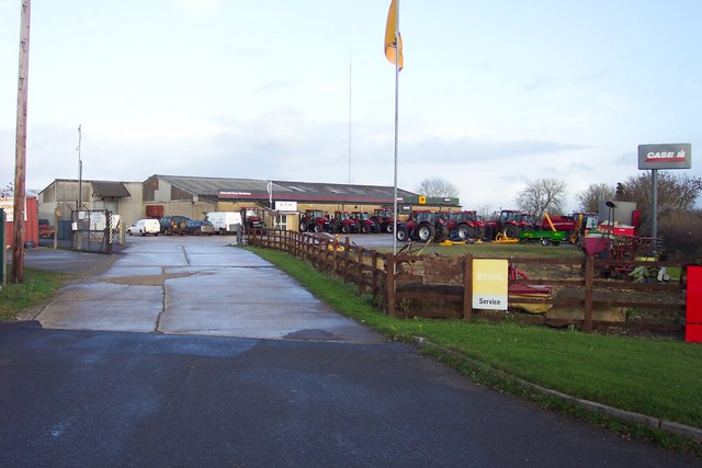
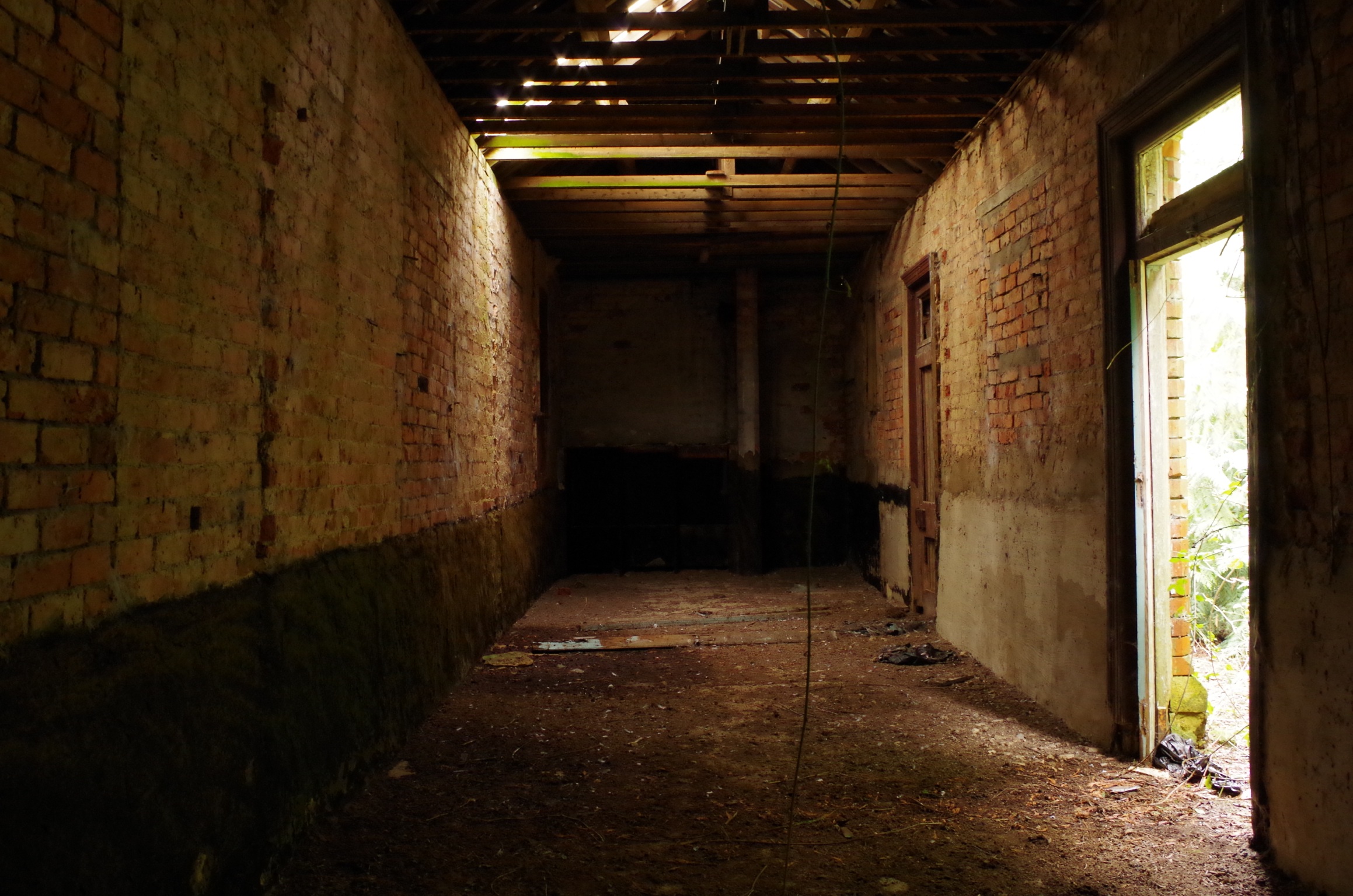
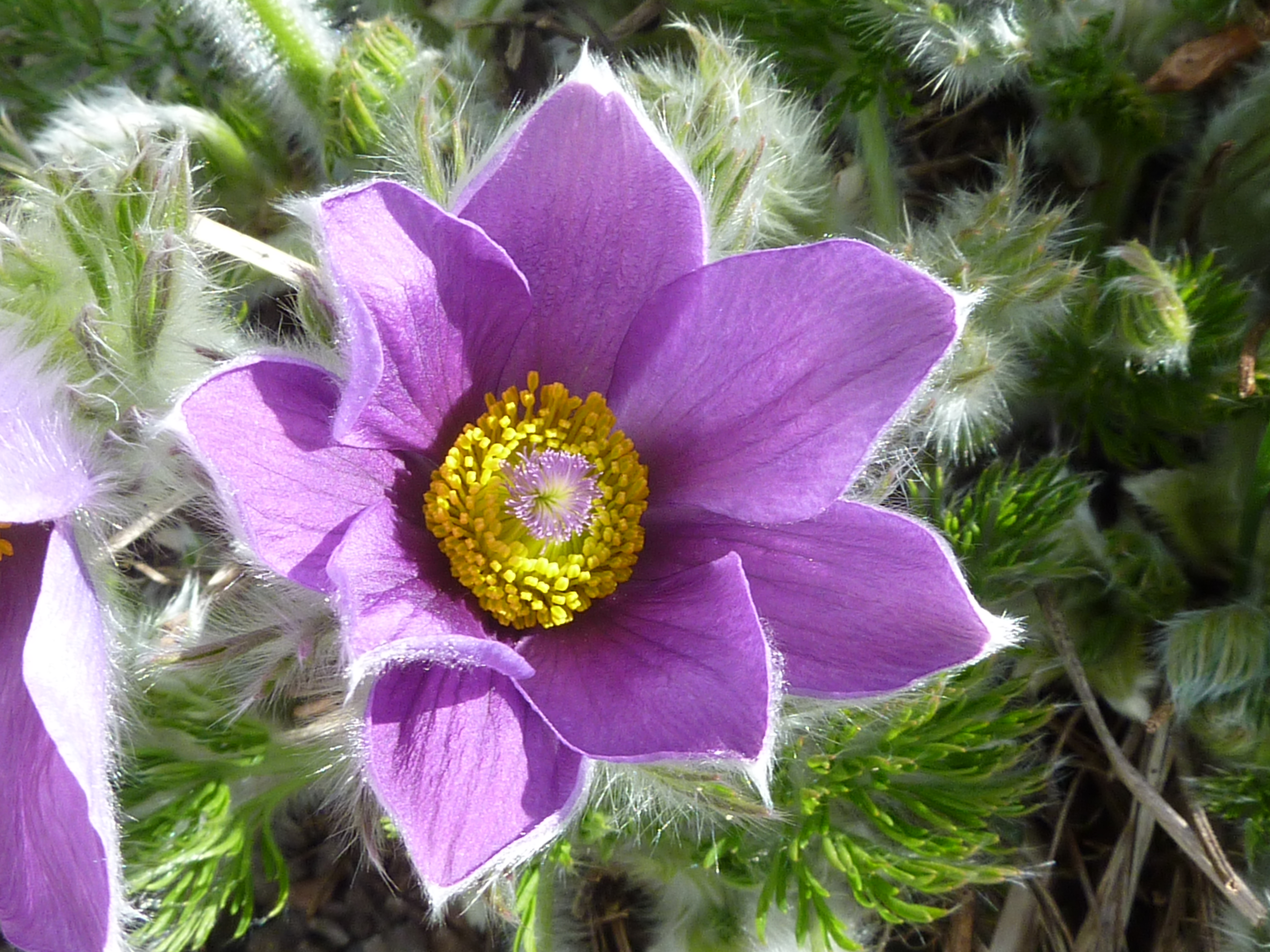
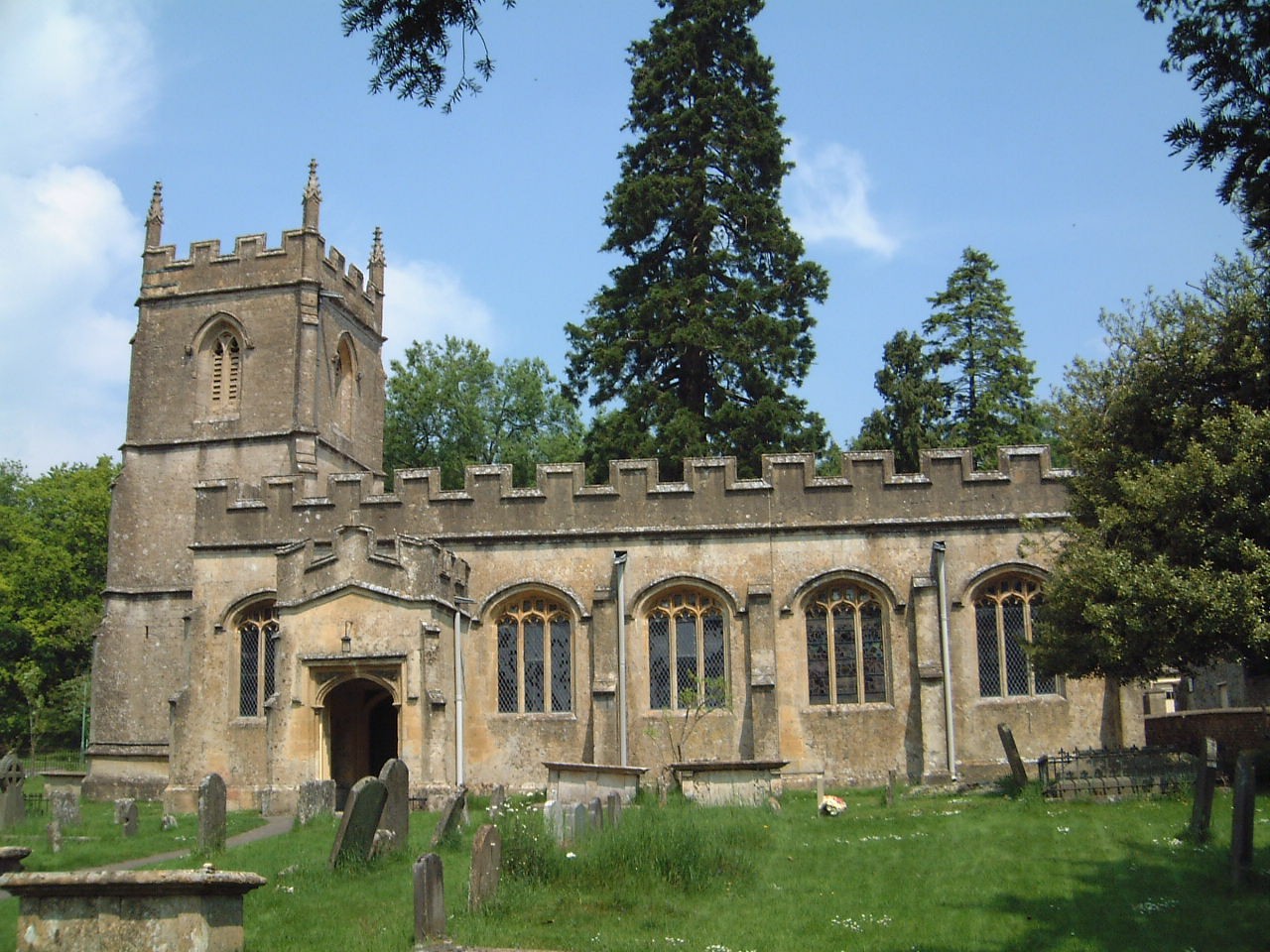
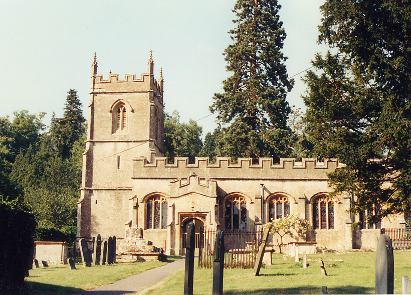
Calmsden Images

Images are sourced within 2km of 51.777355/-1.933148 or Grid Reference SP0408. Thanks to Geograph Open Source API. All images are credited.

Track to the cottage at Ashwell Lodge.
Road between Calmsden and Pinkwell Looking northward.
Road between Calmsden and Pinkwell
Looking northward.
Rendcomb Airfield Rendcomb airfield, looking east from the White Way. This grass strip was opened in 1914 and only used during WW1. The airfield was a training base with up to 3000 people being billeted there.
Rendcomb Airfield
Rendcomb airfield, looking east from the White Way. This grass strip was opened in 1914 and only used during WW1. The airfield was a training base with up to 3000 people being billeted there.
Old Railway track near Foss Cross This is the old line on the M&SWJ from Cirencester to Andoversford.
Old Railway track near Foss Cross
This is the old line on the M&SWJ from Cirencester to Andoversford.
A Cotswolds field edge Water trough not currently needed in the arable setting.
A Cotswolds field edge
Water trough not currently needed in the arable setting.
Farm machinery dealership in the Cotswolds. Large fields need large tractors.
Farm machinery dealership in the Cotswolds.
Large fields need large tractors.
Pet crematorium and mobile phone mast. Adjacent to a refuse tip and recycling centre.
Pet crematorium and mobile phone mast.
Adjacent to a refuse tip and recycling centre.
Ancient cross in the hamlet of Calmsden.
Cirencester Barn. near Calmsden. Currently being converted to housing.
Cirencester Barn. near Calmsden.
Currently being converted to housing.
Barns at Nordown Farm
Speed on the Fosse Way Are these operatives installing a new camera? A429 Fosse Way north of Cirencester.
Speed on the Fosse Way
Are these operatives installing a new camera? A429 Fosse Way north of Cirencester.
Hollow Fosse Farm Also, if you can survive that long, The Hare And Hounds Inn is only 900 of your British yards further on!
Hollow Fosse Farm
Also, if you can survive that long, The Hare And Hounds Inn is only 900 of your British yards further on!
Mount Pleasant On the A429 Fosse Way
Mount Pleasant
On the A429 Fosse Way
Trackbed of former M&SWJ Railway near Calmsden The old Midland and South Western Junction Railway ran between Cheltenham and Andover from the late 19th century until 1961 when it closed. From 1923 it was part of the Great Western Railway then British Railways. Now it is a private road to a few commercial premises.
Trackbed of former M&SWJ Railway near Calmsden
The old Midland and South Western Junction Railway ran between Cheltenham and Andover from the late 19th century until 1961 when it closed. From 1923 it was part of the Great Western Railway then British Railways. Now it is a private road to a few commercial premises.
The road to Calmsden from Fosse Cross The view is to the west in the direction of Calmsden. The car in the background is at the viewpoint in this image <a href="https://www.geograph.org.uk/photo/642738">SP0509 : Trackbed of former M&SWJ Railway near Calmsden</a>
The road to Calmsden from Fosse Cross
The view is to the west in the direction of Calmsden. The car in the background is at the viewpoint in this image SP0509 : Trackbed of former M&SWJ Railway near Calmsden
Trackbed of former Midland and South Western Junction Railway near Calmsden This is broadly the same as this image <a href="https://www.geograph.org.uk/photo/642738">SP0509 : Trackbed of former M&SWJ Railway near Calmsden</a> but without the distraction of the gate.
Trackbed of former Midland and South Western Junction Railway near Calmsden
This is broadly the same as this image SP0509 : Trackbed of former M&SWJ Railway near Calmsden but without the distraction of the gate.
Road junction in Calmsden Head straight on for Calmsden, turn left for Fossebridge via Foss Cross.
Road junction in Calmsden
Head straight on for Calmsden, turn left for Fossebridge via Foss Cross.
Stunt flying over Rendcomb Airfield
Show me another place!

Calmsden is located at Grid Ref: SP0408 (Lat: 51.777355, Lng: -1.933148)

Administrative County: Gloucestershire

District: Cotswold

Police Authority: Gloucestershire

What 3 Words

///detergent.farmland.thread. Near Stratton, Gloucestershire

Nearby Locations

Calmsden

Related Wikis

Nearby Amenities

Located within 500m of 51.777355,-1.933148
Calmsden
Created By: Potlatch 0.10b
Place: village
Source: NPE
Lat/Long: 51.7771258/-1.936211
Bus Stop
Cross
Bus: yes
Naptan AtcoCode: 1600GL873
Naptan Bearing: NE
Naptan CommonName: Cross
Naptan NaptanCode: glogapaj
Naptan Street: Main Street
Naptan Verified: no
Public Transport: platform
Source: naptan_import
Lat/Long: 51.7765186/-1.9351229
Bus Stop
Cross
Bus: yes
Naptan AtcoCode: 1600GL874
Naptan Bearing: SW
Naptan CommonName: Cross
Naptan Crossing: Opp
Naptan NaptanCode: glogapam
Naptan Street: Main Street
Naptan Verified: no
Public Transport: platform
Source: naptan_import
Lat/Long: 51.7764197/-1.935094
The data included in this document is from www.openstreetmap.org. The data is made available under ODbL.

Have you been to Calmsden?

Leave your review of Calmsden below (or comments, questions and feedback).