Am Fasach
Wood, Forest in Argyllshire
Scotland
Am Fasach
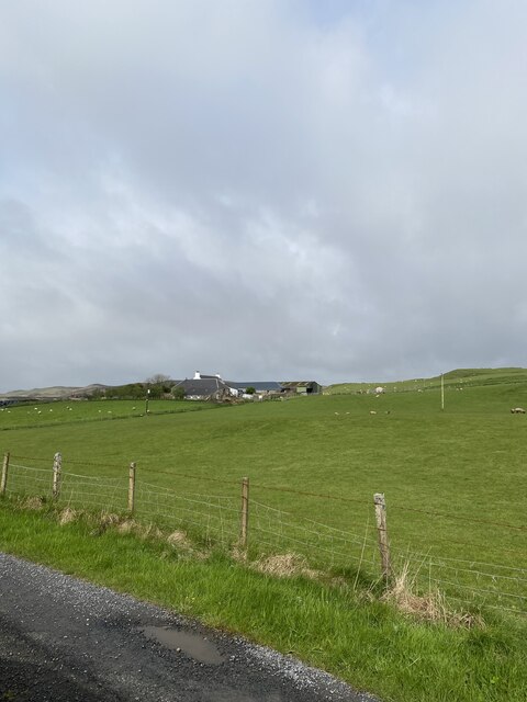
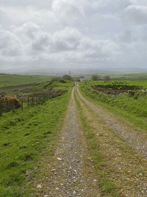
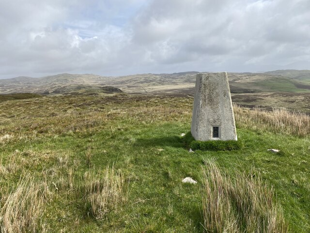
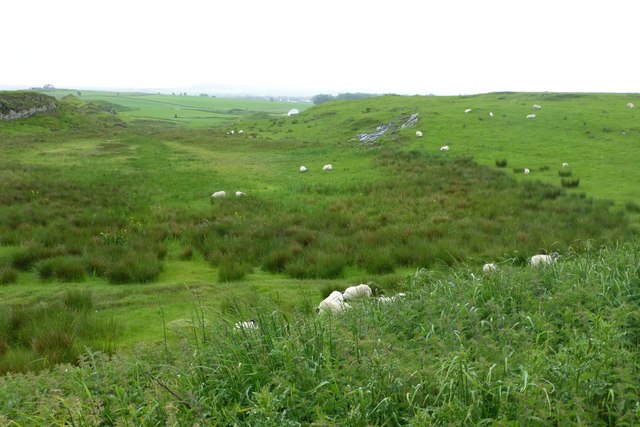
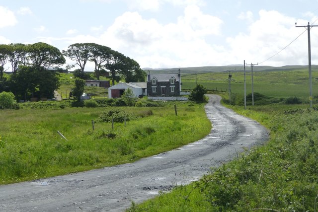
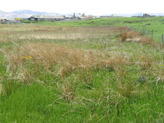
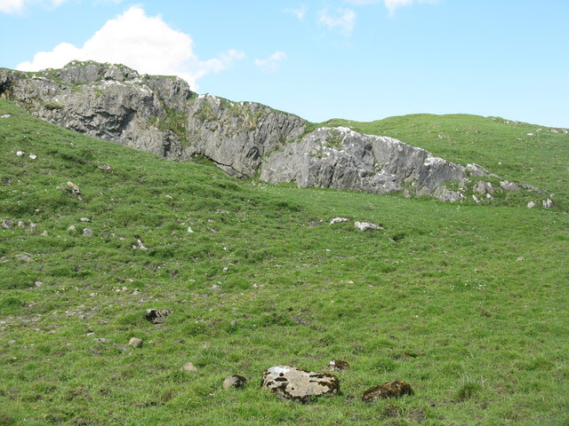
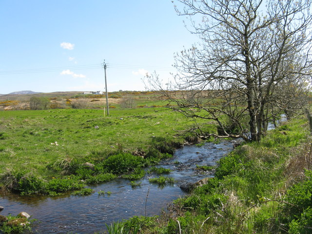
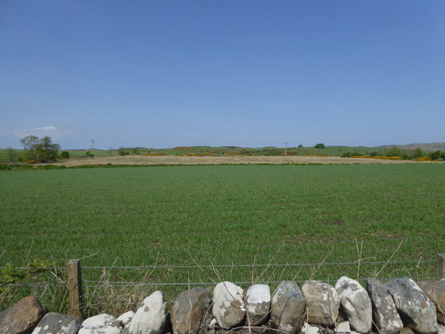
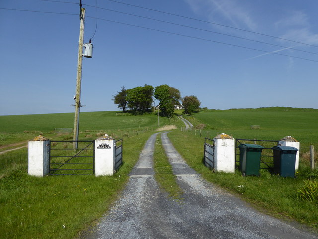
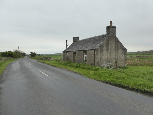
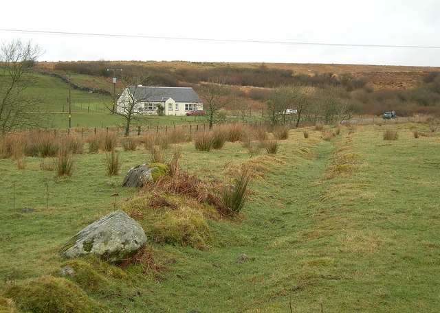
Am Fasach is a captivating woodland located in Argyllshire, Scotland. Covering a vast area, it is nestled amidst the stunning natural beauty of the Scottish Highlands. The woodland is characterized by its lush greenery, towering trees, and diverse flora and fauna.
Am Fasach is renowned for its enchanting atmosphere, offering a serene and peaceful retreat for nature lovers and outdoor enthusiasts. The woodland provides a home to a wide array of wildlife, including red deer, foxes, and various bird species. Visitors may have the opportunity to spot these animals in their natural habitat while exploring the woodland.
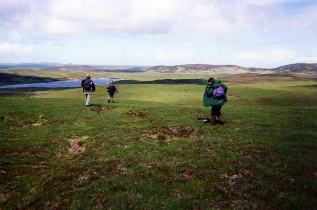
Traversing through the woodland, visitors will find well-maintained hiking trails that meander through the dense forest. These trails cater to different levels of difficulty, providing options for both novice and experienced hikers. The trails lead to breathtaking viewpoints that offer panoramic vistas of the surrounding countryside.
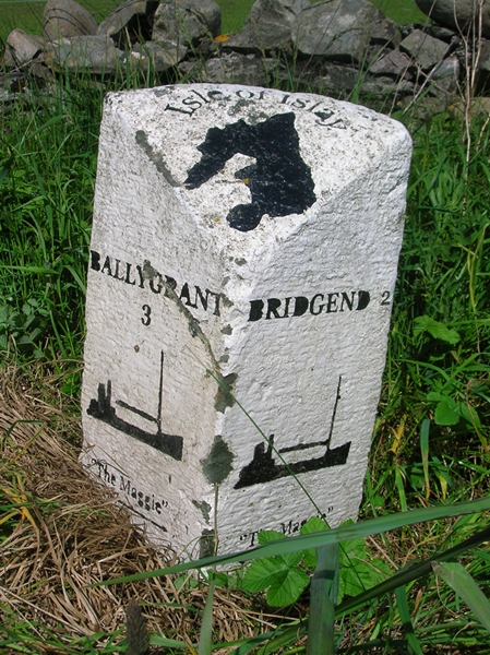
Am Fasach also boasts a rich historical and cultural heritage. Within the woodland, there are remnants of ancient ruins, such as stone circles and burial mounds, which provide a glimpse into the area's past. Exploring these archaeological sites adds an extra layer of fascination to the woodland experience.
For those seeking a tranquil escape from the hustle and bustle of everyday life, Am Fasach in Argyllshire offers a haven of natural beauty and tranquility. Whether it be hiking, wildlife spotting, or simply immersing oneself in the peaceful ambiance, Am Fasach promises a memorable and rejuvenating experience for all who venture into its embrace.
If you have any feedback on the listing, please let us know in the comments section below.
Am Fasach Images
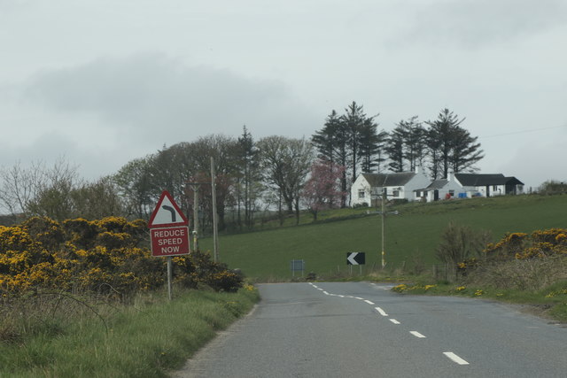
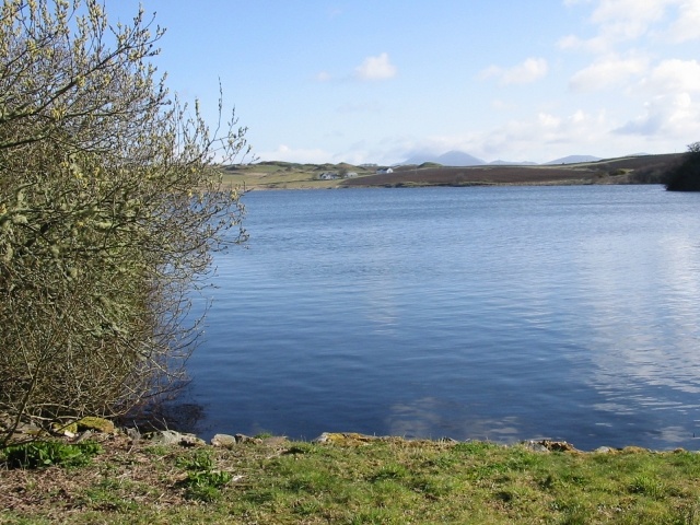
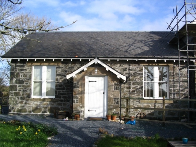
Images are sourced within 2km of 55.813558/-6.2286236 or Grid Reference NR3565. Thanks to Geograph Open Source API. All images are credited.

Am Fasach is located at Grid Ref: NR3565 (Lat: 55.813558, Lng: -6.2286236)
Unitary Authority: Argyll and Bute
Police Authority: Argyll and West Dunbartonshire
What 3 Words
///against.voltage.lollipop. Near Bridgend, Argyll & Bute
Nearby Locations
Related Wikis
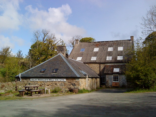
Islay Woollen Mill
Islay Woollen Mill is a Category A listed mill building near the Scottish village of Bridgend, Islay, Argyll and Bute. == History and architecture == The...

Dun Bhruichlinn
Dun Bhruichlinn is an Iron Age fort south of Esknish, Islay, Scotland. The fort, or dun is circular with an internal diameter of 16 metres and the walls...

Islay House
Islay House is a Category A listed country house near Bridgend, Islay in the county of Argyll, in western Scotland on the shores of Loch Indaal. ��2�...

Dun Guaidhre
Dun Guaidhre, also known as Dùn Ghùaidhre, is an Iron Age fort southwest of Kilmeny, Islay, Scotland. It is protected as a scheduled monument.Local tradition...
Nearby Amenities
Located within 500m of 55.813558,-6.2286236Have you been to Am Fasach?
Leave your review of Am Fasach below (or comments, questions and feedback).