South Skerrols Plantation
Wood, Forest in Argyllshire
Scotland
South Skerrols Plantation
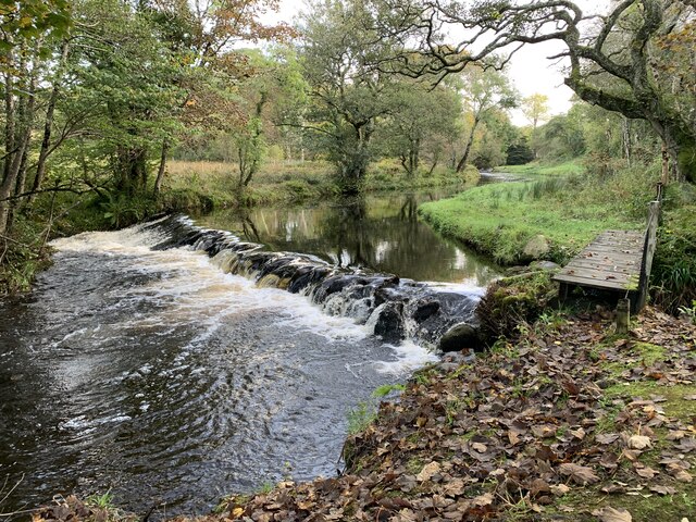
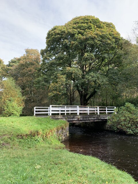
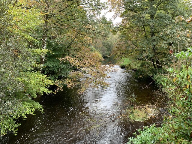
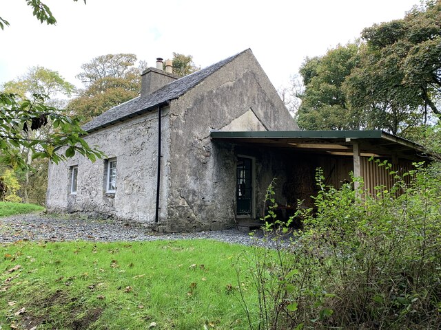
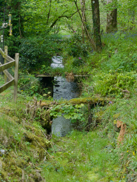
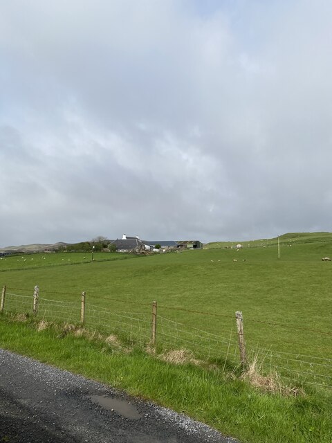
South Skerrols Plantation is a picturesque woodland located in Argyllshire, Scotland. Situated in a remote and tranquil area, this expansive forest covers an area of approximately 300 acres. The plantation is nestled amidst the stunning landscape of rolling hills, with the Crinan Canal winding its way nearby.
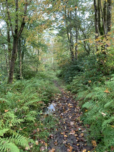
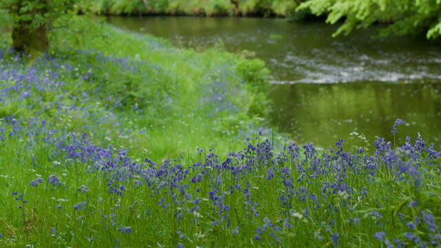
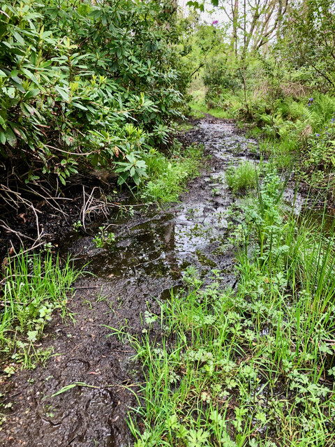
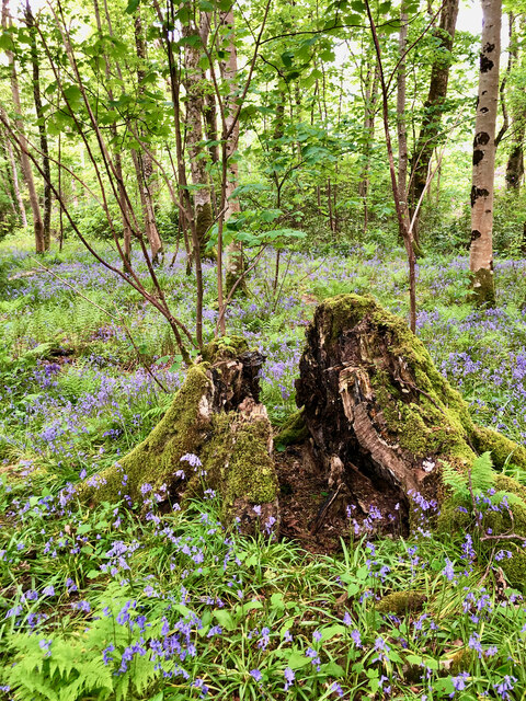
This woodland is primarily composed of native tree species, including oak, birch, and ash, which create a diverse and vibrant ecosystem. The dense canopy provides a haven for a wide variety of flora and fauna, making it an attractive destination for nature enthusiasts and wildlife lovers.
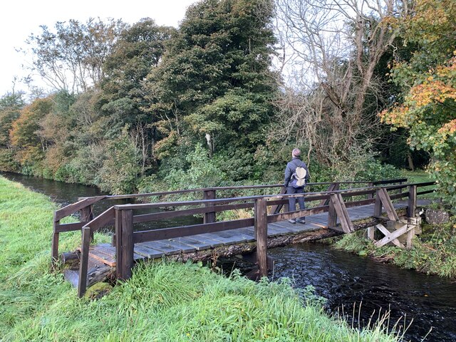
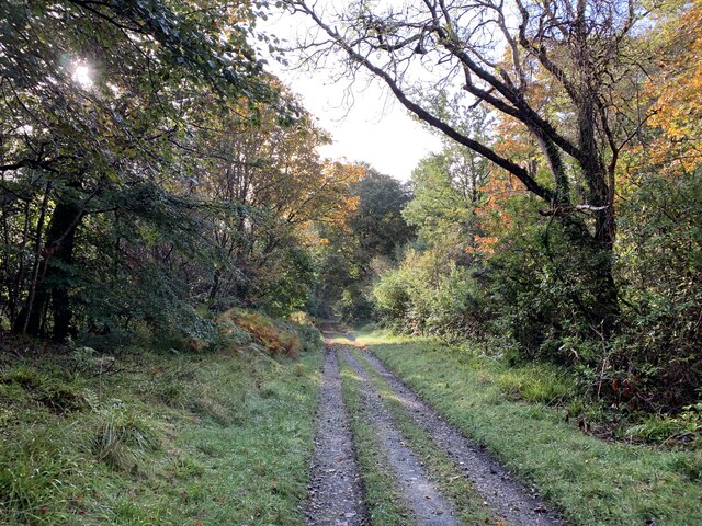
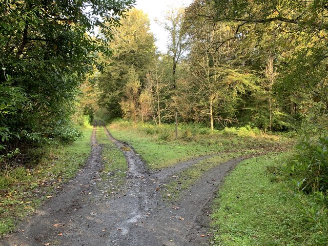
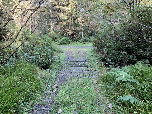
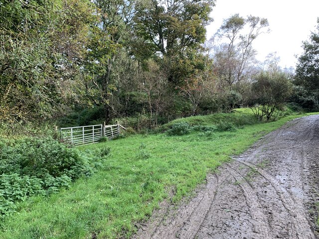
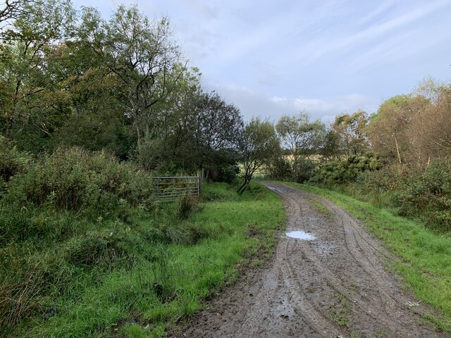
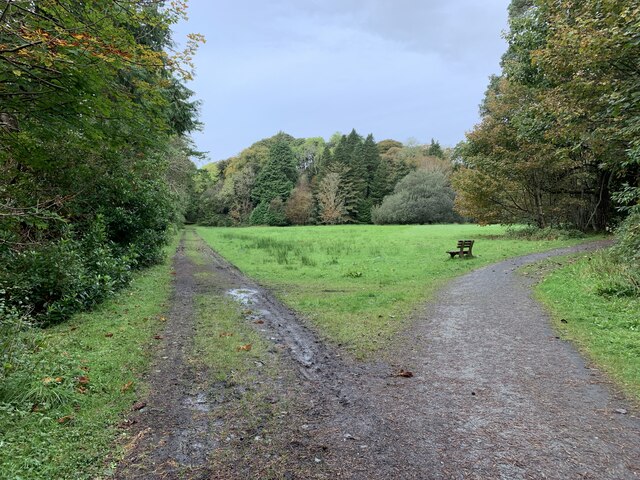
Walking through South Skerrols Plantation, visitors are greeted by a well-maintained network of paths and trails, allowing for easy exploration of the area. These paths offer a range of difficulty levels, catering to both casual walkers and experienced hikers. The plantation also features picnic areas and benches, providing opportunities for visitors to relax and enjoy the peaceful surroundings.
The forest is home to an abundance of wildlife, including red squirrels, roe deer, and a variety of bird species. Birdwatchers can catch glimpses of species such as woodpeckers, owls, and buzzards. The plantation's management actively promotes biodiversity, ensuring that the habitat remains healthy and sustainable.
South Skerrols Plantation is a popular destination for outdoor activities such as hiking, birdwatching, and photography. Its scenic beauty and peaceful atmosphere make it an ideal spot for those seeking solace in nature. Whether one is looking for a leisurely stroll or an immersive woodland experience, this enchanting forest in Argyllshire offers a memorable and rejuvenating experience for all.
If you have any feedback on the listing, please let us know in the comments section below.
South Skerrols Plantation Images
Images are sourced within 2km of 55.792316/-6.23952 or Grid Reference NR3463. Thanks to Geograph Open Source API. All images are credited.
South Skerrols Plantation is located at Grid Ref: NR3463 (Lat: 55.792316, Lng: -6.23952)
Unitary Authority: Argyll and Bute
Police Authority: Argyll and West Dunbartonshire
What 3 Words
///raced.costumed.goggles. Near Bridgend, Argyll & Bute
Nearby Locations
Related Wikis
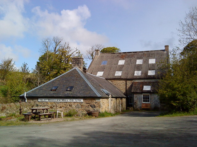
Islay Woollen Mill
Islay Woollen Mill is a Category A listed mill building near the Scottish village of Bridgend, Islay, Argyll and Bute. == History and architecture == The...

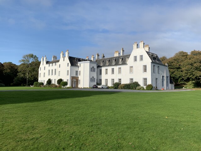
Islay House
Islay House is a Category A listed country house near Bridgend, Islay in the county of Argyll, in western Scotland on the shores of Loch Indaal. ��2�...

Bridgend, Islay
Bridgend (Scottish Gaelic: Beul an Àtha) is a village on the Inner Hebrides island of Islay off the western coast of Scotland at the tip of Loch Indaal...

Bridgend Flats
Bridgend Flats is an area of mudflats and saltmarsh near the village of Bridgend on the island of Islay off the west coast of Scotland. Covering an area...
Dun Bhruichlinn
Dun Bhruichlinn is an Iron Age fort south of Esknish, Islay, Scotland. The fort, or dun is circular with an internal diameter of 16 metres and the walls...

River Sorn
The River Sorn is a small river on the Scottish island of Islay. Draining Loch Finlaggan and having gathered the waters of the Allt Ruadh and the Ballygrant...
Mulindry House
Mulindry House, also known as Caisteal Mhic Dhomhnuill or Mullintrae House, was a fortified house north of Mulindry Farm, Islay, Scotland. == History... ==

Dun Nosebridge
Dun Nosebridge is an Iron Age fort southeast of Bridgend, Islay, Scotland. The fort is on the right bank of the River Laggan.The name's origin is probably...
Nearby Amenities
Located within 500m of 55.792316,-6.23952Have you been to South Skerrols Plantation?
Leave your review of South Skerrols Plantation below (or comments, questions and feedback).