Eallabus North Plantation
Wood, Forest in Argyllshire
Scotland
Eallabus North Plantation
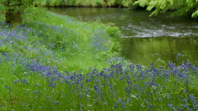
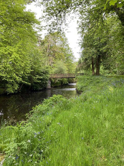
Eallabus North Plantation is a picturesque woodland located in Argyllshire, Scotland. Situated in the heart of the beautiful Argyll Forest Park, this enchanting forest covers an area of approximately 1,000 hectares. The plantation is known for its diverse range of tree species, including conifers such as pine, spruce, and fir, as well as broadleaf trees like oak, birch, and beech.
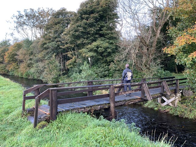
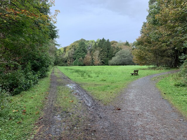
Upon entering Eallabus North Plantation, visitors are greeted by a tranquil atmosphere, with the sounds of birds chirping and the rustling of leaves underfoot. The forest floor is adorned with a carpet of mosses and ferns, creating an ethereal and magical ambiance. The woodland is crisscrossed with well-maintained paths and trails, allowing visitors to explore the area on foot or by bike.
Eallabus North Plantation boasts a rich history, with evidence of human habitation and use dating back centuries. Remnants of ancient settlements, including stone structures and burial sites, can still be found within the woodland, providing an intriguing glimpse into the past.
The plantation offers a haven for wildlife, with a variety of animal species calling it home. Red squirrels, roe deer, and a range of bird species, such as woodpeckers and owls, can often be spotted among the trees. The forest also supports a diverse ecosystem of plants and fungi, adding to its ecological importance.
For nature enthusiasts and outdoor lovers, Eallabus North Plantation is a hidden gem in Argyllshire. Whether one seeks a peaceful stroll, a challenging hike, or simply a place to connect with nature, this woodland provides a truly unforgettable experience.
If you have any feedback on the listing, please let us know in the comments section below.
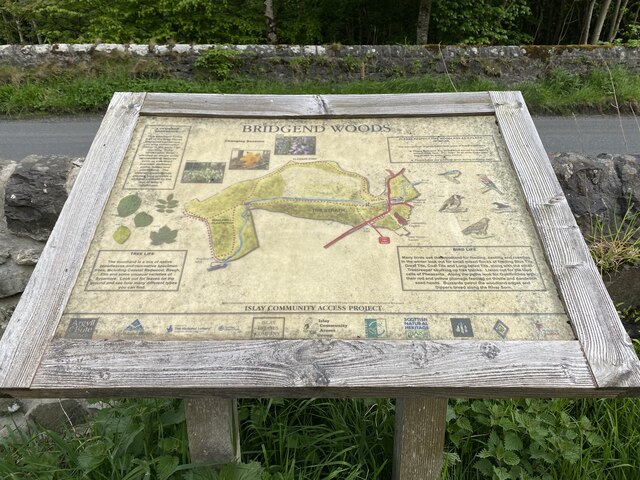
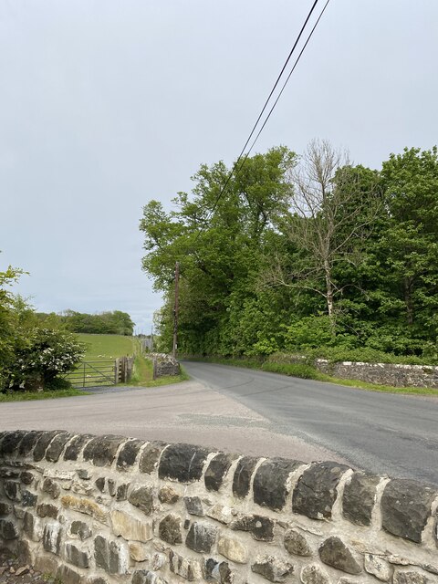
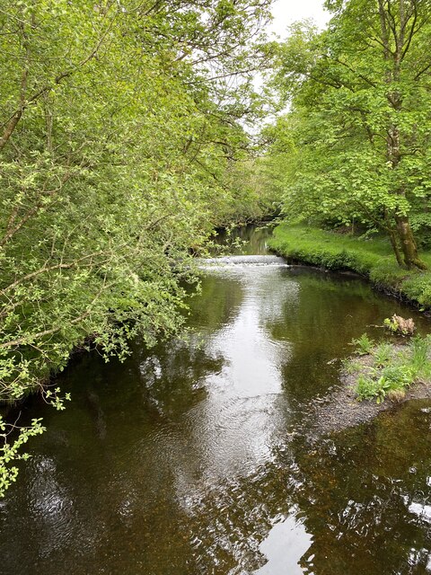
Eallabus North Plantation Images
Images are sourced within 2km of 55.792256/-6.2599635 or Grid Reference NR3363. Thanks to Geograph Open Source API. All images are credited.


Eallabus North Plantation is located at Grid Ref: NR3363 (Lat: 55.792256, Lng: -6.2599635)
Unitary Authority: Argyll and Bute
Police Authority: Argyll and West Dunbartonshire
What 3 Words
///final.received.simulator. Near Bridgend, Argyll & Bute
Related Wikis

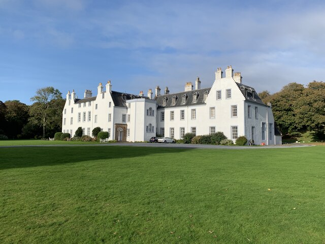
Islay House
Islay House is a Category A listed country house near Bridgend, Islay in the county of Argyll, in western Scotland on the shores of Loch Indaal. ��2�...

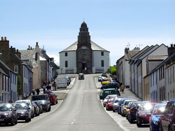
Bridgend, Islay
Bridgend (Scottish Gaelic: Beul an Àtha) is a village on the Inner Hebrides island of Islay off the western coast of Scotland at the tip of Loch Indaal...

Bridgend Flats
Bridgend Flats is an area of mudflats and saltmarsh near the village of Bridgend on the island of Islay off the west coast of Scotland. Covering an area...
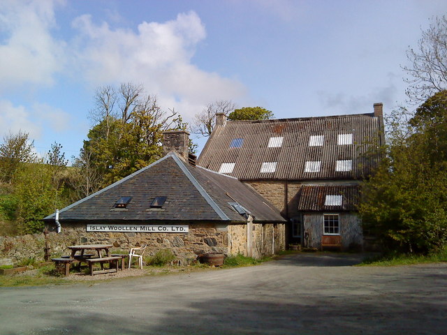
Islay Woollen Mill
Islay Woollen Mill is a Category A listed mill building near the Scottish village of Bridgend, Islay, Argyll and Bute. == History and architecture == The...

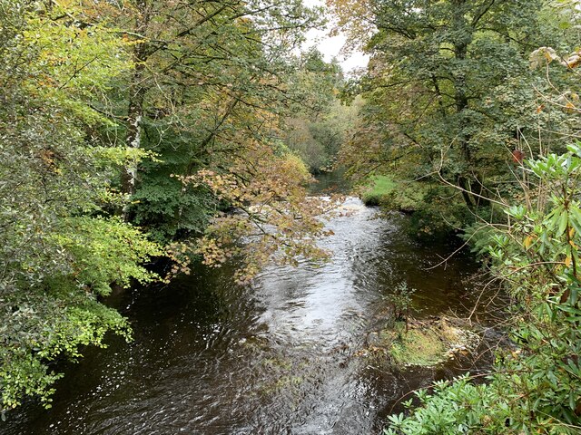
River Sorn
The River Sorn is a small river on the Scottish island of Islay. Draining Loch Finlaggan and having gathered the waters of the Allt Ruadh and the Ballygrant...
Dun Bhruichlinn
Dun Bhruichlinn is an Iron Age fort south of Esknish, Islay, Scotland. The fort, or dun is circular with an internal diameter of 16 metres and the walls...
Islay Hospital
Islay Hospital is a community hospital in Gortanvogie Road, Bowmore, Scotland. It is managed by NHS Highland. == History == The facility has its origins...
Bowmore
Bowmore (Scottish Gaelic: Bogh Mòr, 'Big Bend') is a small town on the Scottish island of Islay. It serves as administrative capital of the island, and...
Nearby Amenities
Located within 500m of 55.792256,-6.2599635Have you been to Eallabus North Plantation?
Leave your review of Eallabus North Plantation below (or comments, questions and feedback).