Coille a' Chnoic Mhòir

Wood, Forest in Argyllshire

Scotland

Coille a' Chnoic Mhòir

Grasdale, The Oa, Islay There are many ruined villages and buildings on the Oa peninsula in south-west Islay. The population of this part of the island in 1830 was around 1500 - there's probably about a tenth of that number now! It is a very poignant experience to wander round this lonely, but beautiful, peninsula and think of times past and yet see the current living world all around which hasn't changed for centuries.
Grasdale, The Oa, Islay Credit: Becky Williamson

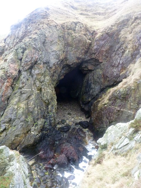
Coille a' Chnoic Mhòir, located in Argyllshire, Scotland, is a stunning woodland area known for its natural beauty and diverse ecosystem. Situated in the western part of the country, this forest is a haven for nature enthusiasts and wildlife lovers.

Covering a vast expanse of land, Coille a' Chnoic Mhòir is characterized by its dense and lush vegetation, consisting of a variety of tree species such as oak, birch, and pine. The forest floor is adorned with a carpet of vibrant mosses, ferns, and wildflowers, creating a picturesque landscape.

The forest is home to a wide array of wildlife, providing a habitat for numerous species. Visitors may spot red deer, roe deer, and even the elusive Scottish wildcat. Birdwatchers will delight in the presence of various bird species, including owls, woodpeckers, and songbirds.

Coille a' Chnoic Mhòir offers visitors a chance to explore its natural wonders through a network of well-maintained walking trails. These trails wind through the forest, taking hikers on a journey through towering trees, babbling brooks, and serene ponds. The peaceful atmosphere and breathtaking scenery make it a popular destination for those seeking tranquility and a connection with nature.

Additionally, the forest serves as an important ecological site, contributing to the preservation of Scotland's natural heritage. Efforts are taken to protect and conserve the forest, ensuring its sustainability for future generations.

Coille a' Chnoic Mhòir is a true gem of Argyllshire, attracting visitors from near and far with its enchanting beauty and rich biodiversity.

If you have any feedback on the listing, please let us know in the comments section below.

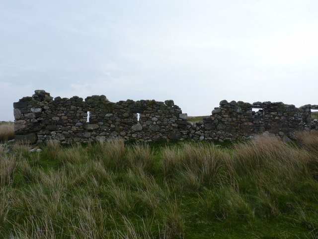
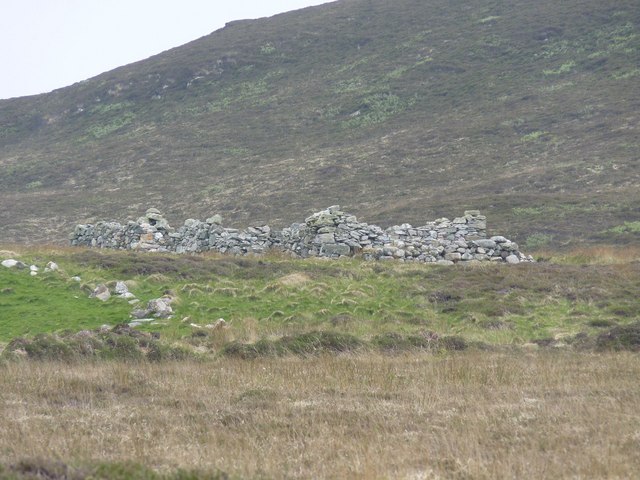
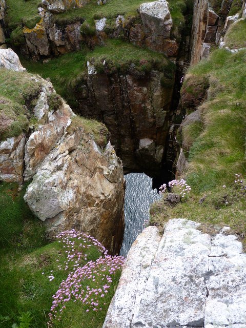
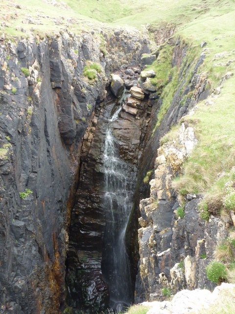
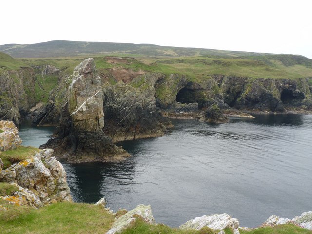
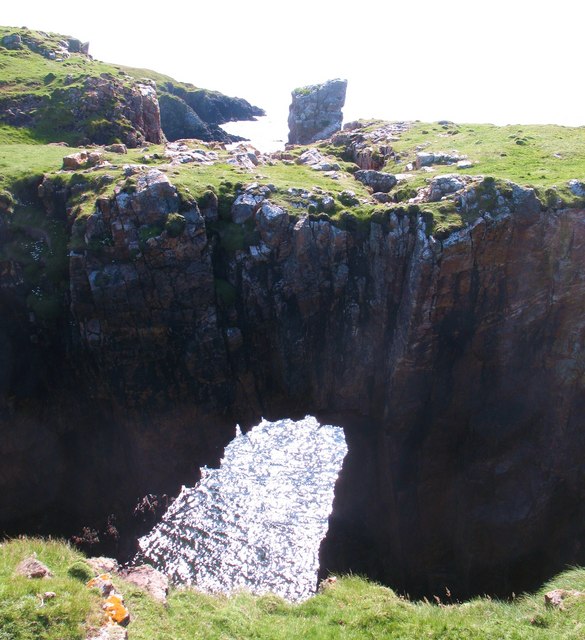
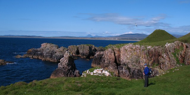
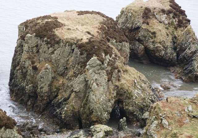
Coille a' Chnoic Mhòir Images

Images are sourced within 2km of 55.645673/-6.2730187 or Grid Reference NR3147. Thanks to Geograph Open Source API. All images are credited.

Grasdale, The Oa, Islay There are many ruined villages and buildings on the Oa peninsula in south-west Islay. The population of this part of the island in 1830 was around 1500 - there's probably about a tenth of that number now! It is a very poignant experience to wander round this lonely, but beautiful, peninsula and think of times past and yet see the current living world all around which hasn't changed for centuries.
Grasdale, The Oa, Islay
There are many ruined villages and buildings on the Oa peninsula in south-west Islay. The population of this part of the island in 1830 was around 1500 - there's probably about a tenth of that number now! It is a very poignant experience to wander round this lonely, but beautiful, peninsula and think of times past and yet see the current living world all around which hasn't changed for centuries.
Disused shieling on the Oa, Islay
Natural Arch near Soldier's Rock, Islay Viewed from above. It is possible to walk across this archway.
Natural Arch near Soldier's Rock, Islay
Viewed from above. It is possible to walk across this archway.
Waterfall near Soldier's Rock, Islay
Soldier's Rock and Caves, The Oa, Islay
Natural arch and Soldier's Rock A fascinating stretch of coast on the north side of the Oa. The stack of Soldier's Roch is seen over the top of the natural arch - one of many around Islay's coastline.
Natural arch and Soldier's Rock
A fascinating stretch of coast on the north side of the Oa. The stack of Soldier's Roch is seen over the top of the natural arch - one of many around Islay's coastline.
North Oa coastline The coastline of the Oa near to Soldier's Rock. The small conical hill in the picture makes a near perfect threesome with the Paps of Jura, which are visible in the distance.
North Oa coastline
The coastline of the Oa near to Soldier's Rock. The small conical hill in the picture makes a near perfect threesome with the Paps of Jura, which are visible in the distance.
Coastal scenery on the Oa The hollow in the foreground will be grassed over raised beach.
Coastal scenery on the Oa
The hollow in the foreground will be grassed over raised beach.
Raised beach - The Oa Partly grassed over raised beach with former sea cliffs and stacks on the north side of The Oa.
Raised beach - The Oa
Partly grassed over raised beach with former sea cliffs and stacks on the north side of The Oa.
Sruthan Poll nan Gamhna Sruthan Poll nan Gamhna a few yards before it tumbles down in its gulley.
(The Oa on Islay).
Sruthan Poll nan Gamhna
Sruthan Poll nan Gamhna a few yards before it tumbles down in its gulley. (The Oa on Islay).
Sruthan Poll nan Gamhna Gulley Sruthan Poll nan Gamhna Gulley & Waterfall, The Oa, Islay.
Sruthan Poll nan Gamhna Gulley
Sruthan Poll nan Gamhna Gulley & Waterfall, The Oa, Islay.
Eilean Tòrrach, The Oa, Islay Tòrrach possibly means 'full of eminences' - it hardly seemed to fit with this low-lying, possibly tidal island. It is quite difficult to access this gridsquare, but not as hard as I thought it might be, given that most of it is under water!
Eilean Tòrrach, The Oa, Islay
Tòrrach possibly means 'full of eminences' - it hardly seemed to fit with this low-lying, possibly tidal island. It is quite difficult to access this gridsquare, but not as hard as I thought it might be, given that most of it is under water!
Rocks at Port Luachrach, Islay Luachrach translates from Gaelic as 'rushy'.
Rocks at Port Luachrach, Islay
Luachrach translates from Gaelic as 'rushy'.
Gully near Soldier's Rock, Islay The rocky coastline is full of inlets, caves and natural arches.
Gully near Soldier's Rock, Islay
The rocky coastline is full of inlets, caves and natural arches.
Cave at Port na Laimhrige, Islay It's more of a natural arch really!
Cave at Port na Laimhrige, Islay
It's more of a natural arch really!
Cave at Slochd an Lomaidh, Islay 'Hollow of the Shearing/Desolation' - both words seem possible, given that this was farming land, but it is also desolate!

There are many caves strewn along this coastline. This particular example is cavernous. I had to scramble up a rocky hillside to get this photo.
Cave at Slochd an Lomaidh, Islay
'Hollow of the Shearing/Desolation' - both words seem possible, given that this was farming land, but it is also desolate! There are many caves strewn along this coastline. This particular example is cavernous. I had to scramble up a rocky hillside to get this photo.
Eilean Tòrrach, The Oa, Islay Looking southwest.
Eilean Tòrrach, The Oa, Islay
Looking southwest.
Looking north-east from Eilean Tòrrach, Islay The snow-capped Paps of Jura are just discernible in the distance.
Looking north-east from Eilean Tòrrach, Islay
The snow-capped Paps of Jura are just discernible in the distance.
Show me another place!

Coille a' Chnoic Mhòir is located at Grid Ref: NR3147 (Lat: 55.645673, Lng: -6.2730187)

Unitary Authority: Argyll and Bute

Police Authority: Argyll and West Dunbartonshire

What 3 Words

///constrain.hits.inkjet. Near Port Ellen, Argyll & Bute

Related Wikis

Machrie golf course

The Machrie Golf Course, or "The Machrie Links", is located on Islay, in Scotland. The word "machrie" is a corruption of the Scottish Gaelic machair, which...

The Oa

The Oa ( OH) (Scottish Gaelic: An Obha) is a rocky peninsula in the southwest of the island of Islay, in Argyll, Scotland. It is an RSPB nature reserve...

Islay Airport

Islay Airport (IATA: ILY, ICAO: EGPI) (also known as Glenegedale Airport) (Scottish Gaelic: Port-adhair Ìle) is located 4.5 nautical miles (8.3 kilometres...

Eas Mòr, upper

Eas Mor is a waterfall is a waterfall on the Abhainn Ghil on the island of Islay in Scotland. It lies on The Oa peninsula south of Giol and west of Lenavore...

Nearby Amenities

Located within 500m of 55.645673,-6.2730187
Source: PGS
Lat/Long: 55.649603/-6.2740443
Ford: yes
Lat/Long: 55.6455443/-6.2682985
The data included in this document is from www.openstreetmap.org. The data is made available under ODbL.

Have you been to Coille a' Chnoic Mhòir?

Leave your review of Coille a' Chnoic Mhòir below (or comments, questions and feedback).