Coill' a' Chùil
Wood, Forest in Argyllshire
Scotland
Coill' a' Chùil
The requested URL returned error: 429 Too Many Requests
If you have any feedback on the listing, please let us know in the comments section below.
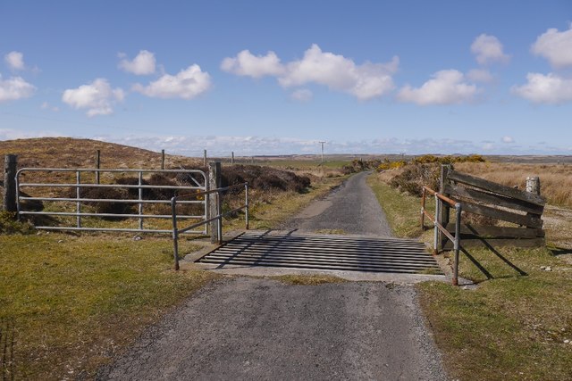
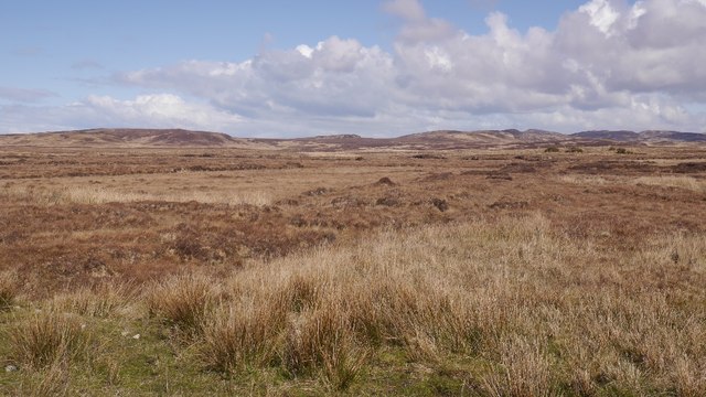
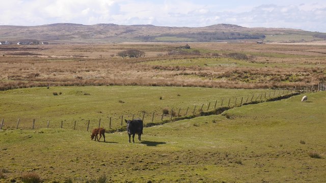
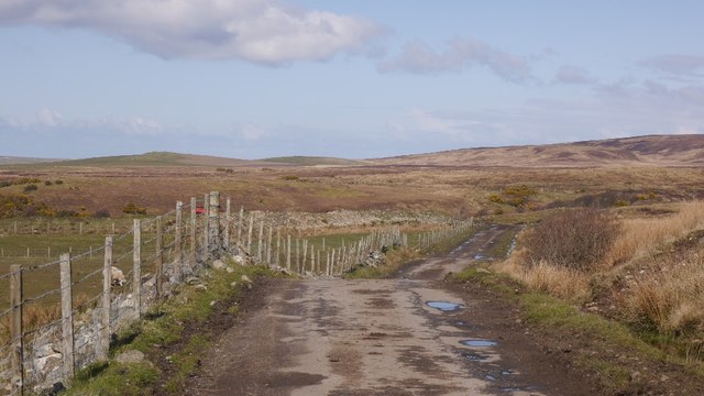
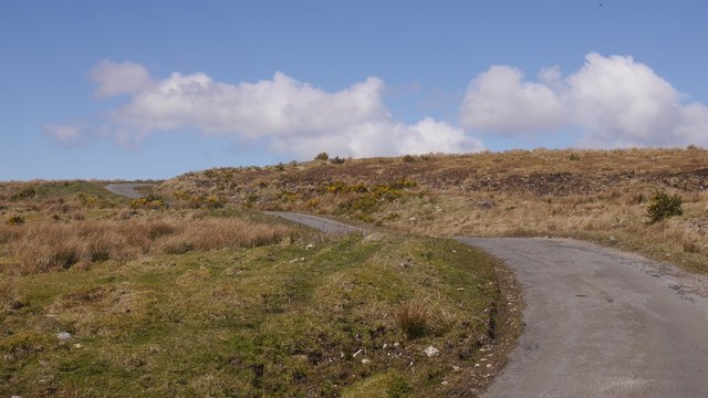
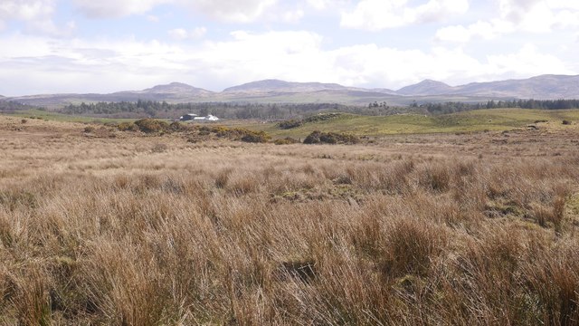
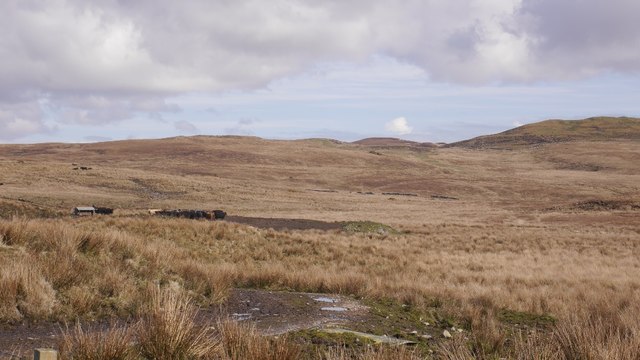
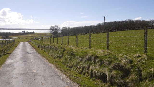
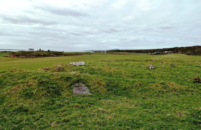
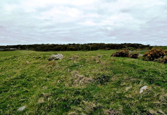
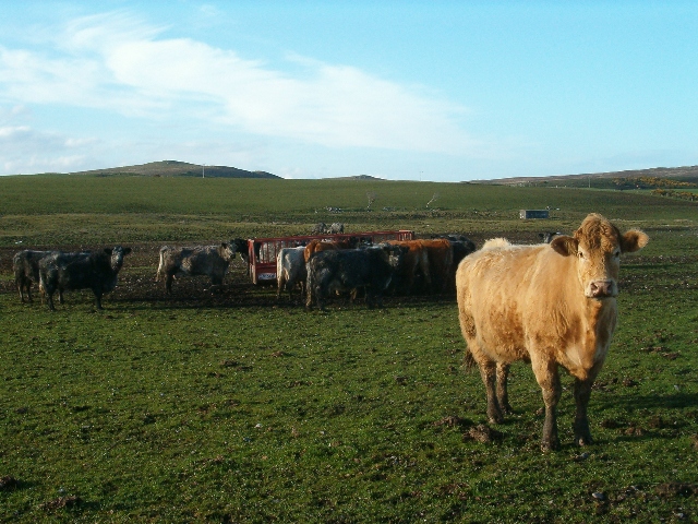
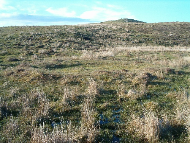
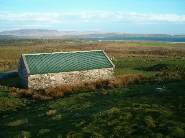
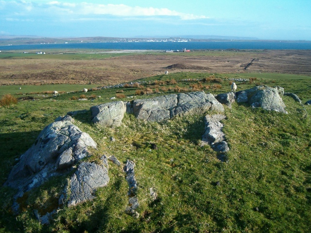
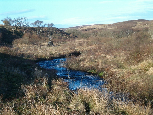
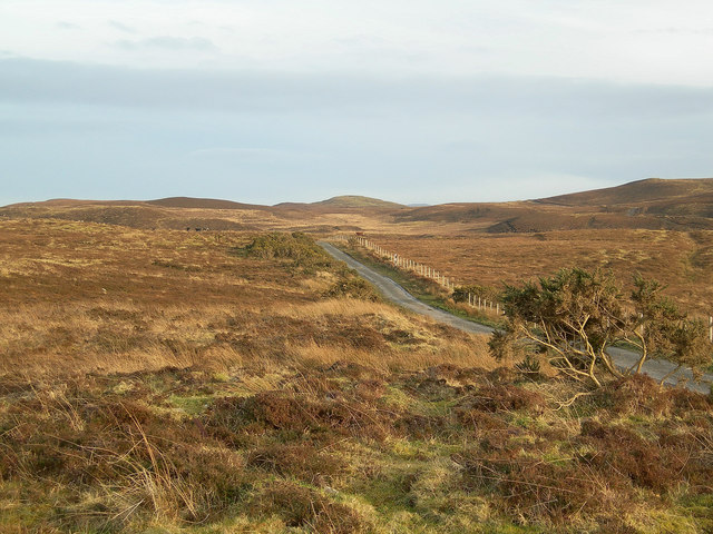
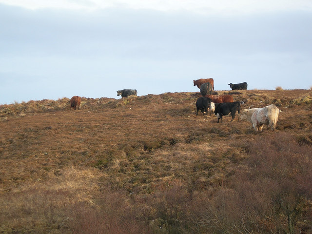
Coill' a' Chùil Images
Images are sourced within 2km of 55.803908/-6.308012 or Grid Reference NR3065. Thanks to Geograph Open Source API. All images are credited.

Coill' a' Chùil is located at Grid Ref: NR3065 (Lat: 55.803908, Lng: -6.308012)
Unitary Authority: Argyll and Bute
Police Authority: Argyll and West Dunbartonshire
What 3 Words
///locator.crossing.barrel. Near Bridgend, Argyll & Bute
Nearby Locations
Related Wikis

Gruinart Flats
The Gruinart Flats is a low-lying landform on the western part of the isle of Islay in Scotland. The locale is an important conservation area, having been...

Battle of Traigh Ghruinneart
The Battle of Traigh Ghruinneart or in Scottish Gaelic Blàr Tràigh Ghruineart or sometimes called the Battle of Gruinart Strand was a Scottish clan battle...

Islay House
Islay House is a Category A listed country house near Bridgend, Islay in the county of Argyll, in western Scotland on the shores of Loch Indaal. ��2�...

Bridgend Flats
Bridgend Flats is an area of mudflats and saltmarsh near the village of Bridgend on the island of Islay off the west coast of Scotland. Covering an area...
Nearby Amenities
Located within 500m of 55.803908,-6.308012Have you been to Coill' a' Chùil?
Leave your review of Coill' a' Chùil below (or comments, questions and feedback).