Coullabus Plantation

Wood, Forest in Argyllshire

Scotland

Coullabus Plantation

Cattlegrid, Torran na Feannaige
Cattlegrid, Torran na Feannaige Credit: Richard Webb

Coullabus Plantation is a picturesque forest located in the county of Argyllshire, Scotland. Encompassing an area of approximately 200 acres, this woodland is renowned for its stunning natural beauty and rich biodiversity. The plantation is situated in the western part of the county, near the small village of Kilchoman.

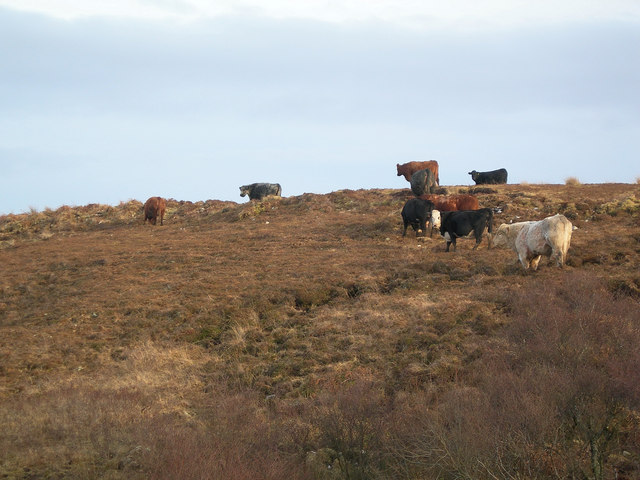
The forest is predominantly composed of native tree species such as oak, birch, and rowan, which create a diverse and vibrant landscape. The dense vegetation provides a haven for various wildlife species, including red deer, roe deer, and numerous bird species.

Visitors to Coullabus Plantation can enjoy a range of recreational activities such as walking, hiking, and birdwatching. The forest boasts an extensive network of well-maintained trails, offering visitors the opportunity to explore the area's natural wonders at their own pace. The trails wind through the woodland, providing stunning views of the surrounding countryside and glimpses of the diverse flora and fauna.

In addition to its natural beauty, Coullabus Plantation also holds historical significance. The area has a rich cultural heritage, with remnants of ancient settlements and archaeological sites scattered throughout the forest. These historical features add an extra layer of intrigue to the woodland, making it an appealing destination for history enthusiasts.

Overall, Coullabus Plantation is a captivating destination for nature lovers and history enthusiasts alike. Its lush forests, diverse wildlife, and cultural heritage make it a must-visit location for anyone seeking a tranquil and immersive outdoor experience in Argyllshire.

If you have any feedback on the listing, please let us know in the comments section below.

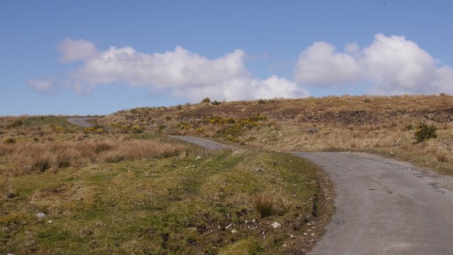
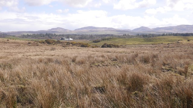
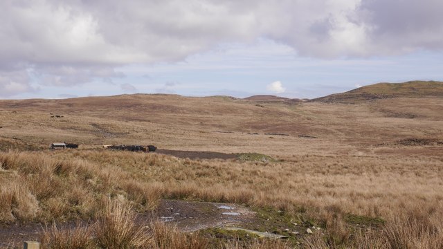
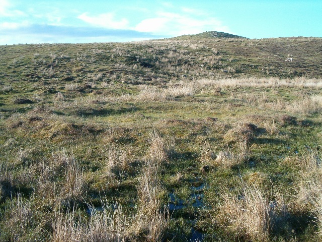
Coullabus Plantation Images

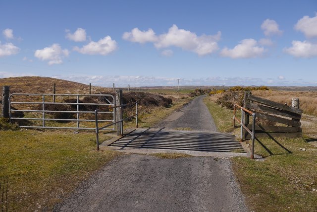
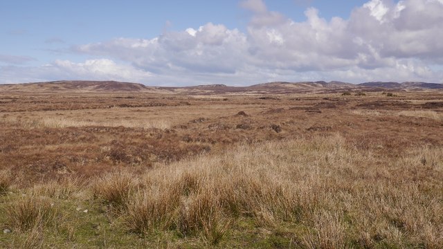
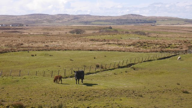
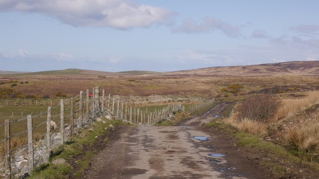
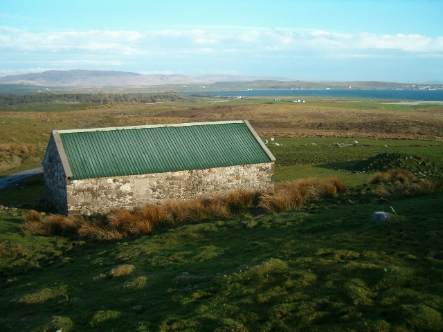
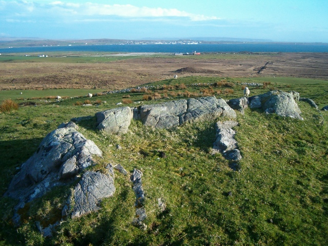
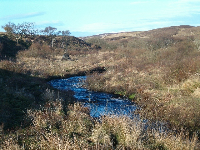
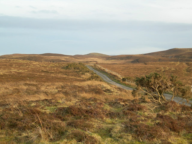
Images are sourced within 2km of 55.807227/-6.3190158 or Grid Reference NR2965. Thanks to Geograph Open Source API. All images are credited.

Cattlegrid, Torran na Feannaige
Bog, Gleann Mòr The edge of the vast empty northeast of Islay.
Bog, Gleann Mòr
The edge of the vast empty northeast of Islay.
Cow and calf, Lagstoban
Single track road, Islay Between Loch Indaal and the Gruinart Flats via Borichill.  It is unfenced with cattlegrids.
Single track road, Islay
Between Loch Indaal and the Gruinart Flats via Borichill. It is unfenced with cattlegrids.
Single track road, Borichill Between Bridgend and Gruinart, the road is largely unfenced with cattle grids.
Single track road, Borichill
Between Bridgend and Gruinart, the road is largely unfenced with cattle grids.
Rough grazing, Carrabus Rough ground, grazed by cattle.
Rough grazing, Carrabus
Rough ground, grazed by cattle.
Islay hill grazing Cattle on rough ground above Carrabus.
Islay hill grazing
Cattle on rough ground above Carrabus.
Hut circles at Borichill Mor This land is now very wet and boggy. Presumably it was better drained when the site was inhabited.
Hut circles at Borichill Mor
This land is now very wet and boggy. Presumably it was better drained when the site was inhabited.
The green roof This restored ruin is used as a field barn. View south over Loch Indaal with Bowmore in the right distance.
The green roof
This restored ruin is used as a field barn. View south over Loch Indaal with Bowmore in the right distance.
Rocky hilltop Looking southwest towards Lochindaal and Bowmore.
Rocky hilltop
Looking southwest towards Lochindaal and Bowmore.
Gleann a Chardaidh Looking north-east up the shallow glen. This land is used for grazing cattle.
Gleann a Chardaidh
Looking north-east up the shallow glen. This land is used for grazing cattle.
Moorland near Coullabus Taken in February, this photograph shows the rich winter colours of the moor.
Moorland near Coullabus
Taken in February, this photograph shows the rich winter colours of the moor.
Beef Cattle near Coullabus
Hill Grazing Looking up the slope towards Borichill Mor.
Hill Grazing
Looking up the slope towards Borichill Mor.
Croft above Loch Indaal
Moorland near Coullabus
Bridge at Gleann a Chardaidh
Gleann a Chardaidh
Gleann a Chardaidh
Show me another place!

Coullabus Plantation is located at Grid Ref: NR2965 (Lat: 55.807227, Lng: -6.3190158)

Unitary Authority: Argyll and Bute

Police Authority: Argyll and West Dunbartonshire

What 3 Words

///calculate.jaws.accented. Near Bridgend, Argyll & Bute

Nearby Locations

Coullabus Plantation

Related Wikis

Gruinart Flats

The Gruinart Flats is a low-lying landform on the western part of the isle of Islay in Scotland. The locale is an important conservation area, having been...

Battle of Traigh Ghruinneart

The Battle of Traigh Ghruinneart or in Scottish Gaelic Blàr Tràigh Ghruineart or sometimes called the Battle of Gruinart Strand was a Scottish clan battle...

Islay House

Islay House is a Category A listed country house near Bridgend, Islay in the county of Argyll, in western Scotland on the shores of Loch Indaal. ��2�...

Bridgend Flats

Bridgend Flats is an area of mudflats and saltmarsh near the village of Bridgend on the island of Islay off the west coast of Scotland. Covering an area...

Nearby Amenities

Located within 500m of 55.807227,-6.3190158
Place: farm
Lat/Long: 55.8096889/-6.3134176
Power: pole
Lat/Long: 55.8028171/-6.3196327
Power: pole
Lat/Long: 55.8062403/-6.3184806
Power: pole
Lat/Long: 55.8043358/-6.3194714
Power: pole
Lat/Long: 55.8076287/-6.3180169
Power: pole
Lat/Long: 55.809244/-6.317488
Power: pole
Lat/Long: 55.8033722/-6.3194459
Power: pole
Lat/Long: 55.8039535/-6.3192502
Power: pole
Lat/Long: 55.8044765/-6.3190742
Power: pole
Lat/Long: 55.8055734/-6.318705
Power: pole
Lat/Long: 55.8069561/-6.3182415
Power: pole
Lat/Long: 55.8084411/-6.3177509
Power: pole
Lat/Long: 55.8100654/-6.3172924
Power: pole
Lat/Long: 55.8108852/-6.3170973
Power: pole
Lat/Long: 55.8099651/-6.31343
Passing Place
Lat/Long: 55.8037998/-6.3206795
Passing Place
Lat/Long: 55.805603/-6.3199462
Passing Place
Lat/Long: 55.8067941/-6.3195454
Passing Place
Lat/Long: 55.8078113/-6.3192963
Passing Place
Lat/Long: 55.8089812/-6.3190012
Passing Place
Lat/Long: 55.8095052/-6.318869
Passing Place
Lat/Long: 55.810086/-6.3187225
The data included in this document is from www.openstreetmap.org. The data is made available under ODbL.

Have you been to Coullabus Plantation?

Leave your review of Coullabus Plantation below (or comments, questions and feedback).