Millennium Coastal Park

Wood, Forest in Carmarthenshire

Wales

Millennium Coastal Park

Wildfowl and Wetlands Centre, Llanelli View over the salt flats {with three spoonbills hidden somewhere.}
Wildfowl and Wetlands Centre, Llanelli Credit: Jack Hill

The requested URL returned error: 429 Too Many Requests

If you have any feedback on the listing, please let us know in the comments section below.

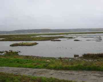
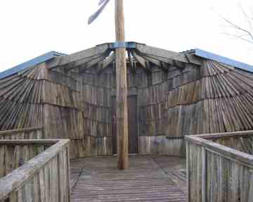
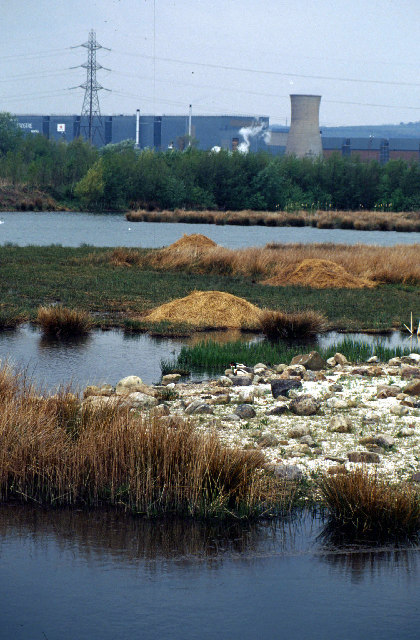
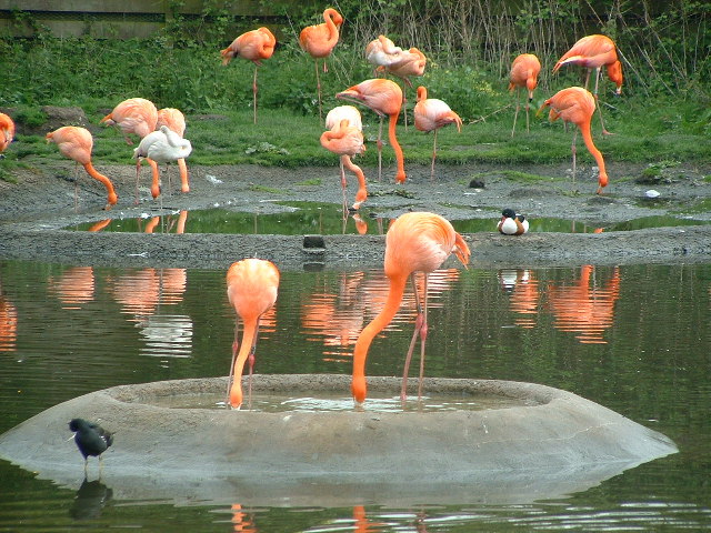
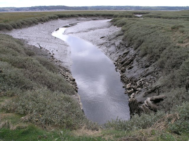
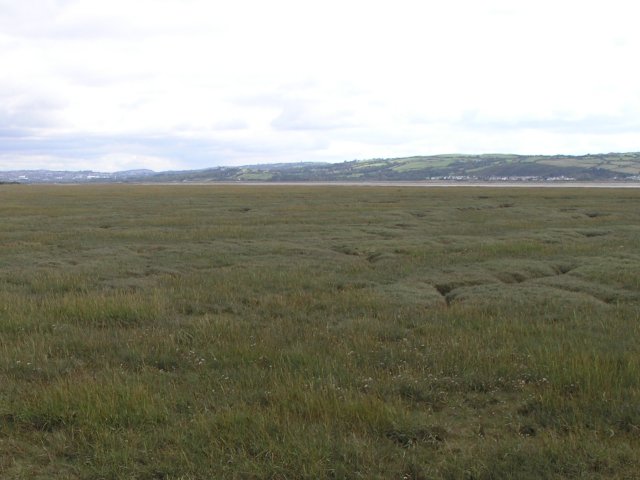
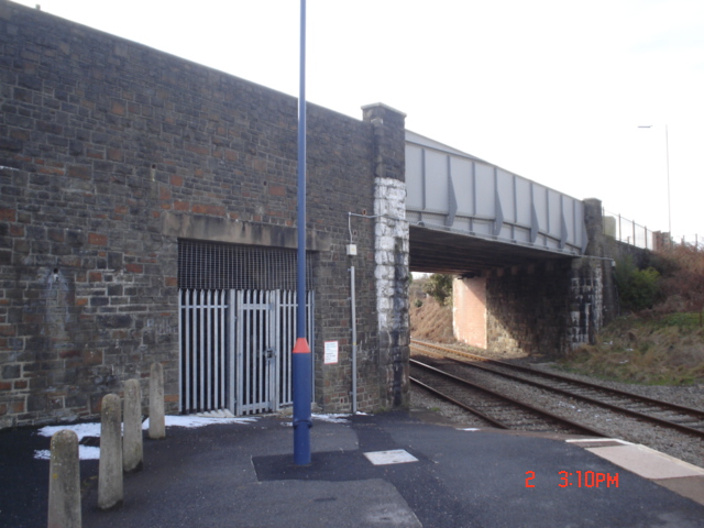
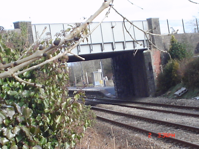
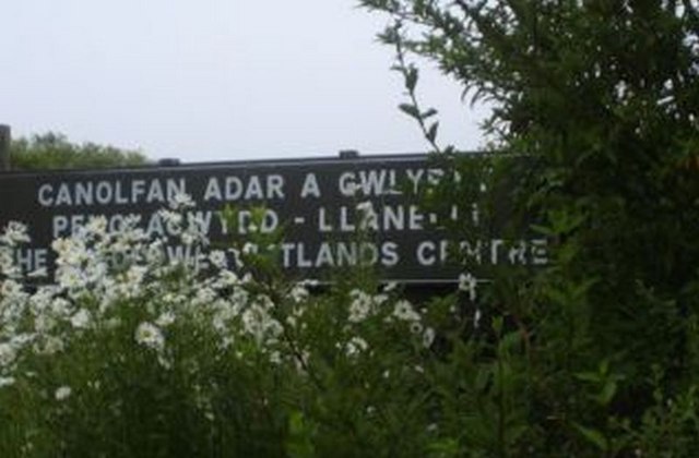
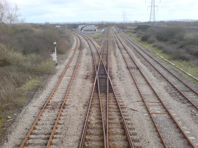
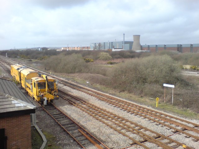
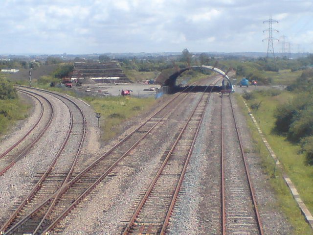
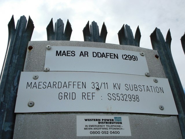
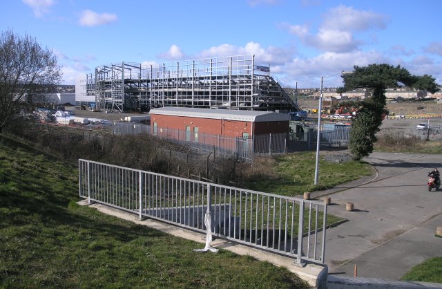
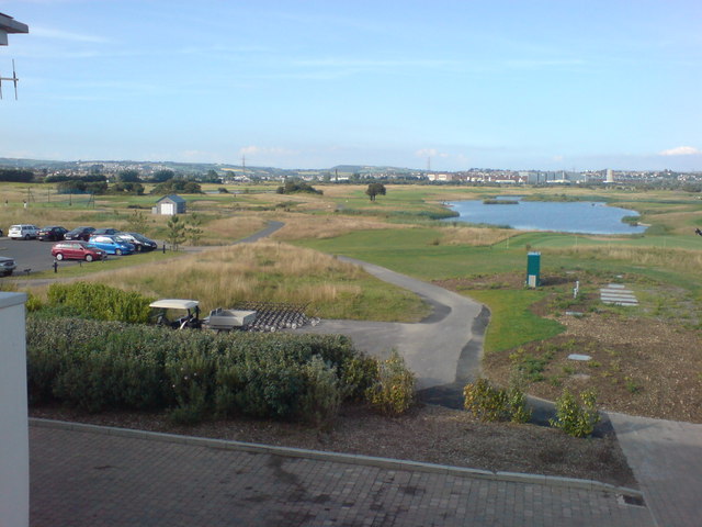
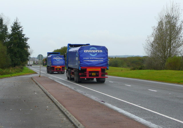
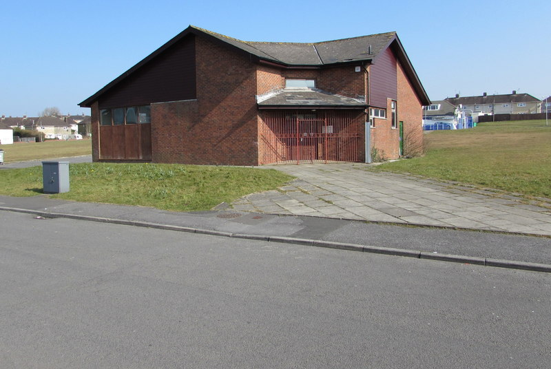
Millennium Coastal Park Images

Images are sourced within 2km of 51.665918/-4.1182216 or Grid Reference SS5398. Thanks to Geograph Open Source API. All images are credited.

Wildfowl and Wetlands Centre, Llanelli View over the salt flats {with three spoonbills hidden somewhere.}
Wildfowl and Wetlands Centre, Llanelli
View over the salt flats {with three spoonbills hidden somewhere.}
Wildlife and Wetlands bird sanctuary Llanelli This is the entrance to the Millennium hide.
Wildlife and Wetlands bird sanctuary Llanelli
This is the entrance to the Millennium hide.
Millennium Wetlands & Trostre Works The newly-created waterfowl sanctuary contrasts with South Wales' traditional industry.
Millennium Wetlands & Trostre Works
The newly-created waterfowl sanctuary contrasts with South Wales' traditional industry.
The National Wetlands Centre Wales Located on the Ramsar site of the Burry Inlet, WWT's innovative centre at Llanelli is at the frontend of wetland conservation in Wales. Its newest feature is the Millennium Wetland complex, home to wildlife as diverse as dragonfly and Little Egret.
The National Wetlands Centre Wales
Located on the Ramsar site of the Burry Inlet, WWT's innovative centre at Llanelli is at the frontend of wetland conservation in Wales. Its newest feature is the Millennium Wetland complex, home to wildlife as diverse as dragonfly and Little Egret.
New development Llanelli It's always nice to see new developments with character. 
This one is in Llanelli.
New development Llanelli
It's always nice to see new developments with character. This one is in Llanelli.
Floodplain Gully A flood plain gully at low tide on the Loughor estuary.
Floodplain Gully
A flood plain gully at low tide on the Loughor estuary.
Loughor flood plain This is the flood plain of the Loughor estuary, looking towards the north of the Gower peninsula.  I'm glad I had GPS to tell me when I was in this square - it's quite tricky to negotiate in shoes and terrain was becoming softer and muddier by each step.
Loughor flood plain
This is the flood plain of the Loughor estuary, looking towards the north of the Gower peninsula. I'm glad I had GPS to tell me when I was in this square - it's quite tricky to negotiate in shoes and terrain was becoming softer and muddier by each step.
Pedestrian & cycle bridge over A484
Bynea Bridge On Bynea Station on the Heart of Wales line
Bynea Bridge
On Bynea Station on the Heart of Wales line
Bynea Bridge
Bynea Bridge
National Wetlands Centre Known as Penclacwydd
National Wetlands Centre
Known as Penclacwydd
Llandilo Junction This is the junction where the Heart of Wales line departs from the West Wales Line.  It's obvious from the rust on the left line that this railway is predominantly run as a single track line.  Some goods traffic also travels along this line, branching off just south of Pontardulais.

In the distance, just after the junction, some strange arches have recently been constructed.  This turned out to be a prefabricated tunnel, which presumably was lifted over the line when it wasn't being used! <a href="https://www.geograph.org.uk/photo/498158">SS5398 : New tunnel at Llandilo Junction</a>

The spelling of the junction's name is probably a throwback from when welsh spellings were approximated to English; it should probably be Llandeilo junction, but Llandilo is the spelling in not only ancient and modern maps but also in railway documentation.
Llandilo Junction
This is the junction where the Heart of Wales line departs from the West Wales Line. It's obvious from the rust on the left line that this railway is predominantly run as a single track line. Some goods traffic also travels along this line, branching off just south of Pontardulais. In the distance, just after the junction, some strange arches have recently been constructed. This turned out to be a prefabricated tunnel, which presumably was lifted over the line when it wasn't being used! SS5398 : New tunnel at Llandilo Junction The spelling of the junction's name is probably a throwback from when welsh spellings were approximated to English; it should probably be Llandeilo junction, but Llandilo is the spelling in not only ancient and modern maps but also in railway documentation.
Ballast spreader at Llandilo Junction A ballast spreader parked at Llandilo Junction.  In the distance, Trostre steel works can be observed.
Ballast spreader at Llandilo Junction
A ballast spreader parked at Llandilo Junction. In the distance, Trostre steel works can be observed.
New tunnel at Llandilo Junction Construction of a prefabricated bridge/tunnel for a new road bypass.  A ramp can now be seen on both sides of the arches where the road will eventually traverse the railway. This is Llandilo junction (misspelling is intentional as that's its name), the actual start of the Heart of Wales line.
New tunnel at Llandilo Junction
Construction of a prefabricated bridge/tunnel for a new road bypass. A ramp can now be seen on both sides of the arches where the road will eventually traverse the railway. This is Llandilo junction (misspelling is intentional as that's its name), the actual start of the Heart of Wales line.
Maes ar Ddafen sub station
New stadium, under construction Currently being built, this is the construction site for the new rugby stadium in the Trostre area of Llanelli. Soon to be the new home for the Llanelli Scarlets.
New stadium, under construction
Currently being built, this is the construction site for the new rugby stadium in the Trostre area of Llanelli. Soon to be the new home for the Llanelli Scarlets.
Somewhere to lose your balls! Another lake on the range. Trostre Steel Works is in the distance. The last of Llanelli's big industry.
Somewhere to lose your balls!
Another lake on the range. Trostre Steel Works is in the distance. The last of Llanelli's big industry.
A484 Bynea by-pass These lorries are heading towards Llanelli, a town based on steel production.
A484 Bynea by-pass
These lorries are heading towards Llanelli, a town based on steel production.
Show me another place!

Millennium Coastal Park is located at Grid Ref: SS5398 (Lat: 51.665918, Lng: -4.1182216)

Unitary Authority: Carmarthenshire

Police Authority: Dyfed Powys

Also known as: Parc Arfordirol y Mileniwm

What 3 Words

///proceeds.appraised.alongside. Near Pen-clawdd, Swansea

Related Wikis

WWT Llanelli Wetlands Centre

WWT Llanelli Wetland Centre at Llanelli, Carmarthenshire, Wales is one of ten wetland nature reserves in the UK managed by the Wildfowl and Wetlands Trust...

Trostre Steelworks

Trostre Steelworks is a tinplate manufacturing facility located in Pemberton, Carmarthenshire, just outside Llanelli, West Wales. Planned by the Steel...

Llwynhendy

Llwynhendy (sometimes spelled Llwyn-Hendy), is a village and ward near the town of Llanelli in Carmarthenshire, Wales. The ward, which includes the village...

Bynea

Bynea ( BIN-yÉ™; Welsh: Bynie) is a village close to the River Loughor (Welsh: Afon Llwchwr) in Carmarthenshire, Wales. It also forms an electoral ward...

Nearby Amenities

Located within 500m of 51.665918,-4.1182216
Railway: switch
Lat/Long: 51.6701491/-4.1199665
Power: tower
Lat/Long: 51.66865/-4.1201613
Power: tower
Lat/Long: 51.6680246/-4.1148839
Duffryn West Junction
End Date: 2013-04
Historic Railway: junction
Railway: site
Lat/Long: 51.6680259/-4.1134923
Barrier: bollard
Lat/Long: 51.667096/-4.1231593
Penclacwydd Crossing
Railway: level_crossing
Lat/Long: 51.6681425/-4.1141407
Railway: switch
Lat/Long: 51.6701842/-4.1196019
Penclacwydd Crossing
Railway: level_crossing
Lat/Long: 51.6680978/-4.1141751
Railway: railway_crossing
Lat/Long: 51.6692669/-4.1225684
Trostre Works Junction
Railway: junction
Lat/Long: 51.6701594/-4.1196969
Bench
Backrest: no
Lat/Long: 51.6662903/-4.1217447
Bench
Backrest: no
Lat/Long: 51.6674233/-4.1210122
Leisure: bird_hide
Shelter: no
Lat/Long: 51.6665326/-4.119187
Fishing Bay 4
Leisure: fishing
Lat/Long: 51.6669544/-4.1184077
Bench
Backrest: no
Lat/Long: 51.6673834/-4.1172265
Information: map
Tourism: information
Lat/Long: 51.6671686/-4.1176202
Fishing Bay 5
Leisure: fishing
Lat/Long: 51.6666486/-4.1176805
Leisure: bird_hide
Shelter: no
Lat/Long: 51.6667789/-4.1159503
Bench
Backrest: no
Lat/Long: 51.6669543/-4.1154157
Bench
Backrest: yes
Lat/Long: 51.6644673/-4.1153777
Bench
Backrest: no
Lat/Long: 51.6645022/-4.1153582
Bench
Backrest: yes
Material: wood
Lat/Long: 51.6642754/-4.1154775
Bench
Backrest: no
Material: wood
Lat/Long: 51.6643057/-4.1155263
Reed Warbler Nest
Artwork Type: sculpture
Tourism: artwork
Lat/Long: 51.6635217/-4.1132285
Information: board
Tourism: information
Lat/Long: 51.663321/-4.1135936
Bench
Backrest: no
Lat/Long: 51.6631908/-4.1189516
Crossing
Lat/Long: 51.6650228/-4.1241821
Bench
Lat/Long: 51.6659388/-4.1240605
Bench
Lat/Long: 51.6660172/-4.1241343
Bench
Lat/Long: 51.6661862/-4.1248049
Leisure: picnic_table
Lat/Long: 51.6653067/-4.1250047
Leisure: picnic_table
Lat/Long: 51.6652335/-4.1250637
Leisure: picnic_table
Lat/Long: 51.6651803/-4.1251415
The data included in this document is from www.openstreetmap.org. The data is made available under ODbL.

Have you been to Millennium Coastal Park?

Leave your review of Millennium Coastal Park below (or comments, questions and feedback).