Church Grove
Wood, Forest in Monmouthshire
Wales
Church Grove
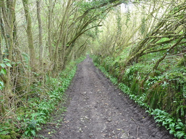
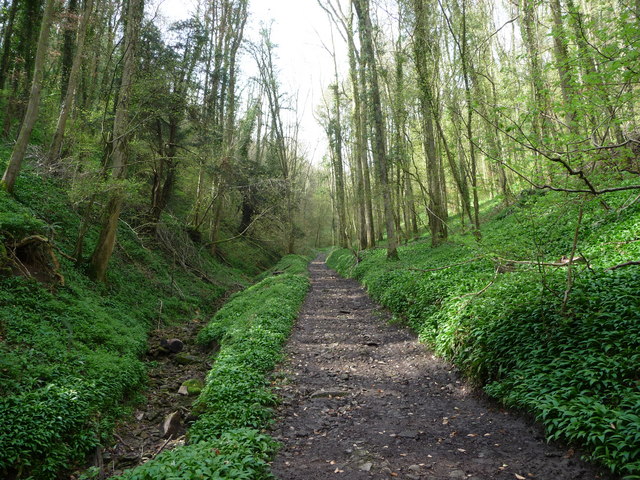
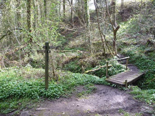
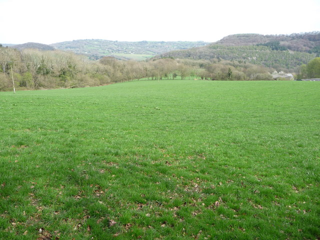
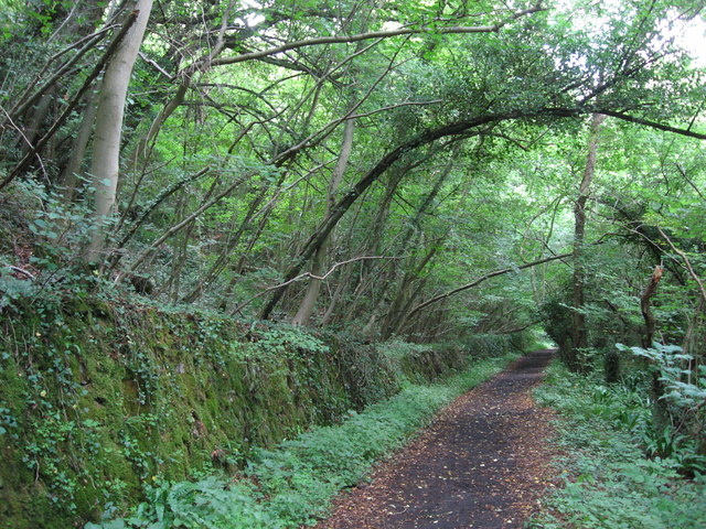
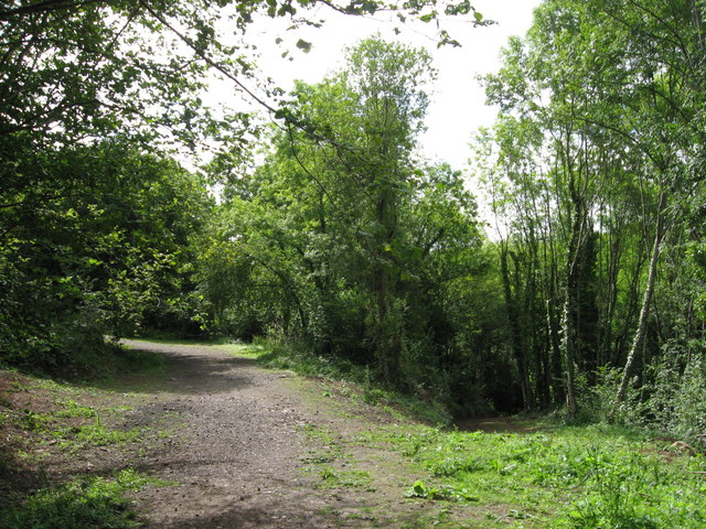
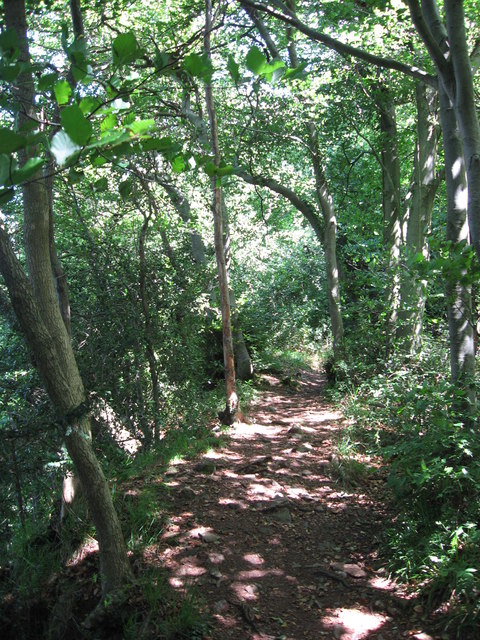
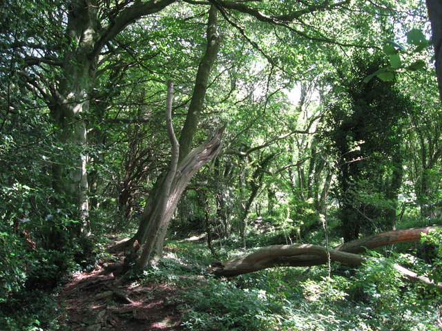
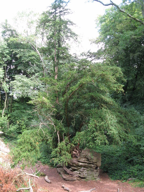
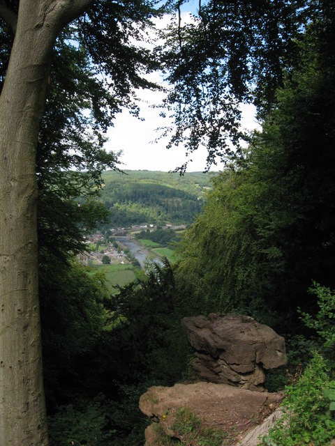
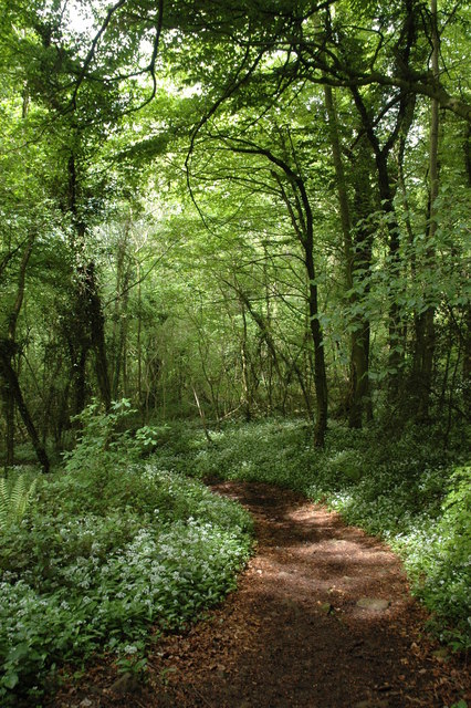
Church Grove is a picturesque woodland area located in Monmouthshire, Wales. Nestled in the heart of nature, this enchanting forest boasts a diverse range of trees, creating a serene and tranquil atmosphere for visitors to enjoy. The grove is particularly known for its dense population of oak, beech, and ash trees, which provide a lush canopy that filters sunlight, creating a magical ambiance.
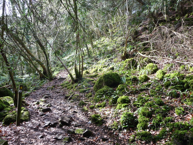
The woodland is home to a rich variety of wildlife, making it a haven for nature enthusiasts. Visitors may be fortunate enough to spot a multitude of bird species, including robins, finches, and woodpeckers, as well as small mammals like squirrels and rabbits. The forest floor is also teeming with flora, with carpets of bluebells and wildflowers adding bursts of color to the landscape during the spring and summer months.
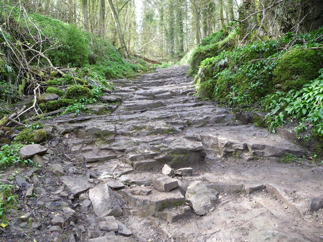
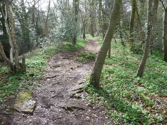
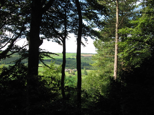
A network of well-maintained footpaths allows visitors to explore the grove at their leisure. There are several walking trails of varying lengths and difficulties, catering to all levels of fitness and mobility. These paths wind through the woodlands, offering glimpses of babbling brooks, hidden ponds, and ancient stone walls that add a touch of history to the area.
Church Grove is a popular destination for families, hikers, and nature lovers alike, providing a tranquil escape from the hustle and bustle of everyday life. With its natural beauty and abundant wildlife, this picturesque woodland invites visitors to immerse themselves in the wonders of nature and experience the peacefulness and serenity it has to offer.
If you have any feedback on the listing, please let us know in the comments section below.
Church Grove Images
Images are sourced within 2km of 51.695293/-2.6846867 or Grid Reference ST5299. Thanks to Geograph Open Source API. All images are credited.

Church Grove is located at Grid Ref: ST5299 (Lat: 51.695293, Lng: -2.6846867)
Unitary Authority: Monmouthshire
Police Authority: Gwent
What 3 Words
///seabirds.fries.forgiving. Near Tintern, Monmouthshire
Nearby Locations
Related Wikis

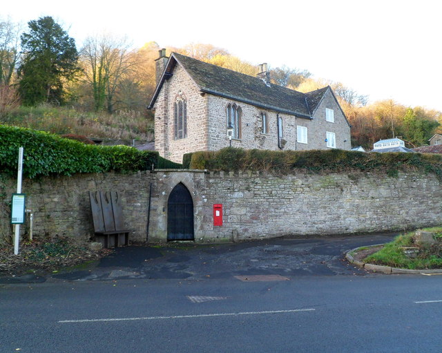
Tintern
Tintern (Welsh: Tyndyrn) is a village in the community of Wye Valley, on the west bank of the River Wye in Monmouthshire, Wales, close to the border with...
St Anne's House, Tintern
St Anne's House, Tintern, Monmouthshire, is a house of early medieval origin which includes elements of the gatehouse and chapel of Tintern Abbey. The...

Tintern Wireworks Branch
The Tintern Wireworks Branch was a short branch line on the Wye Valley Railway, crossing the River Wye between Monmouthshire, Wales, and Gloucestershire...

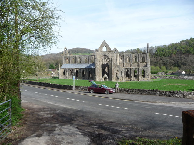
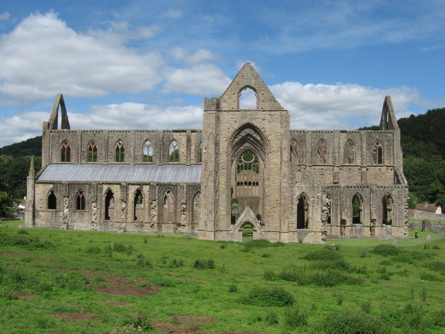
Tintern Abbey
Tintern Abbey (Welsh: Abaty Tyndyrn ) was founded on 9 May 1131 by Walter de Clare, Lord of Chepstow. It is situated adjacent to the village of Tintern...
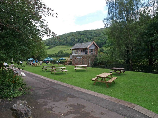
Tintern railway station
Tintern railway station served the village of Tintern on the Wye Valley Railway. It was opened in 1876 and closed for passengers in 1959 and freight in...
Lippets Grove
Lippets Grove (grid reference SO540000) is a 5-hectare (12-acre) nature reserve in Gloucestershire. The site was leased from the Forestry Commission in...

Penterry
Penterry (Welsh: Penteri) is a small rural parish of 479 acres (1.94 km2) in Monmouthshire, Wales. It is located between the villages of St. Arvans and...

Shorn Cliff and Caswell Woods
Shorn Cliff And Caswell Woods (SO540005 & SO540990) is a 69.2-hectare (171-acre) biological Site of Special Scientific Interest in Gloucestershire, notified...
Nearby Amenities
Located within 500m of 51.695293,-2.6846867Have you been to Church Grove?
Leave your review of Church Grove below (or comments, questions and feedback).