Buckle Wood

Wood, Forest in Monmouthshire

Wales

Buckle Wood

Ravensnest Woods Ravensnest Woods near Devauden
Ravensnest Woods Credit: Kevin Pearson

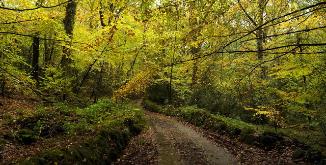
Buckle Wood is a picturesque forest located in Monmouthshire, Wales. Covering an area of approximately 50 acres, this woodland is a haven for nature lovers and outdoor enthusiasts alike. Nestled amidst the stunning countryside, it offers a tranquil and serene environment for visitors.

The wood is predominantly composed of a mix of broadleaf trees, including oak, beech, and ash, creating a diverse and vibrant ecosystem. The lush green canopy provides a haven for a variety of wildlife, including birds, squirrels, and deer. The forest floor is carpeted with a rich layer of moss, ferns, and wildflowers, adding to its natural beauty.

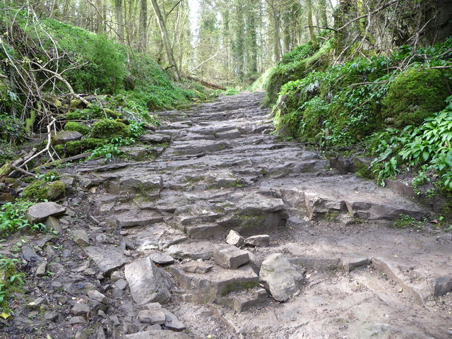
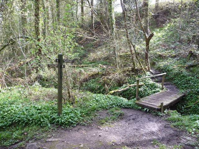
Buckle Wood offers a network of well-maintained walking trails, allowing visitors to explore its enchanting surroundings. The paths wind through the forest, providing opportunities to immerse oneself in the peaceful ambiance and observe the diverse flora and fauna. The forest also boasts a small stream, which adds to the charm of the woodland.

For those seeking a more immersive experience, Buckle Wood offers camping facilities, allowing visitors to spend the night under the starry sky. The campsite is well-equipped with basic amenities and provides a wonderful opportunity to connect with nature.

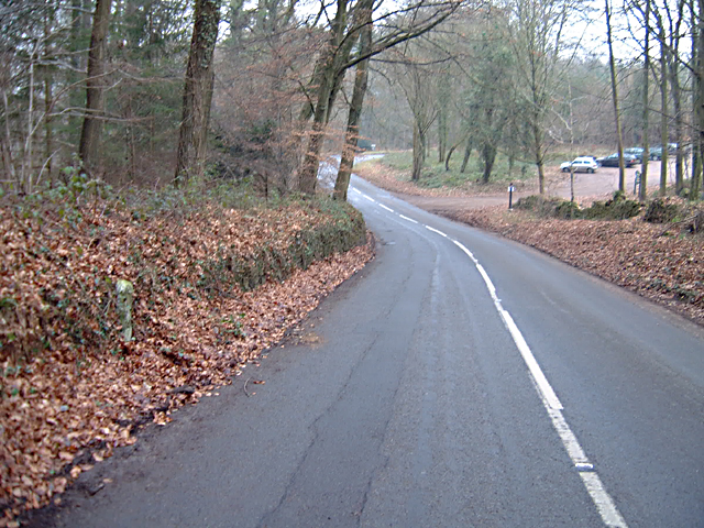
Located in close proximity to the town of Monmouth, Buckle Wood is easily accessible by car or public transportation. Whether one seeks a peaceful stroll amidst nature, a camping adventure, or an opportunity to observe wildlife, Buckle Wood offers a delightful experience for all nature enthusiasts.

If you have any feedback on the listing, please let us know in the comments section below.
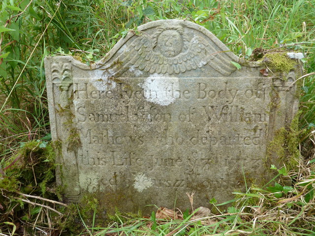
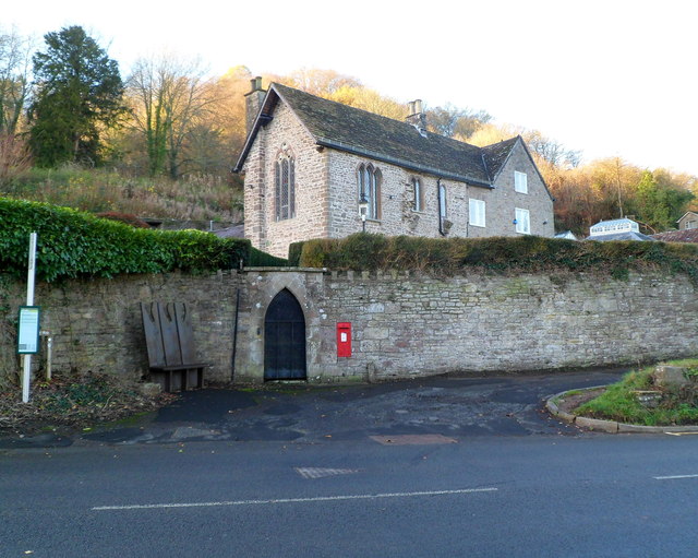
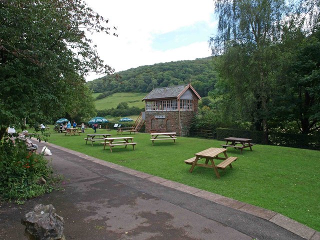
Buckle Wood Images

Images are sourced within 2km of 51.697125/-2.7092247 or Grid Reference SO5100. Thanks to Geograph Open Source API. All images are credited.

Ravensnest Woods Ravensnest Woods near Devauden
Ravensnest Woods
Ravensnest Woods near Devauden
Fedw Lane A very narrow and twisting lane through New Wood.
Fedw Lane
A very narrow and twisting lane through New Wood.
Fedw residents Two horses in a field by the Fedw Brook.
Fedw residents
Two horses in a field by the Fedw Brook.
Field by the Fedw Brook The two equestrian residents are just around the hedge to the right.
See <a href="https://www.geograph.org.uk/photo/6313205">ST4999 : Fedw residents</a>.
Field by the Fedw Brook
The two equestrian residents are just around the hedge to the right. See ST4999 : Fedw residents.
Milestone - 4 Miles to Chepstow The milestone is set into the wall in the left foreground. The view is towards Chepstow. The turn to The Cot is just out of sight. This is one of the surviving Chepstow milestones with missing data.
Milestone - 4 Miles to Chepstow
The milestone is set into the wall in the left foreground. The view is towards Chepstow. The turn to The Cot is just out of sight. This is one of the surviving Chepstow milestones with missing data.
River Anghidi One of the fishing pools on the Anghidi River near Tintern
River Anghidi
One of the fishing pools on the Anghidi River near Tintern
Field above Fedw Pool Field crossed by a footpath to the west of Fedw Pool.
Field above Fedw Pool
Field crossed by a footpath to the west of Fedw Pool.
Road through New Wood Country road through New Wood at Fedw near Devauden.  This road at this point is narrow with moss and lichen covered low walls on both sides.
Road through New Wood
Country road through New Wood at Fedw near Devauden. This road at this point is narrow with moss and lichen covered low walls on both sides.
Part of the Wye Valley Walk in Limekiln Wood Here the underlying bedrock forms a series of steps.
Part of the Wye Valley Walk in Limekiln Wood
Here the underlying bedrock forms a series of steps.
The Wye Valley Walk in Limekiln Wood Here the path turns south through beautiful woodland.
The Wye Valley Walk in Limekiln Wood
Here the path turns south through beautiful woodland.
Tintern - 1713 gravestone in St Mary's churchyard "Here lyeth the Body of Samuel ye son of William Mathews who departed this Life June ye 7th 1713 aged 9 Years ..."
Tintern - 1713 gravestone in St Mary's churchyard
"Here lyeth the Body of Samuel ye son of William Mathews who departed this Life June ye 7th 1713 aged 9 Years ..."
Path across pasture between woodland Coming down out of Black Cliff Wood and crossing into the top end of Limekiln Wood on part of the Wye Valley Walk.
Path across pasture between woodland
Coming down out of Black Cliff Wood and crossing into the top end of Limekiln Wood on part of the Wye Valley Walk.
The Wye Valley Walk in Limekiln Wood in summer The vegetation is thick and verdant and the mud, after our wet summer, glutinous and, by turns, surprisingly sticky or conversely, slippy.
The Wye Valley Walk in Limekiln Wood in summer
The vegetation is thick and verdant and the mud, after our wet summer, glutinous and, by turns, surprisingly sticky or conversely, slippy.
Path out of the top of Limekiln Wood A path / sunken way / gully, seasonal stream bed. To navigate it you need to be prepared to stride, slide, glide, crouch, mudsurf, leap, totter, lurch and lunge. 

And this isn't the worst bit.
Path out of the top of Limekiln Wood
A path / sunken way / gully, seasonal stream bed. To navigate it you need to be prepared to stride, slide, glide, crouch, mudsurf, leap, totter, lurch and lunge. And this isn't the worst bit.
Path junction or crossroads A path crosses my path here.
Path junction or crossroads
A path crosses my path here.
Overgrown path Some motorbike scramblers come down or up occasionally and there was evidence of some foot traffic and animal use too. But for an average sized bloke the going is not easy; hawthorn, wild rose brambles and blackberry brambles make it hazardous and the hedges touch at chest and face height, necessitating a running crouch to make headway, coupled to ducking, swerving and diving. It is more akin to running the gauntlet rather than a stroll in the country.
Overgrown path
Some motorbike scramblers come down or up occasionally and there was evidence of some foot traffic and animal use too. But for an average sized bloke the going is not easy; hawthorn, wild rose brambles and blackberry brambles make it hazardous and the hedges touch at chest and face height, necessitating a running crouch to make headway, coupled to ducking, swerving and diving. It is more akin to running the gauntlet rather than a stroll in the country.
Fedw Pool Trees reflected in the still waters of Fedw Pool, a private fishing pool with a public footpath passing by.
Fedw Pool
Trees reflected in the still waters of Fedw Pool, a private fishing pool with a public footpath passing by.
Show me another place!

Buckle Wood is located at Grid Ref: SO5100 (Lat: 51.697125, Lng: -2.7092247)

Unitary Authority: Monmouthshire

Police Authority: Gwent

What 3 Words

///motor.later.compliant. Near Tintern, Monmouthshire

Related Wikis

Penterry

Penterry (Welsh: Penteri) is a small rural parish of 479 acres (1.94 km2) in Monmouthshire, Wales. It is located between the villages of St. Arvans and...

Tintern

Tintern (Welsh: Tyndyrn) is a village in the community of Wye Valley, on the west bank of the River Wye in Monmouthshire, Wales, close to the border with...

Tintern Wireworks Branch

The Tintern Wireworks Branch was a short branch line on the Wye Valley Railway, crossing the River Wye between Monmouthshire, Wales, and Gloucestershire...

St Anne's House, Tintern

St Anne's House, Tintern, Monmouthshire, is a house of early medieval origin which includes elements of the gatehouse and chapel of Tintern Abbey. The...

Tintern Abbey

Tintern Abbey (Welsh: Abaty Tyndyrn ) was founded on 9 May 1131 by Walter de Clare, Lord of Chepstow. It is situated adjacent to the village of Tintern...

Trelleck Grange

Trelleck Grange (or Trellech Grange) is a small hamlet in a rural area of Monmouthshire, south east Wales, United Kingdom, about seven miles south of Monmouth...

Catbrook

Catbrook (Welsh: Catffrwd) is a village in Monmouthshire, south east Wales, United Kingdom. The population in 2011 was 412. == Location == Catbrook is...

Tintern railway station

Tintern railway station served the village of Tintern on the Wye Valley Railway. It was opened in 1876 and closed for passengers in 1959 and freight in...

Nearby Amenities

Located within 500m of 51.697125,-2.7092247
Buckle Wood
Created By: Potlatch 0.10f
Natural: wood
Note: Using node because entire forest outline already tagged
Lat/Long: 51.697567/-2.7087808
Give Way
Direction: backward
Lat/Long: 51.7003818/-2.711313
Post Box
Post Box Type: lamp
Ref: NP16 461
Royal Cypher: EIIR
Royal Cypher Wikidata: Q33102113
Lat/Long: 51.6991499/-2.7128506
The data included in this document is from www.openstreetmap.org. The data is made available under ODbL.

Have you been to Buckle Wood?

Leave your review of Buckle Wood below (or comments, questions and feedback).