Brooksholm Wood

Wood, Forest in Monmouthshire

Wales

Brooksholm Wood

Tracks to Llangunville Farm
Tracks to Llangunville Farm Credit: Jonathan Thacker

The requested URL returned error: 429 Too Many Requests

If you have any feedback on the listing, please let us know in the comments section below.

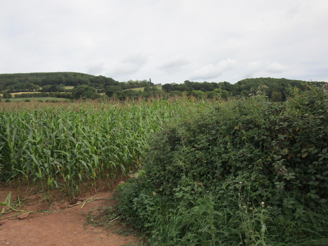
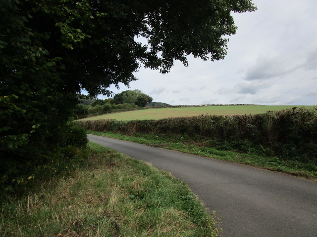
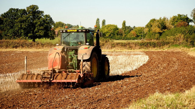
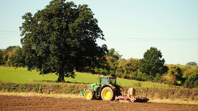
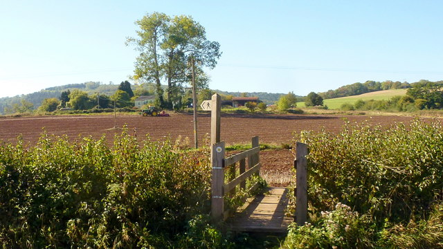
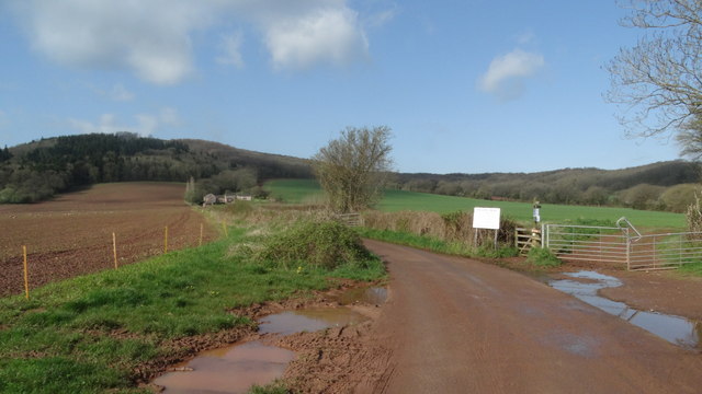
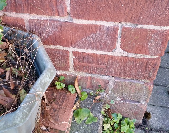
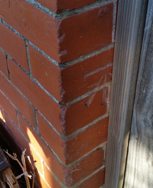
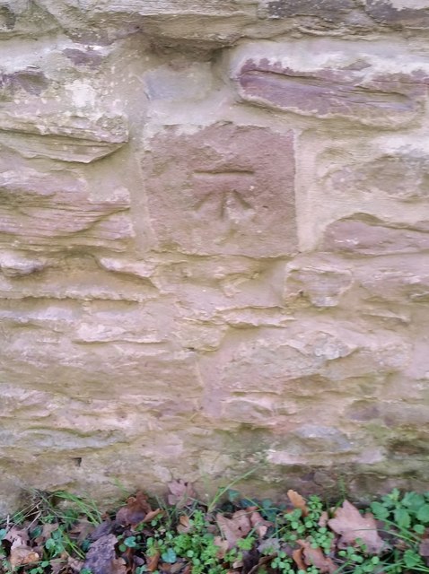
Brooksholm Wood Images

Images are sourced within 2km of 51.828808/-2.7315928 or Grid Reference SO4914. Thanks to Geograph Open Source API. All images are credited.

Tracks to Llangunville Farm
Field of maize near Tump Farm
Lane near Osbaston The south end of Brooksholm Wood in the distance.
Lane near Osbaston
The south end of Brooksholm Wood in the distance.
Autumn cultivation, 1 A field to the west of Rockfield Road on a fine late September morning.
The old crop was rape.
Autumn cultivation, 1
A field to the west of Rockfield Road on a fine late September morning. The old crop was rape.
Autumn cultivation, 2 Preparing the ground for the next crop by the Rockfield Road.
A fine oak beyond.
Autumn cultivation, 2
Preparing the ground for the next crop by the Rockfield Road. A fine oak beyond.
Path and footbridge Croft-y-Bwla and the tractor featured in <a href="https://www.geograph.org.uk/photo/5923747">SO4913 : Autumn cultivation, 1</a> and <a href="https://www.geograph.org.uk/photo/5923753">SO4913 : Autumn cultivation, 2</a> can be seen in the distance.
Path and footbridge
Croft-y-Bwla and the tractor featured in SO4913 : Autumn cultivation, 1 and SO4913 : Autumn cultivation, 2 can be seen in the distance.
Track leading to Bailey Pit Farm from Watery Ln, Monmouth
Ordnance Survey Cut Mark This OS cut mark can be found on No47 Rockfield Road. It marks a point 21.455m above mean sea level.
Ordnance Survey Cut Mark
This OS cut mark can be found on No47 Rockfield Road. It marks a point 21.455m above mean sea level.
Ordnance Survey Cut Mark This OS cut mark can be found on No18 Rolls Avenue. It marks a point 21.567m above mean sea level.
Ordnance Survey Cut Mark
This OS cut mark can be found on No18 Rolls Avenue. It marks a point 21.567m above mean sea level.
Ordnance Survey Cut Mark This OS cut mark can be found on No1 Brook Crescent. It marks a point 21.652m above mean sea level.
Ordnance Survey Cut Mark
This OS cut mark can be found on No1 Brook Crescent. It marks a point 21.652m above mean sea level.
Ordnance Survey Cut Mark This edge of this OS cut mark can be found on No18 Brook Crescent. It marks a point 22.174m above mean sea level.
Ordnance Survey Cut Mark
This edge of this OS cut mark can be found on No18 Brook Crescent. It marks a point 22.174m above mean sea level.
Ordnance Survey Cut Mark This OS cut mark can be found on a building south side of the lane at Ancre Hill. It marks a point 52.718m above mean sea level.
Ordnance Survey Cut Mark
This OS cut mark can be found on a building south side of the lane at Ancre Hill. It marks a point 52.718m above mean sea level.
River Monnow near Rockfield
Recently harvested crops near Rockfield
St Cenedlon's Church, Rockfield
Corner of Chartist Rise and Cornpoppy Avenue, Monmouth Houses at the southern end of Cornpoppy Avenue viewed across Chartist Rise.
Corner of Chartist Rise and Cornpoppy Avenue, Monmouth
Houses at the southern end of Cornpoppy Avenue viewed across Chartist Rise.
North along Cornpoppy Avenue, Monmouth Viewed across Chartist Rise. The bilingual name sign on the left 
shows that Cornpoppy Avenue is Rhodfa Blodau'r Wig in Welsh.
North along Cornpoppy Avenue, Monmouth
Viewed across Chartist Rise. The bilingual name sign on the left shows that Cornpoppy Avenue is Rhodfa Blodau'r Wig in Welsh.
Show me another place!

Brooksholm Wood is located at Grid Ref: SO4914 (Lat: 51.828808, Lng: -2.7315928)

Unitary Authority: Monmouthshire

Police Authority: Gwent

What 3 Words

///shams.generals.epidemics. Near Monmouth, Monmouthshire

Related Wikis

Great Manson Farm, Monmouth

Great Manson Farm is a property on the northern outskirts of Monmouth, Monmouthshire, Wales, in the Buckholt area. It is in the Manson Lane neighbourhood...

Osbaston, Monmouth

Osbaston is a suburb of Monmouth, Wales, located less than 1 mile (1.6 km) north of the town centre. It was the site of one of the first public electricity...

Rockfield Studios

Rockfield Studios is a residential recording studio located in the Wye Valley just outside the village of Rockfield, Monmouthshire, Wales. It was originally...

Monmouth New Hydro Scheme

The Monmouth New Hydro Scheme, which incorporates the Osbaston fish pass, is a hydroelectric scheme in Osbaston, near Monmouth, in South-East Wales....

Have you been to Brooksholm Wood?

Leave your review of Brooksholm Wood below (or comments, questions and feedback).