Church Wood

Wood, Forest in Monmouthshire

Wales

Church Wood

Redd Landes, Shirenewton Cul-de-sac on the north side of Earlswood Road. The name Redd Landes appears to be unique in the UK.
Redd Landes, Shirenewton Credit: Jaggery

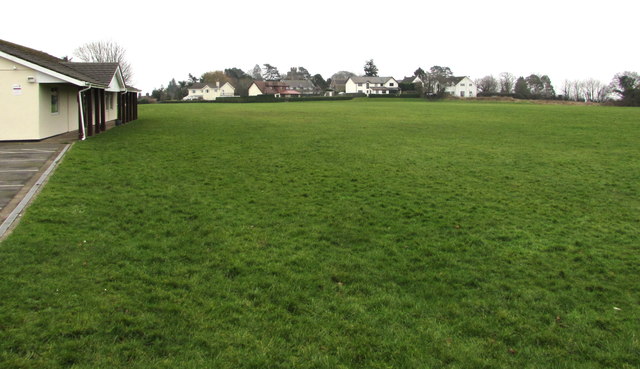
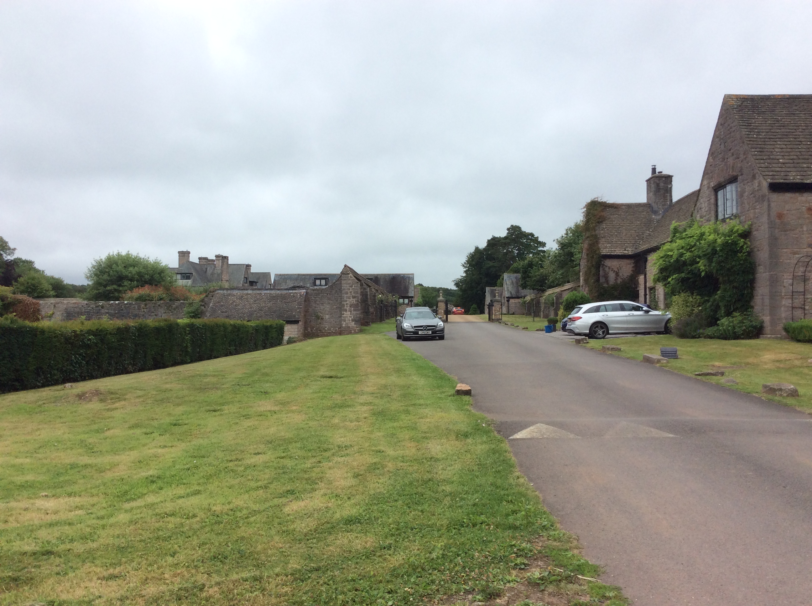
Church Wood is a picturesque woodland located in Monmouthshire, Wales. Covering an area of approximately 20 hectares, it is a popular destination for nature lovers and outdoor enthusiasts. The wood is situated in a stunning valley, encompassing a mixture of broadleaved and coniferous trees, including oak, beech, and spruce.

The woodland boasts a rich biodiversity, providing a habitat for a variety of wildlife. Visitors may have the chance to spot native species such as badgers, foxes, and squirrels, as well as a wide array of birdlife, including woodpeckers and owls. The diverse flora includes bluebells, primroses, and wild garlic, creating a vibrant and colorful landscape during springtime.

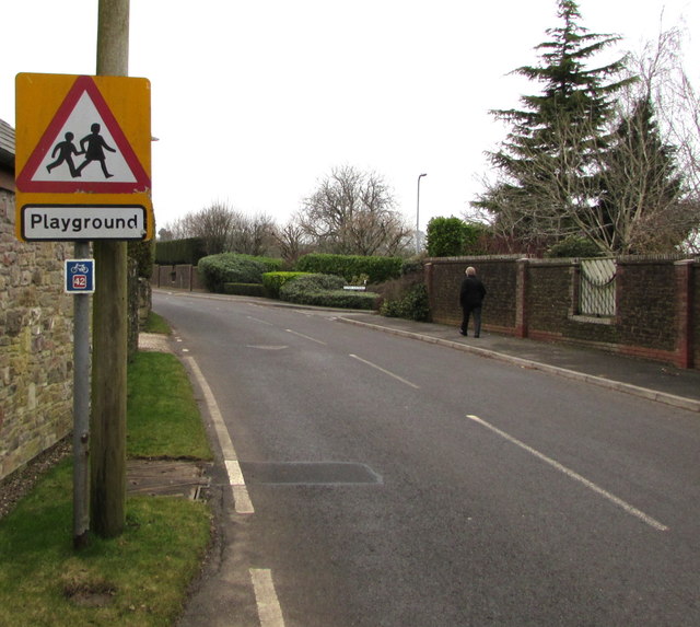
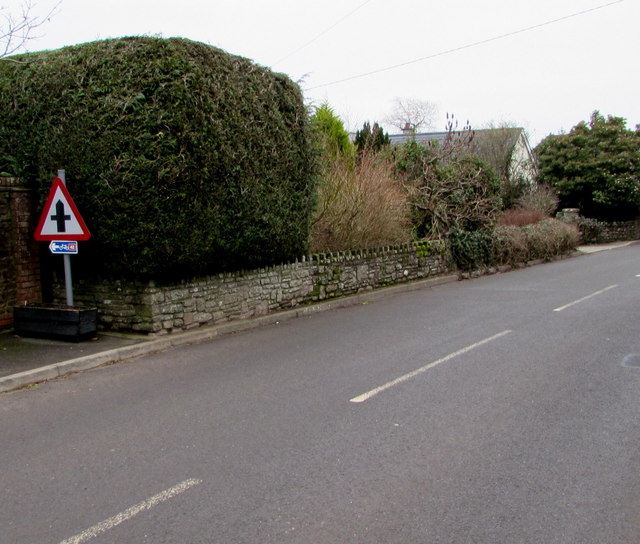
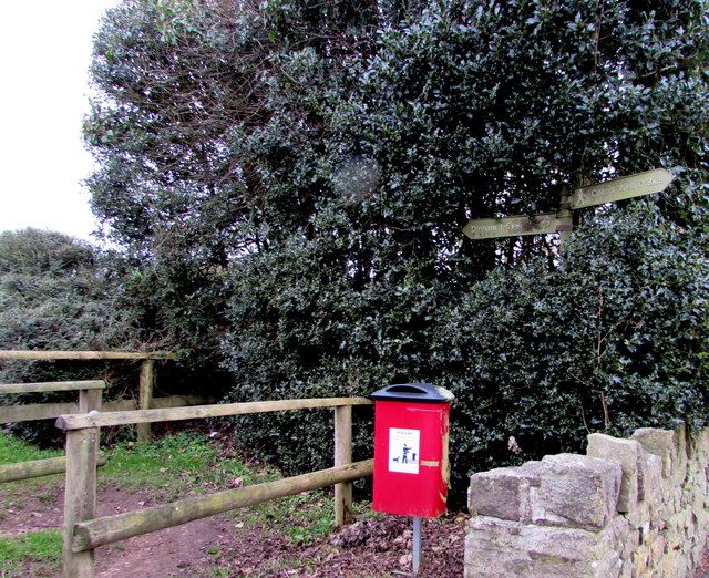
Church Wood offers several walking trails that meander through the woodland, allowing visitors to explore its natural beauty at their own pace. These paths are well-maintained and suitable for walkers of all ages and abilities. Along the way, there are informative signs providing interesting facts about the flora and fauna found in the wood.

As well as its natural attractions, Church Wood also holds historical significance. Nestled within the wood is the remains of a medieval church, dating back to the 12th century. This adds an element of intrigue and a sense of connection to the past for visitors.

Overall, Church Wood is a captivating destination that seamlessly combines natural beauty and historical interest. Whether it is for a peaceful walk, wildlife observation, or a glimpse into the past, this woodland offers a rewarding experience for all who visit.

If you have any feedback on the listing, please let us know in the comments section below.
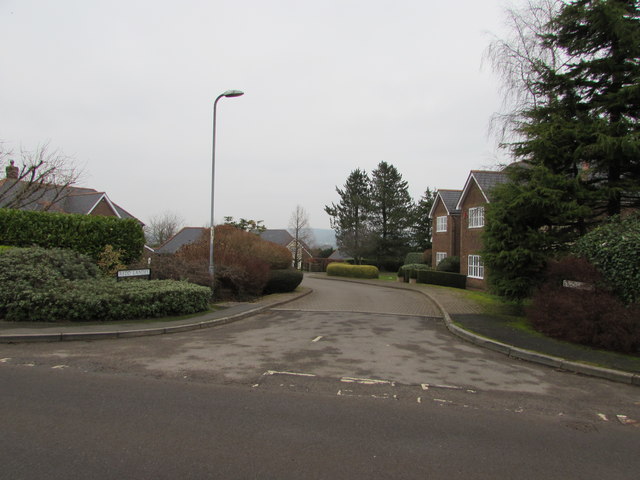
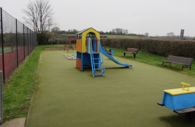
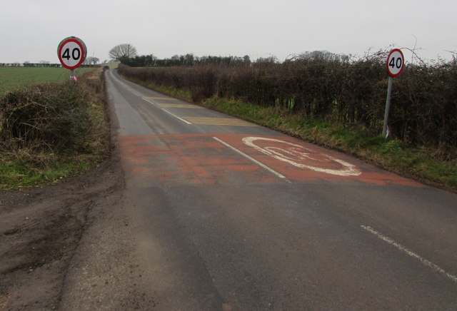
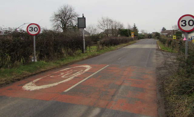
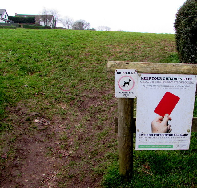
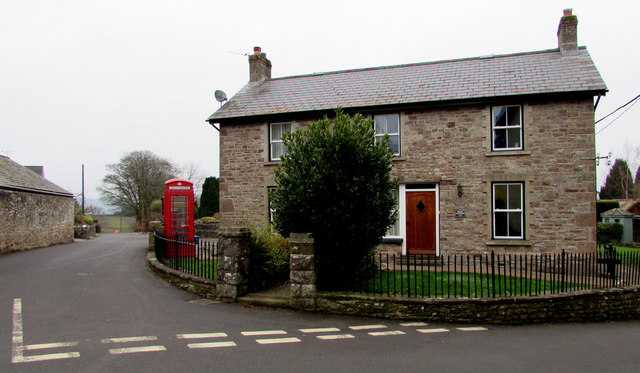
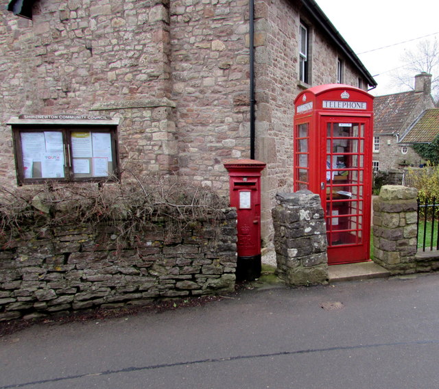
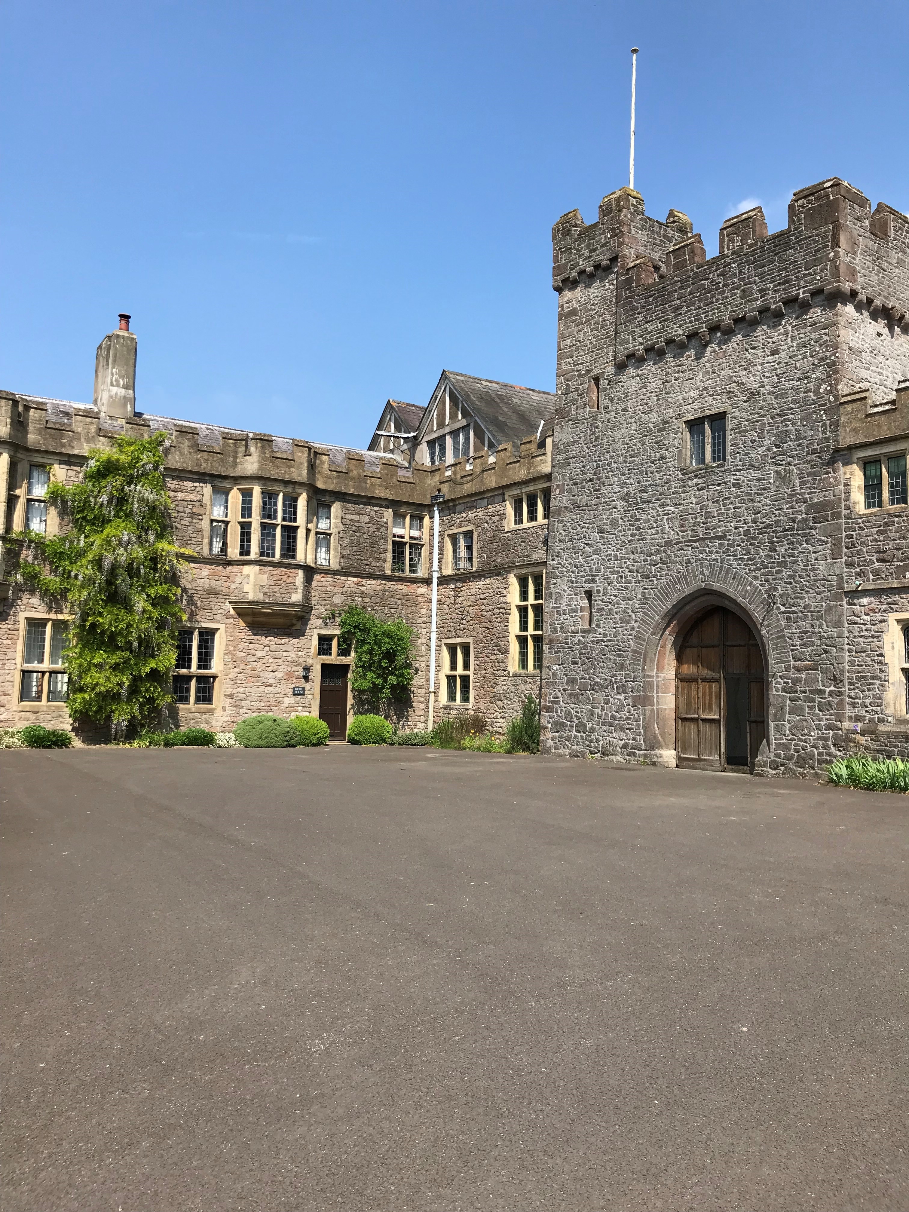
Church Wood Images

Images are sourced within 2km of 51.651131/-2.7359984 or Grid Reference ST4994. Thanks to Geograph Open Source API. All images are credited.

Redd Landes, Shirenewton Cul-de-sac on the north side of Earlswood Road. The name Redd Landes appears to be unique in the UK.
Redd Landes, Shirenewton
Cul-de-sac on the north side of Earlswood Road. The name Redd Landes appears to be unique in the UK.
Children's play area in Shirenewton At the western edge of the village, between a lawn tennis court and a hedge at the edge of Earlswood Road.
Children's play area in Shirenewton
At the western edge of the village, between a lawn tennis court and a hedge at the edge of Earlswood Road.
End of the 30 zone at the western edge of Shirenewton, Monmouthshire The 30mph speed limit on Earlswood Road increases to 40mph.
End of the 30 zone at the western edge of Shirenewton, Monmouthshire
The 30mph speed limit on Earlswood Road increases to 40mph.
Start of the 30 zone at the western edge of Shirenewton, Monmouthshire The 40mph speed limit on Earlswood Road drops to 30mph.
Start of the 30 zone at the western edge of Shirenewton, Monmouthshire
The 40mph speed limit on Earlswood Road drops to 30mph.
Warning sign - playground, Shirenewton Facing Earlswood Road on the approach to this <a title="https://www.geograph.org.uk/photo/5652529" href="https://www.geograph.org.uk/photo/5652529">Link</a> playground.
The small rectangular sign shows that this road is part of National Cycle Network Route 42.
Warning sign - playground, Shirenewton
Facing Earlswood Road on the approach to this Link playground. The small rectangular sign shows that this road is part of National Cycle Network Route 42.
Two telecoms cabinets and two litter bins, Shirenewton Alongside Earlswood Road at the entrance to the village recreation ground.
A Virgin Media cabinet is on the right, next to a BT cabinet.
Two telecoms cabinets and two litter bins, Shirenewton
Alongside Earlswood Road at the entrance to the village recreation ground. A Virgin Media cabinet is on the right, next to a BT cabinet.
Shirenewton tennis court On the Earlswood Road side of the village recreation ground, next to a children's play area. <a title="https://www.geograph.org.uk/photo/5652529" href="https://www.geograph.org.uk/photo/5652529">Link</a>
Shirenewton tennis court
On the Earlswood Road side of the village recreation ground, next to a children's play area. Link
Shirenewton Recreation Hall, Shirenewton, Monmouthshire On the Earlswood Road side of the village recreation ground.
Shirenewton Recreation Hall, Shirenewton, Monmouthshire
On the Earlswood Road side of the village recreation ground.
Village recreation ground, Shirenewton, Monmouthshire Shirenewton Recreation Hall <a title="https://www.geograph.org.uk/photo/5652580" href="https://www.geograph.org.uk/photo/5652580">Link</a> is on the left.
Village recreation ground, Shirenewton, Monmouthshire
Shirenewton Recreation Hall Link is on the left.
Warning sign and cycle route 42 sign, Earlswood Road, Shirenewton, Monmouthshire The triangular sign warns that a minor crossroads junction is ahead. The small rectangular sign showing 42 depicts a bicycle. In January 2018, the Sustrans website states that National Route 42 of the National Cycle Network will run west from Gloucester through Cinderford to Chepstow and then north through Abergavenny to join National Route 8 at Glasbury with the option of passing through Hay-on-Wye.
Warning sign and cycle route 42 sign, Earlswood Road, Shirenewton, Monmouthshire
The triangular sign warns that a minor crossroads junction is ahead. The small rectangular sign showing 42 depicts a bicycle. In January 2018, the Sustrans website states that National Route 42 of the National Cycle Network will run west from Gloucester through Cinderford to Chepstow and then north through Abergavenny to join National Route 8 at Glasbury with the option of passing through Hay-on-Wye.
Tredegar Arms, Shirenewton Pub in the centre of the village viewed in January 2018. 
The bricked road surface was not here in July 2011. <a title="https://www.geograph.org.uk/photo/3179271" href="https://www.geograph.org.uk/photo/3179271">Link</a>
Tredegar Arms, Shirenewton
Pub in the centre of the village viewed in January 2018. The bricked road surface was not here in July 2011. Link
Public footpath signpost in Shirenewton Alongside Earlswood Road behind a dog waste bin. The signpost shows left for Dinham 1.6 km.
Right for Coxe's Well 0.2km. No equivalents in miles or yards are shown.
Public footpath signpost in Shirenewton
Alongside Earlswood Road behind a dog waste bin. The signpost shows left for Dinham 1.6 km. Right for Coxe's Well 0.2km. No equivalents in miles or yards are shown.
Keep your children safe - Give dog fouling the red card, Shirenewton The notice faces Earlswood Road at the edge of a public footpath to Dinham.
The smaller notice shows NO FOULING - MAXIMUM FINE £1000.
Dog fouling can cause serious harm to children's health.
Keep your children safe - Give dog fouling the red card, Shirenewton
The notice faces Earlswood Road at the edge of a public footpath to Dinham. The smaller notice shows NO FOULING - MAXIMUM FINE £1000. Dog fouling can cause serious harm to children's health.
The Old Post Office, Shirenewton Dating from the 1850s, the house at the southern end of Ditch Hill Lane was the village post office for more than a century. Viewed in January 2018 when the Post Office Branch Finder shows that the nearest post office is in Caerwent, about 3km away.
The Old Post Office, Shirenewton
Dating from the 1850s, the house at the southern end of Ditch Hill Lane was the village post office for more than a century. Viewed in January 2018 when the Post Office Branch Finder shows that the nearest post office is in Caerwent, about 3km away.
Queen Elizabeth II pillarbox and disused phonebox, Shirenewton At the edge of the Old Post Office <a title="https://www.geograph.org.uk/photo/5652688" href="https://www.geograph.org.uk/photo/5652688">Link</a> viewed across Ditch Hill Lane in January 2018. There are many notices inside the red box which no longer contains a phone. A Shirenewton Community Council noticeboard is on the left.
Queen Elizabeth II pillarbox and disused phonebox, Shirenewton
At the edge of the Old Post Office Link viewed across Ditch Hill Lane in January 2018. There are many notices inside the red box which no longer contains a phone. A Shirenewton Community Council noticeboard is on the left.
Five Bells, Shirenewton Named Five Bells, the house in the centre of the village used to be The Five Bells, an 18th century coaching inn which derived its name from the fact that the nearby church had five bells from 1746 until 1918. The Five Bells closed in 1953. It was later in use as a shop until 1993.
Five Bells, Shirenewton
Named Five Bells, the house in the centre of the village used to be The Five Bells, an 18th century coaching inn which derived its name from the fact that the nearby church had five bells from 1746 until 1918. The Five Bells closed in 1953. It was later in use as a shop until 1993.
Former coaching inn in Shirenewton Formerly the Five Bells, a coaching inn dating from the 18th century.
In January 2018 two house names are in view, Prospect Cottage on the left and Five Bells on the right.
Former coaching inn in Shirenewton
Formerly the Five Bells, a coaching inn dating from the 18th century. In January 2018 two house names are in view, Prospect Cottage on the left and Five Bells on the right.
North along Ditch Hill Lane,  Shirenewton The red phonebox <a title="https://www.geograph.org.uk/photo/5652694" href="https://www.geograph.org.uk/photo/5652694">Link</a> is outside The Old Post Office.
North along Ditch Hill Lane, Shirenewton
The red phonebox Link is outside The Old Post Office.
Show me another place!

Church Wood is located at Grid Ref: ST4994 (Lat: 51.651131, Lng: -2.7359984)

Unitary Authority: Monmouthshire

Police Authority: Gwent

What 3 Words

///sums.nosedive.mothering. Near Chepstow, Monmouthshire

Related Wikis

Itton

Itton (Welsh: Llanddinol), is a small village in Monmouthshire, south-east Wales, in the community of Devauden about 3 miles (4.8 km) north-west of Chepstow...

Itton Court

Itton Court, Itton, Devauden, Monmouthshire is a country house. The origin of the house was as an outstation for Chepstow Castle. In the 18th century,...

Howick Farmhouse, Itton

Howick Farmhouse, in the hamlet of Howick, near Itton, Monmouthshire is a farmhouse dating from the mid-16th century. It is a Grade II* listed building...

Shirenewton Hall

Shirenewton Hall, originally Shirenewton Court, is a country house and estate adjoining the village of Shirenewton, Monmouthshire, Wales, about 3 miles...

Church of St Thomas a Becket, Shirenewton

The Church of St Thomas a Becket is located in Shirenewton, Monmouthshire, Wales. In the late 12th century the land was inherited by Henry de Bohun. The...

Shirenewton

Shirenewton (Welsh: Drenewydd Gelli-farch) is a village and community in Monmouthshire, south east Wales. It is located 3 miles due west of Chepstow,...

Mounton

Mounton is a hamlet in Monmouthshire, south east Wales, United Kingdom, located two miles west of Chepstow in a rural setting. The parish was originally...

Mounton House

Mounton House, Mounton, Monmouthshire, Wales, is the last major country house built in the county, constructed between 1910 and 1912 by the architect and...

Nearby Amenities

Located within 500m of 51.651131,-2.7359984
Give Way
Direction: backward
Lat/Long: 51.6507012/-2.7354575
The data included in this document is from www.openstreetmap.org. The data is made available under ODbL.

Have you been to Church Wood?

Leave your review of Church Wood below (or comments, questions and feedback).