Black Wood
Wood, Forest in Monmouthshire
Wales
Black Wood

Black Wood is a picturesque forest located in Monmouthshire, Wales. Spanning an area of approximately 300 hectares, it is a prominent natural attraction in the region. The woodland is characterized by its dense coverage of mature trees, predominantly consisting of oak and beech species. The name "Black Wood" originates from the dark appearance of the trees, which create a mysterious and enchanting ambiance within the forest.
The forest is known for its thriving wildlife, making it a popular destination for nature enthusiasts and birdwatchers. The diverse range of bird species found here includes woodpeckers, nuthatches, and numerous other woodland birds. Additionally, the forest is home to various mammals, such as deer, badgers, and foxes.
Black Wood offers a network of well-maintained walking trails, allowing visitors to explore the natural beauty of the area. These trails meander through the forest, offering stunning views and opportunities to spot wildlife. The forest is also popular among dog walkers, providing a tranquil setting for both humans and their four-legged companions.
Visitors to Black Wood can enjoy a peaceful and serene environment, far away from the hustle and bustle of urban life. The forest offers a sense of tranquility, making it an ideal place for relaxation, meditation, and photography. The natural beauty and biodiversity of Black Wood make it a must-visit destination for anyone seeking a connection with nature in Monmouthshire.
If you have any feedback on the listing, please let us know in the comments section below.
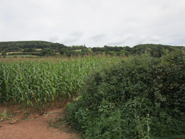
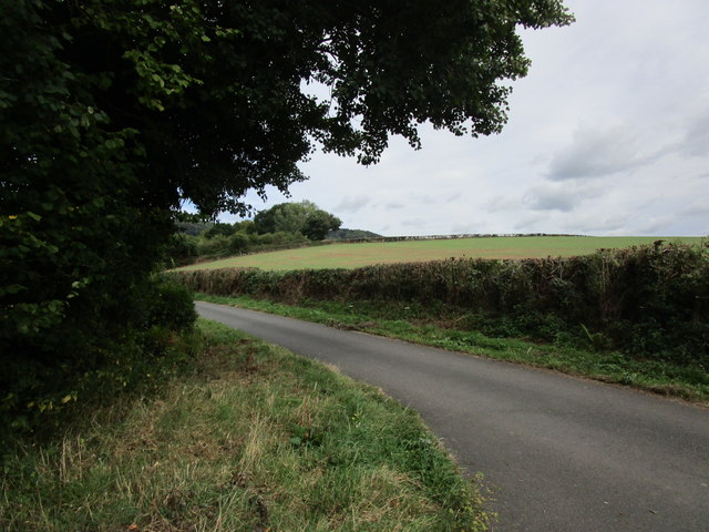
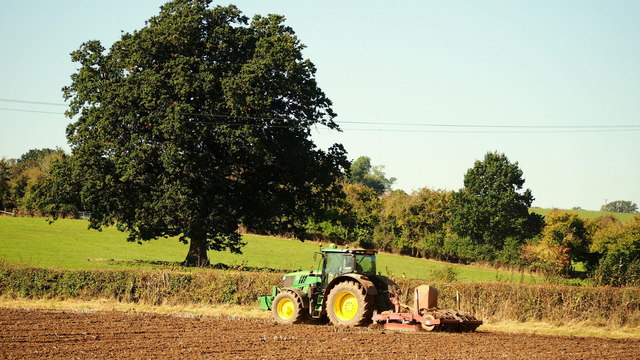
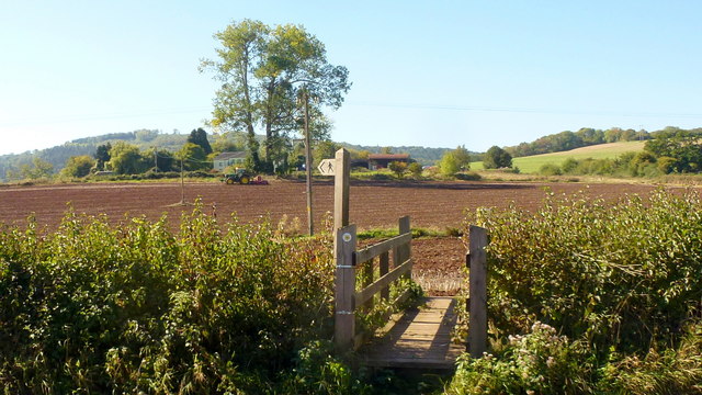
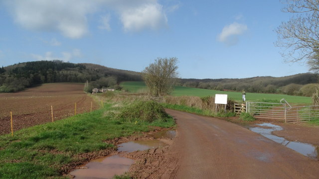
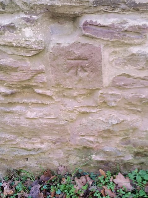
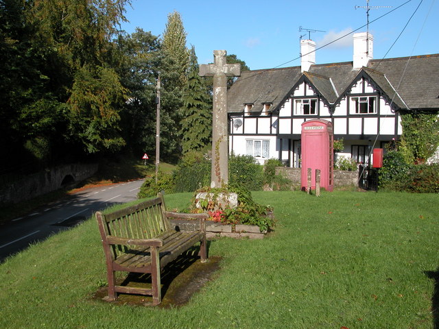
Black Wood Images
Images are sourced within 2km of 51.828572/-2.7477543 or Grid Reference SO4814. Thanks to Geograph Open Source API. All images are credited.


Black Wood is located at Grid Ref: SO4814 (Lat: 51.828572, Lng: -2.7477543)
Unitary Authority: Monmouthshire
Police Authority: Gwent
What 3 Words
///wires.regulates.storming. Near Monmouth, Monmouthshire
Nearby Locations
Related Wikis
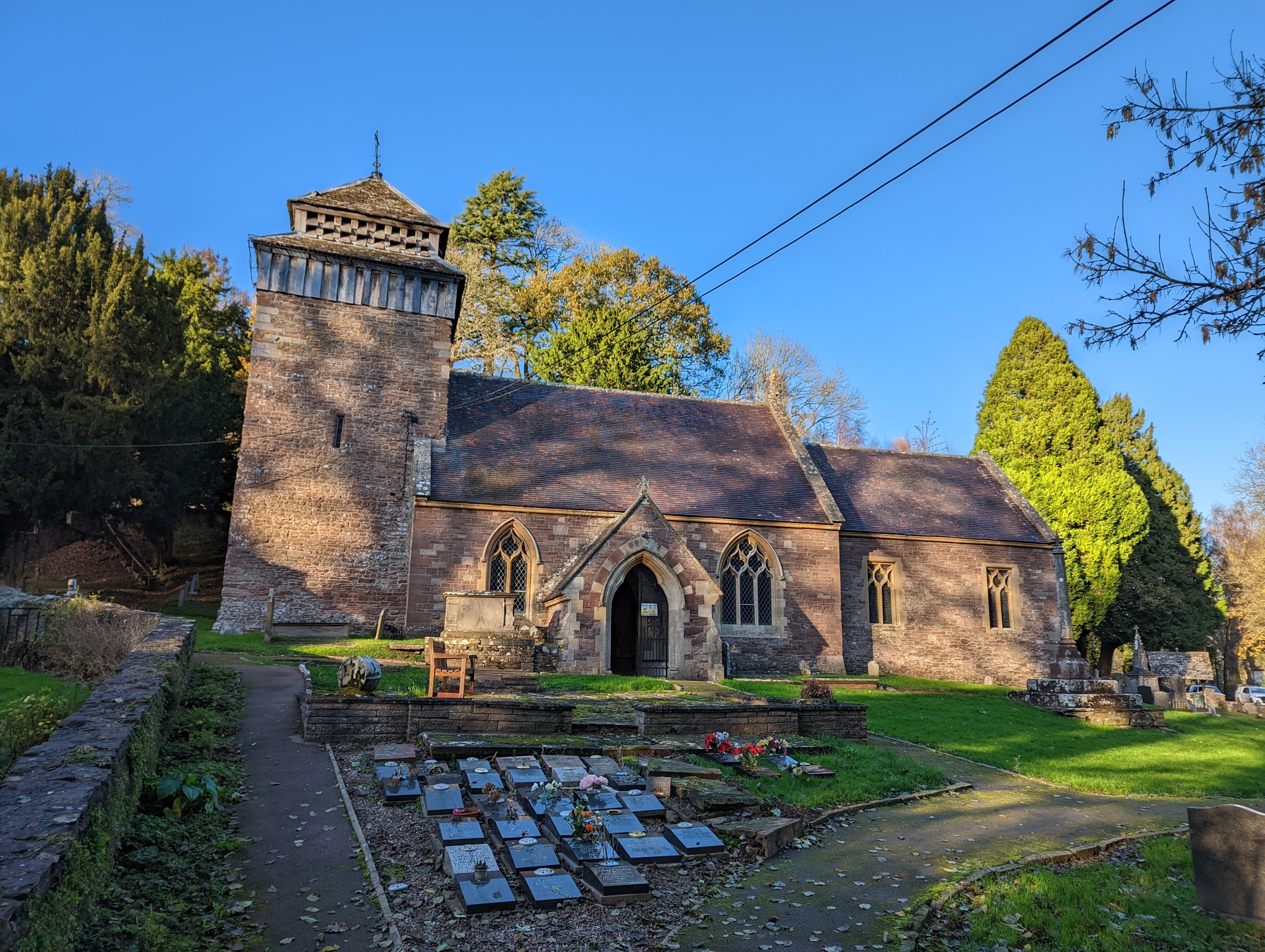
St Cenedlon's Church, Rockfield
St Cenedlon's is a parish church in the village of Rockfield, Monmouthshire, Wales. The dedication to St Cenedlon is unusual and the history of the saint...
Rockfield, Monmouthshire
Rockfield is a small village in the community of Whitecastle, Monmouthshire, Southeast Wales. It is located beside the River Monnow, about 2 miles (3...

Pentwyn, Rockfield
Pentwyn, Rockfield, Monmouthshire is a Victorian villa dating from the mid 19th century. Its origins are older but the present building was constructed...
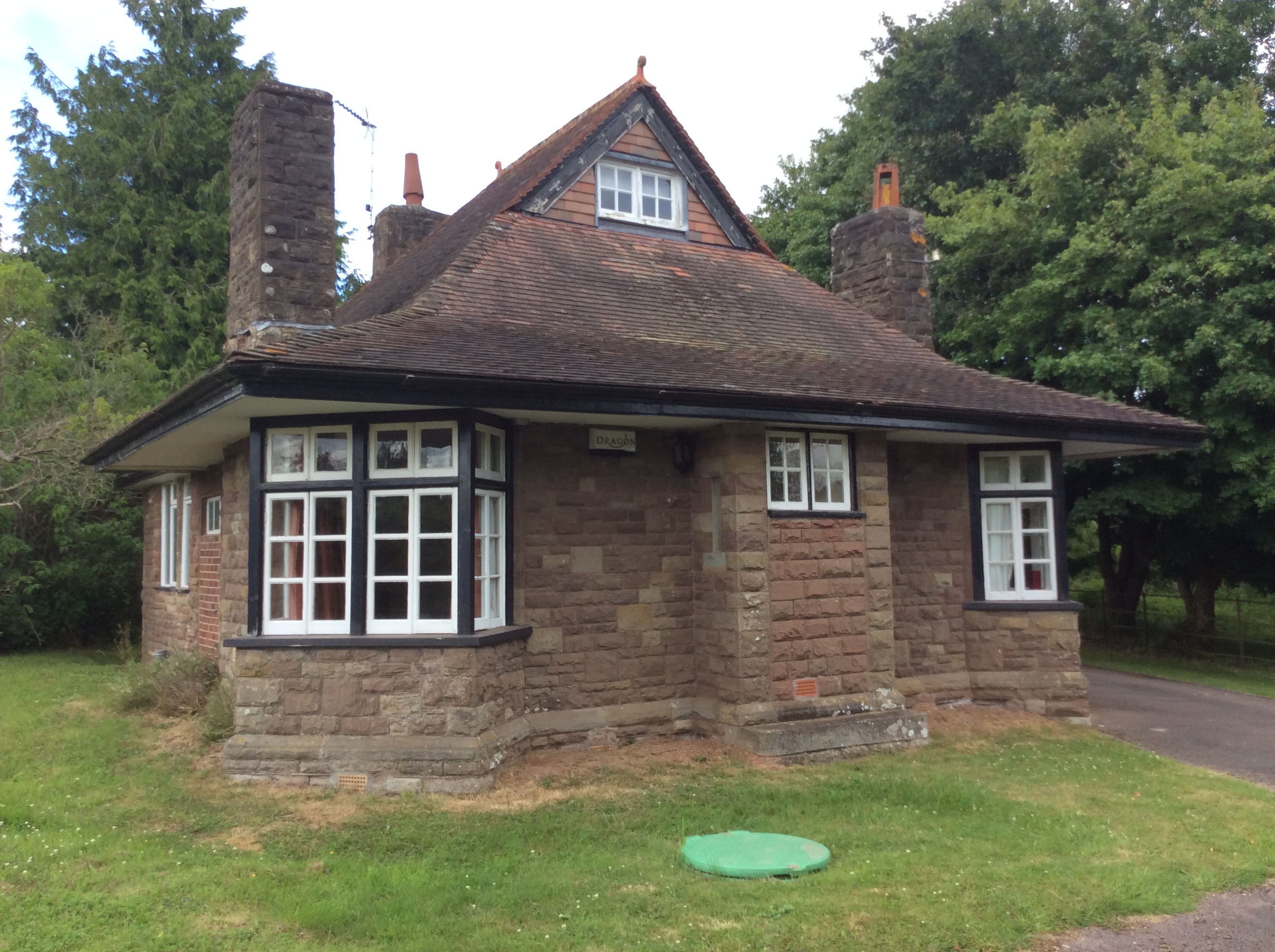
Swiss Cottage, Rockfield
The Swiss Cottage, Rockfield, Monmouthshire is a gatehouse to The Hendre estate and was designed by Sir Aston Webb in 1905. It is a Grade II* listed building...
Nearby Amenities
Located within 500m of 51.828572,-2.7477543Have you been to Black Wood?
Leave your review of Black Wood below (or comments, questions and feedback).