Calford Green

Settlement in Essex West Suffolk

England

Calford Green

Sturmer: snowdrops and former railway bridge This bridge once carried the Cambridge-Colchester Stour Valley railway line. The trackbed is now a path. The Shelford-Sudbury section of the railway closed in 1967.
Sturmer: snowdrops and former railway bridge Credit: John Sutton

Calford Green is a small village located in the county of Essex, in the eastern part of England. Situated approximately 10 miles northwest of the city of Chelmsford, Calford Green is known for its picturesque countryside and charming rural atmosphere.

The village is home to a tight-knit community of around 500 residents. The local economy primarily revolves around agriculture, with several farms scattered throughout the area. Calford Green is surrounded by rolling hills and farmland, offering breathtaking views of the English countryside.

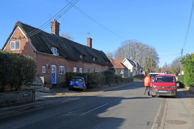
The village itself is characterized by a mix of traditional and modern architecture. Many of the houses are quaint cottages made of red brick or timber, while newer developments have introduced more contemporary designs. Calford Green boasts a peaceful and tranquil environment, making it an attractive place for those seeking a quieter way of life.

While Calford Green may be small, it offers a range of amenities to its residents. These include a village hall, a primary school, and a local pub, which serves as a popular gathering spot for locals. The village is also well-connected to nearby towns and cities, with good road links and public transportation options available.

In terms of recreational activities, Calford Green benefits from its proximity to the beautiful Essex countryside. Residents can enjoy leisurely walks or bike rides along the numerous footpaths and bridleways that crisscross the area. Additionally, the village is within driving distance of several nature reserves and parks, offering opportunities for outdoor pursuits.

Overall, Calford Green provides an idyllic and peaceful setting for its residents, with its rural charm and proximity to nature making it a desirable place to call home.

If you have any feedback on the listing, please let us know in the comments section below.

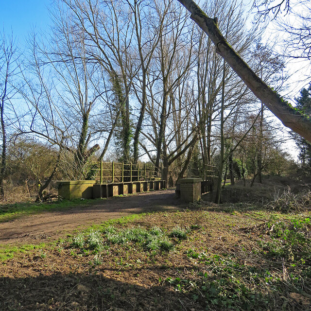
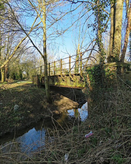
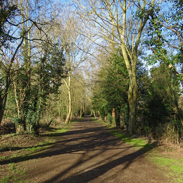
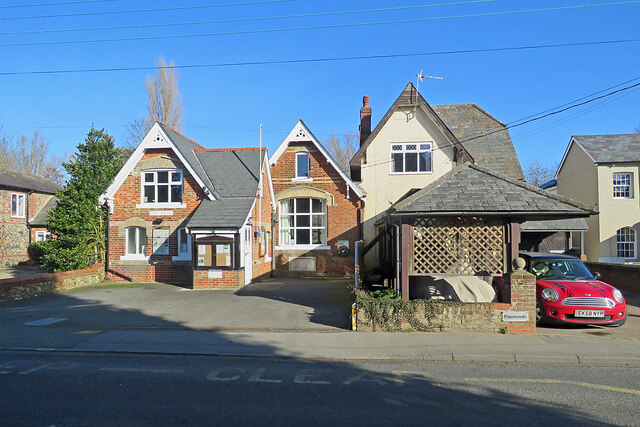
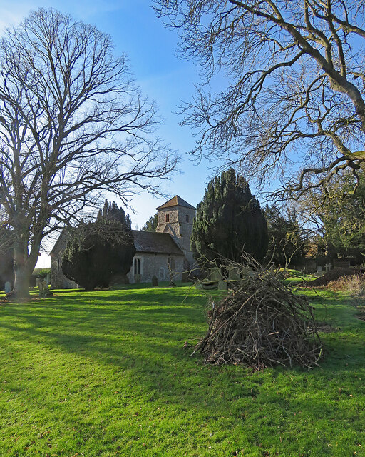
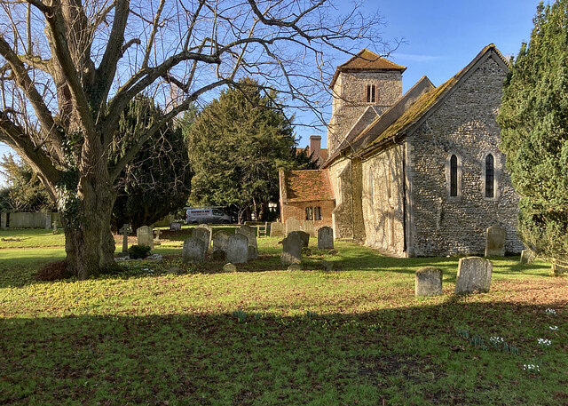
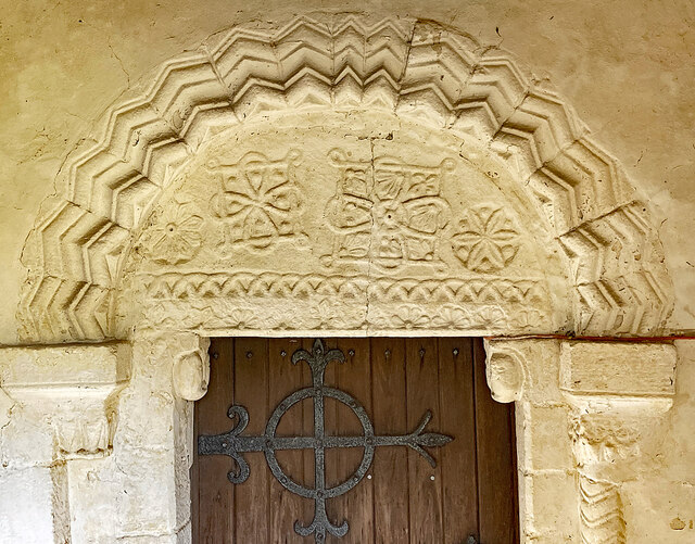
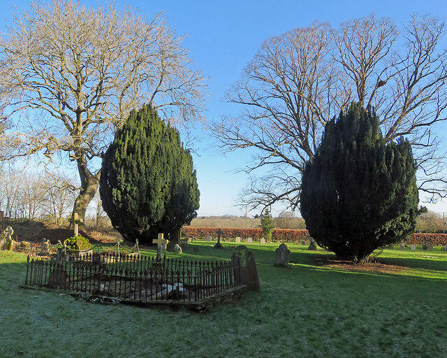
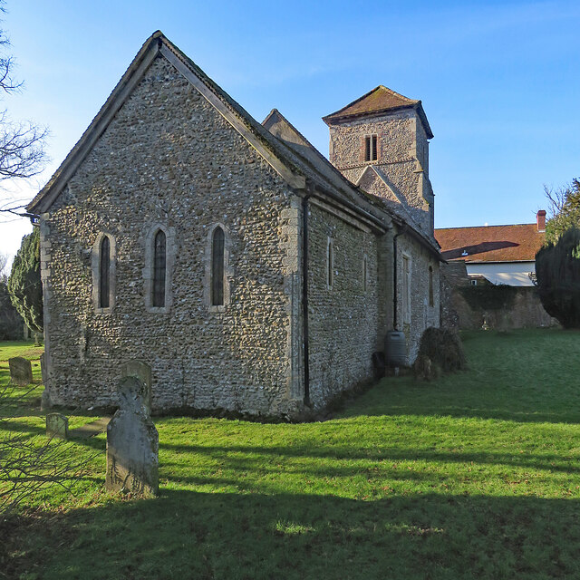
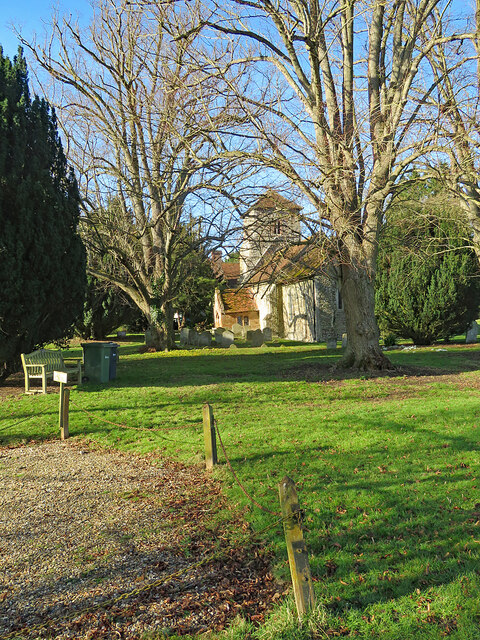
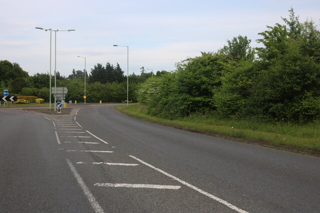
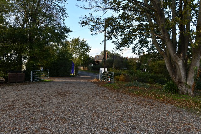
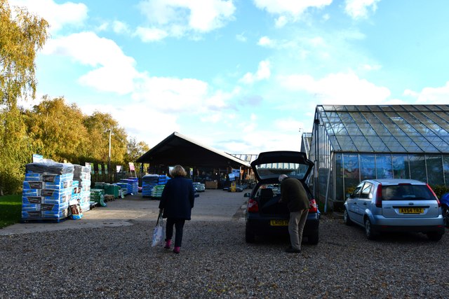
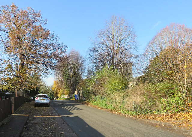
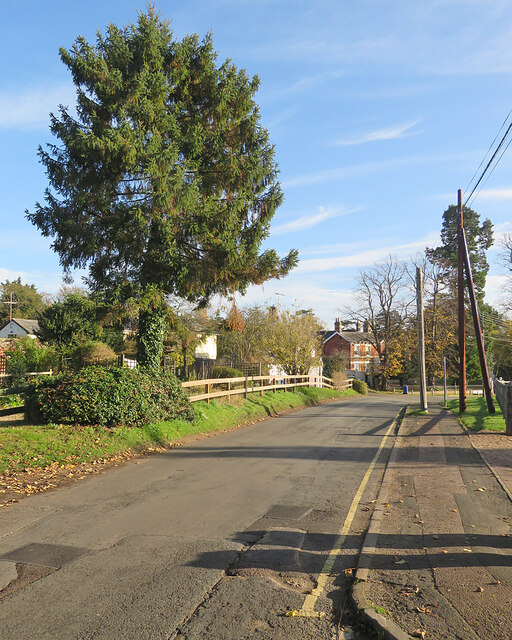
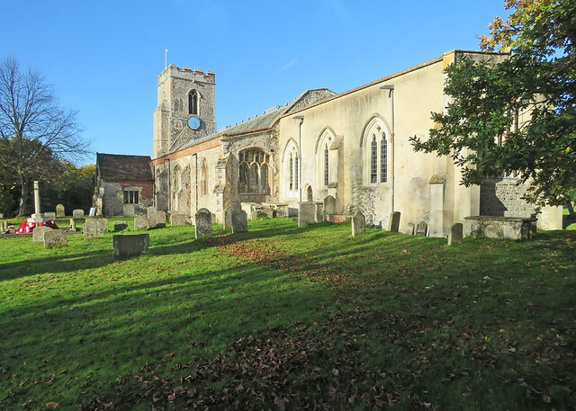
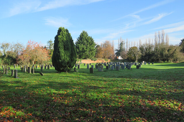
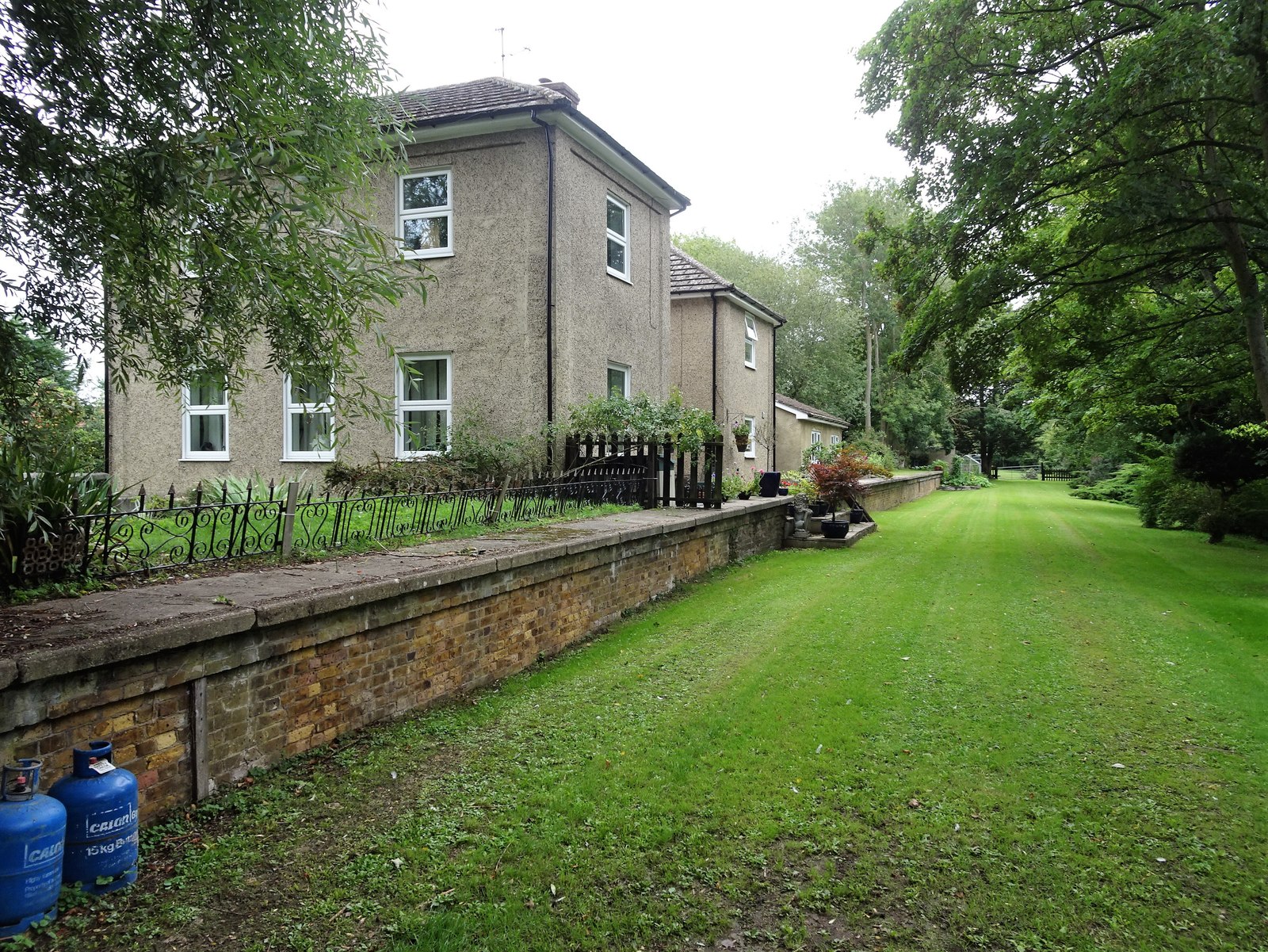
Calford Green Images

Images are sourced within 2km of 52.079557/0.4783171 or Grid Reference TL6945. Thanks to Geograph Open Source API. All images are credited.

Sturmer: snowdrops and former railway bridge This bridge once carried the Cambridge-Colchester Stour Valley railway line. The trackbed is now a path. The Shelford-Sudbury section of the railway closed in 1967.
Sturmer: snowdrops and former railway bridge
This bridge once carried the Cambridge-Colchester Stour Valley railway line. The trackbed is now a path. The Shelford-Sudbury section of the railway closed in 1967.
Sturmer: former Great Eastern Railway bridge This bridge over Stour Brook, a tributary of the River Stour, once carried the Cambridge-Colchester Stour Valley railway line. The trackbed is now a path. The Shelford-Sudbury section of the railway closed in 1967.
Sturmer: former Great Eastern Railway bridge
This bridge over Stour Brook, a tributary of the River Stour, once carried the Cambridge-Colchester Stour Valley railway line. The trackbed is now a path. The Shelford-Sudbury section of the railway closed in 1967.
Sturmer: once a railway This path follows the trackbed of the Cambridge-Colchester Stour Valley railway line. The Shelford-Sudbury section of the railway closed in 1967.
Sturmer: once a railway
This path follows the trackbed of the Cambridge-Colchester Stour Valley railway line. The Shelford-Sudbury section of the railway closed in 1967.
Sturmer Village Hall Victorian red brick, photographed from the other side of the A1017 on a bright February morning.
Sturmer Village Hall
Victorian red brick, photographed from the other side of the A1017 on a bright February morning.
Sturmer: pretty cottages and the postman A thatched red-brick row on the main road, the A1017, photographed on a brilliant February morning.
Sturmer: pretty cottages and the postman
A thatched red-brick row on the main road, the A1017, photographed on a brilliant February morning.
Sturmer churchyard in February The parish church stands apart from the village, next to Sturmer Hall. For more about the ancient Grade I listed St Mary's, see <span class="nowrap"><a title="https://britishlistedbuildings.co.uk/101122274-parish-church-of-st-mary-the-virgin-sturmer#.YgeiO9-nwt8" rel="nofollow ugc noopener" href="https://britishlistedbuildings.co.uk/101122274-parish-church-of-st-mary-the-virgin-sturmer#.YgeiO9-nwt8">Link</a><img style="margin-left:2px;" alt="External link" title="External link - shift click to open in new window" src="https://s1.geograph.org.uk/img/external.png" width="10" height="10"/></span> .
Sturmer churchyard in February
The parish church stands apart from the village, next to Sturmer Hall. For more about the ancient Grade I listed St Mary's, see LinkExternal link .
Sturmer: St Mary The sunny side of the parish church at 10.30 on a cloudless February morning.

The Grade I listing text begins “Parish church, early C11 and later. Flint and pebble rubble with dressings of limestone and clunch, porch of red brick, roofs of handmade red clay tiles. Nave early C11, chancel C12, W tower C14, S porch early C16, all well restored in C19” and ends “This is a good example of a simple parish church of early date, well maintained, its character unaffected by elaborate fittings or monuments.”

For the full text, see <span class="nowrap"><a title="https://britishlistedbuildings.co.uk/101122274-parish-church-of-st-mary-the-virgin-sturmer#.YgeiO9-nwt8" rel="nofollow ugc noopener" href="https://britishlistedbuildings.co.uk/101122274-parish-church-of-st-mary-the-virgin-sturmer#.YgeiO9-nwt8">Link</a><img style="margin-left:2px;" alt="External link" title="External link - shift click to open in new window" src="https://s1.geograph.org.uk/img/external.png" width="10" height="10"/></span> .
Sturmer: St Mary
The sunny side of the parish church at 10.30 on a cloudless February morning. The Grade I listing text begins “Parish church, early C11 and later. Flint and pebble rubble with dressings of limestone and clunch, porch of red brick, roofs of handmade red clay tiles. Nave early C11, chancel C12, W tower C14, S porch early C16, all well restored in C19” and ends “This is a good example of a simple parish church of early date, well maintained, its character unaffected by elaborate fittings or monuments.” For the full text, see LinkExternal link .
Sturmer: St Mary - the tympanum This is a very ancient church set some way from the village, near Sturmer Hall. The Grade I listing text concludes that it is "a good example of a simple parish church of early date, well maintained, its character unaffected by elaborate fittings or monuments.”

The south doorway, sheltered by the 16th-century brick porch, is very fine. “S doorway, early C11, with plain jambs, semi-circular tympanum forming the lintel, and grotesque head corbels (the W restored). The tympanum has an irregular design of low-relief carvings – two square interlacing patterns of different sizes, a band of interlacing arches and a band of half-flowers. Asymmetrically superimposed is an outer doorway, C12, with nook-shafts and scalloped capitals; the E shaft has chevron ornament, the W shaft is missing. The arch is semi-circular with deeply-incised chevron ornament” (listing text).
Sturmer: St Mary - the tympanum
This is a very ancient church set some way from the village, near Sturmer Hall. The Grade I listing text concludes that it is "a good example of a simple parish church of early date, well maintained, its character unaffected by elaborate fittings or monuments.” The south doorway, sheltered by the 16th-century brick porch, is very fine. “S doorway, early C11, with plain jambs, semi-circular tympanum forming the lintel, and grotesque head corbels (the W restored). The tympanum has an irregular design of low-relief carvings – two square interlacing patterns of different sizes, a band of interlacing arches and a band of half-flowers. Asymmetrically superimposed is an outer doorway, C12, with nook-shafts and scalloped capitals; the E shaft has chevron ornament, the W shaft is missing. The arch is semi-circular with deeply-incised chevron ornament” (listing text).
Sturmer churchyard: yews and bare branches The ancient parish church is surrounded by large yews and fine deciduous trees. The picture was taken on a cloudless February morning.
Sturmer churchyard: yews and bare branches
The ancient parish church is surrounded by large yews and fine deciduous trees. The picture was taken on a cloudless February morning.
Sturmer: St Mary - from the north east The shadowed side of this ancient parish church, photographed on a cloudless February morning. The three lancet windows in the east wall of the chancel date from about 1200. For the full Grade I listing text, see <span class="nowrap"><a title="https://britishlistedbuildings.co.uk/101122274-parish-church-of-st-mary-the-virgin-sturmer#.YgeiO9-nwt8" rel="nofollow ugc noopener" href="https://britishlistedbuildings.co.uk/101122274-parish-church-of-st-mary-the-virgin-sturmer#.YgeiO9-nwt8">Link</a><img style="margin-left:2px;" alt="External link" title="External link - shift click to open in new window" src="https://s1.geograph.org.uk/img/external.png" width="10" height="10"/></span> .
Sturmer: St Mary - from the north east
The shadowed side of this ancient parish church, photographed on a cloudless February morning. The three lancet windows in the east wall of the chancel date from about 1200. For the full Grade I listing text, see LinkExternal link .
Sturmer: St Mary's Church This very ancient church stands some way from the village, near Sturmer Hall, surrounded by large yews and tall deciduous trees. This view gives a good idea of the outward-leaning south wall and tilted 16th-century brick porch. The Grade I listing text ends “This is a good example of a simple parish church of early date, well maintained, its character unaffected by elaborate fittings or monuments.”

For the full text, see <span class="nowrap"><a title="https://britishlistedbuildings.co.uk/101122274-parish-church-of-st-mary-the-virgin-sturmer#.YgeiO9-nwt8" rel="nofollow ugc noopener" href="https://britishlistedbuildings.co.uk/101122274-parish-church-of-st-mary-the-virgin-sturmer#.YgeiO9-nwt8">Link</a><img style="margin-left:2px;" alt="External link" title="External link - shift click to open in new window" src="https://s1.geograph.org.uk/img/external.png" width="10" height="10"/></span> .
Sturmer: St Mary's Church
This very ancient church stands some way from the village, near Sturmer Hall, surrounded by large yews and tall deciduous trees. This view gives a good idea of the outward-leaning south wall and tilted 16th-century brick porch. The Grade I listing text ends “This is a good example of a simple parish church of early date, well maintained, its character unaffected by elaborate fittings or monuments.” For the full text, see LinkExternal link .
Roundabout at the end of the Haverhill Bypass Heading to Sturmer over the other side.
Roundabout at the end of the Haverhill Bypass
Heading to Sturmer over the other side.
Sturmer: Entrance to Garden Centre
Sturmer Garden Centre
Kedington: Mill Road The tower of the parish church shows beyond the trees on the right in a picture taken on a fine November morning.
Kedington: Mill Road
The tower of the parish church shows beyond the trees on the right in a picture taken on a fine November morning.
Kedington: along Mill Road A sunny November morning.
Kedington: along Mill Road
A sunny November morning.
Kedington: St Peter and St Paul This delightful church, full of monuments and curiosities, is "among the first four a visitor to Suffolk should see" according to Norman Scarfe in the Shell Guide (1960). In the week after Remembrance Sunday the war memorial was surrounded by poppy wreaths.
Kedington: St Peter and St Paul
This delightful church, full of monuments and curiosities, is "among the first four a visitor to Suffolk should see" according to Norman Scarfe in the Shell Guide (1960). In the week after Remembrance Sunday the war memorial was surrounded by poppy wreaths.
In Kedington churchyard This is an eastward extension of the original churchyard. The photograph was taken on a wonderful November morning.
In Kedington churchyard
This is an eastward extension of the original churchyard. The photograph was taken on a wonderful November morning.
Show me another place!

Calford Green is located at Grid Ref: TL6945 (Lat: 52.079557, Lng: 0.4783171)

Administrative County: Suffolk

District: West Suffolk

Police Authority: Suffolk

What 3 Words

///display.compacts.assess. Near Kedington, Suffolk

Related Wikis

Calford Green

Calford Green is a small hamlet situated 0.5 miles south of Kedington and two miles east of Haverhill in south-west Suffolk, United Kingdom. == External... ==

Cotton Hall

Cotton Hall is a Grade II listed stately home in the village of Kedington, Suffolk, England. It is located on the banks of the River Stour and is one of...

Haverhill Railway Walks

Haverhill Railway Walks is a 14.1 hectare Local Nature Reserve in Haverhill in Suffolk. It is owned and managed by West Suffolk Council.This is a footpath...

Sturmer railway station

Sturmer railway station was a station that served the village of Sturmer, Essex, England. It opened in 1865 on the Stour Valley Railway between Sudbury...

Nearby Amenities

Located within 500m of 52.079557,0.4783171
Calford Green
Place: hamlet
Source: npe
Wikidata: Q5019588
Lat/Long: 52.0797986/0.4777532
Post Box
Collection Times: Mo-Fr 16:15; Sa 11:30
Operator: Royal Mail
Post Box Type: lamp
Ref: CB9 38
Royal Cypher: EIIR
Royal Cypher Wikidata: Q33102113
Source: survey
Lat/Long: 52.0766057/0.4757874
Eastcotts
Naptan AtcoCode: 390050210
Naptan Bearing: N
Naptan BusStopType: CUS
Naptan CommonName: Eastcotts
Naptan Indicator: opp
Naptan Landmark: Eastcotts
Naptan NaptanCode: sufgdpjm
Naptan Street: Sturmer Road
Naptan Verified: no
Source: naptan_import
Lat/Long: 52.0795691/0.4783419
Eastcotts
Naptan AtcoCode: 390050211
Naptan Bearing: S
Naptan BusStopType: CUS
Naptan CommonName: Eastcotts
Naptan Indicator: adj
Naptan Landmark: Eastcotts
Naptan NaptanCode: sufgdpjp
Naptan Street: Sturmer Road
Naptan Verified: no
Source: naptan_import
Lat/Long: 52.0795032/0.4784842
Power: pole
Lat/Long: 52.0815354/0.4768269
Power: pole
Lat/Long: 52.0780588/0.4743084
Power: pole
Lat/Long: 52.0785632/0.4734743
Power: pole
Lat/Long: 52.0810852/0.4822074
Power: pole
Lat/Long: 52.0800517/0.4741663
Power: pole
Lat/Long: 52.0788813/0.47654
Power: pole
Lat/Long: 52.0808429/0.4850317
Power: pole
Lat/Long: 52.079328/0.4741797
Power: pole
Lat/Long: 52.0788302/0.4756817
Power: pole
Lat/Long: 52.0784198/0.4723343
Power: pole
Lat/Long: 52.0771801/0.475046
Power: pole
Lat/Long: 52.0786579/0.4742575
Power: pole
Lat/Long: 52.0812036/0.4807968
Power: pole
Lat/Long: 52.0817779/0.4738927
Power: pole
Lat/Long: 52.080962/0.4836435
Power: pole
Lat/Long: 52.0819061/0.4723694
Material: wood
Power: pole
Lat/Long: 52.0765593/0.4755581
Power: pole
Lat/Long: 52.0816687/0.4752284
Power: pole
Lat/Long: 52.0813292/0.4792999
Power: pole
Lat/Long: 52.0758729/0.4761243
Power: pole
Lat/Long: 52.0789522/0.4774547
Material: wood
Power: pole
Lat/Long: 52.0813874/0.478602
Golf: pin
Lat/Long: 52.0761947/0.4752824
The data included in this document is from www.openstreetmap.org. The data is made available under ODbL.

Have you been to Calford Green?

Leave your review of Calford Green below (or comments, questions and feedback).