Bellamy's Wood
Wood, Forest in Monmouthshire
Wales
Bellamy's Wood

Bellamy's Wood is a picturesque forest located in Monmouthshire, Wales. Covering an area of approximately 40 acres, the wood is a popular destination for nature lovers and hikers looking to explore the beautiful Welsh countryside.
The wood is home to a variety of tree species, including oak, beech, and ash, providing a diverse and vibrant habitat for wildlife. Visitors can expect to see a range of bird species, such as woodpeckers and owls, as well as small mammals like squirrels and badgers.
There are several well-marked walking trails throughout the wood, offering visitors the chance to immerse themselves in the peaceful surroundings and enjoy the sights and sounds of nature. The wood also features a picnic area, making it a great spot for a relaxing outdoor lunch.
Bellamy's Wood is easily accessible by car and is located near the town of Monmouth, making it a convenient day trip destination for both locals and tourists. Whether you're looking for a peaceful stroll through the woods or a more challenging hike, Bellamy's Wood has something to offer for everyone.
If you have any feedback on the listing, please let us know in the comments section below.
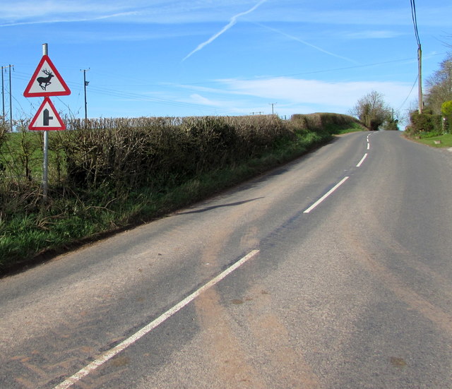
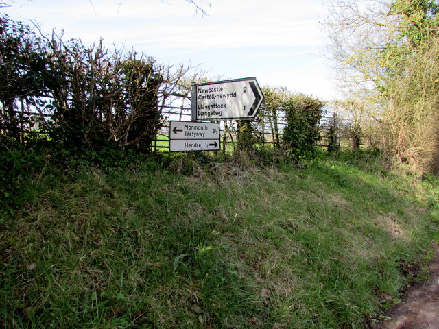
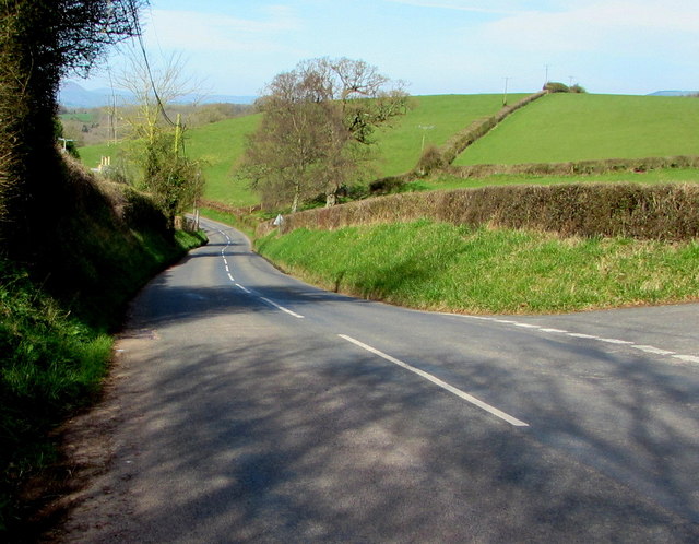
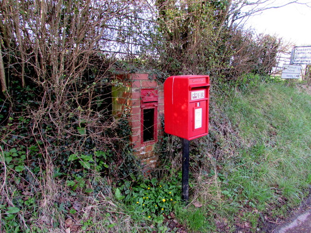
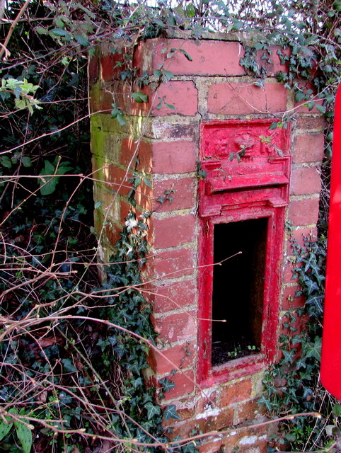
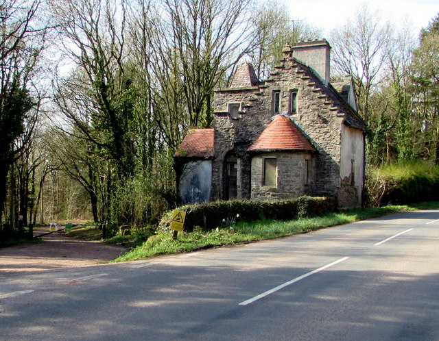
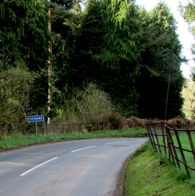
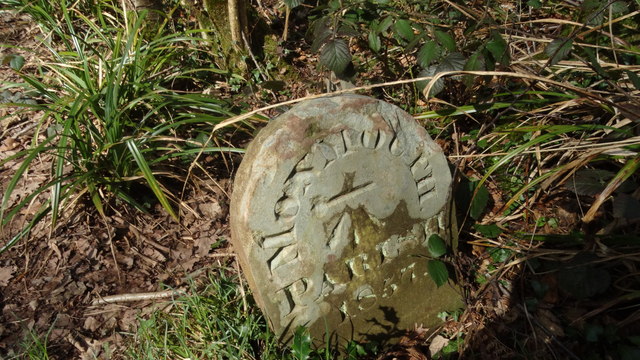
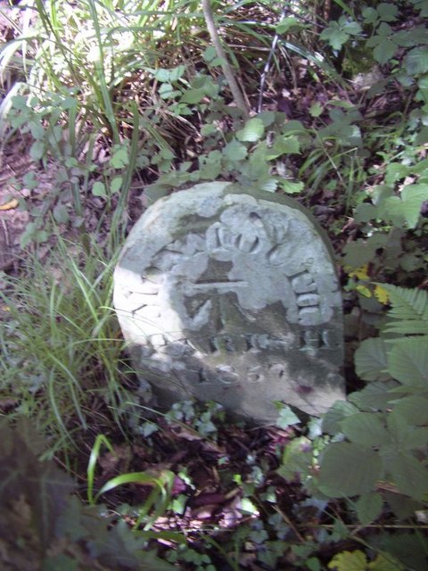
Bellamy's Wood Images
Images are sourced within 2km of 51.822689/-2.7690433 or Grid Reference SO4714. Thanks to Geograph Open Source API. All images are credited.


Bellamy's Wood is located at Grid Ref: SO4714 (Lat: 51.822689, Lng: -2.7690433)
Unitary Authority: Monmouthshire
Police Authority: Gwent
What 3 Words
///routs.entrusted.submerged. Near Monmouth, Monmouthshire
Nearby Locations
Related Wikis
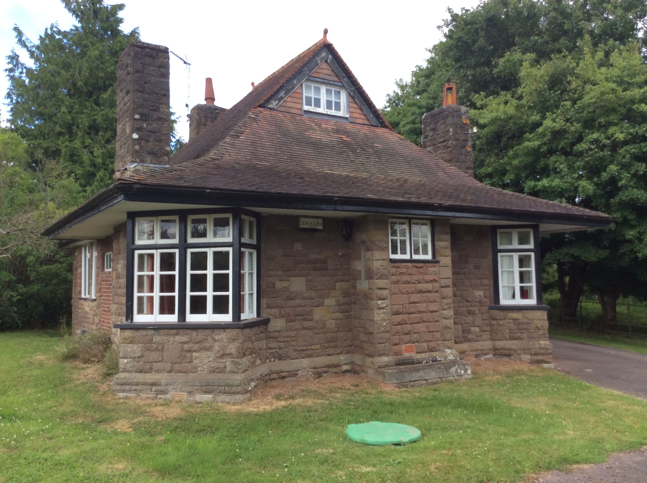
Swiss Cottage, Rockfield
The Swiss Cottage, Rockfield, Monmouthshire is a gatehouse to The Hendre estate and was designed by Sir Aston Webb in 1905. It is a Grade II* listed building...

The Hendre
The Hendre, (Welsh: Yr Hendre a farmer's winter residence; literally meaning old home) in Rockfield, is the only full-scale Victorian country house in...
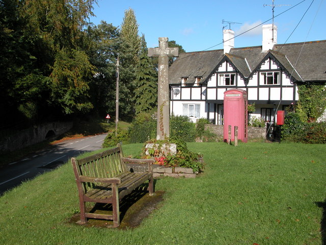
Rockfield, Monmouthshire
Rockfield is a small village in the community of Whitecastle, Monmouthshire, Southeast Wales. It is located beside the River Monnow, about 2 miles (3...
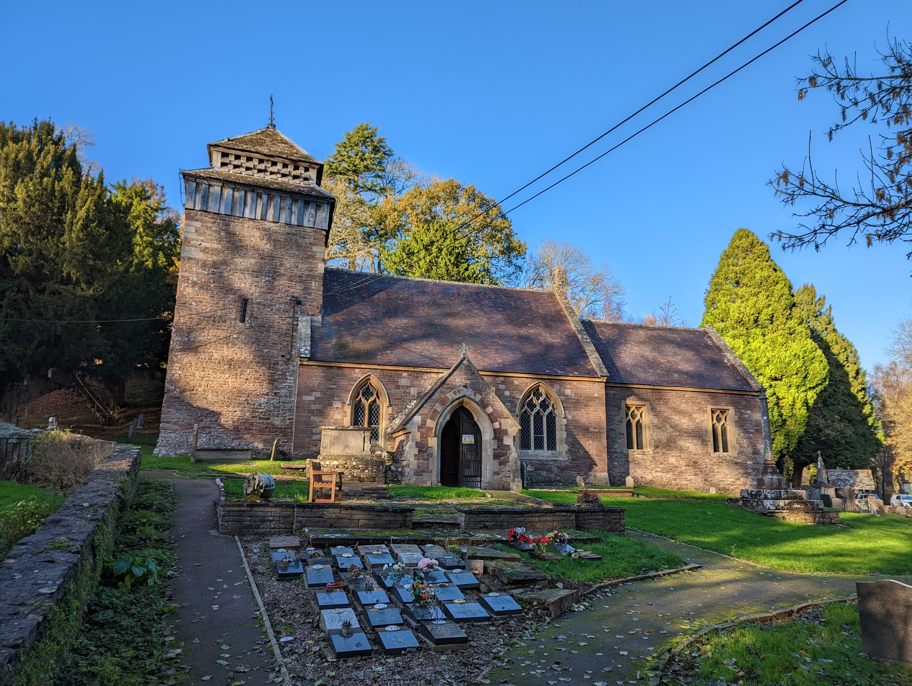
St Cenedlon's Church, Rockfield
St Cenedlon's is a parish church in the village of Rockfield, Monmouthshire, Wales. The dedication to St Cenedlon is unusual and the history of the saint...
Nearby Amenities
Located within 500m of 51.822689,-2.7690433Have you been to Bellamy's Wood?
Leave your review of Bellamy's Wood below (or comments, questions and feedback).