Upper Rodge Wood
Wood, Forest in Monmouthshire
Wales
Upper Rodge Wood
Upper Rodge Wood is a picturesque forest located in Monmouthshire, Wales. Spanning over a vast area, this woodland is known for its impressive biodiversity and serene atmosphere. The forest is situated in the eastern part of Monmouthshire, near the village of Rodge, and is easily accessible by car or on foot.
The woodland is predominantly composed of deciduous trees, such as oak, beech, and ash, which create a dense canopy overhead. This provides a cool and shaded environment, perfect for leisurely walks and exploration. The forest floor is covered in a lush carpet of moss, ferns, and wildflowers, adding to the enchanting beauty of the area.
Upper Rodge Wood is not only a haven for nature enthusiasts but also a sanctuary for a wide range of wildlife. It is home to a variety of bird species, including woodpeckers, jays, and thrushes, making it a popular spot for birdwatchers. The forest is also inhabited by small mammals such as rabbits, squirrels, and foxes, which can occasionally be spotted during a visit.
The wood offers several well-maintained walking trails, allowing visitors to explore its stunning surroundings at their own pace. These trails vary in difficulty, catering to both casual strollers and avid hikers. The forest also features a picnic area, where visitors can take a break and enjoy a packed lunch amidst the tranquil setting.
Overall, Upper Rodge Wood is a must-visit destination for those seeking a peaceful escape into nature. Its combination of diverse flora and fauna, scenic trails, and serene ambiance make it a hidden gem in Monmouthshire, offering a delightful experience for all who venture into its leafy embrace.
If you have any feedback on the listing, please let us know in the comments section below.
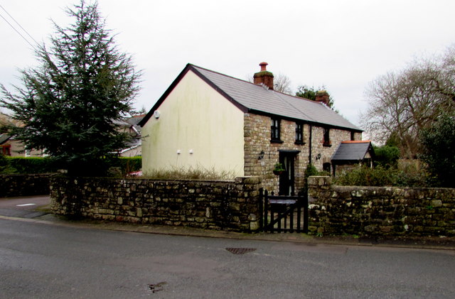
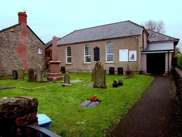
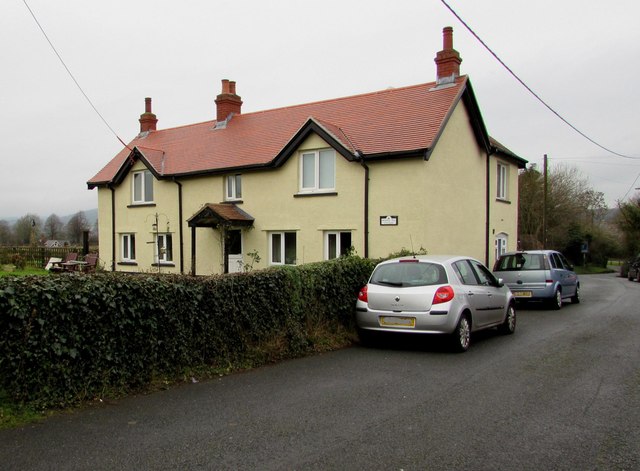
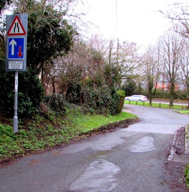
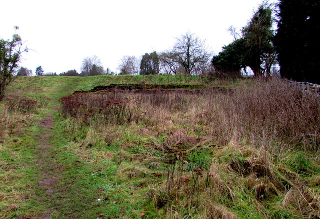
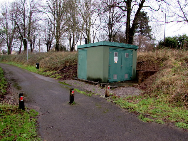
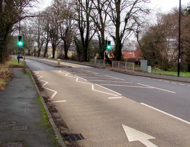
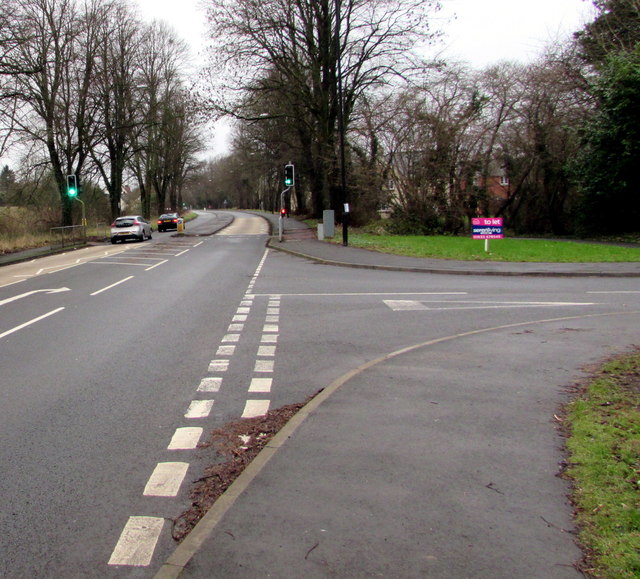
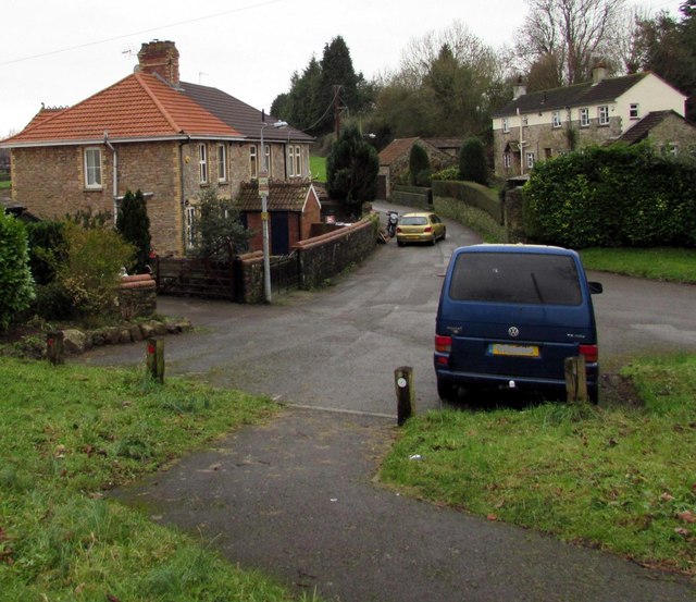
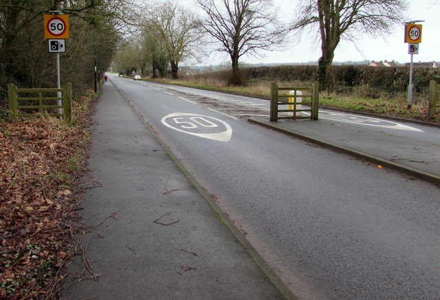
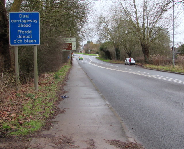
Upper Rodge Wood Images
Images are sourced within 2km of 51.606038/-2.7725239 or Grid Reference ST4689. Thanks to Geograph Open Source API. All images are credited.
Upper Rodge Wood is located at Grid Ref: ST4689 (Lat: 51.606038, Lng: -2.7725239)
Unitary Authority: Monmouthshire
Police Authority: Gwent
What 3 Words
///grape.upper.trapdoor. Near Caerwent, Monmouthshire
Nearby Locations
Related Wikis
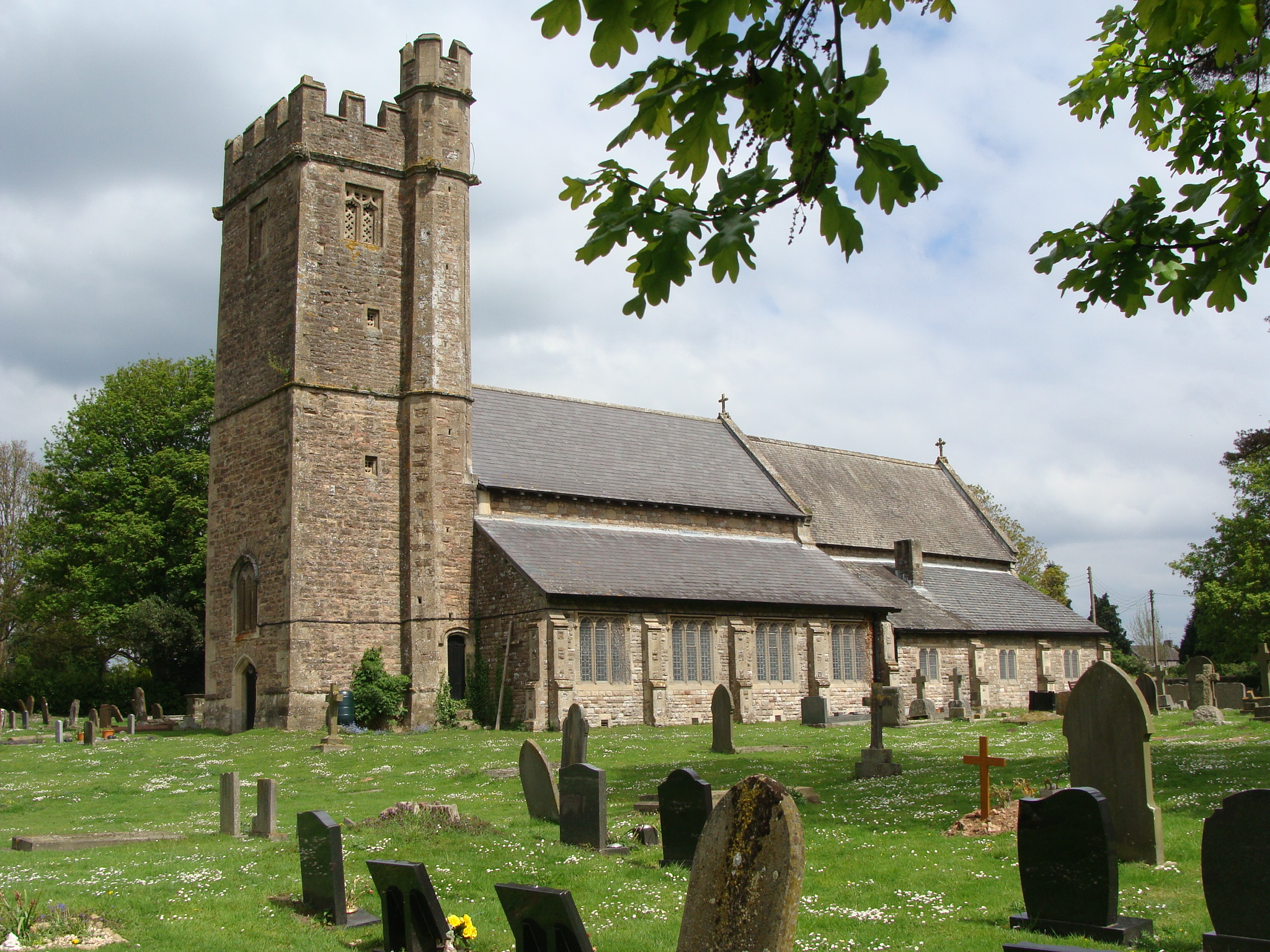
Church of St Stephen and St Tathan, Caerwent
The Church of St Stephen and St Tathan, Caerwent, Monmouthshire, is a parish church with datable origins to the 13th century. It is believed to be one...

Venta Silurum
Venta Silurum was a town in Roman Britain (Britannia). Today it consists of remains in the village of Caerwent in Monmouthshire, south east Wales. Much...

Caerwent
Caerwent (Welsh: Caer-went) is a village and community in Monmouthshire, Wales. It is located about five miles west of Chepstow and 11 miles east of Newport...
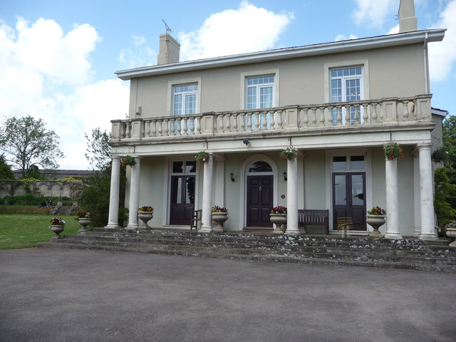
Dewstow House
Dewstow House, Caldicot, Monmouthshire, Wales, is an early nineteenth century villa in a Neoclassical style. The house is notable as the site of "one of...

Caerwent Training Area
Caerwent Training Area is a British military installation at Caerwent, Monmouthshire, Wales. The large military site is situated north of the A48 road...

Crick, Monmouthshire
Crick (Welsh: Crug) is a small village or hamlet in the Welsh county of Monmouthshire, United Kingdom. It is located on the A48 road 1 mile north of the...
Caldicot Castle (electoral ward)
Caldicot Castle is an electoral ward in the town of Caldicot, Monmouthshire, Wales. The ward elects councillors to Caldicot Town Council and Monmouthshire...
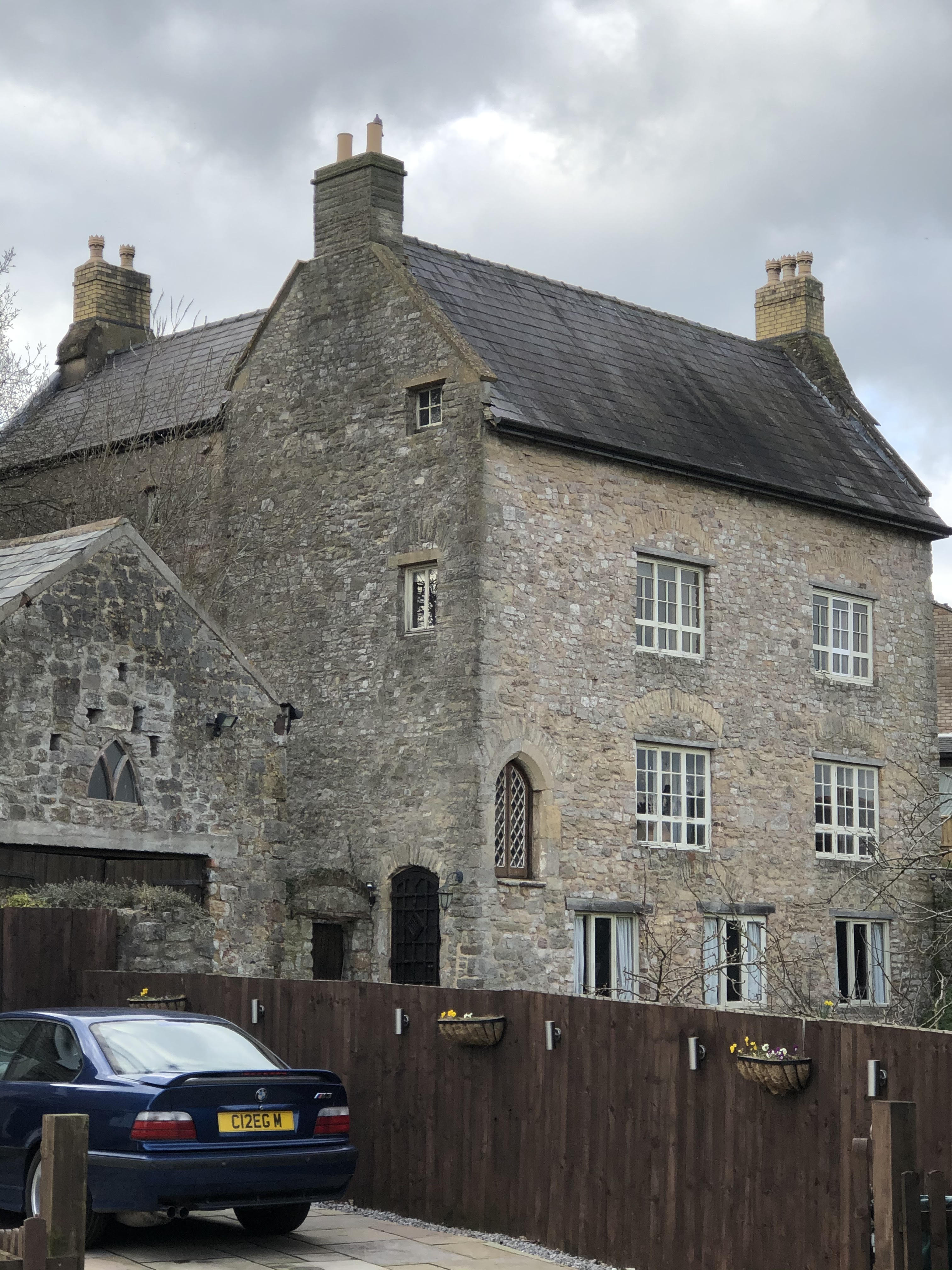
Church Farmhouse, Caldicot
Church Farmhouse, Caldicot, Monmouthshire is a substantial grange building which was a working farmhouse before 1205. It is connected to both Llanthony...
Related Videos
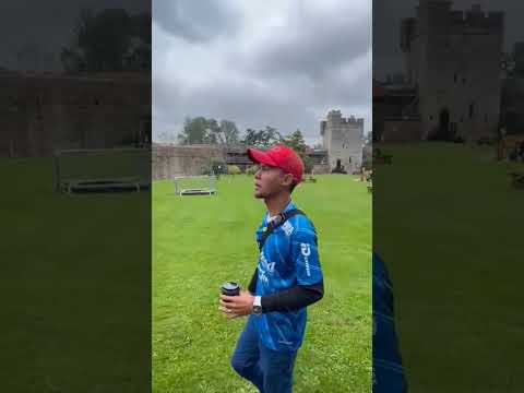
How we spent our day අපේ දවස ගෙවෙන හැටි 😲💚 #2024 #travelshorts #caldicotcastle
The spring time officially begins at mid of the march !!! Yay Time to start the traveling stuff and obsess with plans So for a start ...

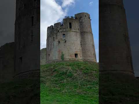
Caldicot Castle - Monmouthshire - Wales
Wales Playlist: https://www.youtube.com/playlist?list=PL3rSdzPpvGrurAmww7iPO3nJ5Y7xPfCmV Map Location: ...

Rhis Hen Boo! We ACTUALLY caught a ghost on film! #ghosts #ghosthunting #vlog #travel
spirithunting #spirits #ghosthunting101 #ghosthuntinguk #ghosthuntingtour #ghosthuntingteam.
Have you been to Upper Rodge Wood?
Leave your review of Upper Rodge Wood below (or comments, questions and feedback).