Peter's Coppice
Wood, Forest in Flintshire
Wales
Peter's Coppice
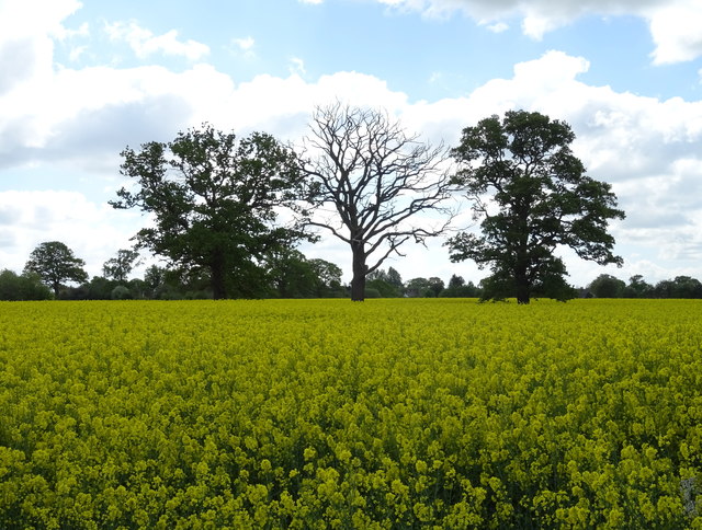
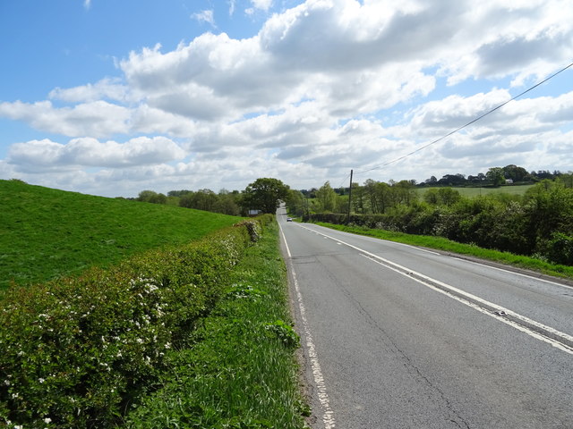
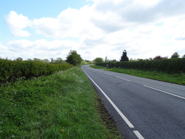
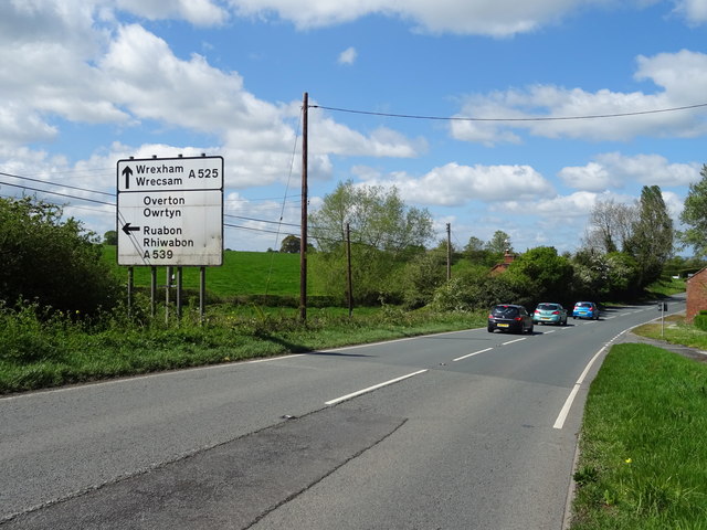
Peter's Coppice is a picturesque woodland located in Flintshire, a county in northeast Wales. Stretching over an area of approximately 50 acres, it offers a tranquil escape from the hustle and bustle of urban life. The coppice is situated near the village of Ewloe, just a short distance from the border with England.
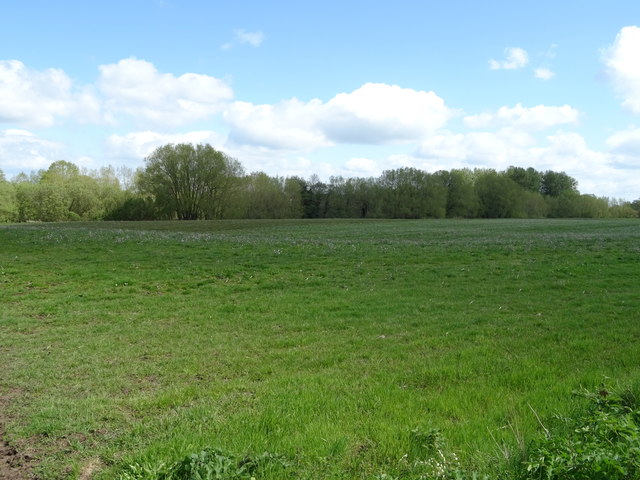
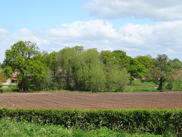
The woodland is primarily composed of a mixture of broadleaf and coniferous trees, creating a diverse and vibrant ecosystem. Ancient oak and beech trees stand tall alongside younger birch and hazel saplings, providing a rich habitat for a variety of flora and fauna. Bluebells, wild garlic, and primroses carpet the forest floor during spring, creating a breathtaking display of colors.
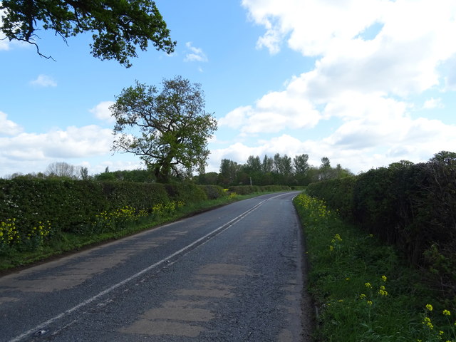
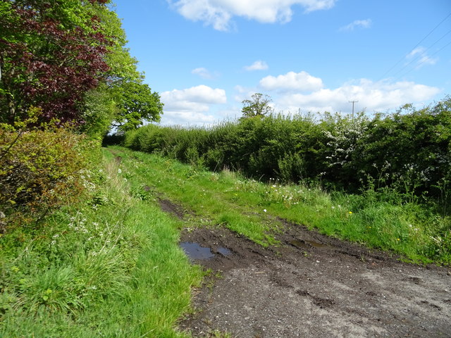
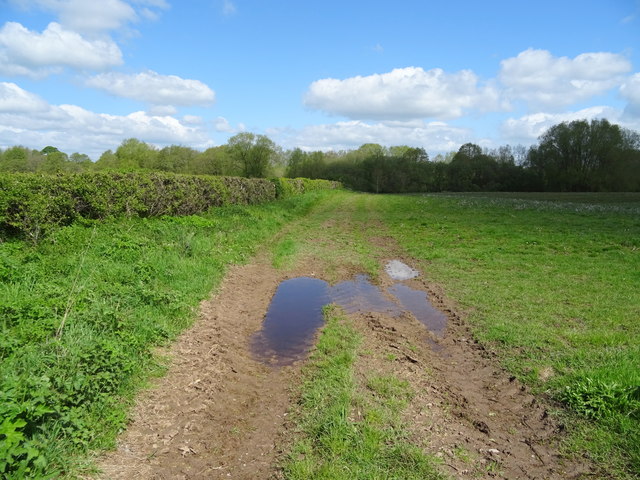
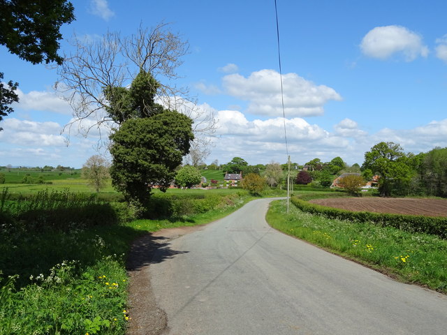
Peter's Coppice is crisscrossed with well-maintained footpaths, allowing visitors to explore its natural beauty at their own pace. As one meanders through the woods, they may come across charming streams and small ponds, adding to the enchanting atmosphere. The area is also home to a wide range of bird species, making it a popular spot for birdwatchers and nature enthusiasts.
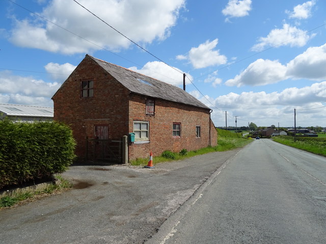
The woodland has a rich history, with evidence of human activity dating back centuries. It is believed that the coppice was once used for timber production, providing fuel and building materials for the local community. Today, it serves as a recreational space for local residents and visitors alike, offering opportunities for walking, jogging, and picnicking.
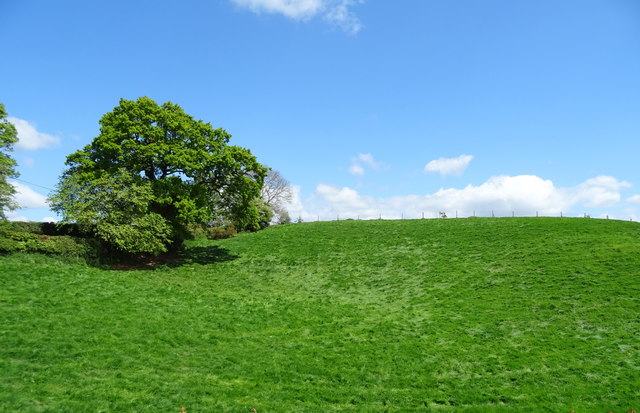
Overall, Peter's Coppice is a hidden gem in Flintshire, providing a serene and natural retreat for those seeking solace in nature's embrace.
If you have any feedback on the listing, please let us know in the comments section below.
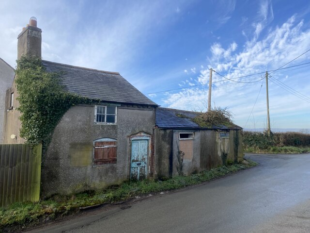
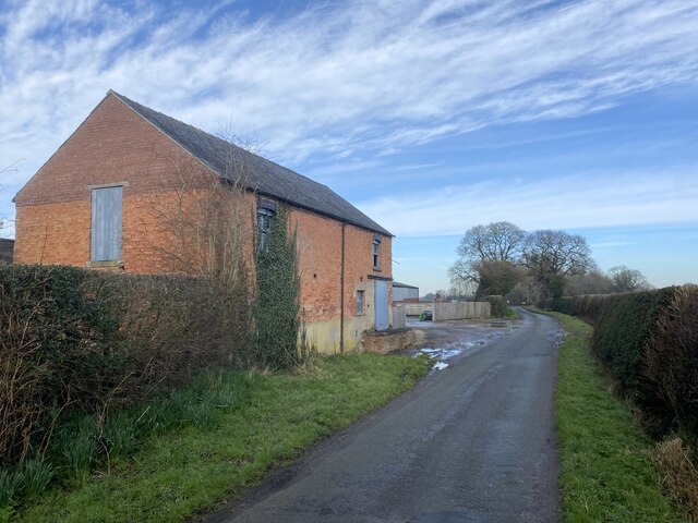
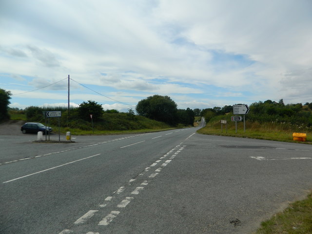
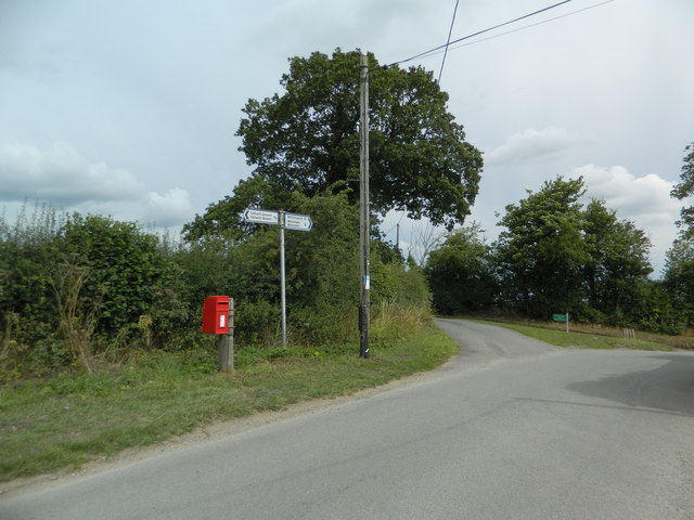
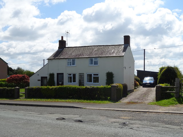
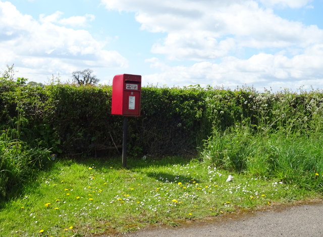
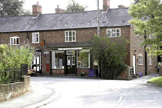
Peter's Coppice Images
Images are sourced within 2km of 52.957306/-2.8075899 or Grid Reference SJ4540. Thanks to Geograph Open Source API. All images are credited.
Peter's Coppice is located at Grid Ref: SJ4540 (Lat: 52.957306, Lng: -2.8075899)
Unitary Authority: Wrexham
Police Authority: North Wales
What 3 Words
///adjust.greed.splat. Near Malpas, Cheshire
Nearby Locations
Related Wikis
Hanmer, Wrexham
Hanmer is a village and community in Wrexham County Borough, Wales. At the 2001 Census the population of the Hanmer community area, which includes Hanmer...

Hanmer Mere
Hanmer Mere (Welsh: Llyn Hanmer) is a natural lake and Site of Special Scientific Interest in Wrexham County Borough, Wales. The village of Hanmer is at...

Arowry
Arowry (Welsh: Yr Owredd) is a village in the community of Hanmer in the rural south-east of Wrexham County Borough, Wales, near the border with England...

Horseman's Green
Horseman's Green is a village in Wrexham County Borough, Wales. Located in the rural southeast of the county borough, it is close to the Wales-England...
Nearby Amenities
Located within 500m of 52.957306,-2.8075899Have you been to Peter's Coppice?
Leave your review of Peter's Coppice below (or comments, questions and feedback).