Hardwick Plantation
Wood, Forest in Monmouthshire
Wales
Hardwick Plantation
Hardwick Plantation, located in Monmouthshire, is a beautiful woodland area known for its serene and picturesque surroundings. Covering a vast expanse of land, the plantation is home to a diverse range of flora and fauna, making it a haven for nature enthusiasts and wildlife lovers alike.
The plantation boasts a dense forest area, characterized by towering trees and lush greenery. The wood is primarily composed of oak, beech, and ash trees, which provide a rich and vibrant canopy. The forest floor is adorned with a carpet of ferns, moss, and wildflowers, creating a delightful and enchanting atmosphere.
In addition to its natural beauty, Hardwick Plantation also offers various recreational activities for visitors to enjoy. Numerous walking trails wind their way through the woodland, allowing visitors to explore and immerse themselves in the tranquility of the surroundings. These trails cater to different levels of fitness, ensuring that everyone can enjoy a leisurely stroll or a more challenging hike.
The plantation is also home to a diverse range of wildlife. Birdwatchers will be delighted to spot numerous species of birds, including woodpeckers, owls, and various songbirds, while animal enthusiasts may encounter deer, foxes, and rabbits during their visit.
Overall, Hardwick Plantation is a stunning woodland area that offers a peaceful retreat from the bustling city life. With its breathtaking scenery, well-maintained walking trails, and abundant wildlife, it is a must-visit destination for nature lovers and those seeking a tranquil escape in Monmouthshire.
If you have any feedback on the listing, please let us know in the comments section below.
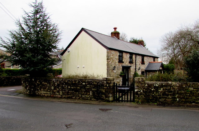
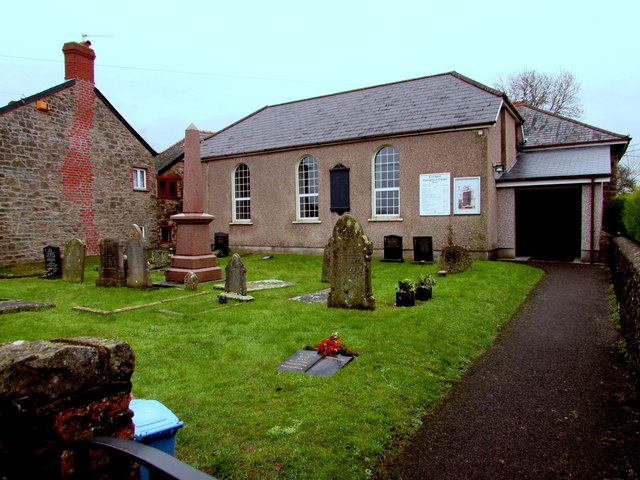
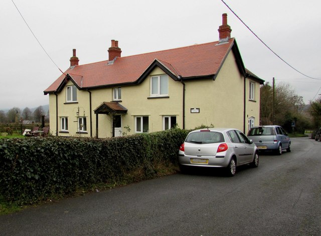
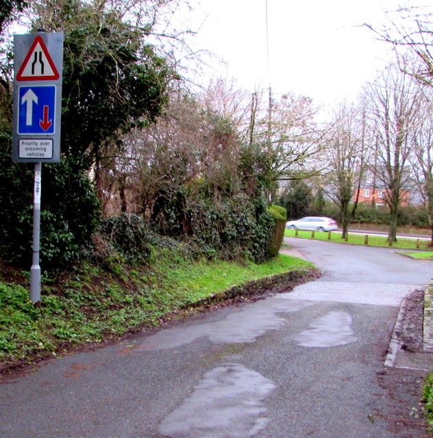
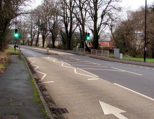
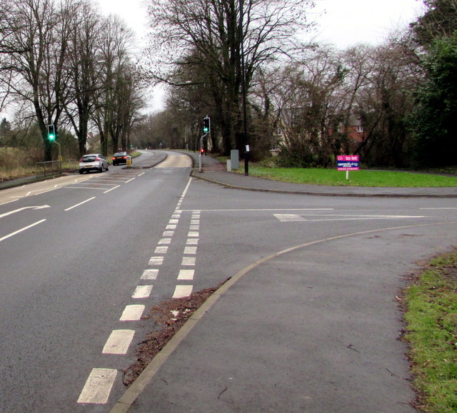
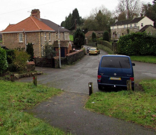
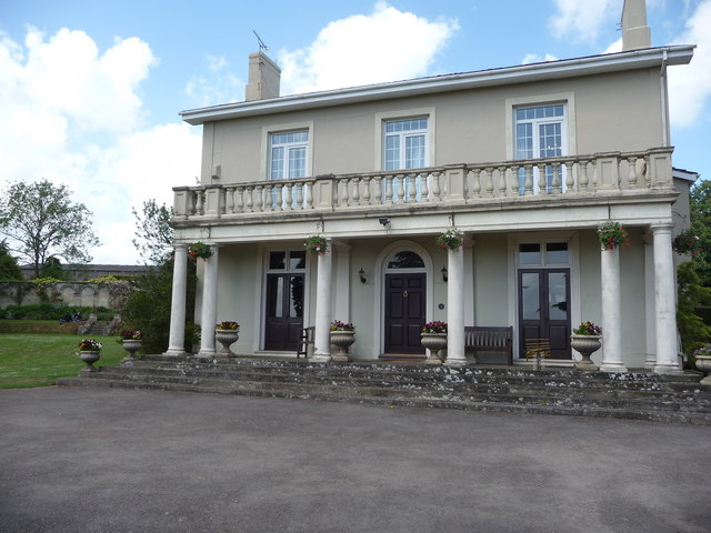
Hardwick Plantation Images
Images are sourced within 2km of 51.602289/-2.7873755 or Grid Reference ST4589. Thanks to Geograph Open Source API. All images are credited.


Hardwick Plantation is located at Grid Ref: ST4589 (Lat: 51.602289, Lng: -2.7873755)
Unitary Authority: Monmouthshire
Police Authority: Gwent
What 3 Words
///unhappily.deluded.admiral. Near Caerwent, Monmouthshire
Nearby Locations
Related Wikis

Rogiet
Rogiet (English: ) Welsh: Rhosied is a small village and community (and electoral ward) in Monmouthshire, south east Wales, between Caldicot and Magor...

Rogiet Hoard
The Rogiet Hoard is a hoard of 3,778 Roman coins found at Rogiet, Monmouthshire, Wales in September 1998. The coins dated from 253 up until 295–296. The...
Dewstow House
Dewstow House, Caldicot, Monmouthshire, Wales, is an early nineteenth century villa in a Neoclassical style. The house is notable as the site of "one of...
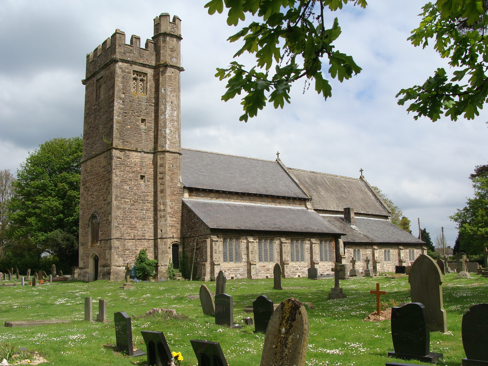
Church of St Stephen and St Tathan, Caerwent
The Church of St Stephen and St Tathan, Caerwent, Monmouthshire, is a parish church with datable origins to the 13th century. It is believed to be one...

Venta Silurum
Venta Silurum was a town in Roman Britain (Britannia). Today it consists of remains in the village of Caerwent in Monmouthshire, south east Wales. Much...

St Michael and All Angels Church, Llanfihangel Rogiet
St Michael and All Angels Church, Llanfihangel Rogiet, is a redundant church in the hamlet of Llanfihangel Rogiet near the village of Rogiet, Monmouthshire...

Rogiet Primary School
Rogiet Primary School is located in the village of Rogiet, Monmouthshire, Wales. It caters for pupils aged 4 to 11 years of age. The current catchment...

Caerwent
Caerwent (Welsh: Caer-went) is a village and community in Monmouthshire, Wales. It is located about five miles west of Chepstow and 11 miles east of Newport...
Nearby Amenities
Located within 500m of 51.602289,-2.7873755Have you been to Hardwick Plantation?
Leave your review of Hardwick Plantation below (or comments, questions and feedback).