Wern Birs

Wood, Forest in Monmouthshire

Wales

Wern Birs

Ewes and lambs Ewes and lambs in a field near New House, Wolvesnewton.
Ewes and lambs Credit: Philip Halling

The requested URL returned error: 429 Too Many Requests

If you have any feedback on the listing, please let us know in the comments section below.
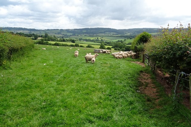
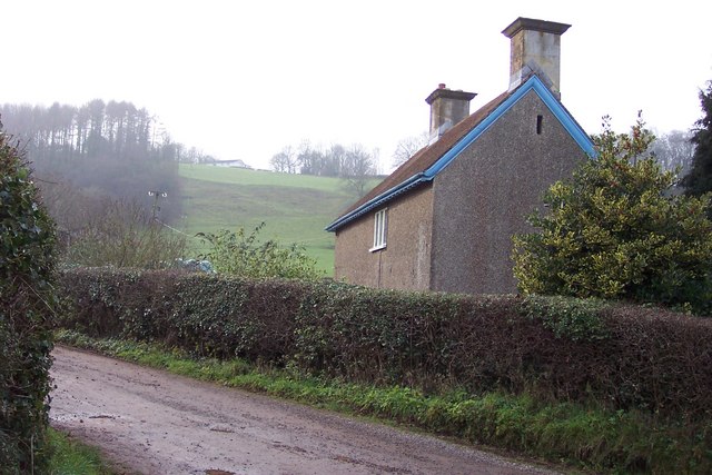
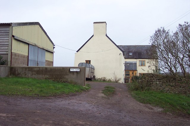
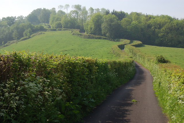
Wern Birs Images

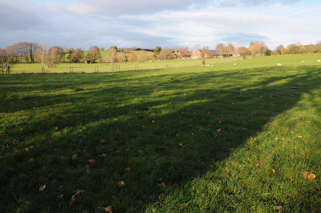
Images are sourced within 2km of 51.69766/-2.7982326 or Grid Reference SO4400. Thanks to Geograph Open Source API. All images are credited.

Ewes and lambs Ewes and lambs in a field near New House, Wolvesnewton.
Ewes and lambs
Ewes and lambs in a field near New House, Wolvesnewton.
Some of the inhabitants of Great House Farm
Wolvesnewton parish church with cross in the churchyard
New House At the top of the hill is Camp House, beside one of the many hill forts around here.
New House
At the top of the hill is Camp House, beside one of the many hill forts around here.
Phonebox on a steep country lane
The landscape of Monmouthshire Oak woodland and pasture prevail. Evocative names such as Coed y Vetna and Coed y Duke (woodlands) hint at a grand past for this quiet corner of Wales.
The landscape of Monmouthshire
Oak woodland and pasture prevail. Evocative names such as Coed y Vetna and Coed y Duke (woodlands) hint at a grand past for this quiet corner of Wales.
Lane climbing the hill near Gaer fawr View looks southwards up this steep lane towards Gaer fawr.
Lane climbing the hill near Gaer fawr
View looks southwards up this steep lane towards Gaer fawr.
Cow sheds, Great House Farm I'm assuming they are cow sheds anyway - judging by the evidence already posted here, (similar to what I saw).
Cow sheds, Great House Farm
I'm assuming they are cow sheds anyway - judging by the evidence already posted here, (similar to what I saw).
Wolvesnewton Telephone Exchange Set back from the north side of the minor road from Wolvesnewton to Llangwm.
The exchange remains in use despite its derelict appearance in October 2021.
Wolvesnewton Telephone Exchange
Set back from the north side of the minor road from Wolvesnewton to Llangwm. The exchange remains in use despite its derelict appearance in October 2021.
Narrow road through Wolvesnewton Ahead for Cobblers Plain. Behind the camera for Llansoy and Llangwm.
Narrow road through Wolvesnewton
Ahead for Cobblers Plain. Behind the camera for Llansoy and Llangwm.
Signpost opposite crossroads near Wolvesnewton Partly hidden by vegetation in October 2021, the signpost is 2 miles from Llansoy. Black arrows point the way to Wolvesnewton & Cobblers Plain and to Llangwm & Usk.
Signpost opposite crossroads near Wolvesnewton
Partly hidden by vegetation in October 2021, the signpost is 2 miles from Llansoy. Black arrows point the way to Wolvesnewton & Cobblers Plain and to Llangwm & Usk.
Information board opposite crossroads near Wolvesnewton Located here. <a title="https://www.geograph.org.uk/photo/6990798" href="https://www.geograph.org.uk/photo/6990798">Link</a>
Information board opposite crossroads near Wolvesnewton
Located here. Link
Gate across a track near Nantygelli Farm, Llangwm In rural Monmouthshire.
Gate across a track near Nantygelli Farm, Llangwm
In rural Monmouthshire.
Track towards Nantygelli Farm, Llangwm Looking east from this <a title="https://www.geograph.org.uk/photo/6990806" href="https://www.geograph.org.uk/photo/6990806">Link</a> gate.
Track towards Nantygelli Farm, Llangwm
Looking east from this Link gate.
Narrow road towards Llansoy, Monmouthshire A direction sign <a title="https://www.geograph.org.uk/photo/6990831" href="https://www.geograph.org.uk/photo/6990831">Link</a> near the camera shows Llansoy 2 (miles).
Narrow road towards Llansoy, Monmouthshire
A direction sign Link near the camera shows Llansoy 2 (miles).
Direction sign 2 miles from Llansoy, Monmouthshire The black arrow on the sign at crossroads near Wolvesnewton points towards this <a title="https://www.geograph.org.uk/photo/6990822" href="https://www.geograph.org.uk/photo/6990822">Link</a> road.
Direction sign 2 miles from Llansoy, Monmouthshire
The black arrow on the sign at crossroads near Wolvesnewton points towards this Link road.
Towards Georges Delight, Monmouthshire From crossroads near Wolvesnewton and Llangwm.
The road ahead is named Georges Delight on maps.
Towards Georges Delight, Monmouthshire
From crossroads near Wolvesnewton and Llangwm. The road ahead is named Georges Delight on maps.
Show me another place!

Wern Birs is located at Grid Ref: SO4400 (Lat: 51.69766, Lng: -2.7982326)

Unitary Authority: Monmouthshire

Police Authority: Gwent

What 3 Words

///handwriting.enough.marching. Near Llangwm, Monmouthshire

Nearby Locations

Wern Birs

Related Wikis

Church of St Thomas à Becket, Wolvesnewton

The Church of Saint Thomas à Becket in Wolvesnewton, Monmouthshire, Wales has its origins in the 13th century. Restored in the 19th century, it remains...

Wolvesnewton

Wolvesnewton (Welsh: Llanwynell) is a small village in Monmouthshire, Wales. == Location == Wolvesnewton, sometimes historically Wolves Newton, is in the...

Cwrt y Brychan barn, stable and granary

The barn, stable and granary at Cwrt y Brychan (Brecon Court), Llansoy, Monmouthshire are a range of farm buildings constructed in the 16th century. The...

Church of the Holy Cross, Kilgwrrwg

The Church of the Holy Cross, Kilgwrrwg, Monmouthshire, Wales, is an early medieval parish church that once supported a now abandoned village. A Grade...

Have you been to Wern Birs?

Leave your review of Wern Birs below (or comments, questions and feedback).