Cae'r-braen Brake

Wood, Forest in Monmouthshire

Wales

Cae'r-braen Brake

The Rock and Fountain Inn, Penhow Beside the A48.
The Rock and Fountain Inn, Penhow Credit: Eirian Evans

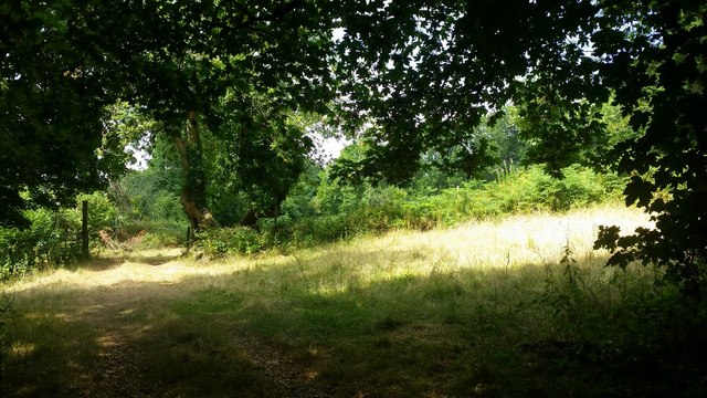
Cae'r-braen Brake, located in Monmouthshire, Wales, is a beautiful and serene woodland area that spans approximately 100 acres. Nestled in the heart of the Welsh countryside, this enchanting forest is a haven for nature lovers and outdoor enthusiasts.

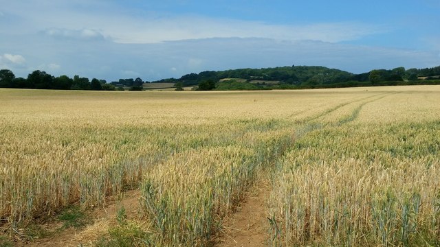
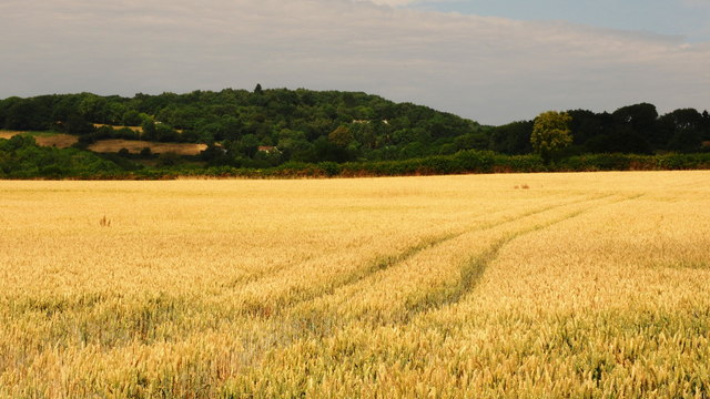
The woodland is predominantly composed of deciduous trees, including oak, ash, and beech, which create a thick canopy overhead, providing shade and shelter for a variety of flora and fauna. The forest floor is covered in a lush carpet of ferns, bluebells, and wildflowers, creating a vibrant and colorful landscape.

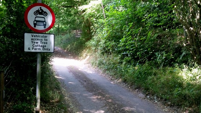
Cae'r-braen Brake offers a network of well-maintained walking trails, allowing visitors to explore the woodland at their own pace. The paths wind through the forest, leading to hidden clearings, babbling brooks, and picturesque viewpoints. The tranquil atmosphere and the melodic symphony of birdsong make it an ideal place for relaxation and reflection.

This woodland is also home to a diverse range of wildlife. Birdwatchers can spot various species, including woodpeckers, owls, and songbirds, while nature enthusiasts may encounter squirrels, badgers, and deer. The forest also supports a rich insect population, with butterflies, dragonflies, and bees buzzing around the wildflowers.

Cae'r-braen Brake is a popular destination for families, nature photographers, and those seeking solitude in nature. Its idyllic setting and abundant wildlife provide a unique opportunity to connect with the natural world and escape the hustle and bustle of everyday life. Whether you are seeking a peaceful stroll, a picnic spot, or a chance to immerse yourself in the beauty of nature, Cae'r-braen Brake will not disappoint.

If you have any feedback on the listing, please let us know in the comments section below.

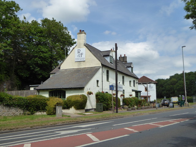
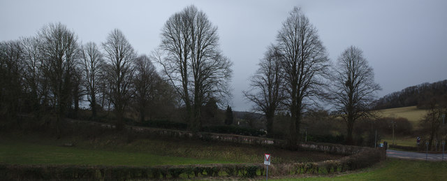
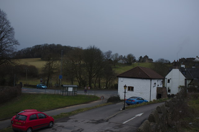
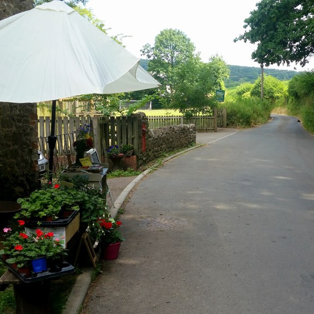
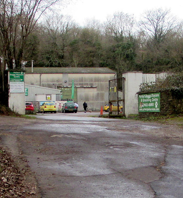
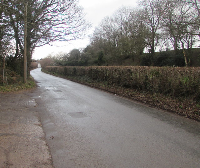
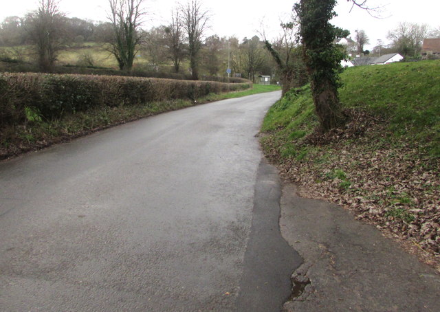
Cae'r-braen Brake Images

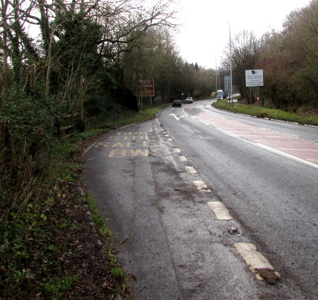
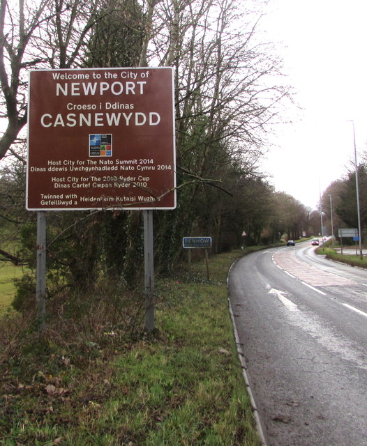
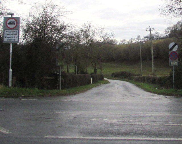
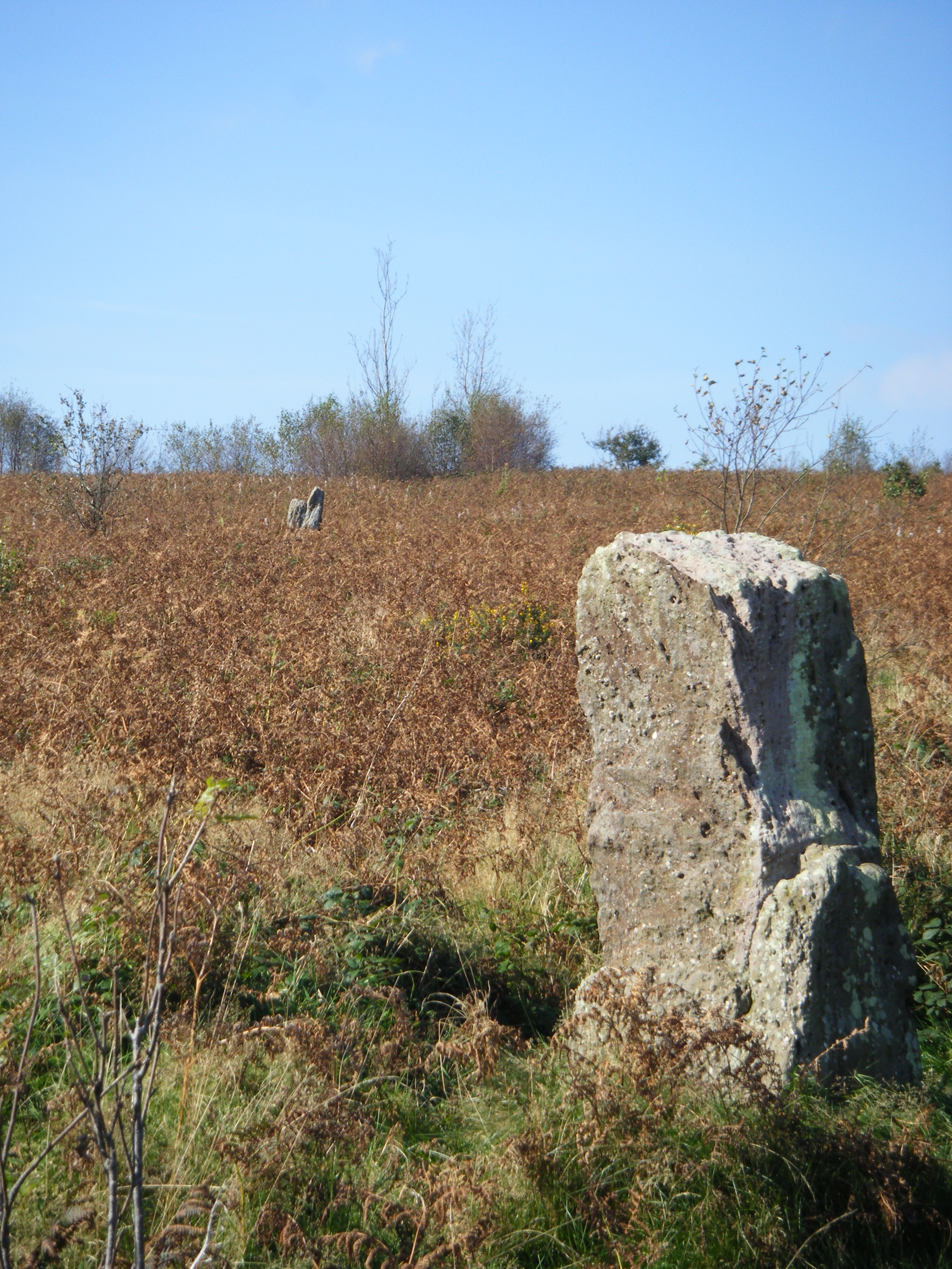
Images are sourced within 2km of 51.618709/-2.8044004 or Grid Reference ST4491. Thanks to Geograph Open Source API. All images are credited.

The Rock and Fountain Inn, Penhow Beside the A48.
The Rock and Fountain Inn, Penhow
Beside the A48.
Row of trees
Row of trees
Barn at the Rock and Fountain Inn This is an ancient monument, a 17th century barn and stable
<span class="nowrap"><a title="http://map.coflein.gov.uk/index.php?action=do_details&numlink=43361" rel="nofollow ugc noopener" href="http://map.coflein.gov.uk/index.php?action=do_details&numlink=43361">Link</a><img style="margin-left:2px;" alt="External link" title="External link - shift click to open in new window" src="https://s1.geograph.org.uk/img/external.png" width="10" height="10"/></span>
Barn at the Rock and Fountain Inn
This is an ancient monument, a 17th century barn and stable LinkExternal link
Path to the common ground Crossing a bright sunlit grassy field,
Path to the common ground
Crossing a bright sunlit grassy field,
Vehicular access Best believe it; park up here and enjoy the walk.
Vehicular access
Best believe it; park up here and enjoy the walk.
Tile House Farm The substantial building is next to the road that leads to the Gray Hill access area.
Tile House Farm
The substantial building is next to the road that leads to the Gray Hill access area.
Ripening wheat An arable field to the west of Llanfair-Discoed and east of Llanvaches.
Ripening wheat
An arable field to the west of Llanfair-Discoed and east of Llanvaches.
Ripening wheat, 2 Telephoto shot from the same spot as <a href="https://www.geograph.org.uk/photo/5849974">ST4392 : Ripening wheat</a>.
The wooded hill in the distance is at Castell-prin Wood.
Ripening wheat, 2
Telephoto shot from the same spot as ST4392 : Ripening wheat. The wooded hill in the distance is at Castell-prin Wood.
Rectory Road, Llanvaches An honesty-based sale-table is here with some very good produce and plants for sale.
Rectory Road, Llanvaches
An honesty-based sale-table is here with some very good produce and plants for sale.
Perfect Doggy Daycare & Grooming Centre, Llanvaches Set back from Pike Road, viewed in January 2019. Penhow Film Studio <a title="https://www.geograph.org.uk/photo/3935768" href="https://www.geograph.org.uk/photo/3935768">Link</a> was here in 2012.
Perfect Doggy Daycare & Grooming Centre, Llanvaches
Set back from Pike Road, viewed in January 2019. Penhow Film Studio Link was here in 2012.
Pike Road, Llanvaches Looking to the northeast along Pike Road towards Old Turnpike Cottages. <a title="https://www.geograph.org.uk/photo/3782406" href="https://www.geograph.org.uk/photo/3782406">Link</a>
Pike Road, Llanvaches
Looking to the northeast along Pike Road towards Old Turnpike Cottages. Link
Pike Road towards the A48, Llanvaches Ahead for the Rock & Fountain and Penhow.
Pike Road towards the A48, Llanvaches
Ahead for the Rock & Fountain and Penhow.
A48 bus stop, Penhow For buses to Newport.
A48 bus stop, Penhow
For buses to Newport.
Welcome to the City of Newport Facing Monmouthshire, the sign is alongside the A48 at eastern edge of the City of Newport in January 2019. The English/Welsh sign has replaced this one <a title="https://www.geograph.org.uk/photo/3359969" href="https://www.geograph.org.uk/photo/3359969">Link</a> photographed in February 2012.
Welcome to the City of Newport
Facing Monmouthshire, the sign is alongside the A48 at eastern edge of the City of Newport in January 2019. The English/Welsh sign has replaced this one Link photographed in February 2012.
Penhow - Please drive carefully Alongside the A48 at the eastern boundary of Penhow viewed in January 2019.
Now part of the City of Newport, Penhow used to be a village in Monmouthshire.
Some sources state that Pen-hŵ is Welsh for Penhow but that form is not shown here.
Penhow - Please drive carefully
Alongside the A48 at the eastern boundary of Penhow viewed in January 2019. Now part of the City of Newport, Penhow used to be a village in Monmouthshire. Some sources state that Pen-hŵ is Welsh for Penhow but that form is not shown here.
Minor road to St Brides Netherwent, Monmouthshire The 50mph speed limit increases to the National Speed Limit on the road on the  south side of the A48.
No vehicles heavier than 7.5 tonnes ahead except for access.
Minor road to St Brides Netherwent, Monmouthshire
The 50mph speed limit increases to the National Speed Limit on the road on the south side of the A48. No vehicles heavier than 7.5 tonnes ahead except for access.
End of the 50 zone, Pike Road, Llanvaches The 50mph speed limit increases to the National Speed Limit.
End of the 50 zone, Pike Road, Llanvaches
The 50mph speed limit increases to the National Speed Limit.
Monmouthshire boundary sign alongside the A48 near Penhow The A48 from Penhow in the City of Newport reaches Monmouthshire (Sir Fynwy in Welsh).
Monmouthshire boundary sign alongside the A48 near Penhow
The A48 from Penhow in the City of Newport reaches Monmouthshire (Sir Fynwy in Welsh).
Show me another place!

Cae'r-braen Brake is located at Grid Ref: ST4491 (Lat: 51.618709, Lng: -2.8044004)

Unitary Authority: Monmouthshire

Police Authority: Gwent

What 3 Words

///plank.bracelet.wriggled. Near Llanvaches, Newport

Related Wikis

Llanvair Discoed

Llanvair Discoed (Welsh: Llanfair Is Coed) is a small village in Monmouthshire, south-east Wales, 6 miles west of Chepstow and 10 miles east of Newport...

Llanvaches

Llanvaches or Llanfaches is a village and community parish within the boundaries of the city of Newport, Wales. It lies to the east of the urban area...

Penhow Castle

Penhow Castle, Penhow, Newport dates from the early 12th century. Extended and reconstructed in almost every century since, it has been claimed to be the...

Penhow

Penhow (Welsh: Pen-hŵ) is a small village and community (parish) just inside the eastern edge of the boundary of the city of Newport, South Wales, within...

Wentwood

Wentwood (Welsh: Coed Gwent), in Monmouthshire, South Wales, is a forested area of hills, rising to 1,014 feet (309 m) above sea level. It is located to...

Gray Hill, Monmouthshire

Gray Hill (Welsh: Mynydd Llwyd) is a hill immediately to the north of the village of Llanvair Discoed, Monmouthshire, South Wales, rising to 896 feet...

St. Brides Netherwent

St. Brides Netherwent (Welsh: Sant-y-brid) is a parish and largely deserted village in Monmouthshire, south-east Wales. It is centred 2 miles north of...

Penhow Woodlands National Nature Reserve

Penhow Woodlands National Nature Reserve is a national nature reserve and Site of Special Scientific Interest located in south east Wales near the village...

Nearby Amenities

Located within 500m of 51.618709,-2.8044004
Crossing
Lat/Long: 51.6164163/-2.8104337
Recycling
Five Lanes Household Waste Recycling Centre
Addr City: Caerwent
Addr Housename: Five Lanes Quarry
Addr Postcode: NP26 5PD
Addr Street: A48
Fee: no
Opening Hours: Mo-Tu 08:00-16:00; We off; Th off; Fr-Su 08:00-16:00
Operator: Monmouthshire County Council
Operator Type: council
Owner: Monmouthshire County Council
Ownership: municipal
Phone: +44 1633 644 644
Recycling Type: centre
Reservation: required
Website: https://www.monmouthshire.gov.uk/recycling-and-waste/household-waste-recycling-centres/
Lat/Long: 51.6149644/-2.8050768
The data included in this document is from www.openstreetmap.org. The data is made available under ODbL.

Have you been to Cae'r-braen Brake?

Leave your review of Cae'r-braen Brake below (or comments, questions and feedback).