Upper Seven Acres

Wood, Forest in Monmouthshire

Wales

Upper Seven Acres

Row of trees
Row of trees Credit: Bob Harvey

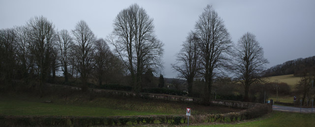
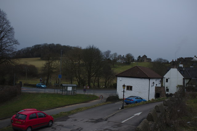
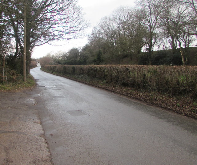
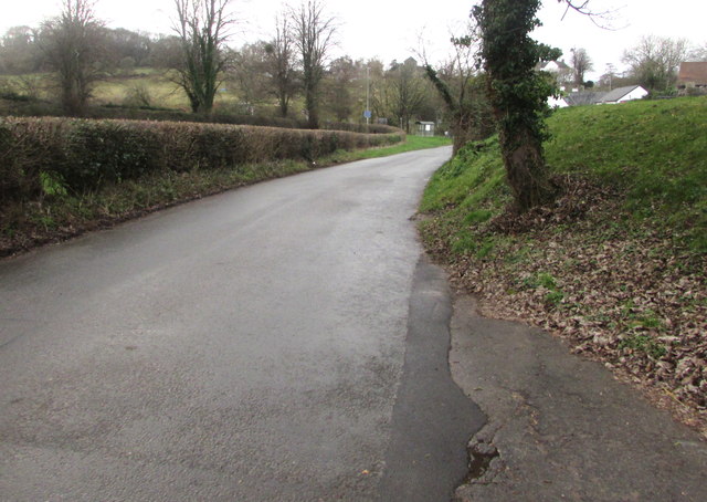
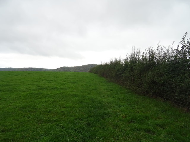
Upper Seven Acres is a stunning wooded area located in Monmouthshire, Wales. Covering approximately seven acres, this forest is a pristine natural environment teeming with a diverse range of plant and animal species. The wood is predominantly made up of tall, mature trees such as oak, beech, and ash, creating a lush canopy that provides shade and shelter for the various creatures that call this forest home.

Tranquil walking trails wind their way through Upper Seven Acres, allowing visitors to immerse themselves in the beauty of nature and explore the peaceful surroundings. Birdwatchers will delight in the opportunity to spot a variety of bird species flitting through the trees, while nature enthusiasts may come across small mammals such as squirrels and rabbits.

The forest is a popular destination for hikers, joggers, and nature lovers looking to escape the hustle and bustle of urban life and reconnect with the natural world. Whether you're seeking a peaceful stroll through the trees or a challenging hike up steep inclines, Upper Seven Acres offers something for everyone to enjoy in this picturesque corner of Monmouthshire.

If you have any feedback on the listing, please let us know in the comments section below.

Upper Seven Acres Images

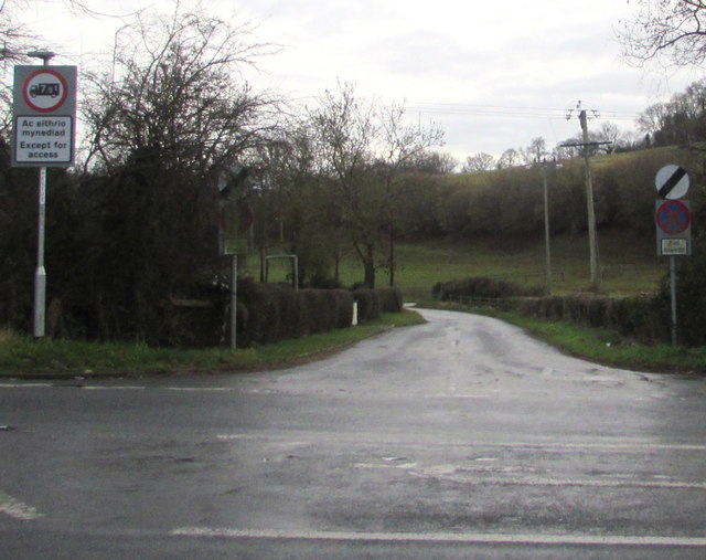
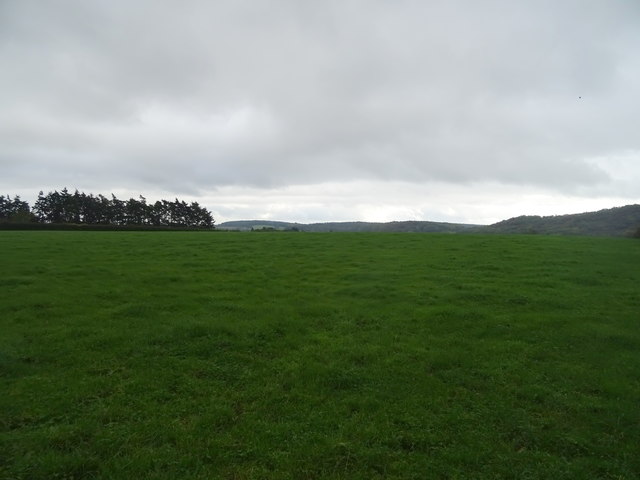
Images are sourced within 2km of 51.603511/-2.8086801 or Grid Reference ST4489. Thanks to Geograph Open Source API. All images are credited.

Row of trees
Row of trees
Barn at the Rock and Fountain Inn This is an ancient monument, a 17th century barn and stable
<span class="nowrap"><a title="http://map.coflein.gov.uk/index.php?action=do_details&numlink=43361" rel="nofollow ugc noopener" href="http://map.coflein.gov.uk/index.php?action=do_details&numlink=43361">Link</a><img style="margin-left:2px;" alt="External link" title="External link - shift click to open in new window" src="https://s1.geograph.org.uk/img/external.png" width="10" height="10"/></span>
Barn at the Rock and Fountain Inn
This is an ancient monument, a 17th century barn and stable LinkExternal link
Pike Road, Llanvaches Looking to the northeast along Pike Road towards Old Turnpike Cottages. <a title="https://www.geograph.org.uk/photo/3782406" href="https://www.geograph.org.uk/photo/3782406">Link</a>
Pike Road, Llanvaches
Looking to the northeast along Pike Road towards Old Turnpike Cottages. Link
Pike Road towards the A48, Llanvaches Ahead for the Rock & Fountain and Penhow.
Pike Road towards the A48, Llanvaches
Ahead for the Rock & Fountain and Penhow.
Minor road to St Brides Netherwent, Monmouthshire The 50mph speed limit increases to the National Speed Limit on the road on the  south side of the A48.
No vehicles heavier than 7.5 tonnes ahead except for access.
Minor road to St Brides Netherwent, Monmouthshire
The 50mph speed limit increases to the National Speed Limit on the road on the south side of the A48. No vehicles heavier than 7.5 tonnes ahead except for access.
End of the 50 zone, Pike Road, Llanvaches The 50mph speed limit increases to the National Speed Limit.
End of the 50 zone, Pike Road, Llanvaches
The 50mph speed limit increases to the National Speed Limit.
Monmouthshire boundary sign alongside the A48 near Penhow The A48 from Penhow in the City of Newport reaches Monmouthshire (Sir Fynwy in Welsh).
Monmouthshire boundary sign alongside the A48 near Penhow
The A48 from Penhow in the City of Newport reaches Monmouthshire (Sir Fynwy in Welsh).
Perfect Doggy Daycare & Grooming Centre name banner, Llanvaches Viewed in January 2019. The banner is between Pike Road and Perfect Doggy Daycare & Grooming Centre. <a title="https://www.geograph.org.uk/photo/6025075" href="https://www.geograph.org.uk/photo/6025075">Link</a>
Perfect Doggy Daycare & Grooming Centre name banner, Llanvaches
Viewed in January 2019. The banner is between Pike Road and Perfect Doggy Daycare & Grooming Centre. Link
Rock & Fountain, Penhow On the corner of the A48 and Pike Road. In January 2019 the nameboard shows
Restaurants with Rooms - Taurus Grill. <a title="https://www.geograph.org.uk/photo/6026371" href="https://www.geograph.org.uk/photo/6026371">Link</a> to the name sign on the right.
Rock & Fountain, Penhow
On the corner of the A48 and Pike Road. In January 2019 the nameboard shows Restaurants with Rooms - Taurus Grill. Link to the name sign on the right.
Rock & Fountain name sign, Penhow Hanging from the wooden frame on the right here <a title="https://www.geograph.org.uk/photo/6026368" href="https://www.geograph.org.uk/photo/6026368">Link</a> viewed in January 2019. 
The sign has replaced this one <a title="https://www.geograph.org.uk/photo/3359949" href="https://www.geograph.org.uk/photo/3359949">Link</a> photographed in February 2012.
Rock & Fountain name sign, Penhow
Hanging from the wooden frame on the right here Link viewed in January 2019. The sign has replaced this one Link photographed in February 2012.
Junction of Pike Road and the A48 east of Penhow On the left the former turnpike road Pike Road heads towards Old Turnpike Cottages. <a title="https://www.geograph.org.uk/photo/3782406" href="https://www.geograph.org.uk/photo/3782406">Link</a>
Junction of Pike Road and the A48 east of Penhow
On the left the former turnpike road Pike Road heads towards Old Turnpike Cottages. Link
A48 bus stop and shelter east of Penhow This stop on the corner of Pike Road is for buses to Chepstow.
The Monmouthshire boundary sign <a title="https://www.geograph.org.uk/photo/6025587" href="https://www.geograph.org.uk/photo/6025587">Link</a> is behind the shelter.
A48 bus stop and shelter east of Penhow
This stop on the corner of Pike Road is for buses to Chepstow. The Monmouthshire boundary sign Link is behind the shelter.
Bus stop and shelter on the A48, Penhow
Sign for the Rock & Fountain Inn, Penhow
Grazing and hedgerow near Pen-y-lan
Grazing near Pen-y-lan
Penylan Country Lodge Kennels and Cattery on the A48.
Penylan Country Lodge
Kennels and Cattery on the A48.
Penylan Lodge On the A48.
Penylan Lodge
On the A48.
Show me another place!

Upper Seven Acres is located at Grid Ref: ST4489 (Lat: 51.603511, Lng: -2.8086801)

Unitary Authority: Monmouthshire

Police Authority: Gwent

What 3 Words

///cling.contexts.botanists. Near Llanvaches, Newport

Related Wikis

St. Brides Netherwent

St. Brides Netherwent (Welsh: Sant-y-brid) is a parish and largely deserted village in Monmouthshire, south-east Wales. It is centred 2 miles north of...

Penhow Woodlands National Nature Reserve

Penhow Woodlands National Nature Reserve is a national nature reserve and Site of Special Scientific Interest located in south east Wales near the village...

Penhow Castle

Penhow Castle, Penhow, Newport dates from the early 12th century. Extended and reconstructed in almost every century since, it has been claimed to be the...

St Michael and All Angels Church, Llanfihangel Rogiet

St Michael and All Angels Church, Llanfihangel Rogiet, is a redundant church in the hamlet of Llanfihangel Rogiet near the village of Rogiet, Monmouthshire...

Have you been to Upper Seven Acres?

Leave your review of Upper Seven Acres below (or comments, questions and feedback).