Box Wood
Wood, Forest in Monmouthshire
Wales
Box Wood
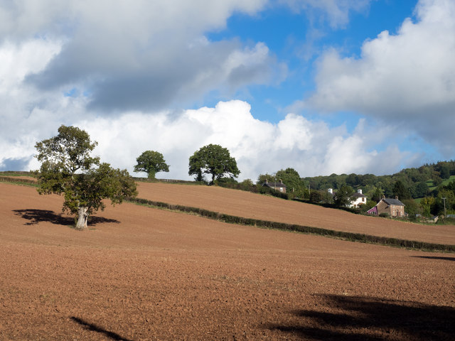
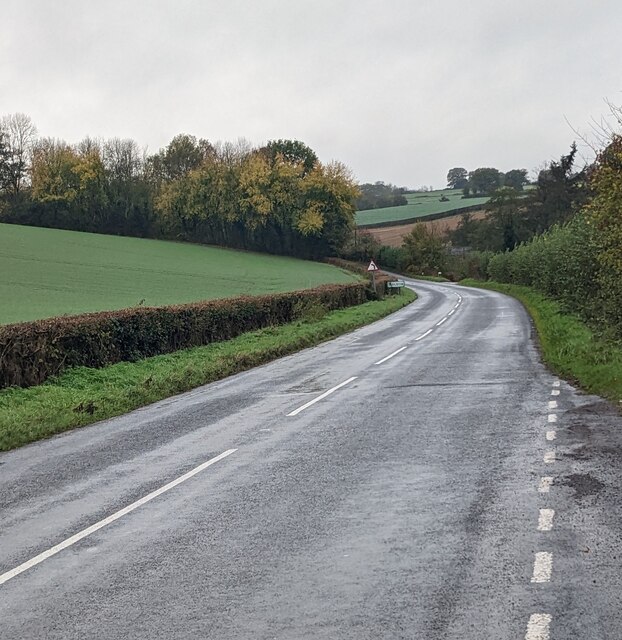
Box Wood is a small forest located in Monmouthshire, Wales. It covers an area of approximately 200 acres and is known for its dense growth of boxwood trees, which give the forest its name. The wood is situated on the western edge of the Wye Valley, offering stunning views of the surrounding countryside.
The forest is home to a diverse range of flora and fauna. The boxwood trees, which are native to the area, dominate the landscape and provide shelter and food for a variety of bird species, including woodpeckers, owls, and warblers. The forest floor is carpeted with bluebells and other wildflowers during the spring, creating a vibrant and colorful display.
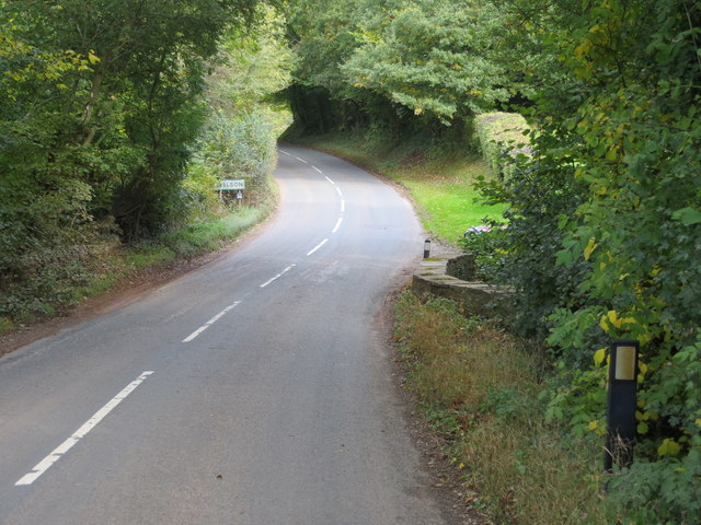
Box Wood is a popular destination for nature lovers and outdoor enthusiasts. The forest offers several walking trails that wind through the trees, allowing visitors to explore the natural beauty of the area. These trails are well-maintained and suitable for people of all ages and abilities.
In addition to its natural beauty, Box Wood also has historical significance. The forest has been managed by the local community for centuries, and evidence of ancient woodcutting and charcoal production can still be seen in some areas. The wood also played a role in the local iron industry during the 19th century.
Overall, Box Wood is a picturesque and tranquil forest that offers visitors a chance to connect with nature and enjoy the beauty of the Welsh countryside. Whether it's a leisurely stroll through the trees or a birdwatching excursion, this woodland gem has something to offer everyone.
If you have any feedback on the listing, please let us know in the comments section below.
Box Wood Images
Images are sourced within 2km of 51.890209/-2.8214462 or Grid Reference SO4321. Thanks to Geograph Open Source API. All images are credited.


Box Wood is located at Grid Ref: SO4321 (Lat: 51.890209, Lng: -2.8214462)
Unitary Authority: Monmouthshire
Police Authority: Gwent
What 3 Words
///rekindle.neater.drop. Near Grosmont, Monmouthshire
Nearby Locations
Related Wikis

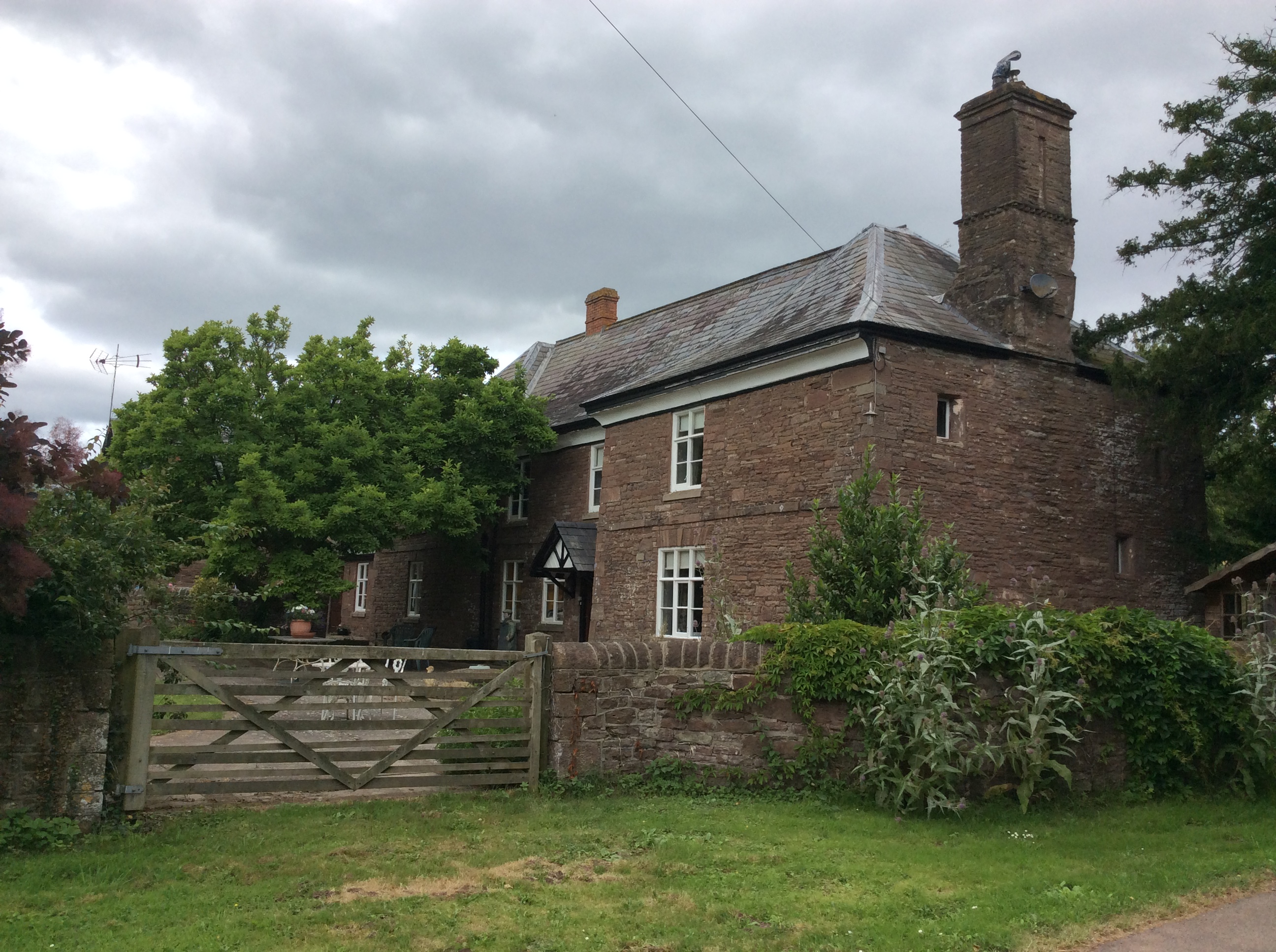
Lower Dyffryn House, Grosmont
Lower Dyffryn House, Grosmont, Monmouthshire is a farmhouse dating from the 16th century. Owned by a Sheriff of Monmouthshire in the early 1600s, it was...
Norton Court, Skenfrith
Norton Court, Norton Brook, Skenfrith, Monmouthshire is a country house dating from c.1600. Its origins are older, beginning with its ownership by the...

Archenfield
Archenfield (Old English: Ircingafeld, Middle English: "Irchenfield") is the historic English name for an area of southern and western Herefordshire in...

Battle of Pencon
The Battle of Pencon or Pencoed was a battle won by the Britons (modern Welsh), possibly against the Mercians or against themselves, around the year 720...
Nearby Amenities
Located within 500m of 51.890209,-2.8214462Have you been to Box Wood?
Leave your review of Box Wood below (or comments, questions and feedback).