Grange Wood

Wood, Forest in Monmouthshire

Wales

Grange Wood

Footpath near Carrow Hill Looking SW from position
Footpath near Carrow Hill Credit: Iain Macaulay

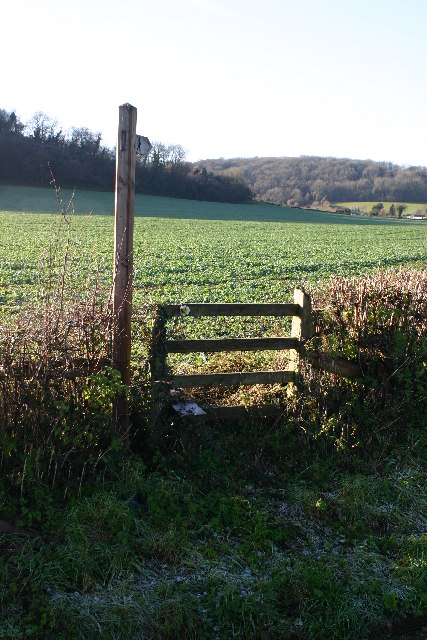
Grange Wood is a picturesque forest located in Monmouthshire, a county in southeastern Wales. Covering an area of approximately 50 acres, this wood is a haven for nature lovers and provides a tranquil escape from the hustle and bustle of urban life.

The woodland is predominantly composed of native broadleaf trees, including oak, beech, and birch, creating a rich and diverse ecosystem. The dense canopy of these trees provides shade and shelter for a variety of wildlife that call Grange Wood their home. Visitors may have the chance to spot squirrels, foxes, and various species of birds, making it a popular destination for birdwatchers and wildlife enthusiasts.

A network of well-maintained footpaths and trails wind through the wood, offering visitors the opportunity to explore its natural beauty at their own pace. These paths lead to hidden glades, babbling brooks, and secluded picnic spots, perfect for a peaceful afternoon in nature.

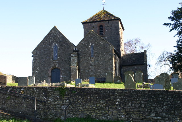
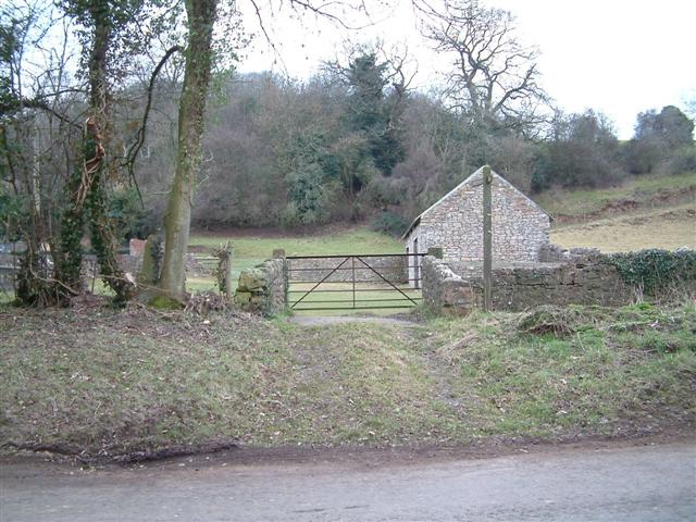
Grange Wood also has historical significance, with remnants of an old grange farm still visible within its boundaries. The farm dates back to medieval times and adds a touch of heritage to the wood, giving visitors a glimpse into the area's past.

Whether you're looking for a leisurely walk, a chance to reconnect with nature, or a glimpse into the region's history, Grange Wood in Monmouthshire offers an idyllic setting that is sure to captivate visitors of all ages and interests.

If you have any feedback on the listing, please let us know in the comments section below.
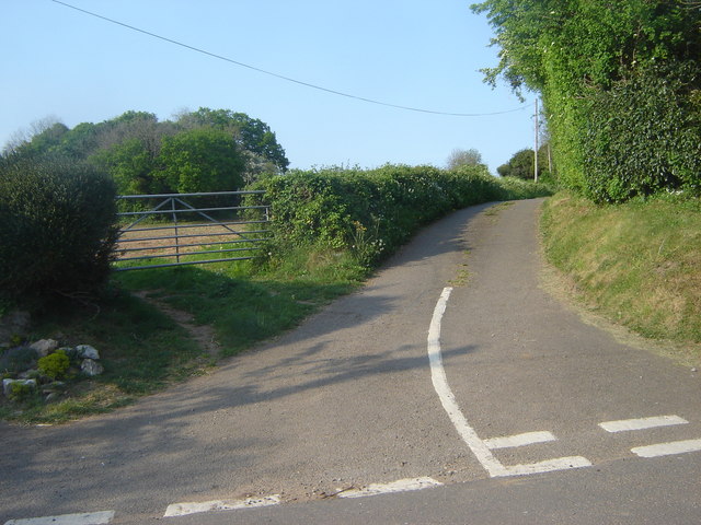
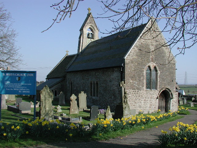
Grange Wood Images

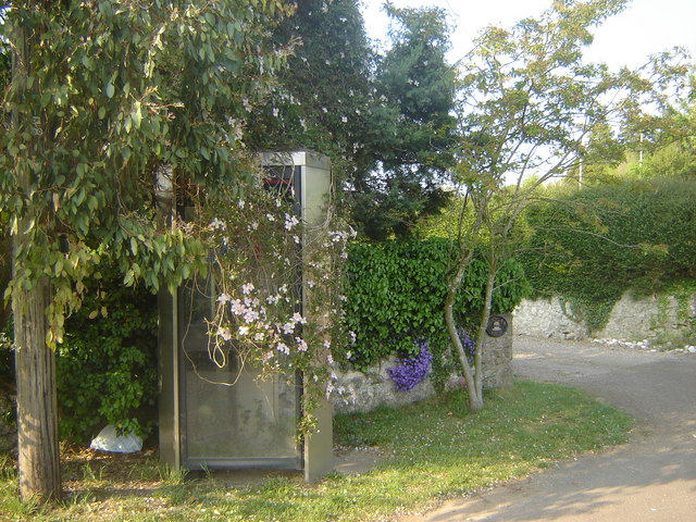
Images are sourced within 2km of 51.595244/-2.8259437 or Grid Reference ST4288. Thanks to Geograph Open Source API. All images are credited.

Footpath near Carrow Hill Looking SW from position
Footpath near Carrow Hill
Looking SW from position
Penhow church
Penhow church
Footpath to Penhow Castle
Telephone Box in disguise, Carrow Hill I don't think I've ever seen a phone box with clematis climbing all over it.
Telephone Box in disguise, Carrow Hill
I don't think I've ever seen a phone box with clematis climbing all over it.
Road Junction near phone box, Carrow Hill
View from Bowdens Lane The first Severn Bridge can be seen in the far distance
View from Bowdens Lane
The first Severn Bridge can be seen in the far distance
Manor Farm, St Brides Netherwent
Mailboxes old and new The Victorian postbox set in the wall has been superseded by an Elizabethan one mounted on a pole
Mailboxes old and new
The Victorian postbox set in the wall has been superseded by an Elizabethan one mounted on a pole
Track to Penylan Farm
Farmland, Carrow Hill
"Communications centre", Carrow Hill Notice-board and postbox
"Communications centre", Carrow Hill
Notice-board and postbox
The Cottage, Carrow Hill
Ordnance Survey Cut Mark This damaged OS cut mark can be found on the west parapet of the railway bridge. It marks a point 12.719m above mean sea level.
Ordnance Survey Cut Mark
This damaged OS cut mark can be found on the west parapet of the railway bridge. It marks a point 12.719m above mean sea level.
Ordnance Survey Cut Mark This OS cut mark can be found on the SW face of St Mary's Church. It marks a point 12.238m above mean sea level.
Ordnance Survey Cut Mark
This OS cut mark can be found on the SW face of St Mary's Church. It marks a point 12.238m above mean sea level.
Ordnance Survey Cut Mark This OS cut mark can be found on the west angle of The Wheatsheaf Inn. It marks a point 10.991m above mean sea level.
Ordnance Survey Cut Mark
This OS cut mark can be found on the west angle of The Wheatsheaf Inn. It marks a point 10.991m above mean sea level.
Ordnance Survey Cut Mark This OS cut mark can be found on Magor Motors. It marks a point 8.821m above mean sea level.
Ordnance Survey Cut Mark
This OS cut mark can be found on Magor Motors. It marks a point 8.821m above mean sea level.
Picnic area, Magor Services on M4 The banner suggests that the area is accessible to wheelchairs, but there is no hard standing and the tables are not adapted for wheelchairs.
Picnic area, Magor Services on M4
The banner suggests that the area is accessible to wheelchairs, but there is no hard standing and the tables are not adapted for wheelchairs.
Double-headed 40s at Magor Preserved class 40 locomotives Nos. D213 and D345 double-head the Devonian Double railtour from Preston to Plymouth at Magor.
Double-headed 40s at Magor
Preserved class 40 locomotives Nos. D213 and D345 double-head the Devonian Double railtour from Preston to Plymouth at Magor.
Show me another place!

Grange Wood is located at Grid Ref: ST4288 (Lat: 51.595244, Lng: -2.8259437)

Unitary Authority: Monmouthshire

Police Authority: Gwent

What 3 Words

///lonely.scrambles.snowmen. Near Magor, Monmouthshire

Related Wikis

St. Brides Netherwent

St. Brides Netherwent (Welsh: Sant-y-brid) is a parish and largely deserted village in Monmouthshire, south-east Wales. It is centred 2 miles north of...

Magor services

Magor services (in Welsh: Gwasanaethau Magwyr) is a motorway service station on the M4, located just off junction 23A, at Magor near Newport, in Monmouthshire...

Penhow Woodlands National Nature Reserve

Penhow Woodlands National Nature Reserve is a national nature reserve and Site of Special Scientific Interest located in south east Wales near the village...

Undy

Undy (Welsh: Gwndy) is a village in Monmouthshire, south east Wales, adjoining the village of Magor with which it forms the community and parish of Magor...

Nearby Amenities

Located within 500m of 51.595244,-2.8259437
The data included in this document is from www.openstreetmap.org. The data is made available under ODbL.

Have you been to Grange Wood?

Leave your review of Grange Wood below (or comments, questions and feedback).