Cherrytree Wood

Wood, Forest in Monmouthshire

Wales

Cherrytree Wood

Lane junction
Lane junction Credit: Rob Purvis

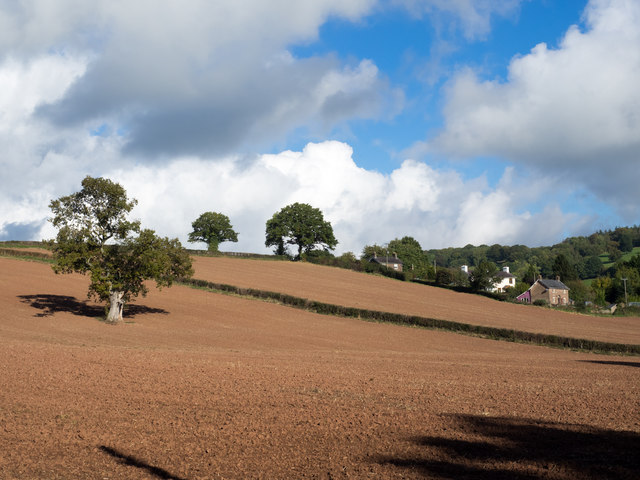
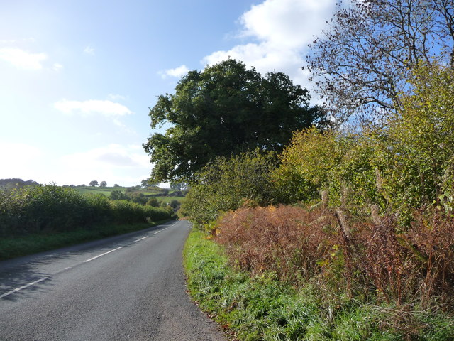
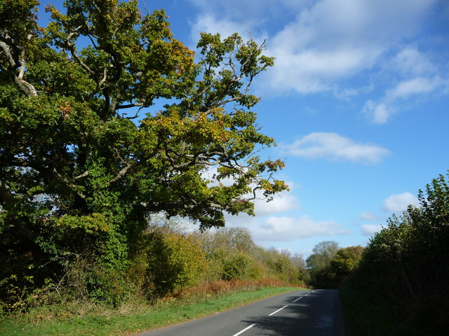
Cherrytree Wood is an enchanting forest located in Monmouthshire, Wales. Covering an area of approximately 50 acres, it is a haven for nature lovers and outdoor enthusiasts alike. The wood is named after the abundance of cherry trees that flourish throughout its landscape, painting the surroundings with vibrant hues during the spring and summer months.

This ancient woodland boasts a rich biodiversity, supporting a plethora of plant and animal species. The forest floor is blanketed with a variety of wildflowers, creating a picturesque scene that attracts photographers and artists. As visitors wander through the wood, they may encounter native wildlife such as deer, squirrels, and a diverse array of bird species.

Cherrytree Wood offers a network of well-maintained walking trails, providing visitors with an opportunity to explore its hidden treasures. The trails wind through the forest, leading to hidden glades, trickling streams, and peaceful picnic spots. The peaceful ambiance of the wood makes it an ideal place for a tranquil stroll, meditation, or simply enjoying the sounds of nature.

For those interested in history, Cherrytree Wood has a fascinating past. It is believed to have been in existence for centuries, playing a significant role in the local community. The wood has witnessed countless generations pass through its towering trees, leaving behind an intangible sense of heritage that can be felt by those who visit.

Cherrytree Wood is a true gem nestled within the picturesque landscape of Monmouthshire. It is a place where visitors can immerse themselves in the beauty of nature, escape the hustle and bustle of daily life, and reconnect with the tranquility that only a forest can provide.

If you have any feedback on the listing, please let us know in the comments section below.

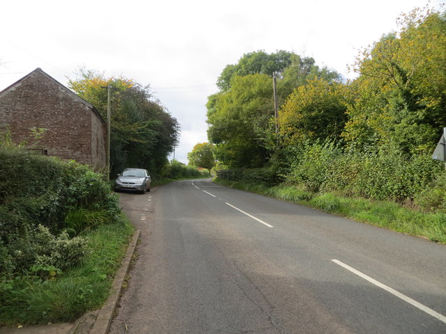
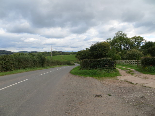
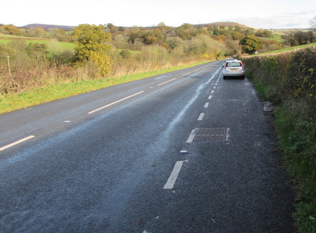
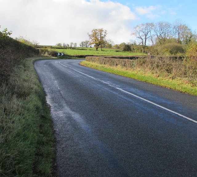
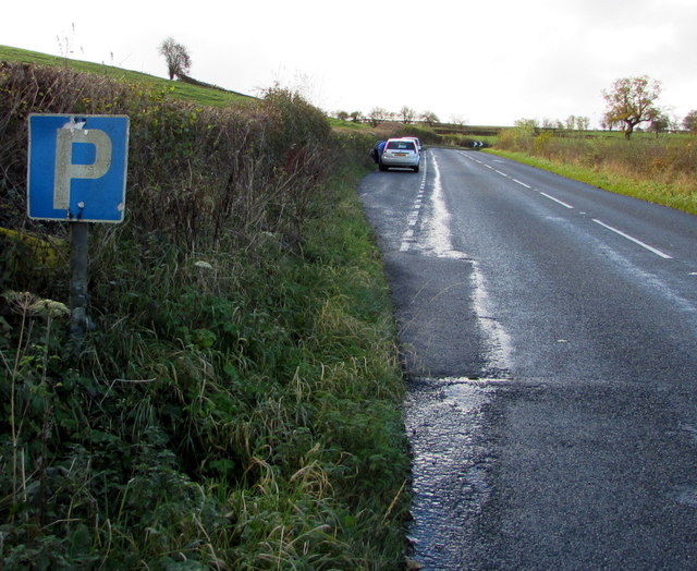
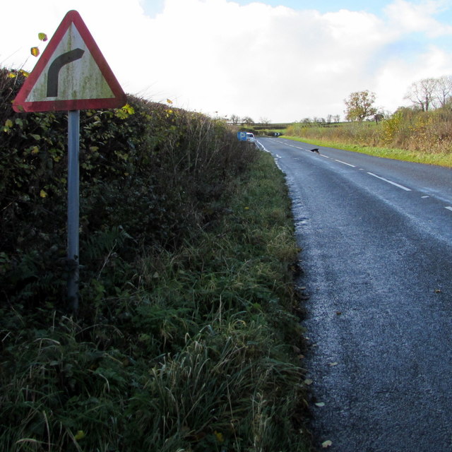
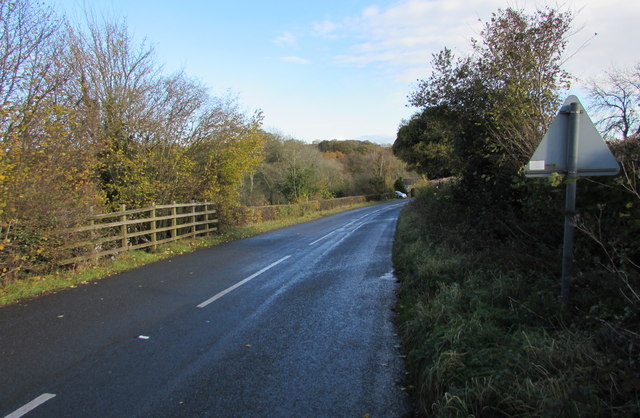
Cherrytree Wood Images

Images are sourced within 2km of 51.872199/-2.833014 or Grid Reference SO4219. Thanks to Geograph Open Source API. All images are credited.

Lane junction
Lane junction
Entrance to Hilston Park
Earthen field on north side of B4521 Presumably both fields in view have crops planted; they're on the north side of the B4521 west of Skenfrith.
Earthen field on north side of B4521
Presumably both fields in view have crops planted; they're on the north side of the B4521 west of Skenfrith.
Road (B4521) and Bridge at Walson Looking north-eastward.
Road (B4521) and Bridge at Walson
Looking north-eastward.
Ordnance Survey Flush Bracket 790 This can be found on the wall of a building at Cherry Tree Farm.
For more detail see : <span class="nowrap"><a title="http://www.bench-marks.org.uk/bm9735" rel="nofollow ugc noopener" href="http://www.bench-marks.org.uk/bm9735">Link</a><img style="margin-left:2px;" alt="External link" title="External link - shift click to open in new window" src="https://s1.geograph.org.uk/img/external.png" width="10" height="10"/></span>
Ordnance Survey Flush Bracket 790
This can be found on the wall of a building at Cherry Tree Farm. For more detail see : LinkExternal link
Road (B4521) at Cherrytree Farm Looking westward.
Road (B4521) at Cherrytree Farm
Looking westward.
Ordnance Survey Flush Bracket 791 This can be found on the wall of a building at Trabella Farm.
For more detail see : <span class="nowrap"><a title="http://www.bench-marks.org.uk/bm9736" rel="nofollow ugc noopener" href="http://www.bench-marks.org.uk/bm9736">Link</a><img style="margin-left:2px;" alt="External link" title="External link - shift click to open in new window" src="https://s1.geograph.org.uk/img/external.png" width="10" height="10"/></span>
Ordnance Survey Flush Bracket 791
This can be found on the wall of a building at Trabella Farm. For more detail see : LinkExternal link
Road (B4521) at the entrance to Trabella Farm Looking south-eastward.
Road (B4521) at the entrance to Trabella Farm
Looking south-eastward.
Ordnance Survey Flush Bracket 792 This can be found on the former Craig Hill Chapel - currently being converted into a private dwelling.
For more detail see : <span class="nowrap"><a title="http://www.bench-marks.org.uk/bm9737" rel="nofollow ugc noopener" href="http://www.bench-marks.org.uk/bm9737">Link</a><img style="margin-left:2px;" alt="External link" title="External link - shift click to open in new window" src="https://s1.geograph.org.uk/img/external.png" width="10" height="10"/></span>
Ordnance Survey Flush Bracket 792
This can be found on the former Craig Hill Chapel - currently being converted into a private dwelling. For more detail see : LinkExternal link
Cross roads near Wayne Wood Looking north-westward across the B4521.
Cross roads near Wayne Wood
Looking north-westward across the B4521.
Layby alongside the B4521 in rural north Monmouthshire Extending for 90 metres along the edge of the B4521. 
The location is about midway between Cross Ash and Walson.
Layby alongside the B4521 in rural north Monmouthshire
Extending for 90 metres along the edge of the B4521. The location is about midway between Cross Ash and Walson.
Towards a bend in the B4521 in rural north Monmouthshire Viewed from the edge of this <a title="https://www.geograph.org.uk/photo/5601089" href="https://www.geograph.org.uk/photo/5601089">Link</a> layby. The location is about midway between Cross Ash and Walson.
Towards a bend in the B4521 in rural north Monmouthshire
Viewed from the edge of this Link layby. The location is about midway between Cross Ash and Walson.
P is for Parking, B4521, northern Monmouthshire On the approach to this <a title="https://www.geograph.org.uk/photo/5601089" href="https://www.geograph.org.uk/photo/5601089">Link</a> 90 metre long layby about midway between Cross Ash and Walson.
P is for Parking, B4521, northern Monmouthshire
On the approach to this Link 90 metre long layby about midway between Cross Ash and Walson.
Warning sign - bend to the right ahead, rural north Monmouthshire Facing the B4521 on the approach to this <a title="https://www.geograph.org.uk/photo/5601096" href="https://www.geograph.org.uk/photo/5601096">Link</a> bend  about midway between Cross Ash and Walson.
Warning sign - bend to the right ahead, rural north Monmouthshire
Facing the B4521 on the approach to this Link bend about midway between Cross Ash and Walson.
B4521 towards Walson East along the B4521 towards Walson, a hamlet in rural north Monmouthshire.
B4521 towards Walson
East along the B4521 towards Walson, a hamlet in rural north Monmouthshire.
Road out of Cross Ash, Monmouthshire The 30mph speed limit on the B4521 through Cross Ash increases to the National Speed Limit ahead, viewed in November 2017. The sign showing unleaded petrol 89.9 pence per litre is outside a former Severn Fuels filling station which closed down many years ago.
Road out of Cross Ash, Monmouthshire
The 30mph speed limit on the B4521 through Cross Ash increases to the National Speed Limit ahead, viewed in November 2017. The sign showing unleaded petrol 89.9 pence per litre is outside a former Severn Fuels filling station which closed down many years ago.
B4521 heading west to Cross Ash Seen from a 91 metre spot height.
B4521 heading west to Cross Ash
Seen from a 91 metre spot height.
Oak tree alongside the B4521, east of Cherrytree Farm The road is heading north-east to Skenfrith.
Oak tree alongside the B4521, east of Cherrytree Farm
The road is heading north-east to Skenfrith.
Show me another place!

Cherrytree Wood is located at Grid Ref: SO4219 (Lat: 51.872199, Lng: -2.833014)

Unitary Authority: Monmouthshire

Police Authority: Gwent

What 3 Words

///steered.circling.magically. Near Llanrothal, Herefordshire

Nearby Locations

Cherrytree Wood Trebella

Related Wikis

Norton Court, Skenfrith

Norton Court, Norton Brook, Skenfrith, Monmouthshire is a country house dating from c.1600. Its origins are older, beginning with its ownership by the...

Cross Ash

Cross Ash is a village in Monmouthshire, south east Wales. It is located on the B4521 road between Abergavenny and Skenfrith, some six miles north east...
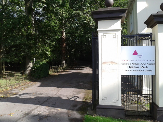
Hilston Park

Hilston Park is a country house and estate between the villages of Newcastle and Skenfrith in Monmouthshire, Wales, close to the border with Herefordshire...

Crossway, Monmouthshire

Crossway (the form used by the Ordnance Survey) or Crossways (the form preferred by most residents) is a hamlet near the village of Newcastle in north...

Related Videos

BEST REMOTE GLAMPING SPOT HEREFORDSHIRE, UK | WITH HOT TUB & FIRE PIT | DRAGONS GATE

LINK TO BOOK: https://thedragonsgate.co.uk/ The dragons gate is a remote location for glamping, set on a working farm on the ...

Brilliant Place To Be A Kid! Skenfrith Castle

The ruin of Skenfrith Castle or Castell Ynysgynwraidd in Welsh sits alongside the River Monnow in Monmouthshire in Wales on ...

Three castles in Wales. One day trip.

Skenfrith, first of three castles.

Nearby Amenities

Located within 500m of 51.872199,-2.833014
Parking
Lat/Long: 51.8690159/-2.8362432
The data included in this document is from www.openstreetmap.org. The data is made available under ODbL.

Have you been to Cherrytree Wood?

Leave your review of Cherrytree Wood below (or comments, questions and feedback).