Cadira Beeches

Wood, Forest in Monmouthshire

Wales

Cadira Beeches

Descending Gray Hill Overlooking Wentwood.
See <a title="https://www.geograph.org.uk/photo/1097852" href="https://www.geograph.org.uk/photo/1097852">Link</a> for a similar view 13 years later.
Descending Gray Hill Credit: Robin Drayton

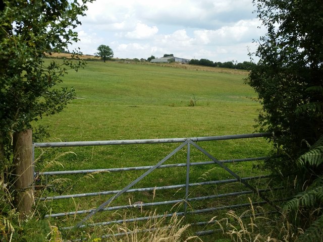
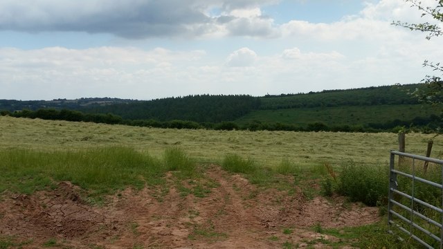
Cadira Beeches is a picturesque woodland located in Monmouthshire, Wales. It is nestled in the scenic Wye Valley, renowned for its natural beauty and abundance of wildlife. The woodland is part of the larger Forest of Dean, which spans across the border between England and Wales.

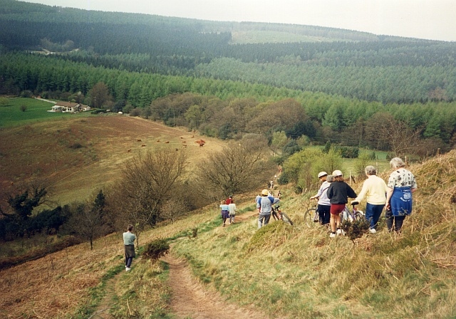
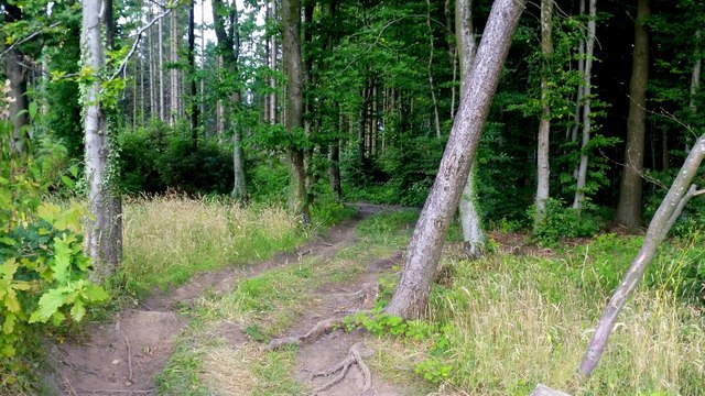
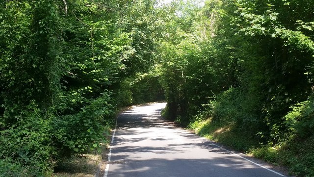
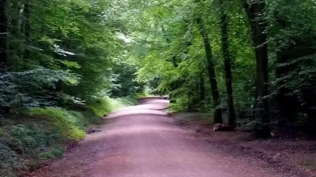
Cadira Beeches is characterized by its dense canopy of mature beech trees, which create a tranquil and shaded environment. The trees form a towering cathedral-like structure, casting dappled sunlight on the forest floor below. This natural spectacle attracts hikers, nature enthusiasts, and photographers alike.

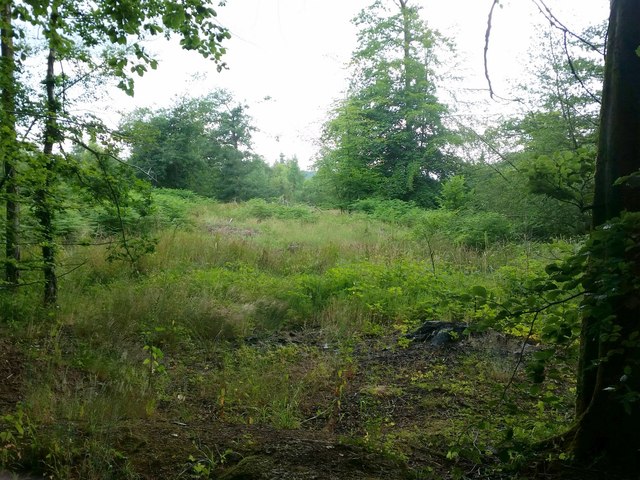
The woodland is home to a diverse range of flora and fauna. Bluebells carpet the forest floor during spring, creating a vibrant display of colors. Various species of birds can be spotted, including woodpeckers, owls, and thrushes. Additionally, the woodland provides a habitat for mammals such as deer, foxes, and badgers.

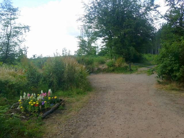
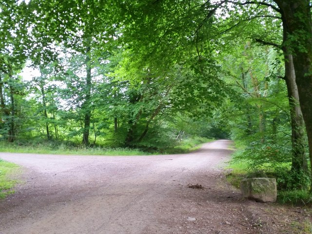
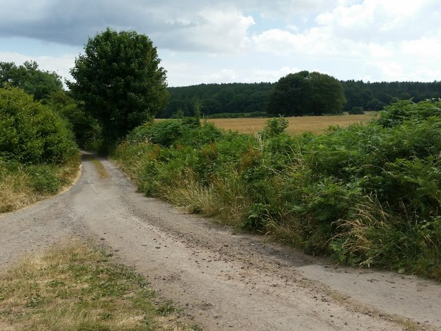
Cadira Beeches offers a network of well-maintained walking trails, allowing visitors to explore the woodland at their own pace. There are routes suited for all levels of fitness, ranging from short leisurely strolls to longer hikes. Along the trails, informative signposts provide interesting facts about the local ecology and history.

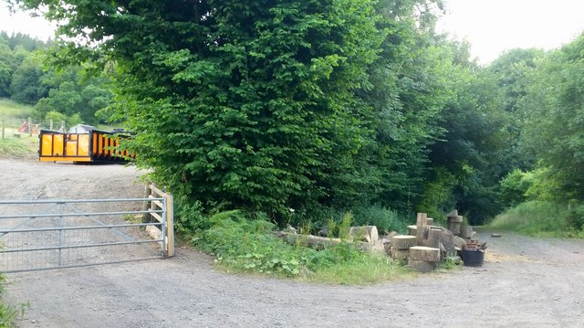
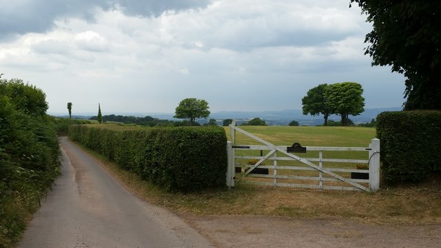
The woodland is easily accessible, with ample parking facilities and nearby public transportation options. Visitors can enjoy a picnic in designated areas or simply sit and soak in the peaceful ambiance. Cadira Beeches is a haven for those seeking solace in nature and a place where one can reconnect with the great outdoors.

If you have any feedback on the listing, please let us know in the comments section below.

Cadira Beeches Images

Images are sourced within 2km of 51.649314/-2.8317395 or Grid Reference ST4294. Thanks to Geograph Open Source API. All images are credited.

Descending Gray Hill Overlooking Wentwood.
See <a title="https://www.geograph.org.uk/photo/1097852" href="https://www.geograph.org.uk/photo/1097852">Link</a> for a similar view 13 years later.
Descending Gray Hill
Overlooking Wentwood. See Link for a similar view 13 years later.
View from Little Oak, Wentwood In the foreground, some clearfell of the conifers of Wentwood. Centre middle distance is the wooded top of Mynydd Alltir-fach. In the far distance is the Second Severn Crossing and Bristolshire on the English side.
View from Little Oak, Wentwood
In the foreground, some clearfell of the conifers of Wentwood. Centre middle distance is the wooded top of Mynydd Alltir-fach. In the far distance is the Second Severn Crossing and Bristolshire on the English side.
Beech-lined forest track Broadleaves are established along roads and tracks and the forest is infilled with conifers.
Beech-lined forest track
Broadleaves are established along roads and tracks and the forest is infilled with conifers.
Approaching Wentwood summit Looking west towards the phone mast.
To the left is one of those shrines that are increasingly popping-up on scenic locations and scenes of accidents.
Approaching Wentwood summit
Looking west towards the phone mast. To the left is one of those shrines that are increasingly popping-up on scenic locations and scenes of accidents.
Track into Wentwood Looks like an entry point, authorised or otherwise, for 4x4 vehicles into the forest.
Track into Wentwood
Looks like an entry point, authorised or otherwise, for 4x4 vehicles into the forest.
Forestry activities A brightly coloured skip and some cut wood by the public path into the Wentwood forest.
Forestry activities
A brightly coloured skip and some cut wood by the public path into the Wentwood forest.
Road through Darren Wood The road descends towards the Usk valley from the Wentwood summit.
Road through Darren Wood
The road descends towards the Usk valley from the Wentwood summit.
Pencaemawr Methodist Chapel Tiny chapel is still in use although it would seem to be a very isolated scattered parish at the top of the Wentwood Hills.
The windows have been replaced since <a href="https://www.geograph.org.uk/photo/118620">ST4195 : Chapel</a>, the First Geograph for the square, was taken in 2006.
Pencaemawr Methodist Chapel
Tiny chapel is still in use although it would seem to be a very isolated scattered parish at the top of the Wentwood Hills. The windows have been replaced since ST4195 : Chapel, the First Geograph for the square, was taken in 2006.
Wentwood at Cadira Beeches, 1 A view of an open broadleaf section of the forest.
Wentwood at Cadira Beeches, 1
A view of an open broadleaf section of the forest.
Wentwood at Cadira Beeches, 2 Track to the left is a bridleway north over the summit and descending to Bluebell Farm.
Wentwood at Cadira Beeches, 2
Track to the left is a bridleway north over the summit and descending to Bluebell Farm.
Wentwood forest track Cambered bridleway heading east towards Shirenewton.
Wentwood forest track
Cambered bridleway heading east towards Shirenewton.
Track towards the Five Paths The Wentwood forest tracks dissect the forested plateau.
Track towards the Five Paths
The Wentwood forest tracks dissect the forested plateau.
Wentwood forest track The Wentwood forest tracks dissect the forested plateau.
Wentwood forest track
The Wentwood forest tracks dissect the forested plateau.
Clearfell in Wentwood A lot of seedling conifers are popping up here but the general view is open to the south and east of the camera position.
Clearfell in Wentwood
A lot of seedling conifers are popping up here but the general view is open to the south and east of the camera position.
Country lane opposite Shepherd's Cottage Same view as that taken in October 2012 <a href="https://www.geograph.org.uk/photo/3192271">ST4196 : Road opposite Shepherds Cottage</a>.
Wentwood Forest in the distance.
Country lane opposite Shepherd's Cottage
Same view as that taken in October 2012 ST4196 : Road opposite Shepherds Cottage. Wentwood Forest in the distance.
Pasture near Buckwell Buckwell Farm in the distance.
Pasture near Buckwell
Buckwell Farm in the distance.
Old Road at White Horse Farm Looking south-west towards Pen-y-cae-mawr.
Old Road at White Horse Farm
Looking south-west towards Pen-y-cae-mawr.
Field of recently-cut haylage The Wentwood Forest in the distance.
Field of recently-cut haylage
The Wentwood Forest in the distance.
Show me another place!

Cadira Beeches is located at Grid Ref: ST4294 (Lat: 51.649314, Lng: -2.8317395)

Unitary Authority: Monmouthshire

Police Authority: Gwent

What 3 Words

///unrated.fattening.lottery. Near Llanvaches, Newport

Related Wikis

Pen-y-cae-mawr

Pen-y-cae-mawr is a small hamlet above the Wentwood Forest in Monmouthshire, Wales. It lies about 2 miles (3.2 km) east of Llantrisant. There are two farms...

Gray Hill, Monmouthshire

Gray Hill (Welsh: Mynydd Llwyd) is a hill immediately to the north of the village of Llanvair Discoed, Monmouthshire, South Wales, rising to 896 feet...

Wentwood

Wentwood (Welsh: Coed Gwent), in Monmouthshire, South Wales, is a forested area of hills, rising to 1,014 feet (309 m) above sea level. It is located to...

Earlswood, Monmouthshire

Earlswood (Welsh: Coed-yr-iarll) is a rural area of scattered settlement in Monmouthshire, south east Wales, United Kingdom. It is located five miles...

Bertholey House

Bertholey House, is a country house near the village of Llantrisant, in Monmouthshire, Wales. A Tudor house originally stood on the site, the home of...

Gaerllwyd

Gaerllwyd is a village in Monmouthshire, south east Wales, United Kingdom. == Location == Gaerllwyd is located 6 miles (9.7 km) south east of Usk and 7...

Nantybanw, Llantrisant

Nantybanw, Llantrisant in Monmouthshire, Wales is a country house dating from 1625. The house is Grade II* listed and the associated farm buildings have...

Llanvaches

Llanvaches or Llanfaches is a village and community parish within the boundaries of the city of Newport, Wales. It lies to the east of the urban area...

Nearby Amenities

Located within 500m of 51.649314,-2.8317395
Nine Wells
Natural: spring
Lat/Long: 51.6457846/-2.8328134
Tourism: picnic_site
Lat/Long: 51.6449658/-2.8319148
Cadira Beeches
Place: locality
Lat/Long: 51.6500969/-2.8361694
Cadira Beeches
Ele: 270
Natural: peak
Lat/Long: 51.6534537/-2.8297287
The data included in this document is from www.openstreetmap.org. The data is made available under ODbL.

Have you been to Cadira Beeches?

Leave your review of Cadira Beeches below (or comments, questions and feedback).