Bryn Wood
Wood, Forest in Flintshire
Wales
Bryn Wood
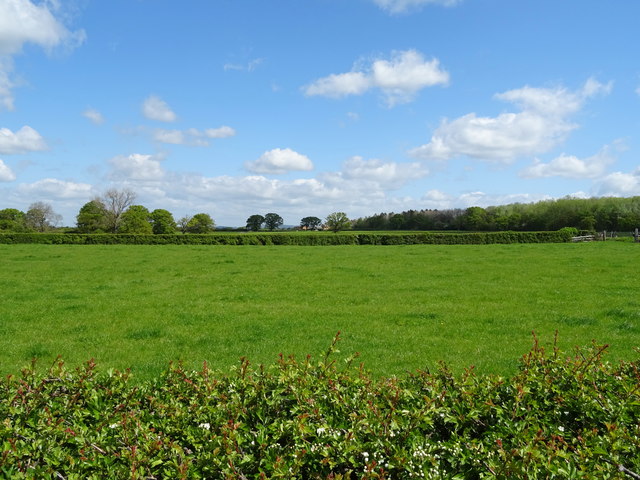
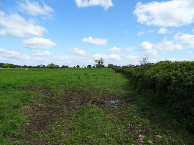
Bryn Wood is a picturesque forest located in Flintshire, Wales. Covering an area of approximately 50 hectares, the woodland is known for its diverse range of trees, vibrant flora, and abundant wildlife. It is situated near the village of Brynford, just a few miles away from the town of Holywell.
The woodland is a mix of both coniferous and deciduous trees, with species such as oak, beech, birch, and pine dominating the landscape. Walking through Bryn Wood, visitors are treated to a sensory feast as they immerse themselves in the sights, sounds, and scents of nature. The forest floor is carpeted with an array of wildflowers, ferns, and mosses, creating a vibrant tapestry of colors throughout the seasons.
The forest is home to a variety of animal species, including deer, foxes, badgers, rabbits, and a wide range of bird species. Nature enthusiasts and birdwatchers flock to Bryn Wood to catch a glimpse of rare species such as woodpeckers, owls, and buzzards.
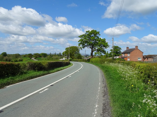
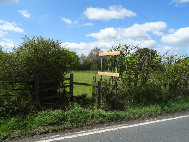
Several walking trails wind their way through Bryn Wood, providing visitors with an opportunity to explore the forest and enjoy its natural beauty. These trails offer stunning views of the surrounding countryside, and some even lead to a nearby nature reserve.
Bryn Wood is a cherished natural gem in Flintshire, offering a tranquil escape from the hustle and bustle of everyday life. With its diverse ecosystem and stunning scenery, it is a haven for nature lovers and a place of tranquility for all who visit.
If you have any feedback on the listing, please let us know in the comments section below.
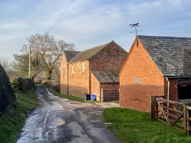
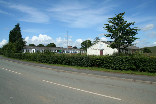
Bryn Wood Images
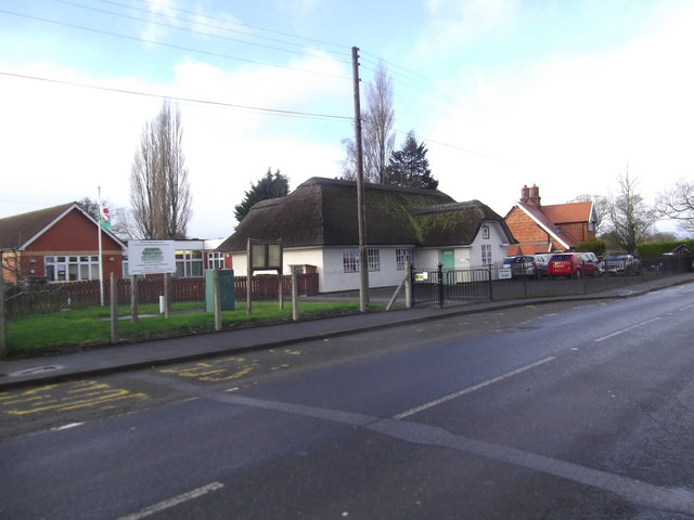
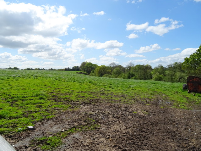
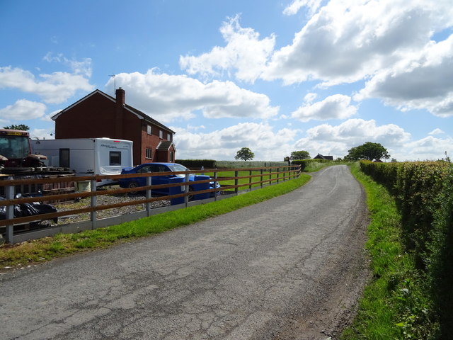
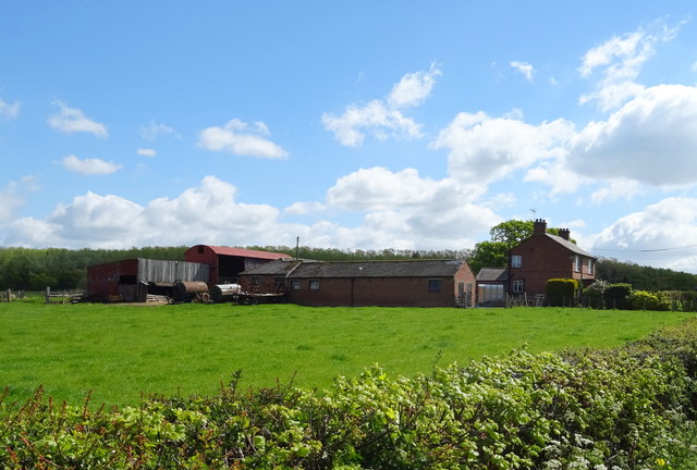
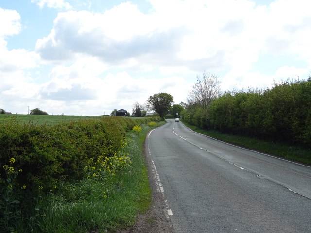
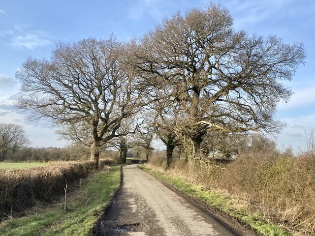
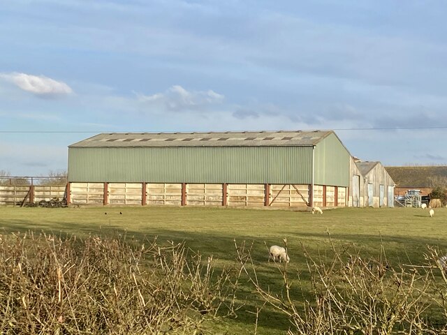
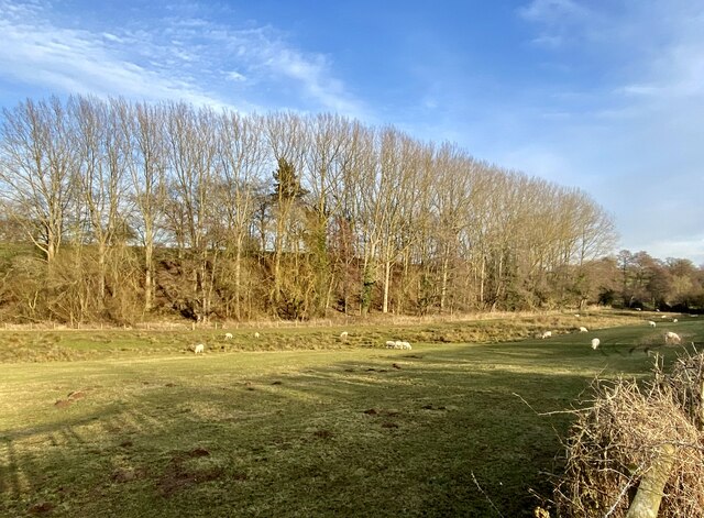
Images are sourced within 2km of 52.965691/-2.8617338 or Grid Reference SJ4241. Thanks to Geograph Open Source API. All images are credited.

Bryn Wood is located at Grid Ref: SJ4241 (Lat: 52.965691, Lng: -2.8617338)
Unitary Authority: Wrexham
Police Authority: North Wales
What 3 Words
///lives.eats.redeeming. Near Overton, Wrexham
Related Wikis
Halghton
Halghton (Welsh: Halchdyn) is a dispersed settlement and former civil parish in the east of Wrexham County Borough, Wales. It is part of the community...
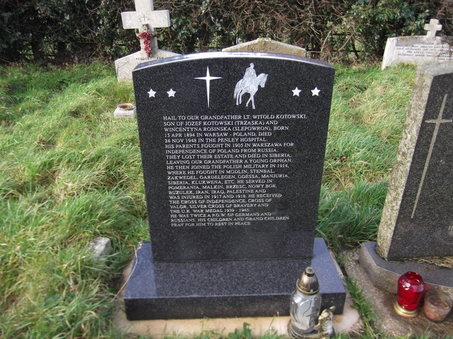
Penley Community Hospital
Penley Community Hospital (Welsh: Ysbyty Cymuned Llannerch Banna) is a former community hospital dedicated to Polish ex-servicemen in Penley, Wales. It...

The Maelor School
The Maelor School, Penley (Welsh: Ysgol Maelor) is a mixed comprehensive school situated in the village of Penley, Wrexham County Borough, in north-east...

Penley
Penley (Welsh: Llannerch Banna) is a village in the County Borough of Wrexham, in Wales close to the border with Shropshire, England, and had a population...
Nearby Amenities
Located within 500m of 52.965691,-2.8617338Have you been to Bryn Wood?
Leave your review of Bryn Wood below (or comments, questions and feedback).