Trevella Big Wood

Wood, Forest in Monmouthshire

Wales

Trevella Big Wood

B4235 near Beaufort Bungalow
B4235 near Beaufort Bungalow Credit: Colin Pyle

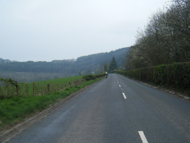
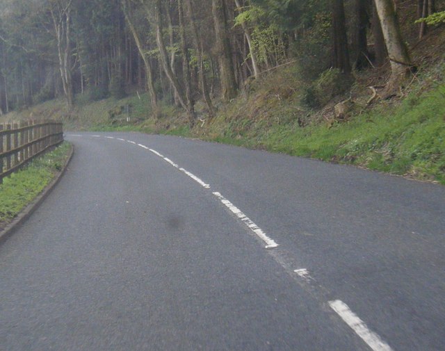
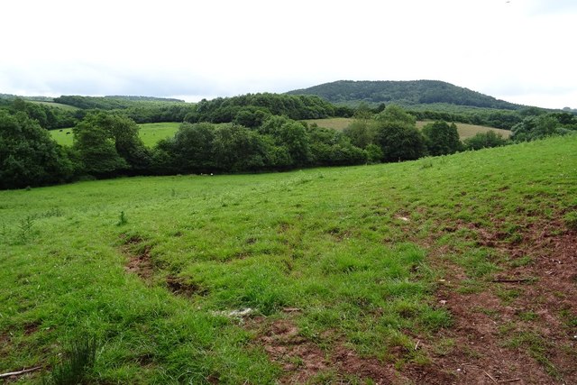
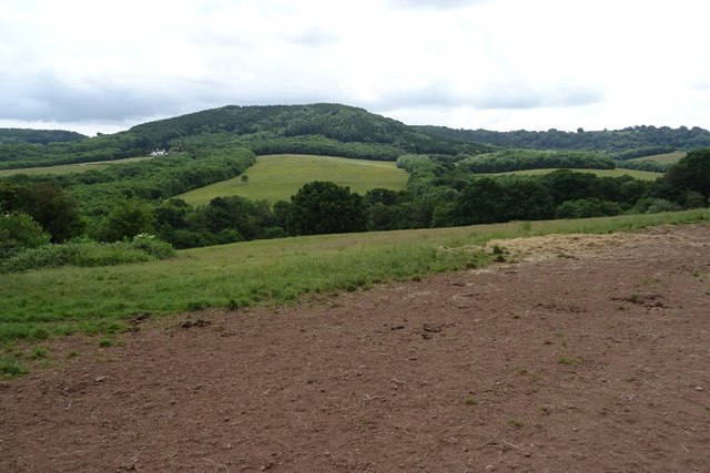
Trevella Big Wood is a picturesque woodland located in Monmouthshire, Wales. Spanning over a vast area, this forest is renowned for its natural beauty and diverse ecosystem. The wood is predominantly composed of native deciduous trees, such as oak, beech, and ash, which create a vibrant canopy during the summer months.

The forest floor is rich with a variety of flora, including bluebells, foxgloves, and ferns, which add to the enchanting atmosphere of the woodland. Trevella Big Wood is also known for its well-maintained footpaths, allowing visitors to explore the area and immerse themselves in the peaceful surroundings.

The woodland is home to a wide range of wildlife, making it a popular destination for nature enthusiasts. Roe deer, badgers, and foxes can often be spotted roaming through the trees, while a chorus of birdsong fills the air. Additionally, the forest provides a habitat for numerous species of insects, including butterflies and dragonflies.

Trevella Big Wood offers a tranquil escape from the hustle and bustle of daily life, providing visitors with a chance to reconnect with nature. Whether it is a leisurely stroll, a family picnic, or birdwatching, this beautiful woodland has something to offer for everyone.

With its stunning scenery and abundant wildlife, Trevella Big Wood is a true gem within Monmouthshire, attracting both locals and tourists who seek solace and appreciation for the natural world.

If you have any feedback on the listing, please let us know in the comments section below.

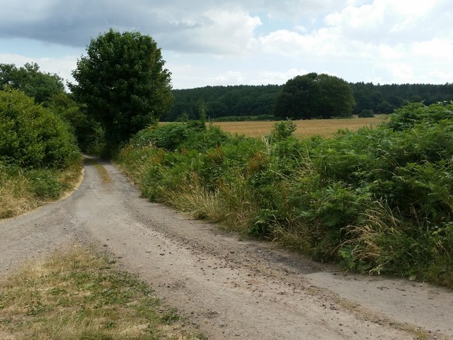
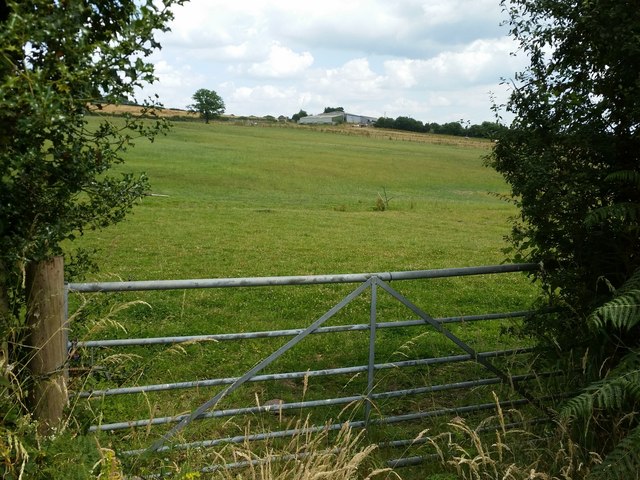
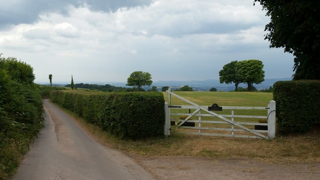
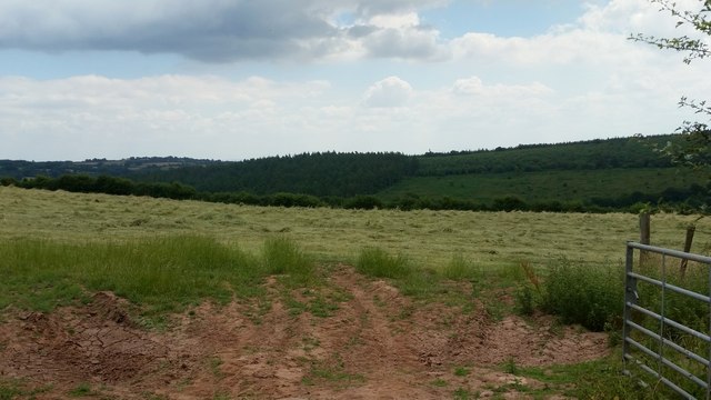
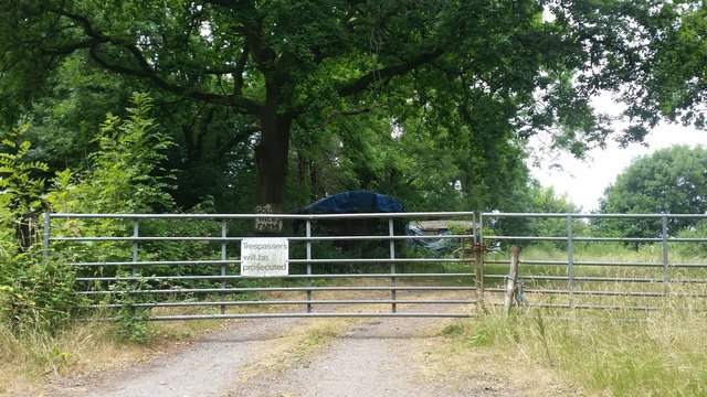
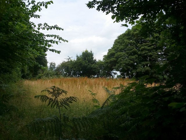
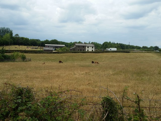
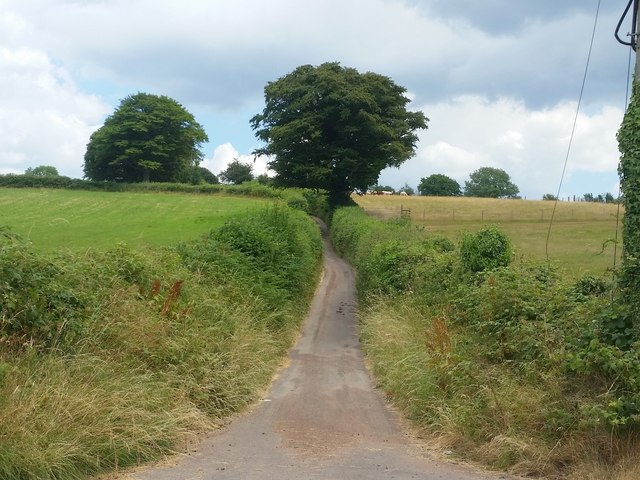
Trevella Big Wood Images

Images are sourced within 2km of 51.674627/-2.8377566 or Grid Reference ST4297. Thanks to Geograph Open Source API. All images are credited.

B4235 near Beaufort Bungalow
B4235 on bend at site of Great Wood, now felled
Farmland near Nantymark Farmland near Nantymark south of the village of Llangwm.
Farmland near Nantymark
Farmland near Nantymark south of the village of Llangwm.
View to Trevella Big Wood View to Trevella Big Wood on Golden Hill, south of the village of Llangwm
View to Trevella Big Wood
View to Trevella Big Wood on Golden Hill, south of the village of Llangwm
Farmland above Nant-y-March Farmland in the valley of Nant y March to the south of Llangwm.
Farmland above Nant-y-March
Farmland in the valley of Nant y March to the south of Llangwm.
Unsuitable for heavy goods vehicles The signs reads 'Unsuitable for heavy goods vehicles', I not sure it is even a through road having looked at the OS map.  Pictured at a country road junction at Coed Cwnwr.
Unsuitable for heavy goods vehicles
The signs reads 'Unsuitable for heavy goods vehicles', I not sure it is even a through road having looked at the OS map. Pictured at a country road junction at Coed Cwnwr.
Road above Llewelyn's Dingle Country road to Llanllowell, above Llewelyn's Dingle.
Road above Llewelyn's Dingle
Country road to Llanllowell, above Llewelyn's Dingle.
Country lane opposite Shepherd's Cottage Same view as that taken in October 2012 <a href="https://www.geograph.org.uk/photo/3192271">ST4196 : Road opposite Shepherds Cottage</a>.
Wentwood Forest in the distance.
Country lane opposite Shepherd's Cottage
Same view as that taken in October 2012 ST4196 : Road opposite Shepherds Cottage. Wentwood Forest in the distance.
Pasture near Buckwell Buckwell Farm in the distance.
Pasture near Buckwell
Buckwell Farm in the distance.
Old Road at White Horse Farm Looking south-west towards Pen-y-cae-mawr.
Old Road at White Horse Farm
Looking south-west towards Pen-y-cae-mawr.
Field of recently-cut haylage The Wentwood Forest in the distance.
Field of recently-cut haylage
The Wentwood Forest in the distance.
Golden Hill Farm entrance On mapping this is given as a route with public access.
The sign on the gate would indicate otherwise.
Golden Hill Farm entrance
On mapping this is given as a route with public access. The sign on the gate would indicate otherwise.
Small field at Golden Hill A triangular patch of land by the gate shown in <a href="https://www.geograph.org.uk/photo/5898322">ST4297 : Golden Hill Farm entrance</a>.
Small field at Golden Hill
A triangular patch of land by the gate shown in ST4297 : Golden Hill Farm entrance.
Alpacas at Goytre Farm The grass is showing the signs of drought in the summer of 2018.
Alpacas at Goytre Farm
The grass is showing the signs of drought in the summer of 2018.
Narrow Lane - Old Road The name of this lane ascending from the crossroads near Goytre Farm.
Narrow Lane - Old Road
The name of this lane ascending from the crossroads near Goytre Farm.
Across the fields to Springfield Farm Wentwood Forest in the distance.
Across the fields to Springfield Farm
Wentwood Forest in the distance.
Stable block at Cefn Bychan Farm Empty at the time of photographing.
Stable block at Cefn Bychan Farm
Empty at the time of photographing.
Carna Cottage House is named on OS mapping and viewed from the public road.
Carna Cottage
House is named on OS mapping and viewed from the public road.
Show me another place!

Trevella Big Wood is located at Grid Ref: ST4297 (Lat: 51.674627, Lng: -2.8377566)

Unitary Authority: Monmouthshire

Police Authority: Gwent

What 3 Words

///safe.hazel.congested. Near Llangwm, Monmouthshire

Related Wikis

Nantybanw, Llantrisant

Nantybanw, Llantrisant in Monmouthshire, Wales is a country house dating from 1625. The house is Grade II* listed and the associated farm buildings have...

Llantrisant Fawr

Llantrisant Fawr is a community in Monmouthshire, Wales. Villages within the community include Llantrisant and Llanllowell. The community council has three...

Llangwm, Monmouthshire

Llangwm is a small rural village and former community, now in the community of Llantrisant Fawr, in Monmouthshire, south east Wales. It is located 3 miles...

St Jerome's Church, Llangwm

The Church of St Jerome stands in the settlement of Llangwm Uchaf, (upper) Llangwm, in a remote part of Monmouthshire, Wales. Originally constructed in...

Nearby Amenities

Located within 500m of 51.674627,-2.8377566
Golden Hill
Ele: 274
Natural: peak
Wikidata: Q106711461
Lat/Long: 51.6733852/-2.8317807
The data included in this document is from www.openstreetmap.org. The data is made available under ODbL.

Have you been to Trevella Big Wood?

Leave your review of Trevella Big Wood below (or comments, questions and feedback).