Lower Tal-y-coed Wood

Wood, Forest in Monmouthshire

Wales

Lower Tal-y-coed Wood

Garden on the B4233
Garden on the B4233 Credit: Rob Purvis

The requested URL returned error: 429 Too Many Requests

If you have any feedback on the listing, please let us know in the comments section below.

Lower Tal-y-coed Wood Images

Images are sourced within 2km of 51.836731/-2.8465535 or Grid Reference SO4115. Thanks to Geograph Open Source API. All images are credited.

Garden on the B4233
Garden on the B4233
Warwicks pub on the B4233
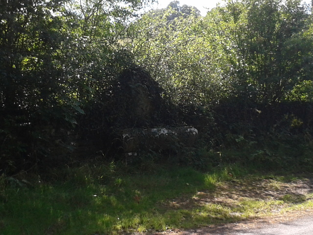
Water trough overrun with plant life
The B4233, heading south-east
Track to White House farm
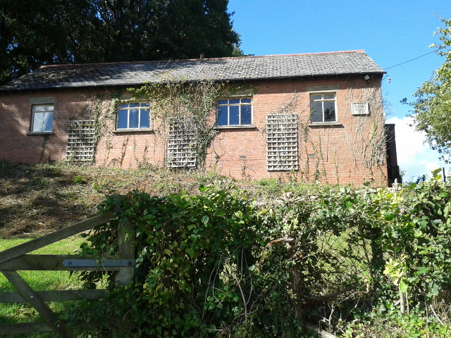
Onen village hall, now for sale
Curious cows at Old Chapel farm
Very muddy path near Littlemill Farm Best avoid it if you don't want to slide all the way down to the brook!
Very muddy path near Littlemill Farm
Best avoid it if you don't want to slide all the way down to the brook!
The Llymon Brook valley In the subtle colours of winter.
The Llymon Brook valley
In the subtle colours of winter.
Old circular AA Sign on the B4233 at Onen Old AA Sign set on a single storey pebbledashed building on the B4233 at Onen, 7 miles west of Monmouth. Whitecastle community.

This is the circular, village name on black band, no Motor Union symbol or name type, dating from 1923, and showing distances Abergavenny 9¼ Monmouth 5¾ London 133¾. Missing since at least 1994.

There were five series of AA signs, mostly dating from 1923 and made by Francis & Co / Franco in Deptford, London. The village name and distance to London were displayed.

Milestone Society National ID: MON-ONEN
Old circular AA Sign on the B4233 at Onen
Old AA Sign set on a single storey pebbledashed building on the B4233 at Onen, 7 miles west of Monmouth. Whitecastle community. This is the circular, village name on black band, no Motor Union symbol or name type, dating from 1923, and showing distances Abergavenny 9¼ Monmouth 5¾ London 133¾. Missing since at least 1994. There were five series of AA signs, mostly dating from 1923 and made by Francis & Co / Franco in Deptford, London. The village name and distance to London were displayed. Milestone Society National ID: MON-ONEN
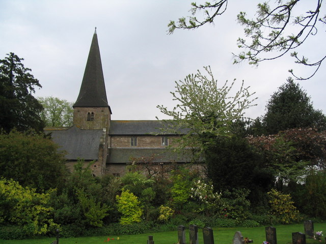
The former church of St. Bueno Now a house.
The former church of St. Bueno
Now a house.
Grass field near Ash Grove
Road towards Upper Cwm and White Castle
The former church of St. Bueno Now a house.
The former church of St. Bueno
Now a house.
Onen boundary sign, Monmouthshire Hamlet name sign below a warning sign alongside the B4233 in rural Monmouthshire.
Onen boundary sign, Monmouthshire
Hamlet name sign below a warning sign alongside the B4233 in rural Monmouthshire.
Tractor leaving Onen, Monmouthshire Travelling east on the B4233 in January 2022. 
An Onen boundary sign <a title="https://www.geograph.org.uk/photo/7081697" href="https://www.geograph.org.uk/photo/7081697">Link</a> is behind the camera.
Tractor leaving Onen, Monmouthshire
Travelling east on the B4233 in January 2022. An Onen boundary sign Link is behind the camera.
Junction in Onen, Monmouthshire Viewed along the B4233. Take the left fork for the unclassified road to Llanvihangel-Ystern-Llewern.
Junction in Onen, Monmouthshire
Viewed along the B4233. Take the left fork for the unclassified road to Llanvihangel-Ystern-Llewern.
East side of Onen House, Onen, Monmouthshire Large house on the north side of the B4233 in rural Monmouthshire.
East side of Onen House, Onen, Monmouthshire
Large house on the north side of the B4233 in rural Monmouthshire.
Show me another place!

Lower Tal-y-coed Wood is located at Grid Ref: SO4115 (Lat: 51.836731, Lng: -2.8465535)

Unitary Authority: Monmouthshire

Police Authority: Gwent

What 3 Words

///dairies.crucially.inched. Near Llanrothal, Herefordshire

Related Wikis

Tal-y-coed Court

Tal-y-coed Court,, Llanvihangel-Ystern-Llewern, Monmouthshire, Wales, is a Victorian country house. Constructed in 1881–1883, it was built for the Monmouthshire...

The Pant, Llanvihangel-Ystern-Llewern

The Pant, Llanvihangel-Ystern-Llewern, Monmouthshire is a hall-house dating from the 16th century with an attached 17th century Quaker meeting house. It...

Maerdy Farmhouse, Llanvihangel-Ystern-Llewern

Maerdy Farmhouse (The Maerdy), Llanvihangel-Ystern-Llewern, Monmouthshire is a farmhouse dating from about 1700. Extended later in the 18th century, it...

St Teilo's Church, Llantilio Crossenny

The Church of St Teilo is the parish church of Llantilio Crossenny, Monmouthshire, Wales. "An unusually grand cruciform church", with an Early English...

Nearby Amenities

Located within 500m of 51.836731,-2.8465535
Talycoed Farm
Place: farm
Wikidata: Q29501342
Lat/Long: 51.8342724/-2.8522805
The data included in this document is from www.openstreetmap.org. The data is made available under ODbL.

Have you been to Lower Tal-y-coed Wood?

Leave your review of Lower Tal-y-coed Wood below (or comments, questions and feedback).