Pen-tŵyn Wood

Wood, Forest in Monmouthshire

Wales

Pen-tŵyn Wood

War Memorial Cross, Llantilio Crossenny In St Teilo's churchyard in rural Monmouthshire.
War Memorial Cross, Llantilio Crossenny Credit: Jaggery

The requested URL returned error: 429 Too Many Requests

If you have any feedback on the listing, please let us know in the comments section below.

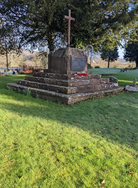
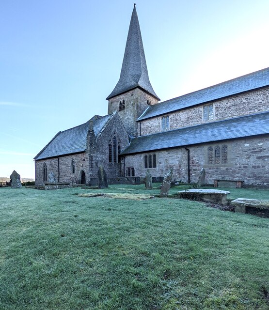
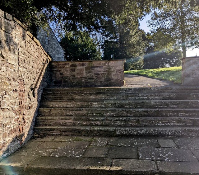
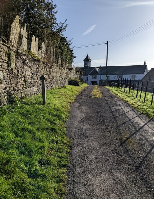
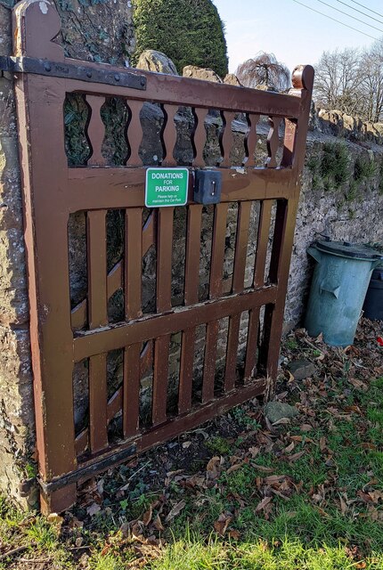
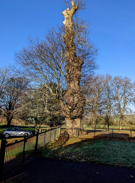
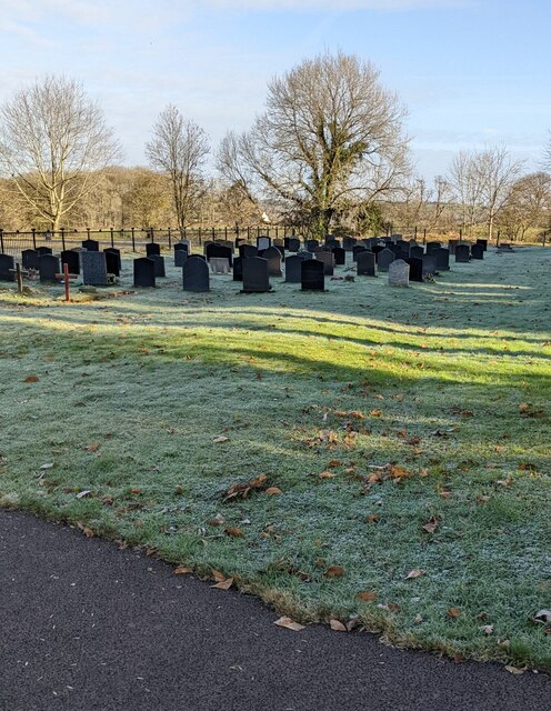
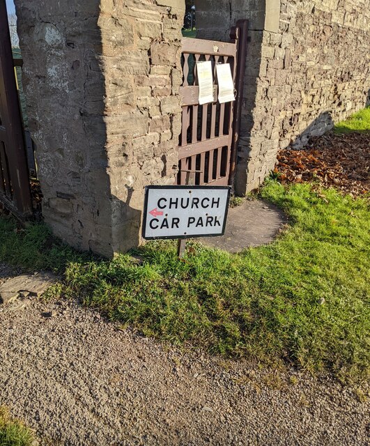
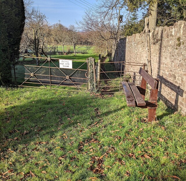
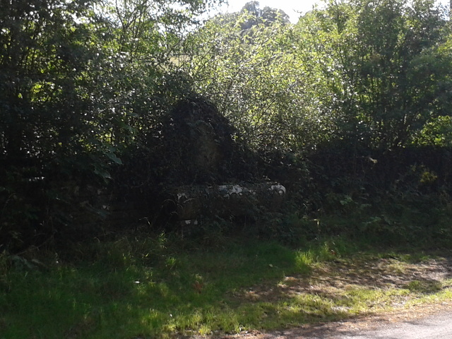
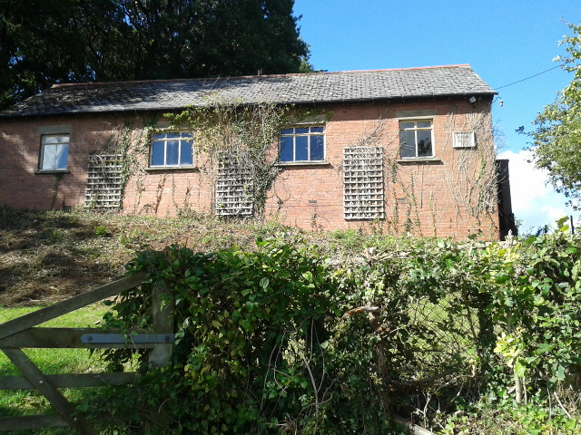
Pen-tŵyn Wood Images

Images are sourced within 2km of 51.829189/-2.8501125 or Grid Reference SO4114. Thanks to Geograph Open Source API. All images are credited.

War Memorial Cross, Llantilio Crossenny In St Teilo's churchyard in rural Monmouthshire.
War Memorial Cross, Llantilio Crossenny
In St Teilo's churchyard in rural Monmouthshire.
Grade I Listed church, Llantilio Crossenny The Church of St Teilo is the parish church of Llantilio Crossenny in the Church in Wales Diocese of Monmouth. The earliest fabric of the church dates from the 12th century. The spire was added to the tower in 1708-1709 when the bell chamber was strengthened. The church was Grade I Listed in 1953 as an exceptionally fine medieval parish church with an outstanding interior.
Grade I Listed church, Llantilio Crossenny
The Church of St Teilo is the parish church of Llantilio Crossenny in the Church in Wales Diocese of Monmouth. The earliest fabric of the church dates from the 12th century. The spire was added to the tower in 1708-1709 when the bell chamber was strengthened. The church was Grade I Listed in 1953 as an exceptionally fine medieval parish church with an outstanding interior.
Steps up to the churchyard, Llantilio Crossenny This way for St Teilo's church and churchyard. There is also step-free access to the churchyard.
Steps up to the churchyard, Llantilio Crossenny
This way for St Teilo's church and churchyard. There is also step-free access to the churchyard.
Path past the edge of the churchyard, Llantilio Crossenny Headstones and a perimeter wall of St Teilo's churchyard are on the left. A small  notice on the post on the grass shows NO PUBLIC RIGHT OF WAY BEYOND THIS POINT.
Path past the edge of the churchyard, Llantilio Crossenny
Headstones and a perimeter wall of St Teilo's churchyard are on the left. A small notice on the post on the grass shows NO PUBLIC RIGHT OF WAY BEYOND THIS POINT.
Church Car Park, Llantilio Crossenny  Opposite St Teilo's churchyard.
Church Car Park, Llantilio Crossenny
Opposite St Teilo's churchyard.
Car park donation box, Llantilio Crossenny The box is on a gate at the entrance to this <a title="https://www.geograph.org.uk/photo/7086651" href="https://www.geograph.org.uk/photo/7086651">Link</a> car park. The white-on-green notice next to the box shows "DONATIONS FOR PARKING - Please help us maintain this Car Park".
Car park donation box, Llantilio Crossenny
The box is on a gate at the entrance to this Link car park. The white-on-green notice next to the box shows "DONATIONS FOR PARKING - Please help us maintain this Car Park".
Ancient tree, Llantilio Crossenny Leafless in January 2022.
Ancient tree, Llantilio Crossenny
Leafless in January 2022.
Headstones, Llantilio Crossenny In St Teilo's churchyard in the Church in Wales Diocese of Monmouth.
Headstones, Llantilio Crossenny
In St Teilo's churchyard in the Church in Wales Diocese of Monmouth.
Church and churchyard, Llantilio Crossenny Looking towards the landmark spire of St Teilo's Church <a title="https://www.geograph.org.uk/photo/7085742" href="https://www.geograph.org.uk/photo/7085742">Link</a> in the Church in Wales Diocese of Monmouth.
Church and churchyard, Llantilio Crossenny
Looking towards the landmark spire of St Teilo's Church Link in the Church in Wales Diocese of Monmouth.
Church Car Park direction sign, Llantilio Crossenny The small pink arrow on the sign points left towards this <a title="https://www.geograph.org.uk/photo/7086651" href="https://www.geograph.org.uk/photo/7086651">Link</a> car park.
Church Car Park direction sign, Llantilio Crossenny
The small pink arrow on the sign points left towards this Link car park.
Bench and its shadow near two gates, Llantilio Crossenny Near an entrance to St Teilo's churchyard. The notice on the gate on the left shows PLEASE KEEP GATE CLEAR. A kissing gate is behind the bench.
Bench and its shadow near two gates, Llantilio Crossenny
Near an entrance to St Teilo's churchyard. The notice on the gate on the left shows PLEASE KEEP GATE CLEAR. A kissing gate is behind the bench.
Garden on the B4233
Garden on the B4233
Warwicks pub on the B4233
Water trough overrun with plant life
The B4233, heading south-east
Track to White House farm
Onen village hall, now for sale
View across the Trothy valley from Offa's Dyke path, 1987 View west from near Little Grange across the Trothy valley. The hill in the middle of the photograph is Pentre-wylan.
View across the Trothy valley from Offa's Dyke path, 1987
View west from near Little Grange across the Trothy valley. The hill in the middle of the photograph is Pentre-wylan.
Show me another place!

Pen-tŵyn Wood is located at Grid Ref: SO4114 (Lat: 51.829189, Lng: -2.8501125)

Unitary Authority: Monmouthshire

Police Authority: Gwent

What 3 Words

///cavalier.tame.cello. Near Llanarth, Monmouthshire

Nearby Locations

Pen-tŵyn Wood

Related Wikis

Tal-y-coed Court

Tal-y-coed Court,, Llanvihangel-Ystern-Llewern, Monmouthshire, Wales, is a Victorian country house. Constructed in 1881–1883, it was built for the Monmouthshire...

The Pant, Llanvihangel-Ystern-Llewern

The Pant, Llanvihangel-Ystern-Llewern, Monmouthshire is a hall-house dating from the 16th century with an attached 17th century Quaker meeting house. It...

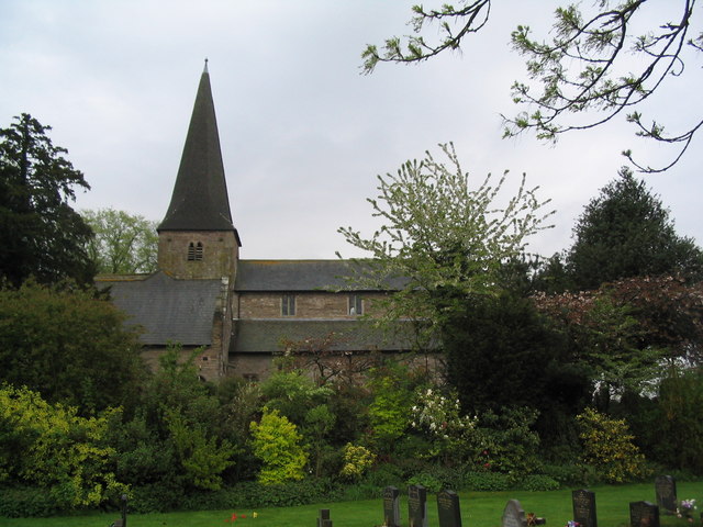
St Teilo's Church, Llantilio Crossenny

The Church of St Teilo is the parish church of Llantilio Crossenny, Monmouthshire, Wales. "An unusually grand cruciform church", with an Early English...

Llantilio Crossenny

Llantilio Crossenny (Welsh: Llandeilo Gresynni) is a small village and much larger former community, now in the community of Whitecastle, in Monmouthshire...

Nearby Amenities

Located within 500m of 51.829189,-2.8501125
Pub
The Halfway
Addr Postcode: NP7 8TL
Addr Street: Tal y Coed
Contact Facebook: thehalfwaytalycoed
Contact Instagram: halfwaythecoed
Cuisine: local
Email: halfwayenquiries@outlook.com
Name En: The Halfway
Opening Hours: We-Th 18:00-22:00; Fr-Sa 18:00-00:00; Su 12:00-20:00
Phone: +44 7927 083691;+44 1600 780396
Website: https://thehalfwaypub.com
Lat/Long: 51.8318729/-2.8524375
Post Box
Post Box Type: wall
Ref: NP7 132
Royal Cypher: EIIR
Royal Cypher Wikidata: Q33102113
Lat/Long: 51.8318729/-2.8521102
Power: pole
Lat/Long: 51.8304504/-2.8569348
Power: pole
Lat/Long: 51.8305175/-2.8559116
Power: pole
Lat/Long: 51.8305822/-2.8543827
Power: pole
Lat/Long: 51.8306501/-2.8525387
Power: pole
Lat/Long: 51.8307023/-2.8510447
Power: pole
Lat/Long: 51.8307214/-2.8499678
Power: pole
Lat/Long: 51.8307521/-2.8488131
Power: pole
Lat/Long: 51.830268/-2.8478985
Power: pole
Lat/Long: 51.829886/-2.8471193
Power: pole
Lat/Long: 51.8294873/-2.8463669
Power: pole
Lat/Long: 51.828995/-2.8454228
Power: pole
Lat/Long: 51.8286966/-2.8441916
Power: pole
Lat/Long: 51.8291964/-2.846611
Power: pole
Lat/Long: 51.8295859/-2.847417
Power: pole
Lat/Long: 51.8301562/-2.8485194
Power: pole
Lat/Long: 51.8318179/-2.8517917
Power: pole
Lat/Long: 51.8322853/-2.8527036
Power: pole
Lat/Long: 51.8329474/-2.8540233
The data included in this document is from www.openstreetmap.org. The data is made available under ODbL.

Have you been to Pen-tŵyn Wood?

Leave your review of Pen-tŵyn Wood below (or comments, questions and feedback).