Kitchen Wood

Wood, Forest in Flintshire

Wales

Kitchen Wood

Grazing off the A525
Grazing off the A525 Credit: JThomas

The requested URL returned error: 429 Too Many Requests

If you have any feedback on the listing, please let us know in the comments section below.
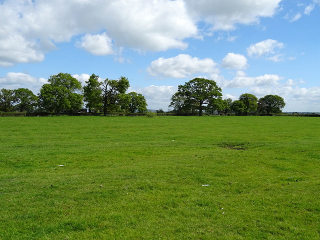
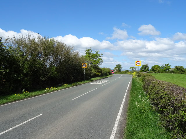
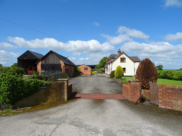
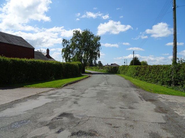
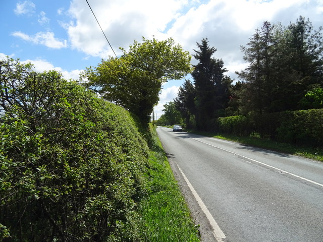
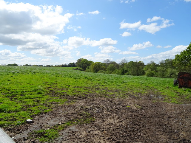
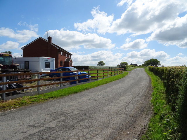
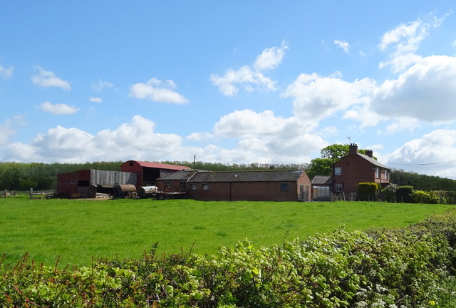
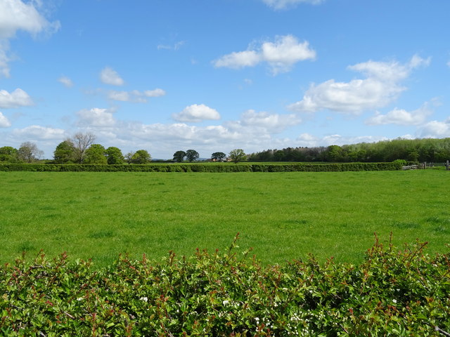
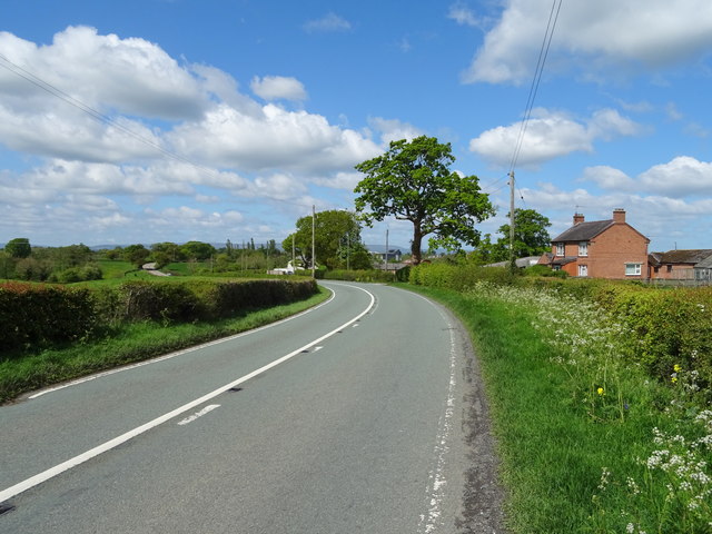
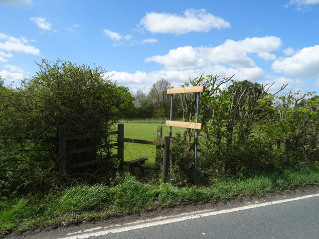
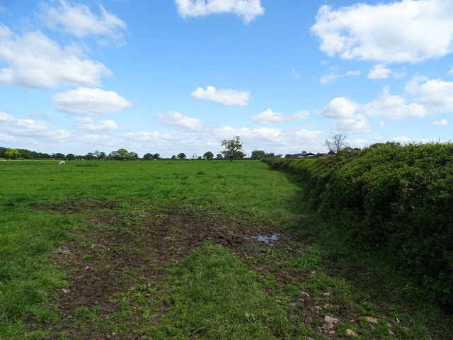
Kitchen Wood Images

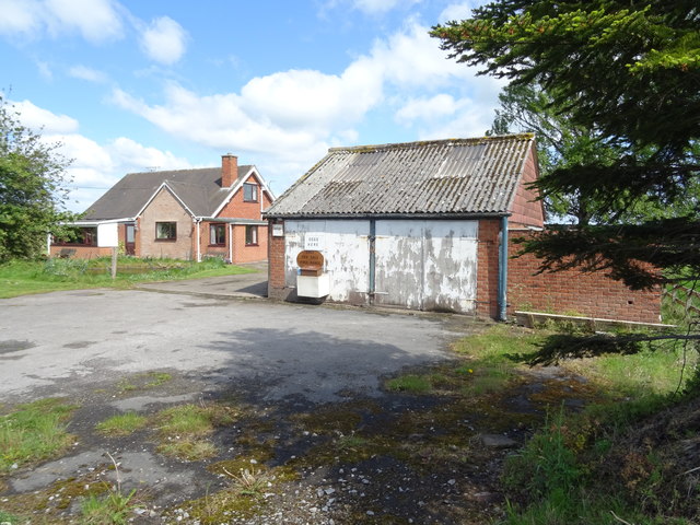
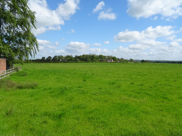
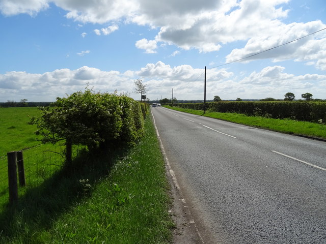
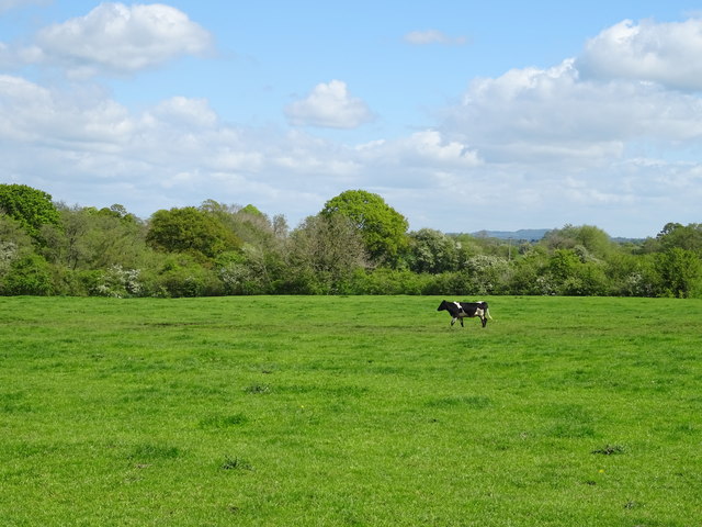
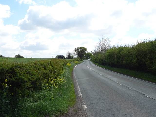
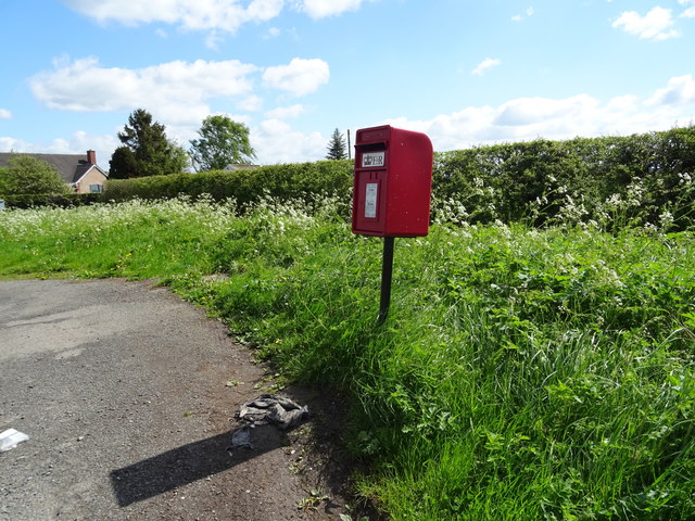
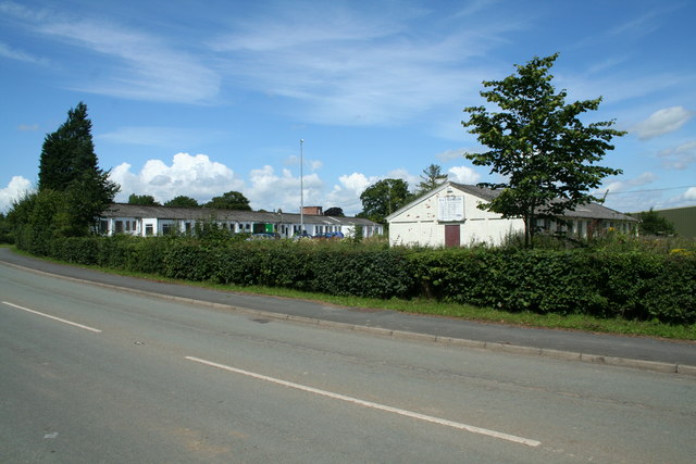
Images are sourced within 2km of 52.979109/-2.8732009 or Grid Reference SJ4142. Thanks to Geograph Open Source API. All images are credited.

Grazing off the A525
A525 towards Wrexham Looking north west.
A525 towards Wrexham
Looking north west.
Howeswood Farm on Hollybush Lane.
Howeswood
Farm on Hollybush Lane.
Hollybush Lane Looking south near Holly Bush Farm.
Hollybush Lane
Looking south near Holly Bush Farm.
Treetops House on the A525
Treetops
House on the A525
Grazing near Treetops Off the A525.
Grazing near Treetops
Off the A525.
A525 towards Whitchurch Looking south east.
A525 towards Whitchurch
Looking south east.
Grazing near Halghton Farm Off the A525.
Grazing near Halghton Farm
Off the A525.
A525 near Halghton Farm Looking south east - direction Whitchurch.
A525 near Halghton Farm
Looking south east - direction Whitchurch.
Grazing near Pandy Farm Off Halghton Lane.
Grazing near Pandy Farm
Off Halghton Lane.
Halghton Lane Looking south east.
Halghton Lane
Looking south east.
Grange Farm On the A525.
Grange Farm
On the A525.
Grazing near Grange Farm Off the A525.
Grazing near Grange Farm
Off the A525.
A525 towards Wrexham Looking north west - Pools Farm on the right.
A525 towards Wrexham
Looking north west - Pools Farm on the right.
Footpath off the A525
Grazing and hedgerow near Plassey Off the A525.
Grazing and hedgerow near Plassey
Off the A525.
A525 towards Whitchurch Looking south east.
A525 towards Whitchurch
Looking south east.
Elizabeth II postbox on Hollybush Lane, Holly Bush Postbox No. LL13 24.

See <a href="https://www.geograph.org.uk/photo/6142522">SJ4044 : Close up, Elizabeth II postbox on Hollybush Lane, Holly Bush</a> for close up.
Elizabeth II postbox on Hollybush Lane, Holly Bush
Show me another place!

Kitchen Wood is located at Grid Ref: SJ4142 (Lat: 52.979109, Lng: -2.8732009)

Unitary Authority: Wrexham

Police Authority: North Wales

What 3 Words

///ferried.shave.rebounded. Near Overton, Wrexham

Nearby Locations

Kitchen Wood Halghton Hall

Related Wikis

Cloy Halt railway station

Cloy Halt railway station was a station to the east of Overton-on-Dee, Wrexham, Wales. The station was opened on 30 June 1932 and closed on 10 September...

Cloy Brook Pastures

Cloy Brook Pastures is a Site of Special Scientific Interest in the preserved county of Clwyd, north Wales. It is an area of wet pasture managed by grazing...

Halghton

Halghton (Welsh: Halchdyn) is a dispersed settlement and former civil parish in the east of Wrexham County Borough, Wales. It is part of the community...

Penley Community Hospital

Penley Community Hospital (Welsh: Ysbyty Cymuned Llannerch Banna) is a former community hospital dedicated to Polish ex-servicemen in Penley, Wales. It...

Nearby Amenities

Located within 500m of 52.979109,-2.8732009
The data included in this document is from www.openstreetmap.org. The data is made available under ODbL.

Have you been to Kitchen Wood?

Leave your review of Kitchen Wood below (or comments, questions and feedback).