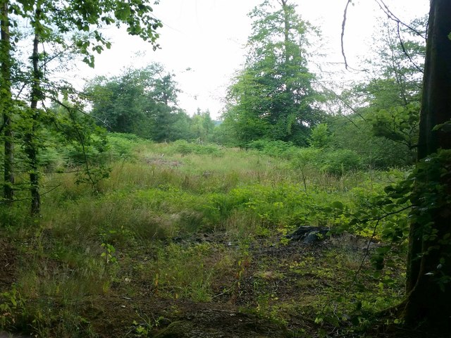
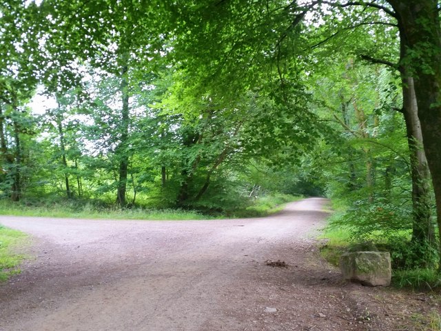
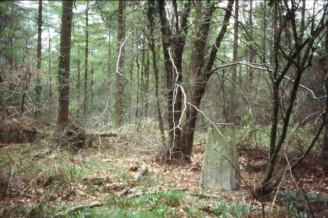
Coed Argoed

Wood, Forest in Monmouthshire

Wales

Coed Argoed

Wentwood Forest road The road ascends from Penhow to the crest of the Wentwood Hills.
Wentwood Forest road Credit: Jonathan Billinger

The requested URL returned error: 429 Too Many Requests

If you have any feedback on the listing, please let us know in the comments section below.
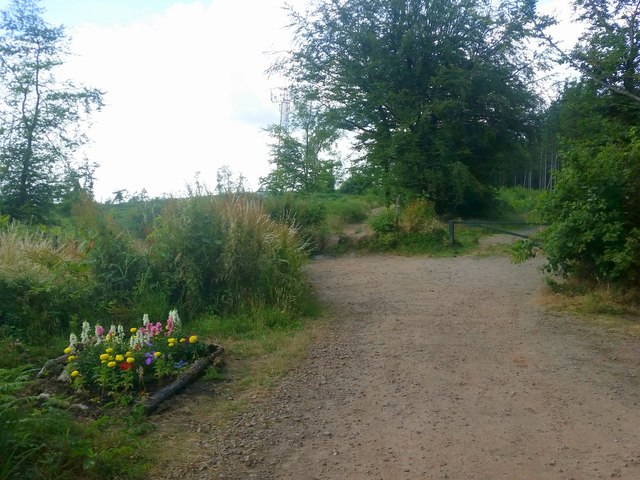
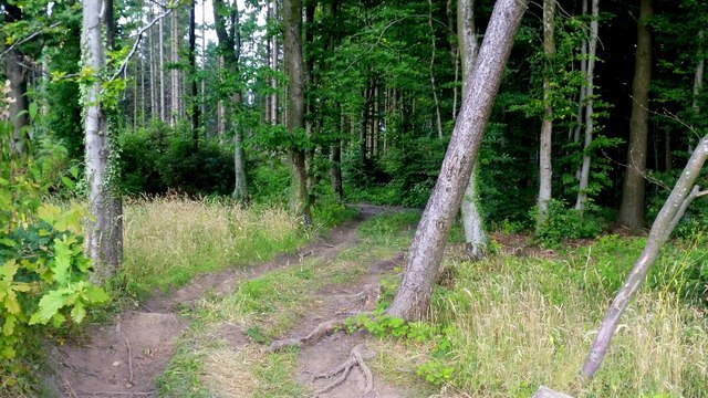
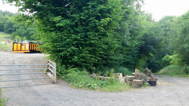
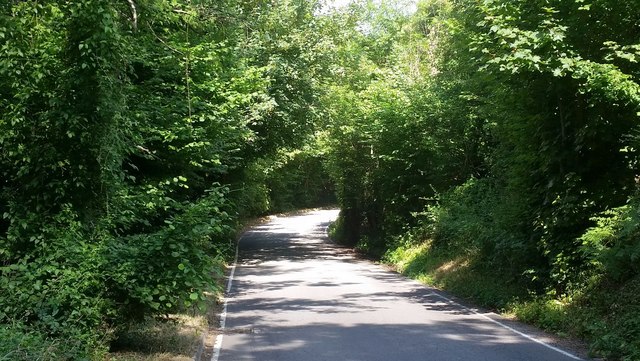
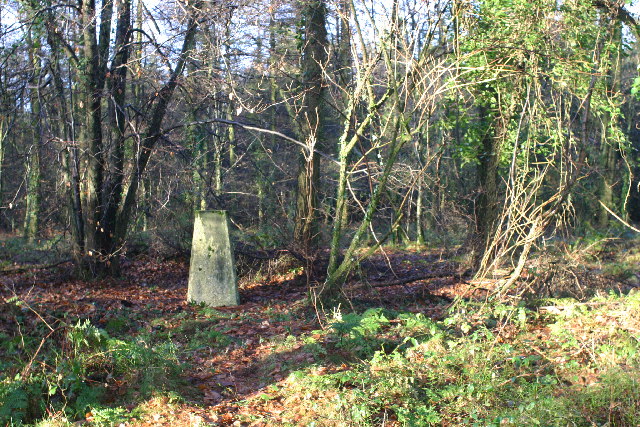
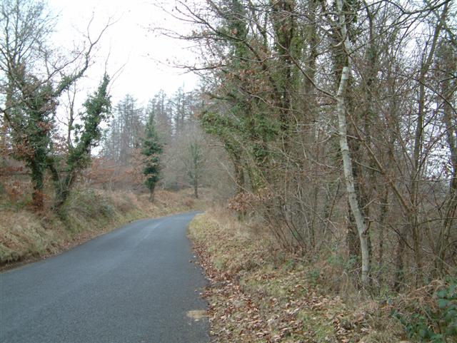
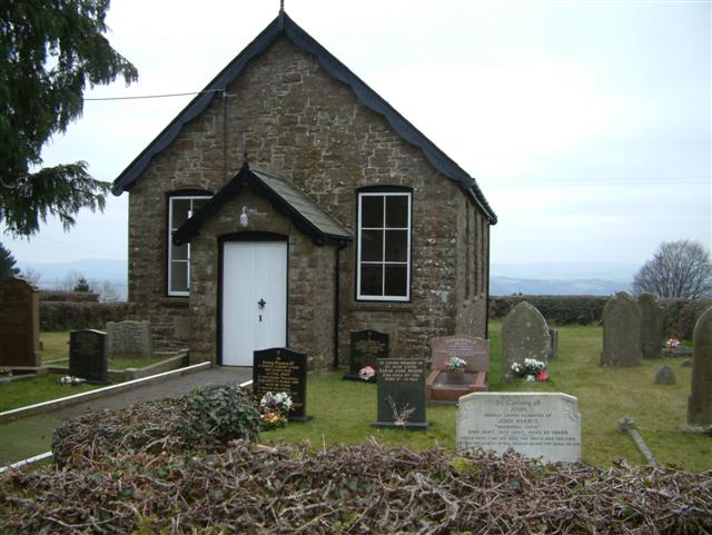
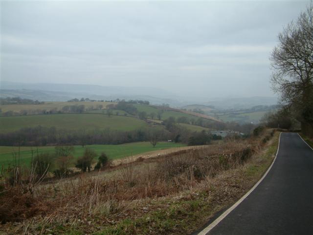
Coed Argoed Images

Images are sourced within 2km of 51.64597/-2.862795 or Grid Reference ST4094. Thanks to Geograph Open Source API. All images are credited.

Wentwood Forest road The road ascends from Penhow to the crest of the Wentwood Hills.
Wentwood Forest road
The road ascends from Penhow to the crest of the Wentwood Hills.
Wentwood The forest consists of blocks of conifer with broadleaves lining roads and tracks.
Wentwood
The forest consists of blocks of conifer with broadleaves lining roads and tracks.
Wentwood Forest Looking east from the road at <a href="https://www.geograph.org.uk/photo/5854443">ST4093 : Wentwood Forest road</a> the blocks of conifer and bands of broadleaves can be seen.
Wentwood Forest
Looking east from the road at ST4093 : Wentwood Forest road the blocks of conifer and bands of broadleaves can be seen.
View from Little Oak, Wentwood In the foreground, some clearfell of the conifers of Wentwood. Centre middle distance is the wooded top of Mynydd Alltir-fach. In the far distance is the Second Severn Crossing and Bristolshire on the English side.
View from Little Oak, Wentwood
In the foreground, some clearfell of the conifers of Wentwood. Centre middle distance is the wooded top of Mynydd Alltir-fach. In the far distance is the Second Severn Crossing and Bristolshire on the English side.
Beech-lined forest track Broadleaves are established along roads and tracks and the forest is infilled with conifers.
Beech-lined forest track
Broadleaves are established along roads and tracks and the forest is infilled with conifers.
Approaching Wentwood summit Looking west towards the phone mast.
To the left is one of those shrines that are increasingly popping-up on scenic locations and scenes of accidents.
Approaching Wentwood summit
Looking west towards the phone mast. To the left is one of those shrines that are increasingly popping-up on scenic locations and scenes of accidents.
Track into Wentwood Looks like an entry point, authorised or otherwise, for 4x4 vehicles into the forest.
Track into Wentwood
Looks like an entry point, authorised or otherwise, for 4x4 vehicles into the forest.
Forestry activities A brightly coloured skip and some cut wood by the public path into the Wentwood forest.
Forestry activities
A brightly coloured skip and some cut wood by the public path into the Wentwood forest.
Road through Darren Wood The road descends towards the Usk valley from the Wentwood summit.
Road through Darren Wood
The road descends towards the Usk valley from the Wentwood summit.
Pencaemawr Methodist Chapel Tiny chapel is still in use although it would seem to be a very isolated scattered parish at the top of the Wentwood Hills.
The windows have been replaced since <a href="https://www.geograph.org.uk/photo/118620">ST4195 : Chapel</a>, the First Geograph for the square, was taken in 2006.
Pencaemawr Methodist Chapel
Tiny chapel is still in use although it would seem to be a very isolated scattered parish at the top of the Wentwood Hills. The windows have been replaced since ST4195 : Chapel, the First Geograph for the square, was taken in 2006.
Wentwood at Cadira Beeches, 1 A view of an open broadleaf section of the forest.
Wentwood at Cadira Beeches, 1
A view of an open broadleaf section of the forest.
Wentwood at Cadira Beeches, 2 Track to the left is a bridleway north over the summit and descending to Bluebell Farm.
Wentwood at Cadira Beeches, 2
Track to the left is a bridleway north over the summit and descending to Bluebell Farm.
Wentwood Summit The highest point of Wentwood, deep in the forest.
Wentwood Summit
The highest point of Wentwood, deep in the forest.
Wentwood trig
Wentwood trig
The Road through Wentwood Forest
Chapel
Chapel
Ysguborwen Looking NorthWest
Ysguborwen
Looking NorthWest
The Curley Oak This atmospheric old veteran is one of the few remnants of the woodpasture phase of Wentwood's history.
The Curley Oak
This atmospheric old veteran is one of the few remnants of the woodpasture phase of Wentwood's history.
Show me another place!

Coed Argoed is located at Grid Ref: ST4094 (Lat: 51.64597, Lng: -2.862795)

Unitary Authority: Monmouthshire

Police Authority: Gwent

What 3 Words

///something.launcher.glassware. Near Llangybi, Monmouthshire

Related Wikis

Bertholey House

Bertholey House, is a country house near the village of Llantrisant, in Monmouthshire, Wales. A Tudor house originally stood on the site, the home of...

Pen-y-cae-mawr

Pen-y-cae-mawr is a small hamlet above the Wentwood Forest in Monmouthshire, Wales. It lies about 2 miles (3.2 km) east of Llantrisant. There are two farms...

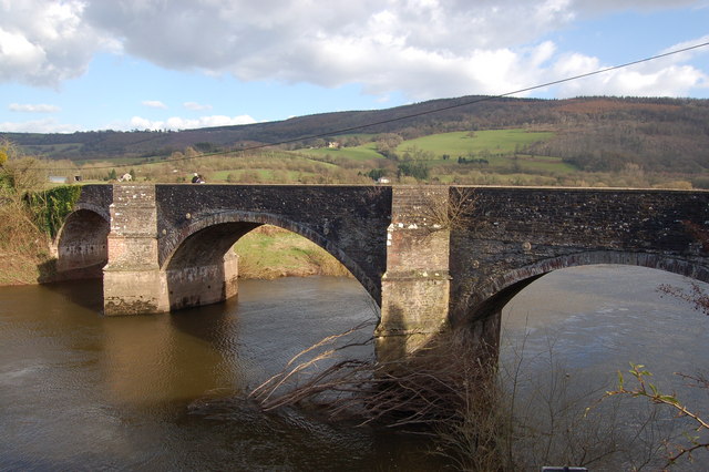
New Bridge, Newbridge-on-Usk

New Bridge crosses the River Usk at Newbridge-on-Usk between Usk and Caerleon. The bridge carries the B4236. It was constructed in 1779, probably by William...

Newbridge-on-Usk

Newbridge-on-Usk (Welsh: Pontnewydd ar Wysg) is a hamlet in the village and parish of Tredunnock, near Usk, Monmouthshire, south east Wales, in the United...

Nearby Amenities

Located within 500m of 51.64597,-2.862795
Coed Argoed
Place: locality
Lat/Long: 51.6462239/-2.8632104
Daren House
Place: locality
Lat/Long: 51.6471492/-2.8614149
Newhouse Wood
Place: locality
Lat/Long: 51.6489996/-2.8614301
The data included in this document is from www.openstreetmap.org. The data is made available under ODbL.

Have you been to Coed Argoed?

Leave your review of Coed Argoed below (or comments, questions and feedback).