Cae-Wall Wood
Wood, Forest in Monmouthshire
Wales
Cae-Wall Wood

Cae-Wall Wood is a beautiful forest located in Monmouthshire, Wales. Covering an area of approximately 50 acres, this woodland is a popular destination for nature lovers and outdoor enthusiasts. The forest is home to a diverse range of flora and fauna, including oak, beech, and ash trees, as well as a variety of wildlife such as deer, squirrels, and birds.
Cae-Wall Wood offers visitors a tranquil and peaceful setting to explore and enjoy the natural surroundings. There are several walking and hiking trails that wind through the forest, providing opportunities for both leisurely strolls and more challenging hikes. The forest also features a picnic area, making it a great spot for a relaxing day out with family and friends.
In addition to its natural beauty, Cae-Wall Wood has historical significance as well. The forest is believed to have been used as a hunting ground in medieval times, and there are remnants of ancient structures scattered throughout the area.
Overall, Cae-Wall Wood is a wonderful destination for those looking to experience the beauty of nature in Monmouthshire. Whether you're a hiker, a wildlife enthusiast, or simply someone seeking a peaceful escape from the hustle and bustle of everyday life, this forest has something to offer everyone.
If you have any feedback on the listing, please let us know in the comments section below.
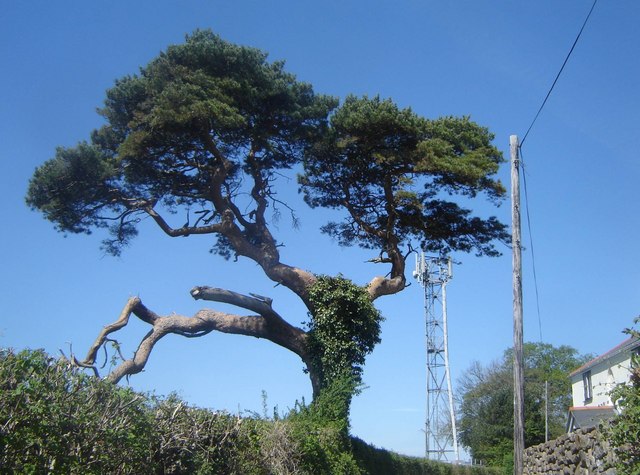
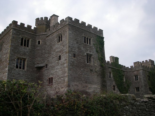
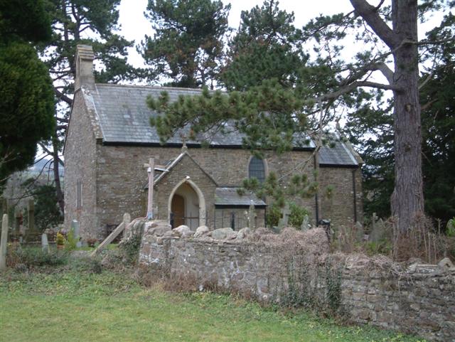
Cae-Wall Wood Images
Images are sourced within 2km of 51.597438/-2.8622934 or Grid Reference ST4089. Thanks to Geograph Open Source API. All images are credited.


Cae-Wall Wood is located at Grid Ref: ST4089 (Lat: 51.597438, Lng: -2.8622934)
Unitary Authority: Newport
Police Authority: Gwent
What 3 Words
///fatherly.poetic.thread. Near Bishton, Newport
Nearby Locations
Related Wikis
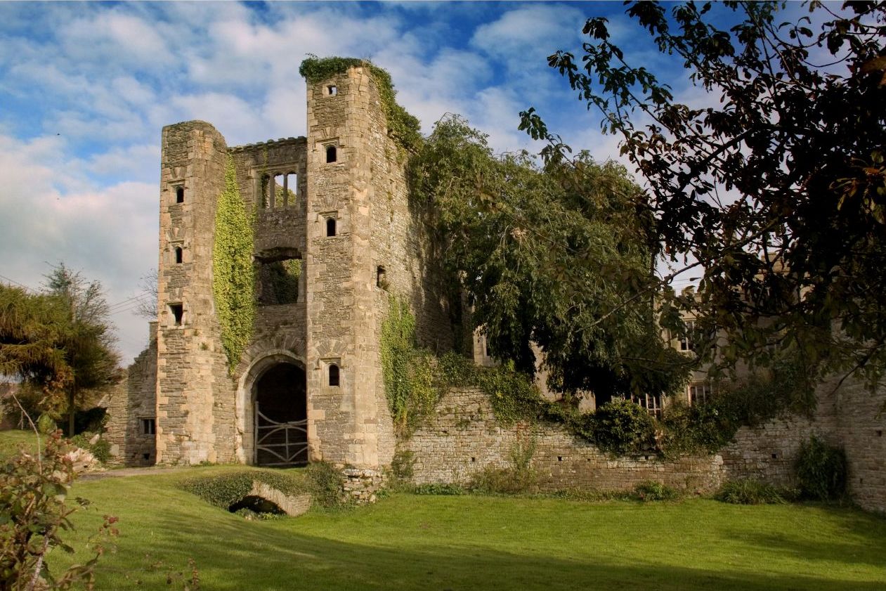
Pencoed Castle
Pencoed Castle is a ruined Tudor mansion, largely dating from the 16th century, in the parish of Llanmartin, now within the city of Newport, south Wales...
Llandevaud
Llandevaud is a small hamlet in east Newport, Wales with a church about a half mile from the village centre, going down towards The Foresters Oaks, a restaurant...
Llanmartin
Llanmartin (Welsh: Llanfarthyn) is a village and parish in the city of Newport, Wales. == The community == The parish contains several communities and...

Wilcrick
Wilcrick (Welsh: Chwilgrug) is a hamlet within the administrative boundary of the city of Newport, South Wales, just to the west of Magor and approximately...
Nearby Amenities
Located within 500m of 51.597438,-2.8622934Have you been to Cae-Wall Wood?
Leave your review of Cae-Wall Wood below (or comments, questions and feedback).