Coed Garw

Wood, Forest in Monmouthshire

Wales

Coed Garw

Farmland above Nant-y-March Farmland in the valley of Nant y March to the south of Llangwm.
Farmland above Nant-y-March Credit: Philip Halling

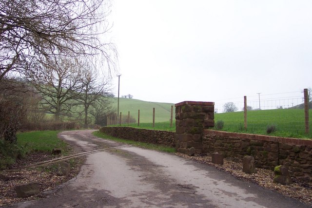
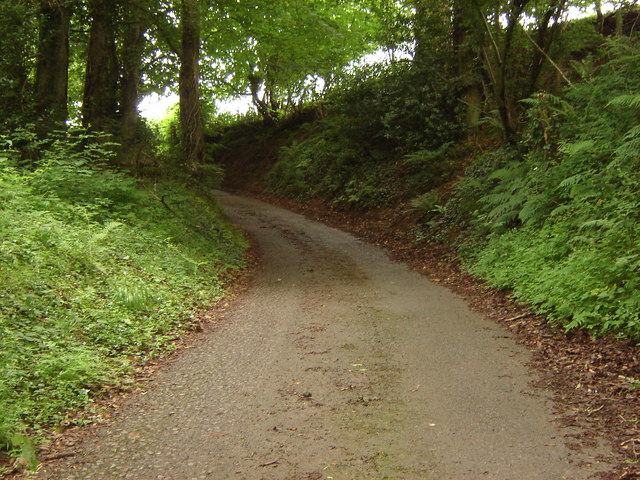
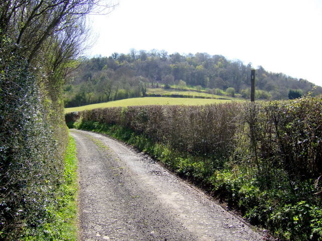
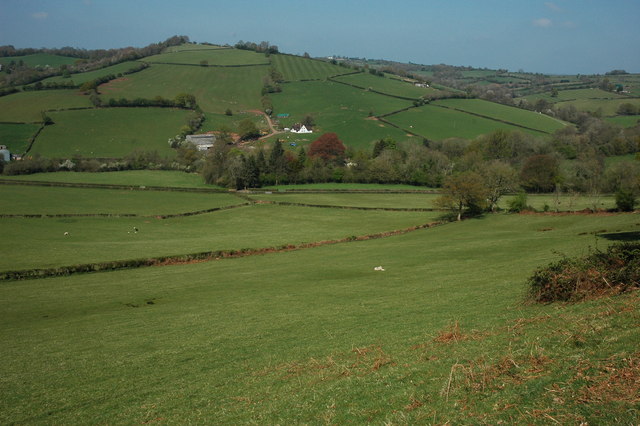
Coed Garw is a woodland located in Monmouthshire, Wales. This forested area covers approximately 200 hectares and is known for its diverse range of trees and wildlife. The forest is a mixture of both coniferous and deciduous trees, including oak, beech, pine, and fir, creating a rich and varied landscape.

Coed Garw is a popular destination for nature lovers, hikers, and birdwatchers, with several well-marked trails winding through the forest. Visitors can expect to see a variety of bird species, such as woodpeckers, jays, and buzzards, as well as mammals like deer, foxes, and squirrels.

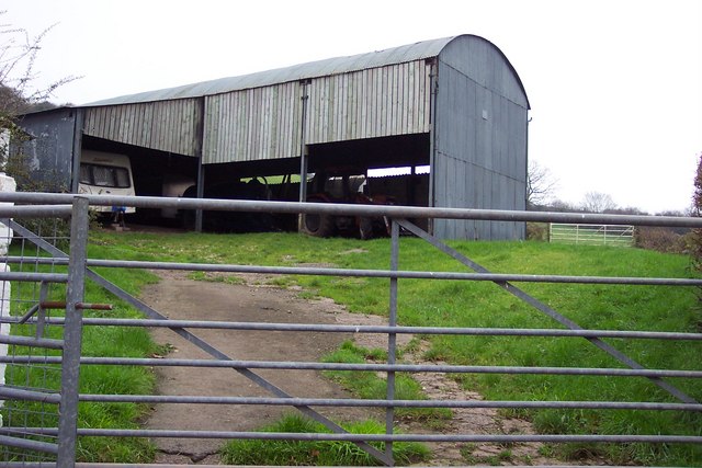
The forest is also home to a number of rare plant species, adding to its ecological importance. In addition to its natural beauty, Coed Garw is also a site of historical significance, with evidence of ancient settlements and mining activity dating back centuries.

Overall, Coed Garw offers visitors a tranquil and scenic escape from the hustle and bustle of everyday life, providing a peaceful retreat in the heart of Monmouthshire's countryside.

If you have any feedback on the listing, please let us know in the comments section below.

Coed Garw Images

Images are sourced within 2km of 51.681054/-2.8689437 or Grid Reference ST4098. Thanks to Geograph Open Source API. All images are credited.

Farmland above Nant-y-March Farmland in the valley of Nant y March to the south of Llangwm.
Farmland above Nant-y-March
Farmland in the valley of Nant y March to the south of Llangwm.
Unsuitable for heavy goods vehicles The signs reads 'Unsuitable for heavy goods vehicles', I not sure it is even a through road having looked at the OS map.  Pictured at a country road junction at Coed Cwnwr.
Unsuitable for heavy goods vehicles
The signs reads 'Unsuitable for heavy goods vehicles', I not sure it is even a through road having looked at the OS map. Pictured at a country road junction at Coed Cwnwr.
Road above Llewelyn's Dingle Country road to Llanllowell, above Llewelyn's Dingle.
Road above Llewelyn's Dingle
Country road to Llanllowell, above Llewelyn's Dingle.
Carna Cottage House is named on OS mapping and viewed from the public road.
Carna Cottage
House is named on OS mapping and viewed from the public road.
Extended cottage At Coed-Cwnwr.
Extended cottage
At Coed-Cwnwr.
Moggies in hiding At Coed-Cwnwr Farm
Moggies in hiding
At Coed-Cwnwr Farm
Grass Ski Centre An unprepossessing drive to a rare outdoor activity.
Grass Ski Centre
An unprepossessing drive to a rare outdoor activity.
Barn at Arch Farm
Barn at Arch Farm
Lane rising to meet field boundary, Gwern ddu Hill
Road junction and entrance to Trelay
Turn right to The Warren, left to Craig-y-Master
Lane from The Warren
View to the Golden Hill The wooded hill is viewed from a footpath to the east of Warren Lane.
Hazel plantation to the right.
View to the Golden Hill
The wooded hill is viewed from a footpath to the east of Warren Lane. Hazel plantation to the right.
Warren Lane Looking south with Warren Wood in view.
Warren Lane
Looking south with Warren Wood in view.
Rowan leaves and buds Sorbus sp. on the edge of a hazel copse by Warren Lane.
Rowan leaves and buds
Sorbus sp. on the edge of a hazel copse by Warren Lane.
Warren Lane Leading to Rhydwern and Warren Wood on the hill in the distance.
Warren Lane
Leading to Rhydwern and Warren Wood on the hill in the distance.
Stock enclosure To the west of Warren Lane, near the track to Ty-pwca.
Stock enclosure
To the west of Warren Lane, near the track to Ty-pwca.
View north from Corn Hill Gwern-Ddu Hill viewed from Corn Hill.
View north from Corn Hill
Gwern-Ddu Hill viewed from Corn Hill.
Show me another place!

Coed Garw is located at Grid Ref: ST4098 (Lat: 51.681054, Lng: -2.8689437)

Unitary Authority: Monmouthshire

Police Authority: Gwent

What 3 Words

///squaring.battle.strong. Near Llanbadoc, Monmouthshire

Related Wikis

Llantrisant Fawr

Llantrisant Fawr is a community in Monmouthshire, Wales. Villages within the community include Llantrisant and Llanllowell. The community council has three...

Llanllowell

Llanllowell (Welsh: Llanllywel) is a village in Monmouthshire, southeast Wales, in the United Kingdom. It is two miles southeast of Usk, in the community...

Pentwyn, Llanllowell

Pentwyn, Llanllowell, Monmouthshire is a farmhouse dating from the mid-16th century. The house is Grade II* listed, with the adjacent barn having its own...

The Cwm, Llantrisant, Monmouthshire

The Cwm, Llantrisant, Monmouthshire is a farmhouse dating from the 16th century. Expanded in both the 17th and 18th centuries, The Cwm is a Grade II* listed...

Nearby Amenities

Located within 500m of 51.681054,-2.8689437
The data included in this document is from www.openstreetmap.org. The data is made available under ODbL.

Have you been to Coed Garw?

Leave your review of Coed Garw below (or comments, questions and feedback).