Bridge Wood

Wood, Forest in Flintshire

Wales

Bridge Wood
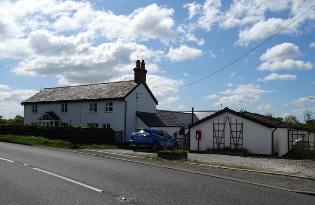
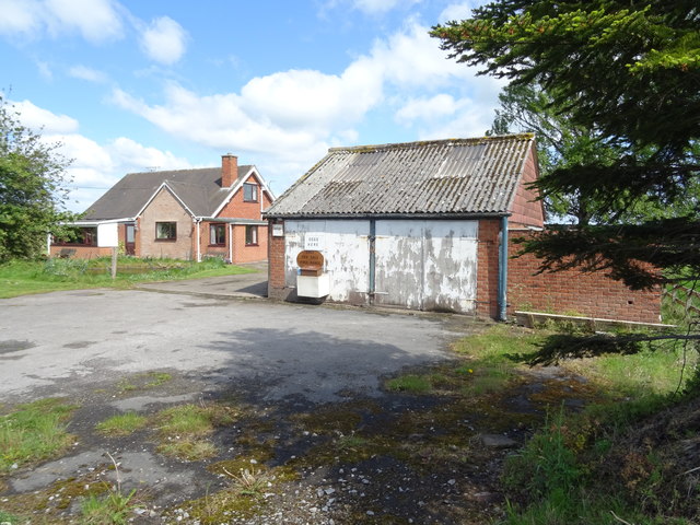
Orchard Farm On the A525.
Orchard Farm Credit: JThomas

The requested URL returned error: 429 Too Many Requests

If you have any feedback on the listing, please let us know in the comments section below.

Bridge Wood Images

Images are sourced within 2km of 52.983431/-2.8987439 or Grid Reference SJ3943. Thanks to Geograph Open Source API. All images are credited.
Orchard Farm On the A525.
Orchard Farm
On the A525.
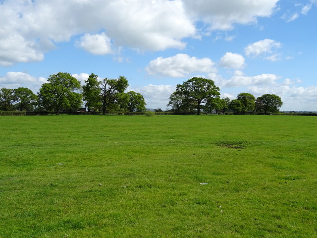
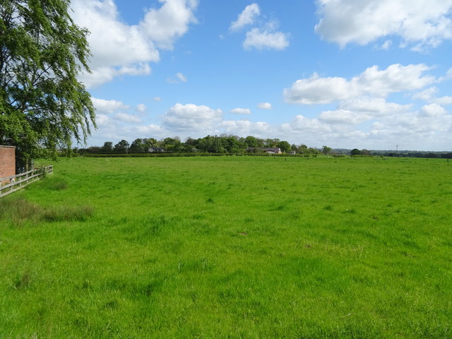
Grazing off the A525
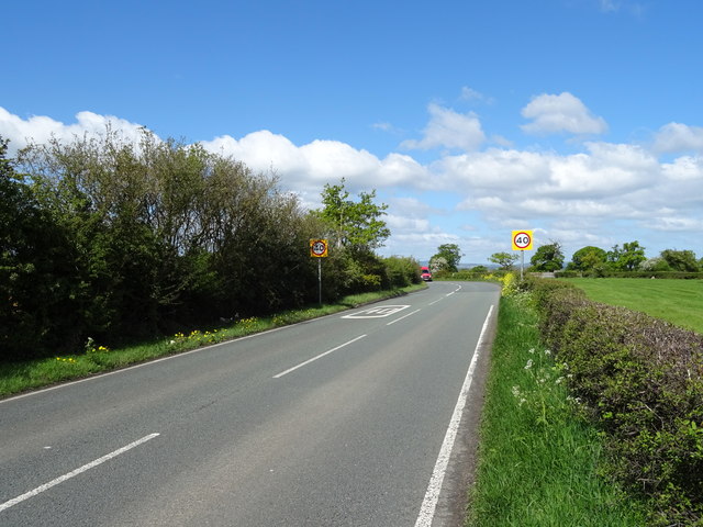
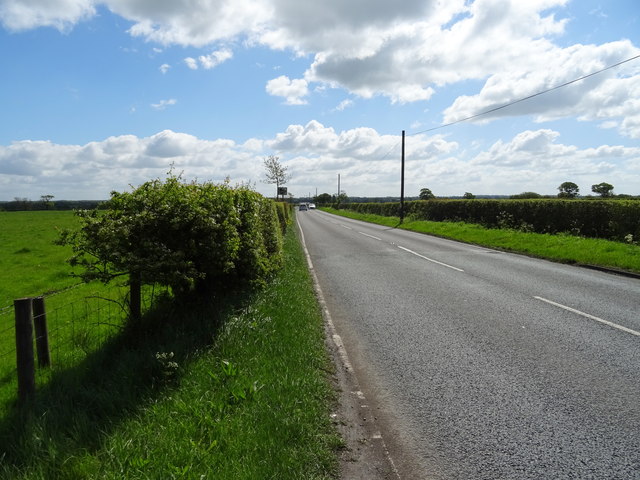
A525 towards Wrexham Looking north west.
A525 towards Wrexham
Looking north west.
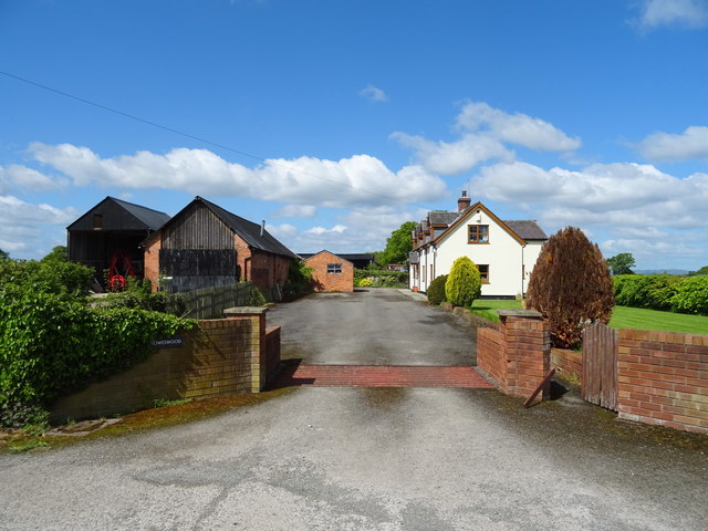
Howeswood Farm on Hollybush Lane.
Howeswood
Farm on Hollybush Lane.
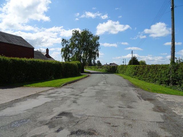
Hollybush Lane Looking south near Holly Bush Farm.
Hollybush Lane
Looking south near Holly Bush Farm.
Treetops House on the A525
Treetops
House on the A525
Grazing near Treetops Off the A525.
Grazing near Treetops
Off the A525.
A525 towards Whitchurch Looking south east.
A525 towards Whitchurch
Looking south east.
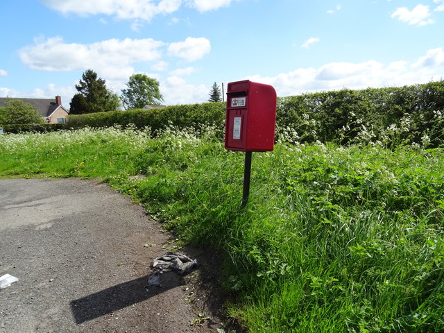
Elizabeth II postbox on Hollybush Lane, Holly Bush Postbox No. LL13 24.

See <a href="https://www.geograph.org.uk/photo/6142522">SJ4044 : Close up, Elizabeth II postbox on Hollybush Lane, Holly Bush</a> for close up.
Elizabeth II postbox on Hollybush Lane, Holly Bush
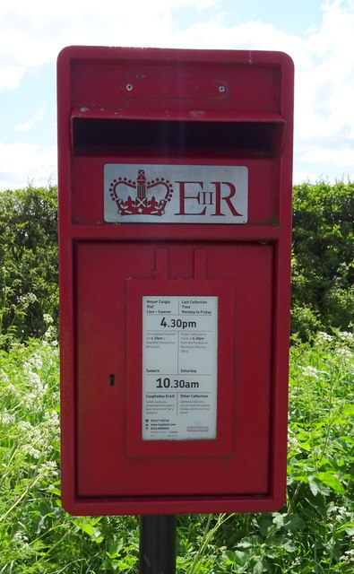
Close up, Elizabeth II postbox on Hollybush Lane, Holly Bush Postbox No. LL13 24.

See <a href="https://www.geograph.org.uk/photo/6142520">SJ4044 : Elizabeth II postbox on Hollybush Lane, Holly Bush</a> for wider view.
Close up, Elizabeth II postbox on Hollybush Lane, Holly Bush
Postbox No. LL13 24. See SJ4044 : Elizabeth II postbox on Hollybush Lane, Holly Bush for wider view.
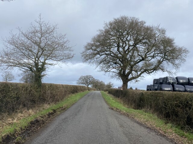
Hollybush Lane
Hollybush Lane
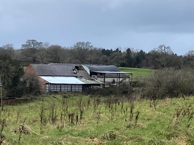
In need of repair Farm buildings at Rhyd-y-cyffyn.
In need of repair
Farm buildings at Rhyd-y-cyffyn.
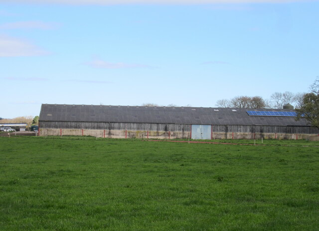
Barn at Cloy Hall
Barn at Cloy Hall
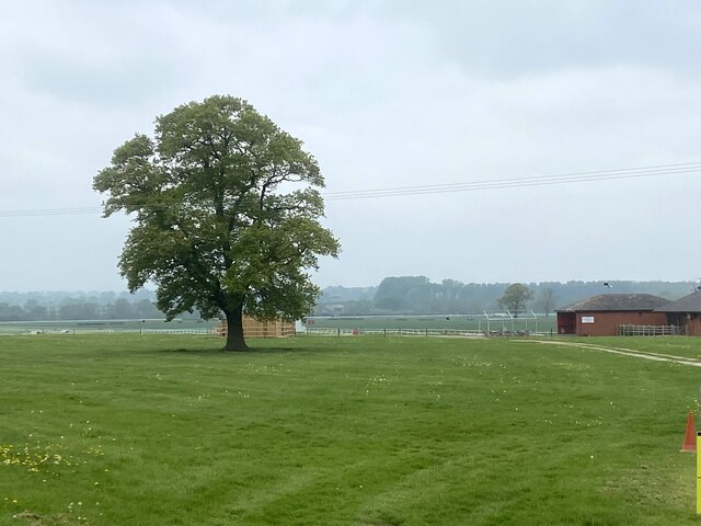
Bangor racecourse Viewed from the B5069.
Bangor racecourse
Viewed from the B5069.
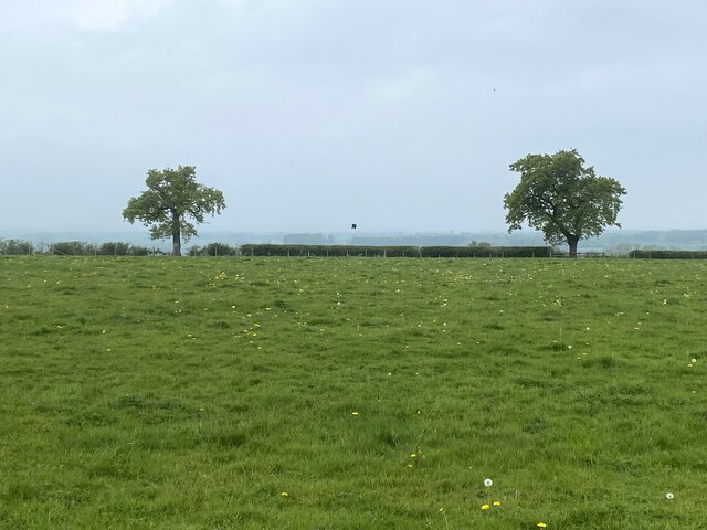
Field with two trees At Cloy Farm.
Field with two trees
At Cloy Farm.
New access road at Cloy Hall Dairy Cloy Hall Dairy is a large dairy farm consisting mainly modern dairy buildings. Pressure on the small rural roads has led to the installation of a new access road for the cows. The underbed for the road is tile waste from the Ruabon Tile Works at Johnstown, (See <a href="https://www.geograph.org.uk/gridref/SJ3146">SJ3146</a>)
New access road at Cloy Hall Dairy
Cloy Hall Dairy is a large dairy farm consisting mainly modern dairy buildings. Pressure on the small rural roads has led to the installation of a new access road for the cows. The underbed for the road is tile waste from the Ruabon Tile Works at Johnstown, (See SJ3146)
Road or Footpath? Designated a road used as a footpath, on the O.S.Map ( First Series.) It appeared difficult either way.
Road or Footpath?
Designated a road used as a footpath, on the O.S.Map ( First Series.) It appeared difficult either way.
Salt of the Earth! Sited at the top of a sharp little incline, it would appear that having two such containers at this location indicates that a hard winter is in store.
Salt of the Earth!
Sited at the top of a sharp little incline, it would appear that having two such containers at this location indicates that a hard winter is in store.
Show me another place!

Bridge Wood is located at Grid Ref: SJ3943 (Lat: 52.983431, Lng: -2.8987439)

Unitary Authority: Wrexham

Police Authority: North Wales

What 3 Words

///widen.repaying.bride. Near Overton, Wrexham

Related Wikis

Cloy Brook Pastures

Cloy Brook Pastures is a Site of Special Scientific Interest in the preserved county of Clwyd, north Wales. It is an area of wet pasture managed by grazing...

Cloy Halt railway station

Cloy Halt railway station was a station to the east of Overton-on-Dee, Wrexham, Wales. The station was opened on 30 June 1932 and closed on 10 September...

Maelor

The Maelor is an area of north-east Wales along the border with England. It is now entirely part of Wrexham County Borough. The name Maelor is an old Welsh...

St Dunawd's Church

St Dunawd's Church, is in the village of Bangor-on-Dee, Wrexham County Borough, Wales. It is designated by Cadw as a Grade II* listed building. The church...

Nearby Amenities

Located within 500m of 52.983431,-2.8987439
Cloy
Place: hamlet
Lat/Long: 52.9809839/-2.8996373
The data included in this document is from www.openstreetmap.org. The data is made available under ODbL.

Have you been to Bridge Wood?

Leave your review of Bridge Wood below (or comments, questions and feedback).