Llech Wood
Wood, Forest in Monmouthshire
Wales
Llech Wood
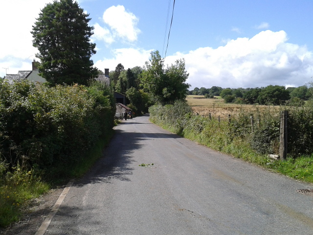
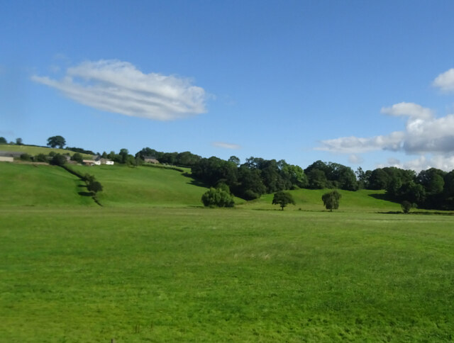
Llech Wood is a picturesque woodland located in Monmouthshire, Wales. Covering an area of approximately 50 hectares, it is nestled within the stunning landscape of the Wye Valley Area of Outstanding Natural Beauty. The wood is situated about 3 miles northeast of the town of Monmouth and is easily accessible by road.
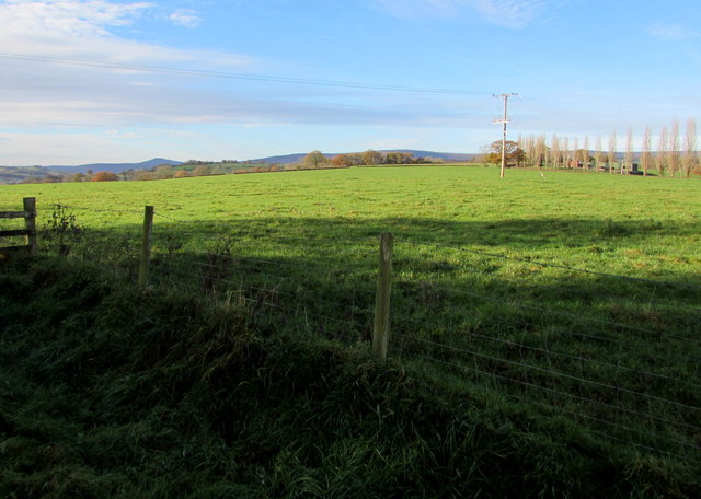
Llech Wood is renowned for its diverse flora and fauna, offering a haven for nature enthusiasts and wildlife lovers. The wood consists mainly of broadleaved trees, including oak, beech, and ash, which create a rich and vibrant canopy throughout the year. In spring, the forest floor is adorned with a colorful carpet of bluebells, primroses, and wild garlic, adding to its natural beauty.
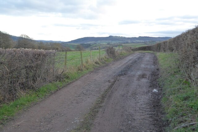
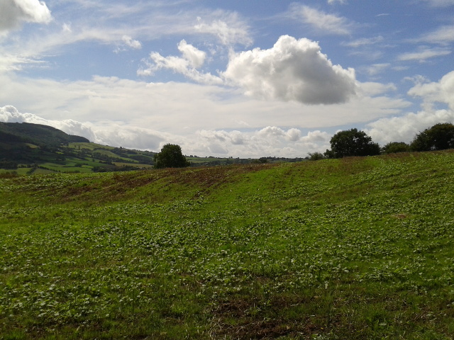
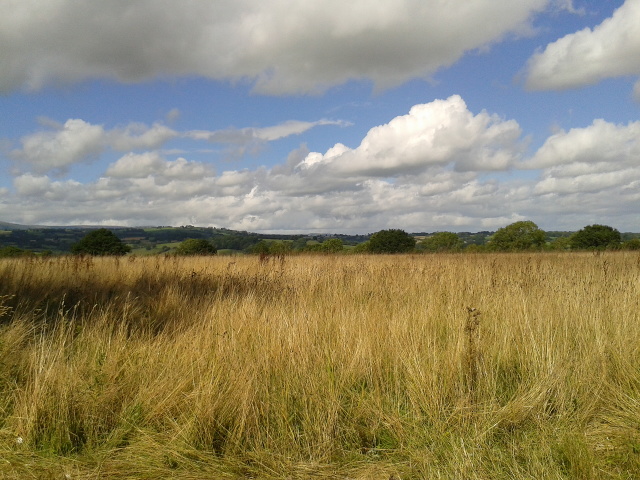
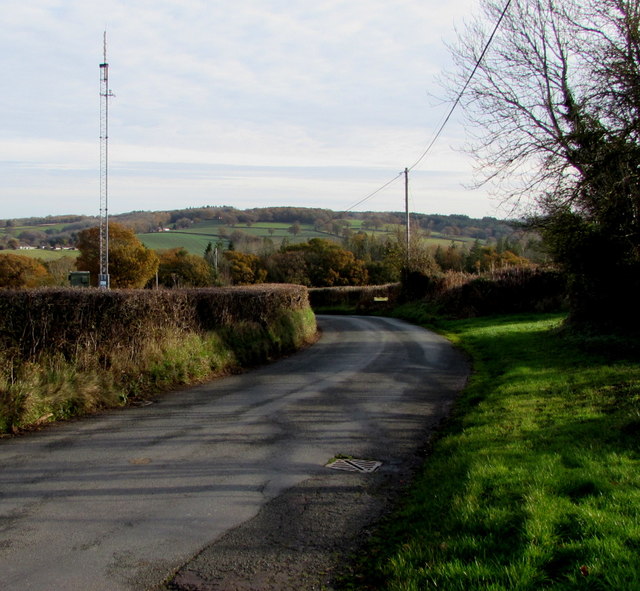
The woodland is crisscrossed by a network of well-maintained footpaths, allowing visitors to explore the area at their own pace. These paths lead to secluded glades, tranquil ponds, and hidden streams, providing a sense of serenity and tranquility. Llech Wood also offers breathtaking panoramic views of the surrounding countryside, making it a popular destination for hikers and nature photographers.
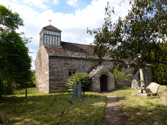
In addition to its natural beauty, Llech Wood also has a rich cultural history. The wood is home to several ancient monuments, including the remains of an Iron Age hillfort and a Roman camp, which add a layer of historical significance to the area.
Overall, Llech Wood in Monmouthshire is a true gem of natural beauty, offering visitors a chance to immerse themselves in a serene and enchanting woodland environment.
If you have any feedback on the listing, please let us know in the comments section below.
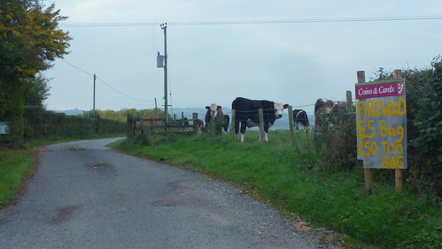
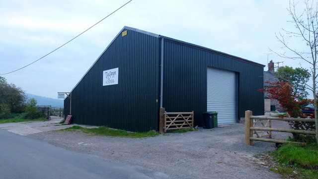
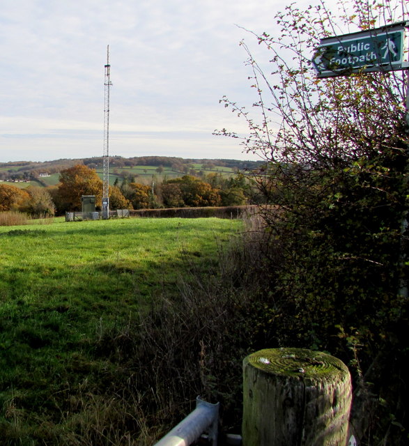
Llech Wood Images
Images are sourced within 2km of 51.92181/-2.8825725 or Grid Reference SO3925. Thanks to Geograph Open Source API. All images are credited.

Llech Wood is located at Grid Ref: SO3925 (Lat: 51.92181, Lng: -2.8825725)
Unitary Authority: Monmouthshire
Police Authority: Gwent
What 3 Words
///hurricane.speaks.clumped. Near Grosmont, Monmouthshire
Nearby Locations
Related Wikis
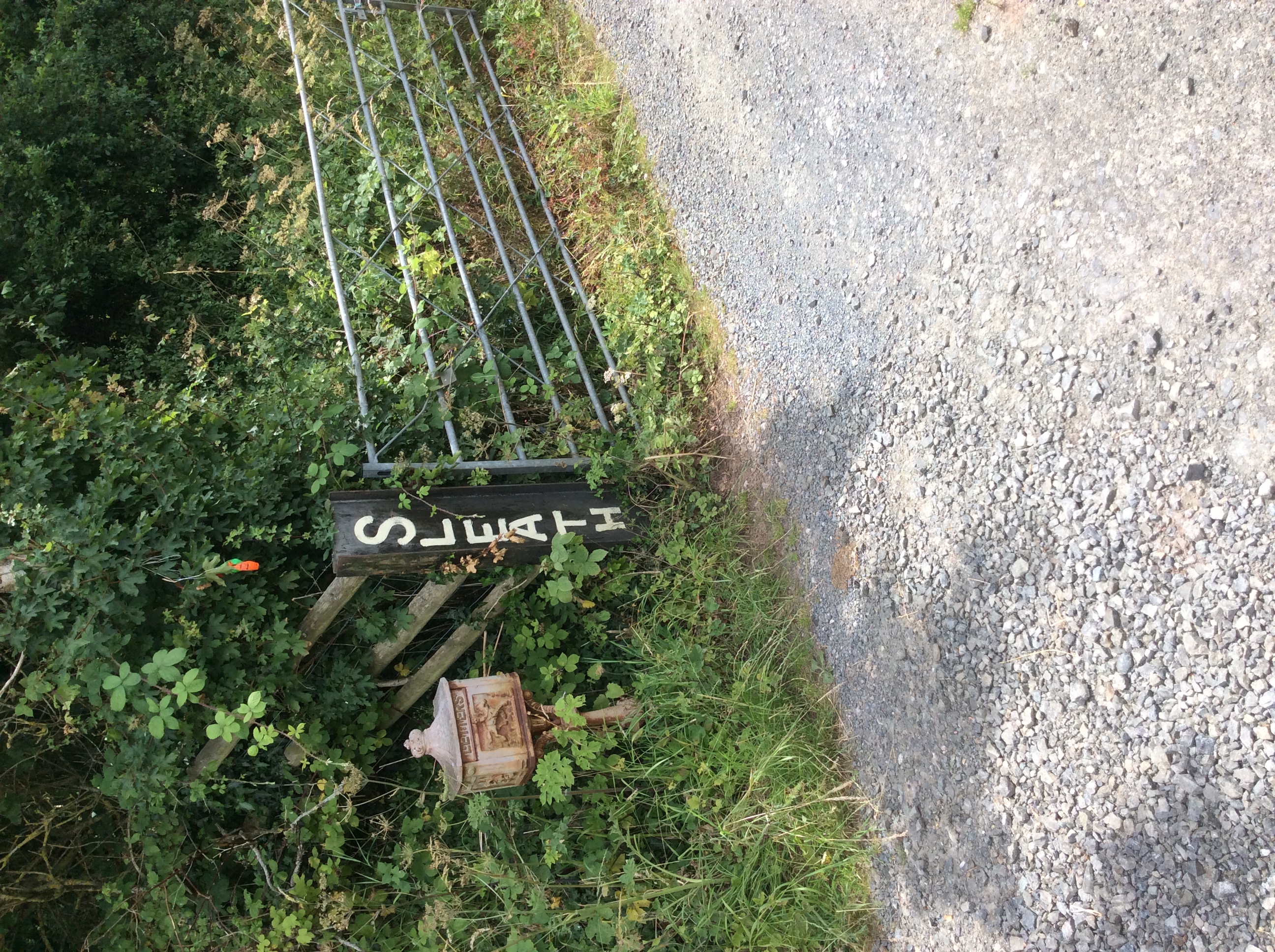
Sleath Farmhouse, Llangua
Sleath Farmhouse, Llangua, Monmouthshire is a farmhouse dating from the mid 16th century. Standing close to the Church of St James, in the far north of...

St James's Church, Llangua
The Church of St James is a former parish church at Llangua in the north-east of Monmouthshire. Although in Wales, the church is in the Church of England...

Great House Farm, Llangua
Great House Farm, or The Great House, Llangua, Monmouthshire is a farmhouse dating from the 17th century. The house is listed at Grade II*. The barn and...

Llangua
Llangua (Welsh: Llangiwa) is a small village in Grosmont community, Monmouthshire, south-east Wales, United Kingdom. Saint Ciwa is said to have built a...

Monmouth Cap
Monmouth Cap is a hamlet in the north of the county of Monmouthshire, Wales. It stands to the north of the village of Grosmont, and to the south of the...
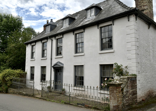
Glyndŵr House, Grosmont
Glyndŵr House, Grosmont, Monmouthshire is a village house dating from the late 17th century. It is a Grade II* listed building. == History == The frontage...

Grosmont, Monmouthshire
Grosmont (Welsh: Y Grysmwnt or Rhosllwyn) is a village and community near Abergavenny in Monmouthshire, Wales. The population taken at the 2011 census...
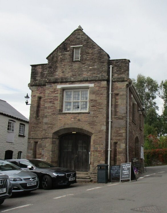
Grosmont Town Hall
Grosmont Town Hall (Welsh: Neuadd y Dref Y Grysmwnt) is a municipal building in Grosmont, Monmouthshire, Wales. The structure, which is the meeting place...
Nearby Amenities
Located within 500m of 51.92181,-2.8825725Have you been to Llech Wood?
Leave your review of Llech Wood below (or comments, questions and feedback).