Coed-y-franc

Wood, Forest in Monmouthshire

Wales

Coed-y-franc

A449 east of Newbridge-on-Usk, looking south
A449 east of Newbridge-on-Usk, looking south Credit: Colin Pyle

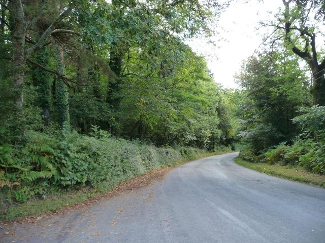
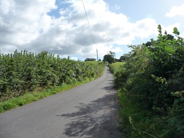
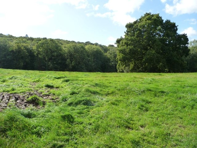
Coed-y-franc is a charming woodland area located in Monmouthshire, Wales. The name "Coed-y-franc" translates to "Wood of the ravens" in English, reflecting the area's rich natural beauty and wildlife. The forest is home to a variety of trees, including oak, beech, and birch, creating a lush and diverse landscape for visitors to explore.

Visitors to Coed-y-franc can enjoy peaceful walks along well-maintained trails, taking in the sights and sounds of the forest. Birdwatchers will delight in the opportunity to spot a variety of bird species, including the elusive raven that the forest is named after. The forest is also home to a wide range of other wildlife, such as deer, squirrels, and foxes, adding to the area's natural appeal.

Coed-y-franc is a popular destination for nature lovers and outdoor enthusiasts, offering a tranquil escape from the hustle and bustle of everyday life. Whether visitors are seeking a leisurely stroll through the woods or a more challenging hike, Coed-y-franc has something to offer for everyone. With its picturesque surroundings and abundant wildlife, Coed-y-franc is a must-visit destination for anyone looking to connect with nature in Monmouthshire.

If you have any feedback on the listing, please let us know in the comments section below.
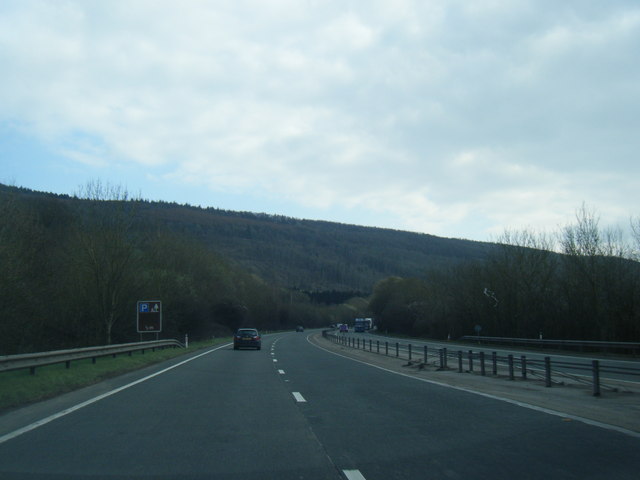
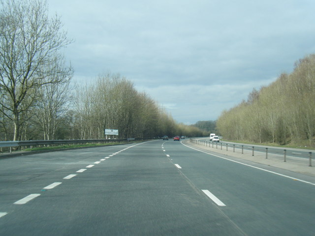
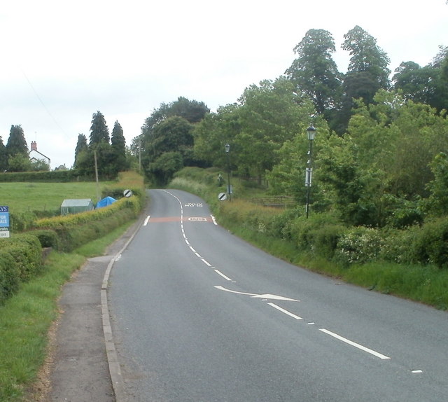
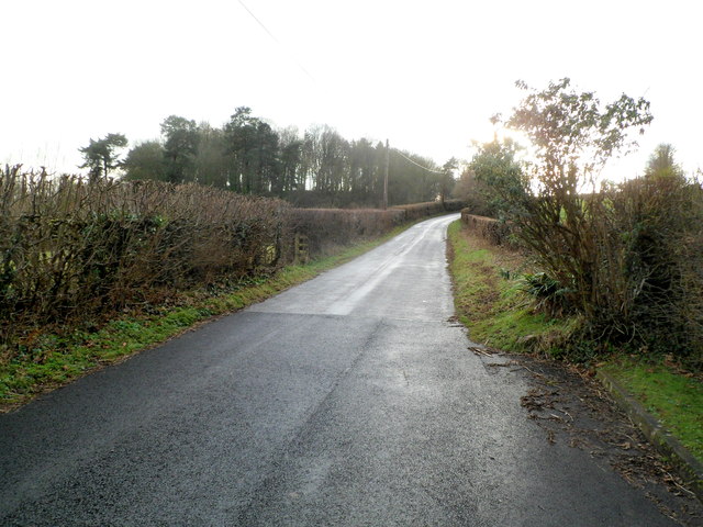
Coed-y-franc Images

Images are sourced within 2km of 51.645489/-2.9052331 or Grid Reference ST3794. Thanks to Geograph Open Source API. All images are credited.
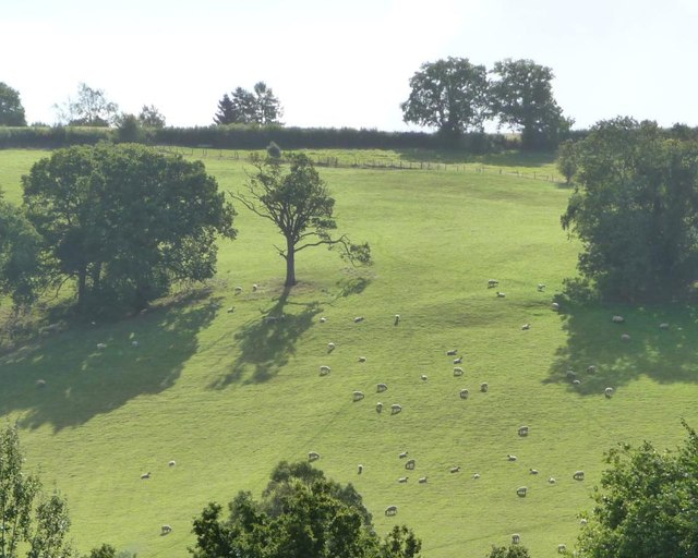
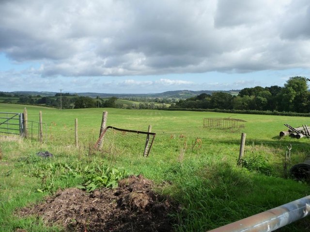
A449 east of Newbridge-on-Usk, looking south
A449 looking north
A449 looking north
Southern edge of Llangybi The road from Usk to Caerleon approaches the start of the National Speed Limit at the southern edge of the village of Llangybi (also spelt Llangibby).
Southern edge of Llangybi
The road from Usk to Caerleon approaches the start of the National Speed Limit at the southern edge of the village of Llangybi (also spelt Llangibby).
Ton Road heads SW away from Llangybi SW of The Chase, <a title="https://www.geograph.org.uk/photo/2793979" href="https://www.geograph.org.uk/photo/2793979">Link</a> the 30mph speed limit in Llangybi has increased to the National Speed Limit on Ton Road as it heads away from the main residential part of the village.
Ton Road heads SW away from Llangybi
SW of The Chase, Link the 30mph speed limit in Llangybi has increased to the National Speed Limit on Ton Road as it heads away from the main residential part of the village.
Converted Baptist chapel near Llangibby This old Victorian chapel has been converted into a home.
Converted Baptist chapel near Llangibby
This old Victorian chapel has been converted into a home.
The road near Llwyncelyn
Lay-by on the A449, near Newbridge on Usk
Cwrt Bleddyn Hotel and spa.
Cwrt Bleddyn
Hotel and spa.
Cwrt Bleddyn
Cwrt Bleddyn
Entrance to Cwrt Bleddyn
Road on the south-west edge of Llwyncelyn Wood Hbending round to the south-east.
Road on the south-west edge of Llwyncelyn Wood
Hbending round to the south-east.
Eastern entrance to Llwyncelyn More imposing than the western entrance.
Eastern entrance to Llwyncelyn
More imposing than the western entrance.
Redundant stile, Llwyncelyn boundary wall The three steps up the wall are probably still useable, but it would be impossible to get through the hedge on top.
Redundant stile, Llwyncelyn boundary wall
The three steps up the wall are probably still useable, but it would be impossible to get through the hedge on top.
Hillside sheep pasture, north of Cwm-y-wiwer Farm Long shadows in the mid-morning, because this is a west-facing slope.
Hillside sheep pasture, north of Cwm-y-wiwer Farm
Long shadows in the mid-morning, because this is a west-facing slope.
The road to Croes Llywarth Looking eastwards, just north of Madam Rogers Wood.
The road to Croes Llywarth
Looking eastwards, just north of Madam Rogers Wood.
Looking west down a ridge of farmland With Madam Rogers Wood to the left [south].
Looking west down a ridge of farmland
With Madam Rogers Wood to the left [south].
The northern edge, Madam Rogers Wood The boundary here is a stream.
The northern edge, Madam Rogers Wood
The boundary here is a stream.
New use for old bed base, east of Coed-y-fon Propped against a post and wire fence, on the north side of the road to Tredunnock.
New use for old bed base, east of Coed-y-fon
Propped against a post and wire fence, on the north side of the road to Tredunnock.
Show me another place!

Coed-y-franc is located at Grid Ref: ST3794 (Lat: 51.645489, Lng: -2.9052331)

Unitary Authority: Monmouthshire

Police Authority: Gwent

What 3 Words

///slid.online.beakers. Near Llangybi, Monmouthshire

Related Wikis

Tredunnock

Tredunnock (Welsh: Tredynog) is a small village in Monmouthshire, south east Wales, in the United Kingdom. Tredunnock is located four miles (6.4 km) northeast...

St Andrew's Church, Tredunnock

The Church of St Andrew, Tredunnock, Monmouthshire is a parish church with its origins in the 12th or 13th century. A Grade II* listed building, the church...

Newbridge-on-Usk

Newbridge-on-Usk (Welsh: Pontnewydd ar Wysg) is a hamlet in the village and parish of Tredunnock, near Usk, Monmouthshire, south east Wales, in the United...

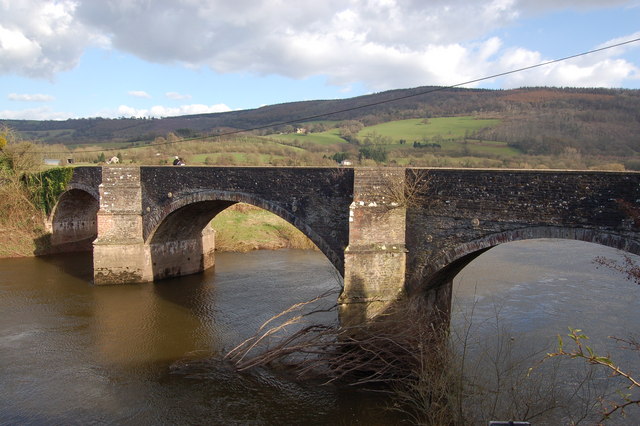
New Bridge, Newbridge-on-Usk

New Bridge crosses the River Usk at Newbridge-on-Usk between Usk and Caerleon. The bridge carries the B4236. It was constructed in 1779, probably by William...

Related Videos

My wedding day - 18.12.22 | the day I become Mrs Jones | Mr & Mrs Jones

The best day of my life. Hello my lovely bee's! Thank you for taking the time to watch my videos, it means the absolute world to me!

Nearby Amenities

Located within 500m of 51.645489,-2.9052331
Direction: 185
Generator Method: photovoltaic
Generator Output Electricity: yes
Generator Solar Modules: 20
Generator Source: solar
Generator Type: solar_photovoltaic_panel
Location: roof
Power: generator
Lat/Long: 51.6494398/-2.906498
The data included in this document is from www.openstreetmap.org. The data is made available under ODbL.

Have you been to Coed-y-franc?

Leave your review of Coed-y-franc below (or comments, questions and feedback).