Upper Llancayo Wood

Wood, Forest in Monmouthshire

Wales

Upper Llancayo Wood

Raglan Road Looking north towards Raglan (the original A449) at the entrance to Park House.
Footpath sign to Coed Canol on the other side of the road.
Raglan Road Credit: Jonathan Billinger

The requested URL returned error: 429 Too Many Requests

If you have any feedback on the listing, please let us know in the comments section below.

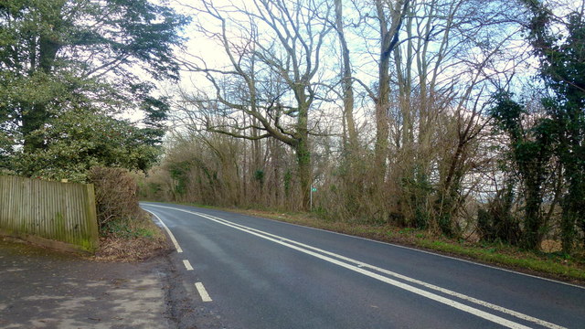
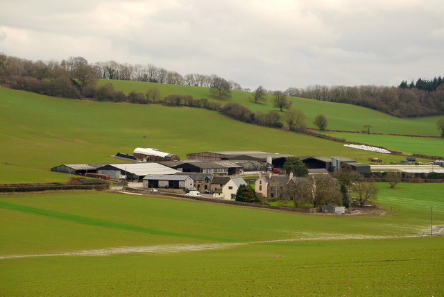
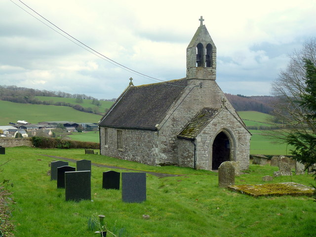
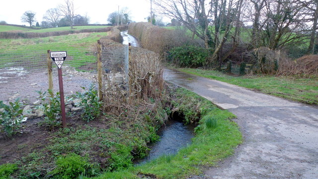
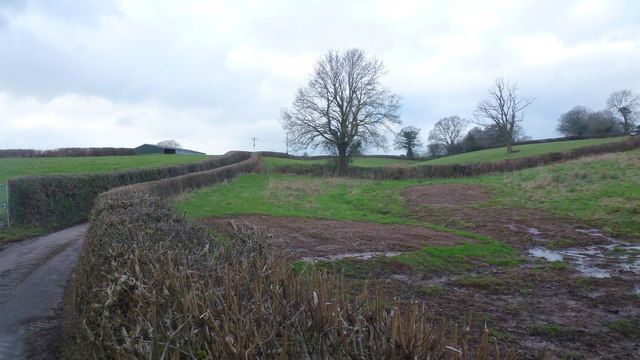
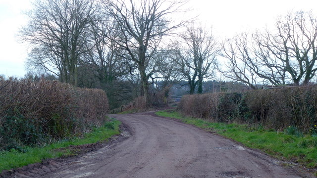
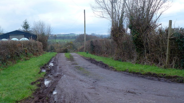
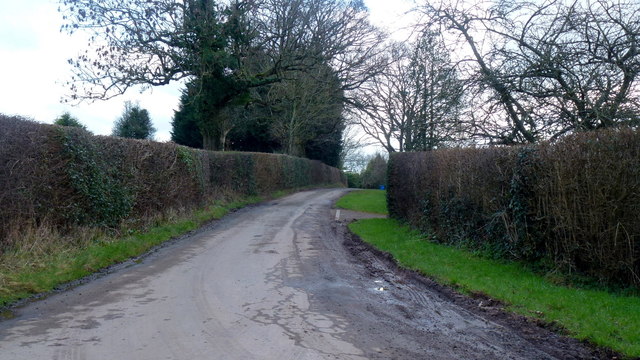
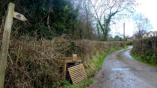
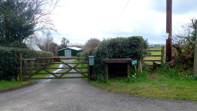
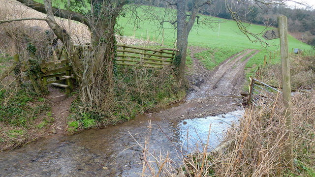
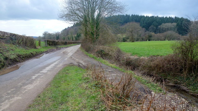
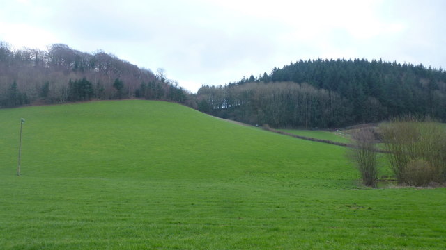
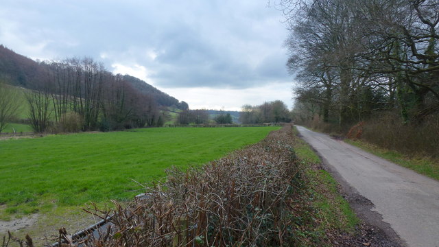
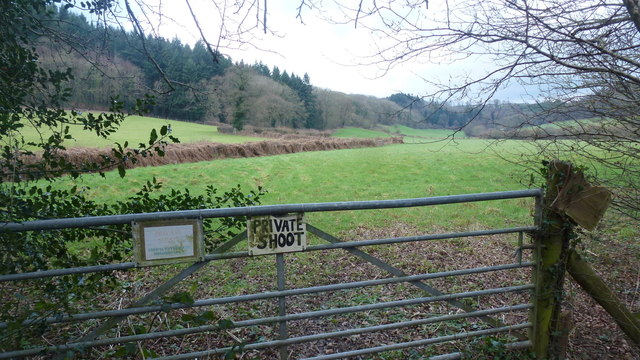
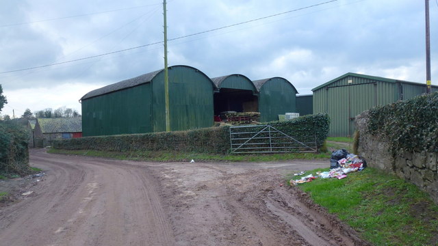
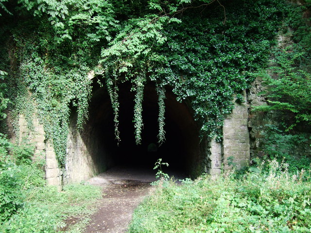
Upper Llancayo Wood Images

Images are sourced within 2km of 51.722491/-2.9076682 or Grid Reference SO3703. Thanks to Geograph Open Source API. All images are credited.

Raglan Road Looking north towards Raglan (the original A449) at the entrance to Park House.
Footpath sign to Coed Canol on the other side of the road.
Raglan Road
Looking north towards Raglan (the original A449) at the entrance to Park House. Footpath sign to Coed Canol on the other side of the road.
Trostrey Court and Farm Viewed from over 500m away from Church Lane.
This large farm sits in a gentle side valley of the Usk. Its main businesses are dairy and poultry.
The owner is (2015) President of the Royal Welsh Show; see an article on him here; <span class="nowrap"><a title="http://www.southwalesargus.co.uk/news/features/13611591.First_Person__Usk_farmer_David_Morgan/" rel="nofollow ugc noopener" href="http://www.southwalesargus.co.uk/news/features/13611591.First_Person__Usk_farmer_David_Morgan/">Link</a><img style="margin-left:2px;" alt="External link" title="External link - shift click to open in new window" src="https://s1.geograph.org.uk/img/external.png" width="10" height="10"/></span>
Trostrey Court and Farm
Viewed from over 500m away from Church Lane. This large farm sits in a gentle side valley of the Usk. Its main businesses are dairy and poultry. The owner is (2015) President of the Royal Welsh Show; see an article on him here; LinkExternal link
St. David's church, Trostrey A delightful spot on the hillside overlooking Trostrey Court, seen beyond.
Compare with Phil's photo from April 2008; <a href="https://www.geograph.org.uk/photo/764619">SO3504 : St David's church at Trostrey</a>.
St. David's church, Trostrey
A delightful spot on the hillside overlooking Trostrey Court, seen beyond. Compare with Phil's photo from April 2008; SO3504 : St David's church at Trostrey.
Car park, Coleg Gwent Usk campus, 1 One of six campuses across the county; Usk is the most rural. See; <span class="nowrap"><a title="http://www.coleggwent.ac.uk/index.php?option=com_content&view=article&id=252#.V3QHPbgrLIU" rel="nofollow ugc noopener" href="http://www.coleggwent.ac.uk/index.php?option=com_content&view=article&id=252#.V3QHPbgrLIU">Link</a><img style="margin-left:2px;" alt="External link" title="External link - shift click to open in new window" src="https://s1.geograph.org.uk/img/external.png" width="10" height="10"/></span>
Car park, Coleg Gwent Usk campus, 1
One of six campuses across the county; Usk is the most rural. See; LinkExternal link
Car park, Coleg Gwent Usk campus, 2 One of six campuses across the county; Usk is the most rural. See; <span class="nowrap"><a title="http://www.coleggwent.ac.uk/index.php?option=com_content&view=article&id=252#.V3QHPbgrLIU" rel="nofollow ugc noopener" href="http://www.coleggwent.ac.uk/index.php?option=com_content&view=article&id=252#.V3QHPbgrLIU">Link</a><img style="margin-left:2px;" alt="External link" title="External link - shift click to open in new window" src="https://s1.geograph.org.uk/img/external.png" width="10" height="10"/></span>
Car park, Coleg Gwent Usk campus, 2
One of six campuses across the county; Usk is the most rural. See; LinkExternal link
Track and bridleway Towards The Poplars Farm, crossing the Cayo Brook in the foreground.
Track and bridleway
Towards The Poplars Farm, crossing the Cayo Brook in the foreground.
Wet fields by the lane to Gwehelog Common Looking north-west.
Wet fields by the lane to Gwehelog Common
Looking north-west.
Private drive to Pentwyn Not a public right of way.
Private drive to Pentwyn
Not a public right of way.
Track to Chapel Farm Also a bridleway leading north-west from Gwehelog Common.
Track to Chapel Farm
Also a bridleway leading north-west from Gwehelog Common.
Gwehelog Common Road heading south-east with scattered housing.
Gwehelog Common
Road heading south-east with scattered housing.
Track and bridleway Towards Walnut Tree House, Trostrey Common.
Track and bridleway
Towards Walnut Tree House, Trostrey Common.
Gate and stile Plus a reminder for dog owners to keep their animals on a lead.
Gate and stile
Plus a reminder for dog owners to keep their animals on a lead.
A footpath for wet feet To get to the stile the walker must do a long jump or get wet!
A footpath for wet feet
To get to the stile the walker must do a long jump or get wet!
Lane to Llancayo The wooded hill with Coed Shenkin Morris dark in the background.
Lane to Llancayo
The wooded hill with Coed Shenkin Morris dark in the background.
Great Llancayo Upper Wood Gwehelog Camp hill fort is to the left.
Great Llancayo Upper Wood
Gwehelog Camp hill fort is to the left.
The Llancayo valley Short valley between the Gwehelog Camp and Shenkin Morris hills to the north of Usk.
The Llancayo valley
Short valley between the Gwehelog Camp and Shenkin Morris hills to the north of Usk.
Public path - private shoot Path heads north into the wooded high ground of Trostrey Hill.
Public path - private shoot
Path heads north into the wooded high ground of Trostrey Hill.
Upper Llancayo Farm Large farm with many buildings on both sides of the lane.
Upper Llancayo Farm
Large farm with many buildings on both sides of the lane.
Show me another place!

Upper Llancayo Wood is located at Grid Ref: SO3703 (Lat: 51.722491, Lng: -2.9076682)

Unitary Authority: Monmouthshire

Police Authority: Gwent

What 3 Words

///flitting.economies.cookers. Near Usk, Monmouthshire

Related Wikis

Llancayo

Llancayo is a village in Monmouthshire, south east Wales, United Kingdom. It is located two miles north of Usk on the B4598 road to Abergavenny, in the...

Berthin Brook

The Berthin Brook is a minor right bank tributary of the River Usk in Monmouthshire, in south Wales. Flowing north from New Inn initially, it turns east...

Trostrey Court

Trostrey Court House, Trostrey, Monmouthshire is a late 16th century gentry house. The current building replaced an earlier medieval court. The house played...

Usk railway station (Great Western Railway)

Usk (GWR) railway station is a disused railway station in the town of Usk, Monmouthshire, Wales. The station is now barely recognisable with the remains...

Nearby Amenities

Located within 500m of 51.722491,-2.9076682
Llancayo Hill
Ele: 137
Natural: peak
Source: NPE
Lat/Long: 51.7218328/-2.9050017
Fixme: continue
Lat/Long: 51.7253125/-2.903662
The data included in this document is from www.openstreetmap.org. The data is made available under ODbL.

Have you been to Upper Llancayo Wood?

Leave your review of Upper Llancayo Wood below (or comments, questions and feedback).