Caldecote
Settlement in Huntingdonshire Huntingdonshire
England
Caldecote

Caldecote is a small village located in the district of Huntingdonshire, within the county of Cambridgeshire, England. Situated approximately 7 miles northwest of the town of Huntingdon, Caldecote is surrounded by picturesque countryside and is known for its tranquil and rural setting.
The village itself is relatively small, with a population of around 200 residents. It is characterized by a charming mix of traditional and modern architecture. Caldecote is home to a range of houses, from historic thatched cottages to more contemporary dwellings.
Despite its small size, Caldecote boasts a strong sense of community. The village is served by a community center, which hosts various events and activities throughout the year, fostering a close-knit atmosphere among the residents. Additionally, there is a local pub, The Chequers, where villagers and visitors can enjoy a drink and a meal.
The surrounding area offers numerous opportunities for outdoor activities, such as walking, cycling, and horse riding. The village is situated near the Great Ouse River and benefits from a network of footpaths that allow residents to explore the beautiful countryside.
While Caldecote may not have its own school or shops, it is conveniently located near the town of St Ives, where residents can access a range of amenities including schools, supermarkets, and leisure facilities. The village also benefits from good road connections, with the A14 and A1 nearby, providing easy access to larger towns and cities in the region.
Overall, Caldecote offers a peaceful and idyllic lifestyle for those seeking a rural retreat while still being within close proximity to amenities and transport links.
If you have any feedback on the listing, please let us know in the comments section below.
Caldecote Images
Images are sourced within 2km of 52.480674/-0.31655038 or Grid Reference TL1488. Thanks to Geograph Open Source API. All images are credited.


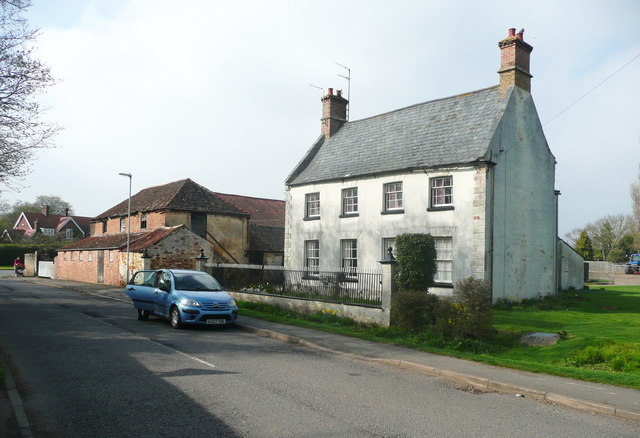


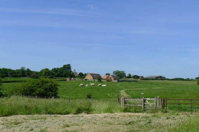
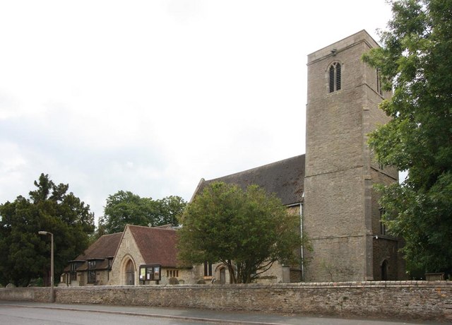
![Entering Caldecote Caldecote: &quot;a place name found in various counties, meaning ‘cold cottage(s)’, with reference to poor construction, exposed situation, or clay soil ...&quot; [A Dictionary of British Place Names]. I don&#039;t know why clay soil would make somewhere cold, but this area&#039;s geology is dominated by the Oxford Clay mudstones.](https://s1.geograph.org.uk/geophotos/06/87/80/6878013_92fc889a.jpg)
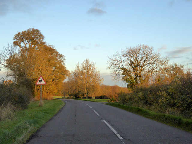
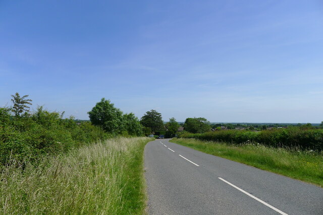
![Partially mown verge, Caldecote Road It is estimated that roadside verges account for about 1,000 square miles of land in the UK, and that less frequent mowing would bring a range of environmental benefits [The Guardian, 26 May 2021]. The section on the left has been mown to improve visibility from the junction of Washingley Road just behind the camera.](https://s3.geograph.org.uk/geophotos/06/87/80/6878023_684eb6db.jpg)
Caldecote is located at Grid Ref: TL1488 (Lat: 52.480674, Lng: -0.31655038)
Administrative County: Cambridgeshire
District: Huntingdonshire
Police Authority: Cambridgeshire
What 3 Words
///vowed.list.empires. Near Stilton, Cambridgeshire
Nearby Locations
Related Wikis

Caldecote, Huntingdonshire
Caldecote is a village and former civil parish, now in the parish of Denton and Caldecote, in Cambridgeshire, England. Caldecote lies approximately 7 miles...
Denton and Caldecote
Denton and Caldecote – in Huntingdonshire (now part of Cambridgeshire), England – is a civil parish near Glatton south west of Yaxley. The parish was formed...
Denton, Cambridgeshire
Denton is a hamlet and former civil parish, now in the parish of Denton and Caldecote, in Cambridgeshire, England. Denton lies approximately 11 miles...
Folksworth
Folksworth is a village and former civil parish, now in the parish of Folksworth and Washingley, in Cambridgeshire, England. Folksworth lies approximately...

Washingley
Washingley is a hamlet and former civil parish, now in the parish of Folksworth and Washingley, in Cambridgeshire, England. Washingley lies approximately...

Folksworth and Washingley
Folksworth and Washingley is a civil parish near Peterborough in Cambridgeshire, England, comprising the villages of Folksworth and Washingley.The parish...

Stilton
Stilton is a village and civil parish in Cambridgeshire, England, about 12 miles (19 km) north of Huntingdon in Huntingdonshire, which is a non-metropolitan...
Morborne
Morborne is a village and civil parish in Cambridgeshire, England. Morborne lies approximately 5 miles (8 km) south-west of Peterborough, near Yaxley....
Nearby Amenities
Located within 500m of 52.480674,-0.31655038Have you been to Caldecote?
Leave your review of Caldecote below (or comments, questions and feedback).