Coed Adam

Wood, Forest in Monmouthshire

Wales

Coed Adam

Priory Wood Nature Reserve, Monmouthshire Gwent Wildlife Trust information board with path, cleared that day, going to the left uphill. The tools are being used by a Trust working party on a rainy autumnal day.
Priory Wood Nature Reserve, Monmouthshire Credit: M J Roscoe

The requested URL returned error: 429 Too Many Requests

If you have any feedback on the listing, please let us know in the comments section below.
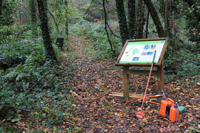
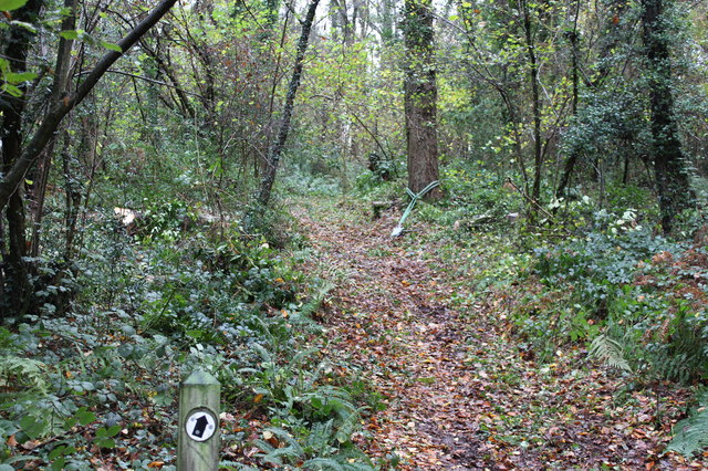
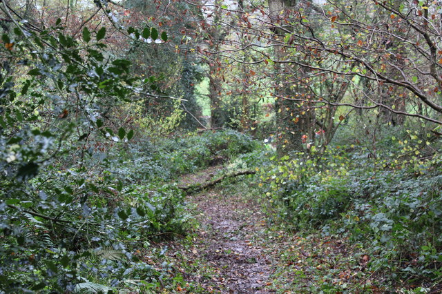
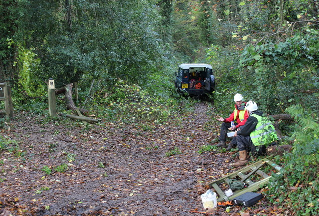
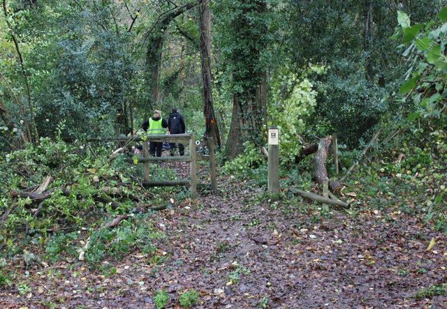
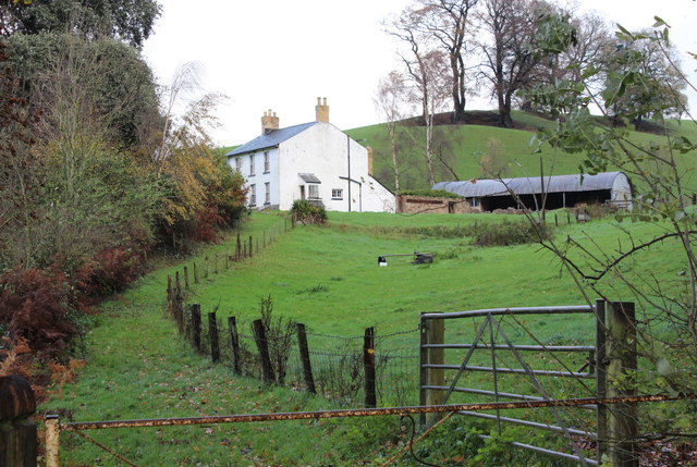
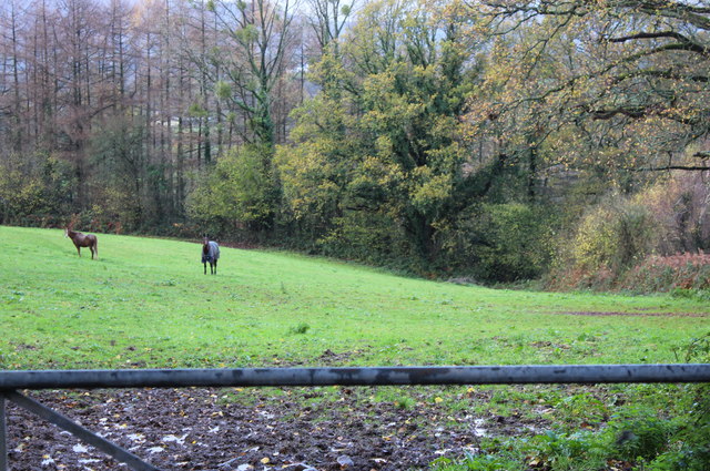
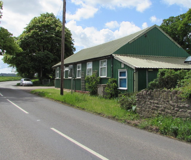
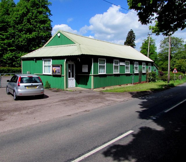
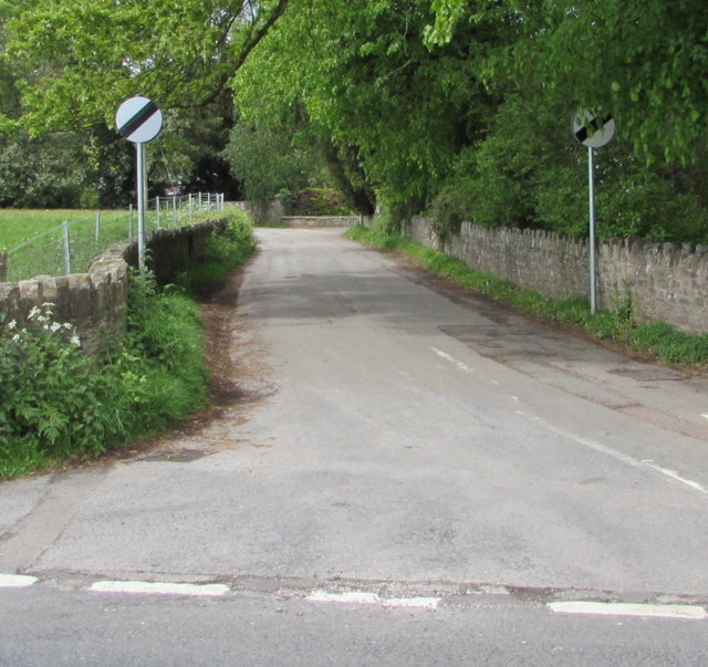
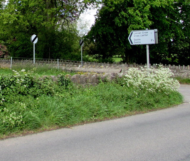
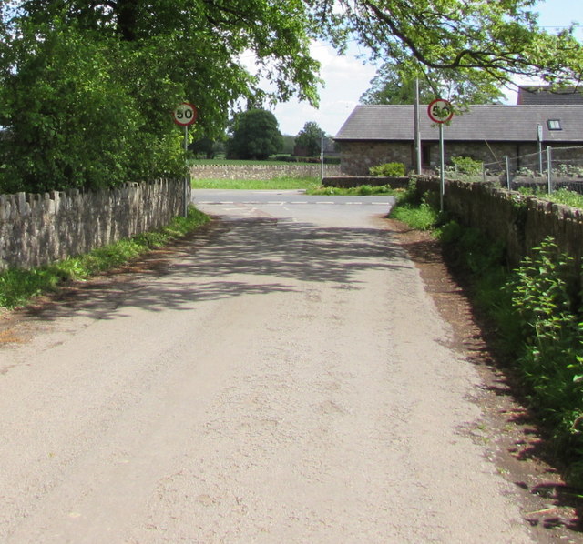
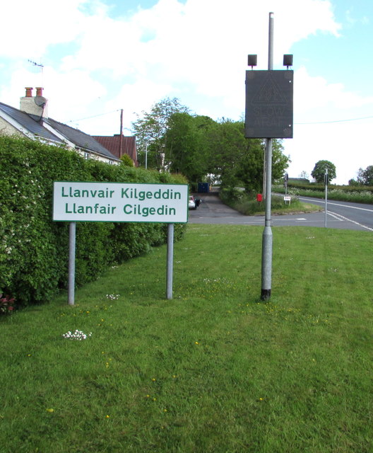
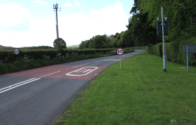
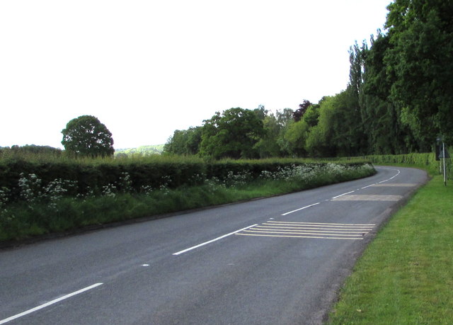
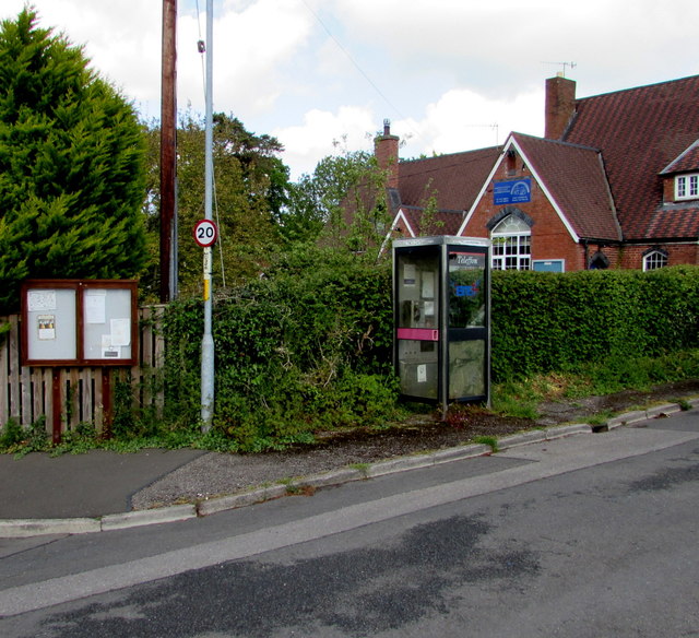
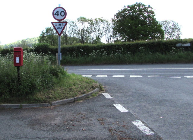
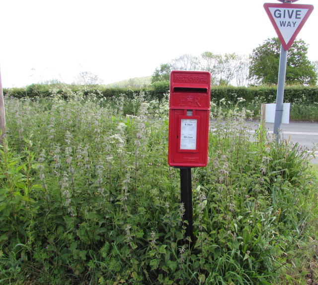
Coed Adam Images

Images are sourced within 2km of 51.760682/-2.9231987 or Grid Reference SO3607. Thanks to Geograph Open Source API. All images are credited.

Priory Wood Nature Reserve, Monmouthshire Gwent Wildlife Trust information board with path, cleared that day, going to the left uphill. The tools are being used by a Trust working party on a rainy autumnal day.
Priory Wood Nature Reserve, Monmouthshire
Gwent Wildlife Trust information board with path, cleared that day, going to the left uphill. The tools are being used by a Trust working party on a rainy autumnal day.
Priory Wood Nature Reserve, Monmouthshire Track uphill viewed from near the GWT information board  in <a href="https://www.geograph.org.uk/photo/4743344">SO3505 : Priory Wood Nature Reserve, Monmouthshire</a>. The rope strop round the base of the tree was to assist in felling an unsafe tree.
Priory Wood Nature Reserve, Monmouthshire
Track uphill viewed from near the GWT information board in SO3505 : Priory Wood Nature Reserve, Monmouthshire. The rope strop round the base of the tree was to assist in felling an unsafe tree.
Priory Wood Nature Reserve, Monmouthshire Looking down track from near information board in <a href="https://www.geograph.org.uk/photo/4743344">SO3505 : Priory Wood Nature Reserve, Monmouthshire</a>. The branch lying across the track is the result of removing unsafe tree branches by a Gwent Wildlife Trust working party.
Priory Wood Nature Reserve, Monmouthshire
Looking down track from near information board in SO3505 : Priory Wood Nature Reserve, Monmouthshire. The branch lying across the track is the result of removing unsafe tree branches by a Gwent Wildlife Trust working party.
Entrance, Priory Wood Nature Reserve Two volunteer members of a Gwent Wildlife Trust working party having a lunch break during a break in the rain. The small gate on the ground had been removed to prevent its being damaged during lopping of unsafe branches; note that, to the left, a branch has broken the fence.
Entrance, Priory Wood Nature Reserve
Two volunteer members of a Gwent Wildlife Trust working party having a lunch break during a break in the rain. The small gate on the ground had been removed to prevent its being damaged during lopping of unsafe branches; note that, to the left, a branch has broken the fence.
Pedestrian entrance, Priory Wood Nature Reserve The gate had been removed to prevent its being damaged during tree surgery by Gwent Wildlife Trust. The fence to the right of the gate post has been damaged by a falling branch. The tree (centre) marked with a red spot was felled later that afternoon.
Pedestrian entrance, Priory Wood Nature Reserve
The gate had been removed to prevent its being damaged during tree surgery by Gwent Wildlife Trust. The fence to the right of the gate post has been damaged by a falling branch. The tree (centre) marked with a red spot was felled later that afternoon.
Thornberry Cottage near Priory Wood A cottage, across the minor road from Priory Wood NR.
Thornberry Cottage near Priory Wood
A cottage, across the minor road from Priory Wood NR.
Paddock above River Usk Horses in field alongside minor road from Chain Bridge.
Paddock above River Usk
Horses in field alongside minor road from Chain Bridge.
Llanfair Kilgeddin Village Hall Corrugated metal building on the west side of the B4598 in rural Monmouthshire between Usk and Abergavenny.
<a title="https://www.geograph.org.uk/photo/5390430" href="https://www.geograph.org.uk/photo/5390430">Link</a> to another view of the hall.
Llanfair Kilgeddin Village Hall
Corrugated metal building on the west side of the B4598 in rural Monmouthshire between Usk and Abergavenny. Link to another view of the hall.
Llanfair Kilgeddin Village Hall Corrugated metal building on the west side of the B4598 in rural Monmouthshire between Usk and Abergavenny.
<a title="https://www.geograph.org.uk/photo/5390425" href="https://www.geograph.org.uk/photo/5390425">Link</a> to another view of the hall.
Llanfair Kilgeddin Village Hall
Corrugated metal building on the west side of the B4598 in rural Monmouthshire between Usk and Abergavenny. Link to another view of the hall.
Minor road west from Llanfair Kilgeddin, Monmouthshire Viewed across the B4598. A nearby sign <a title="https://www.geograph.org.uk/photo/5390440" href="https://www.geograph.org.uk/photo/5390440">Link</a> pointing this way shows Llanvair Cross 1 (mile), Goytre 2½.
The 50mph speed limit increases to the National Speed Limit ahead.
Minor road west from Llanfair Kilgeddin, Monmouthshire
Viewed across the B4598. A nearby sign Link pointing this way shows Llanvair Cross 1 (mile), Goytre 2½. The 50mph speed limit increases to the National Speed Limit ahead.
Direction and distances sign, Llanfair Kilgeddin, Monmouthshire Facing northbound traffic on the B4598 on the corner of this <a title="https://www.geograph.org.uk/photo/5390433" href="https://www.geograph.org.uk/photo/5390433">Link</a> minor road junction.
Direction and distances sign, Llanfair Kilgeddin, Monmouthshire
Facing northbound traffic on the B4598 on the corner of this Link minor road junction.
End of the National Speed Limit, Llanfair Kilgeddin, Monmouthshire The National Speed Limit on the minor road from Llanvair Cross
and Goytre drops to 50mph on the approach to the B4598 junction.
End of the National Speed Limit, Llanfair Kilgeddin, Monmouthshire
The National Speed Limit on the minor road from Llanvair Cross and Goytre drops to 50mph on the approach to the B4598 junction.
Southern boundary of Llanvair Kilgeddin, Monmouthshire The boundary sign is alongside the B4598 at the southern edge of Llanvair Kilgeddin, a small village between Usk and Abergavenny. The village is also Llanfair Kilgeddin in English and Llanfair Cilgedin in Welsh.
Southern boundary of Llanvair Kilgeddin, Monmouthshire
The boundary sign is alongside the B4598 at the southern edge of Llanvair Kilgeddin, a small village between Usk and Abergavenny. The village is also Llanfair Kilgeddin in English and Llanfair Cilgedin in Welsh.
From 40 to 50 beyond Llanfair Kilgeddin, Monmouthshire The 40mph speed limit on the B4598 increases to 50mph beyond the southern edge of  Llanfair Kilgeddin. 
Part of the grey back of the village boundary sign <a title="https://www.geograph.org.uk/photo/5391758" href="https://www.geograph.org.uk/photo/5391758">Link</a> is on the right.
From 40 to 50 beyond Llanfair Kilgeddin, Monmouthshire
The 40mph speed limit on the B4598 increases to 50mph beyond the southern edge of Llanfair Kilgeddin. Part of the grey back of the village boundary sign Link is on the right.
B4598 from Llanfair Kilgeddin towards Kemeys Commander, Monmouthshire The lines on the right side of the road are on the approach to a drop in
the speed limit at the southern edge of Llanfair Kilgeddin in rural Monmouthshire.
B4598 from Llanfair Kilgeddin towards Kemeys Commander, Monmouthshire
The lines on the right side of the road are on the approach to a drop in the speed limit at the southern edge of Llanfair Kilgeddin in rural Monmouthshire.
Village phonebox, Llanfair Kilgeddin, Monmouthshire  The BT public pay phonebox is near the village primary school. A public noticeboard is on the left.
Village phonebox, Llanfair Kilgeddin, Monmouthshire
The BT public pay phonebox is near the village primary school. A public noticeboard is on the left.
From 20 to 40 in Llanfair Kilgeddin, Monmouthshire  The 20mph speed limit near the village primary school increases to 40mph on the B4598 ahead.
Direction signs alongside the hedge on the right show left for Abergavenny, right for Usk.
From 20 to 40 in Llanfair Kilgeddin, Monmouthshire
The 20mph speed limit near the village primary school increases to 40mph on the B4598 ahead. Direction signs alongside the hedge on the right show left for Abergavenny, right for Usk.
Queen Elizabeth II postbox surrounded by nettles,  Llanfair Kilgeddin, Monmouthshire Located here. <a title="https://www.geograph.org.uk/photo/5391824" href="https://www.geograph.org.uk/photo/5391824">Link</a>
Queen Elizabeth II postbox surrounded by nettles, Llanfair Kilgeddin, Monmouthshire
Located here. Link
Show me another place!

Coed Adam is located at Grid Ref: SO3607 (Lat: 51.760682, Lng: -2.9231987)

Unitary Authority: Monmouthshire

Police Authority: Gwent

What 3 Words

///teardrop.anchovies.browser. Near Llanarth, Monmouthshire

Nearby Locations

Coed Adam

Related Wikis

Great House, Llanarth

Great House, Llanarth, Monmouthshire is a farmhouse dating from the late-16th century. Extended in the mid-17th century and little altered thereafter,...

Clytha Castle

Clytha Castle (Welsh: Castell Cleidda) is a folly near Clytha between Llanarth and Raglan in Monmouthshire, south east Wales. Dating from 1790, the castle...

Bettws Newydd

Bettws Newydd (Welsh: Betws Newydd) is a small village in Monmouthshire, in southeast Wales located about 3+1⁄2 miles (5.6 km) north of Usk, a few miles...

Church of St Aeddan, Bettws Newydd

The Church of St Aeddan, Bettws Newydd, Monmouthshire, Wales, is a fifteenth-century church of twelfth-century origin. It contains a notable rood screen...

Nearby Amenities

Located within 500m of 51.760682,-2.9231987
The data included in this document is from www.openstreetmap.org. The data is made available under ODbL.

Have you been to Coed Adam?

Leave your review of Coed Adam below (or comments, questions and feedback).