Cae Cnap
Wood, Forest in Monmouthshire
Wales
Cae Cnap
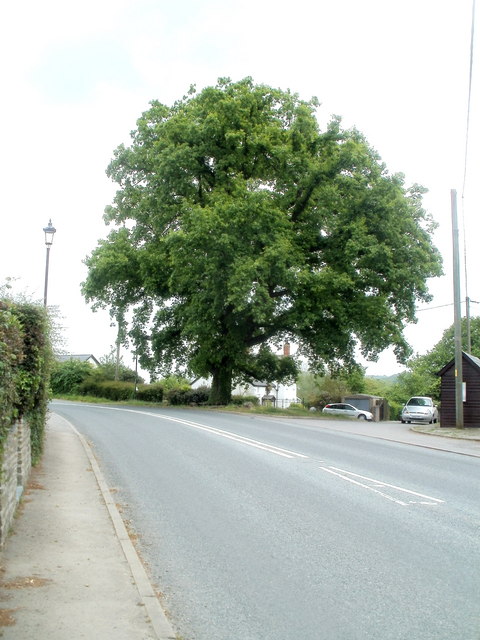
Cae Cnap, located in Monmouthshire, Wales, is a fascinating woodland area that boasts a rich history and abundant natural beauty. This ancient forest, also known as Wood of the Round Barrow, is situated near the village of Caerwent and covers an area of approximately 150 acres.
Cae Cnap is renowned for its diverse range of plant and animal species, making it a haven for nature enthusiasts and wildlife lovers alike. The woodland is predominantly composed of mixed deciduous trees, including oak, ash, and beech, which provide a stunning display of colors during the autumn months. The forest floor is adorned with an array of wildflowers, such as bluebells and primroses, creating a picturesque scene.
One of the main attractions within Cae Cnap is a prehistoric round barrow, after which the woodland is named. This ancient burial mound is estimated to date back to the Bronze Age, around 4,000 years ago. It stands as a testament to the area's rich historical heritage and serves as a captivating reminder of the people who once inhabited the land.
Visitors to Cae Cnap can enjoy a variety of activities, including walking, birdwatching, and photography. Numerous pathways and trails wind through the woodland, providing opportunities to explore its hidden corners and discover its hidden treasures. The forest also offers a peaceful retreat for those seeking solace and relaxation in the midst of nature's beauty.
Overall, Cae Cnap is a remarkable woodland area that combines historical significance with natural splendor. Its ancient round barrow, diverse wildlife, and stunning scenery make it a must-visit destination for anyone seeking a unique and enriching experience in Monmouthshire.
If you have any feedback on the listing, please let us know in the comments section below.
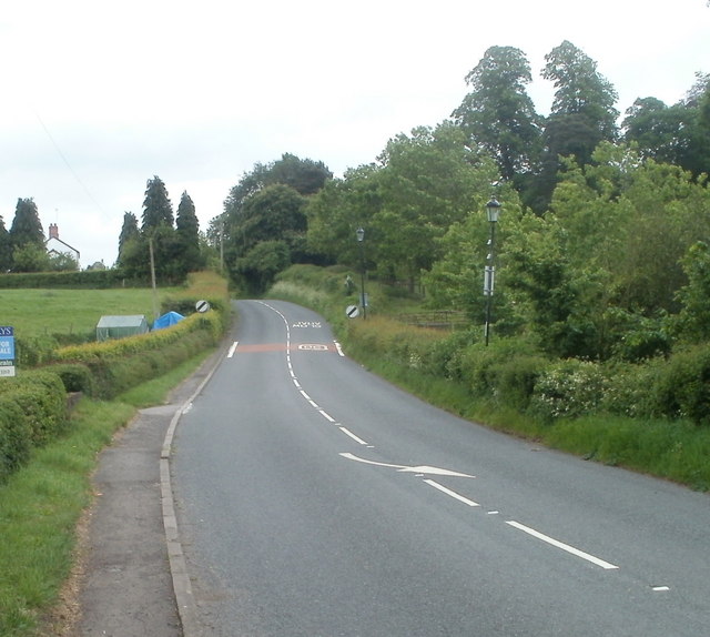
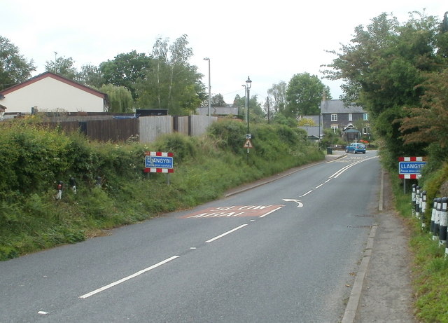
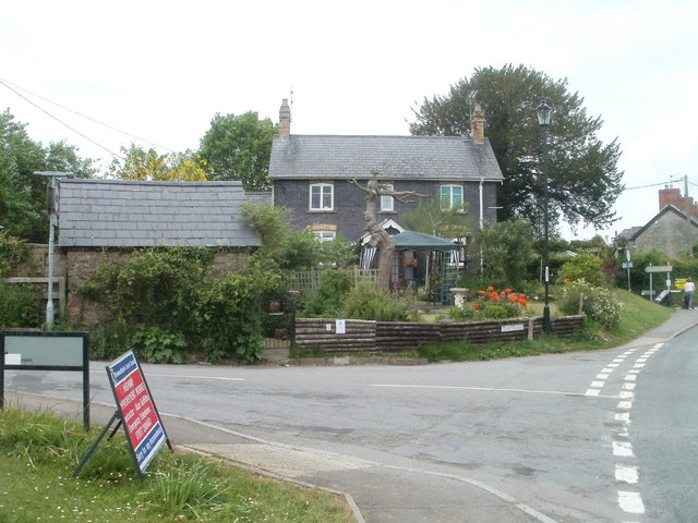
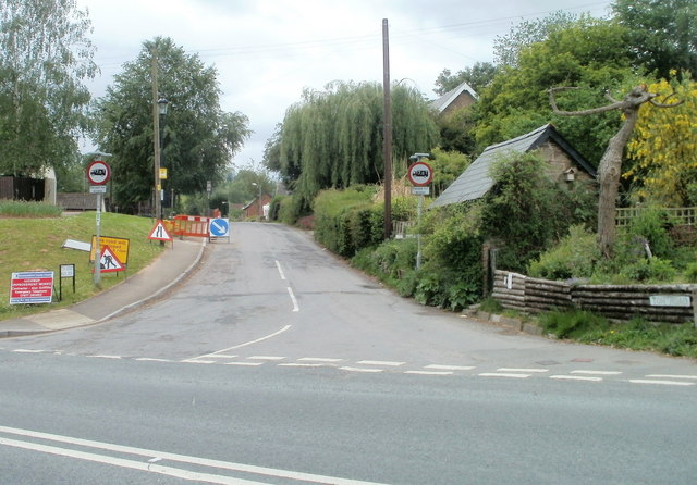
Cae Cnap Images
Images are sourced within 2km of 51.675575/-2.9224935 or Grid Reference ST3697. Thanks to Geograph Open Source API. All images are credited.


Cae Cnap is located at Grid Ref: ST3697 (Lat: 51.675575, Lng: -2.9224935)
Unitary Authority: Monmouthshire
Police Authority: Gwent
What 3 Words
///adjust.sculpting.user. Near Llangybi, Monmouthshire
Nearby Locations
Related Wikis

Tregrug Castle
Tregrug Castle (Welsh: Castell Tregrug; Welsh pronunciation: [ˈkastɛɬ trɛˈɡriːɡ]) or Llangibby Castle is a ruin in Monmouthshire, Wales, located about...

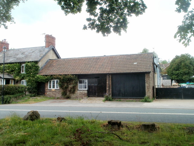
New House Farm, Llangybi
New House Farm, Llangybi, Monmouthshire is a substantial farmhouse dating from c.1700. It has been little altered since the date of its construction. It...

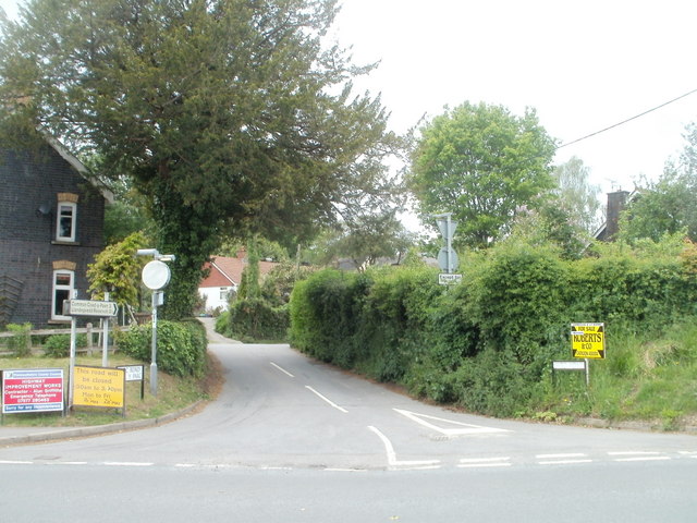
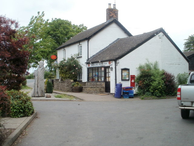
Llangybi, Monmouthshire
Llangybi (also spelled Llangibby) is a village and community in Monmouthshire, in southeast Wales, in the United Kingdom. It is located 3 miles (4.8 km...

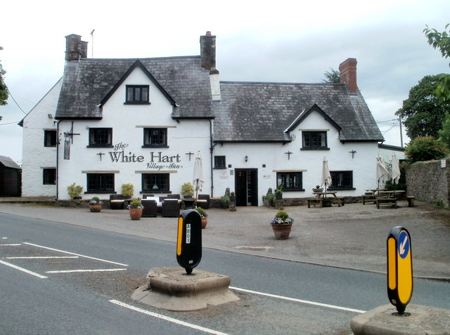
White Hart Inn, Llangybi
The White Hart Inn, Llangybi, Monmouthshire is a public house dating from the early 17th century. Located at a crossroads in the centre of the village...
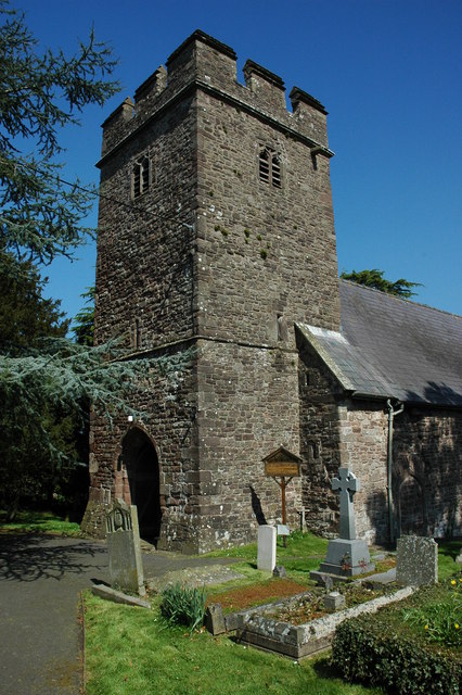
St Cybi's Church, Llangybi, Monmouthshire
The Church of St Cybi, Llangybi, Monmouthshire is a parish church with its origins in the 13th or 14th century. Refurbished in the 15th century, the church...

Usk Inlier
The Usk Inlier is a domed outcrop of rock strata of Silurian age in Monmouthshire in south-eastern Wales. It is located in the countryside between the...
HM Prison Prescoed
HM Prison Prescoed (Welsh: Carchar Prescoed EF) is a Category D men's open prison, located in Coed-y-paen, three miles from Usk in Monmouthshire, Wales...

Ton Farmhouse, Llangybi
Ton Farmhouse, Llangybi, Monmouthshire is a farmhouse dating from the early 17th century. John Newman, in his Monmouthshire Pevsner, describes it as a...
Have you been to Cae Cnap?
Leave your review of Cae Cnap below (or comments, questions and feedback).