Cefn-draenog Wood

Wood, Forest in Monmouthshire

Wales

Cefn-draenog Wood

House at the junction of the lane to Cefn Ila Farm
House at the junction of the lane to Cefn Ila Farm Credit: Ruth Sharville

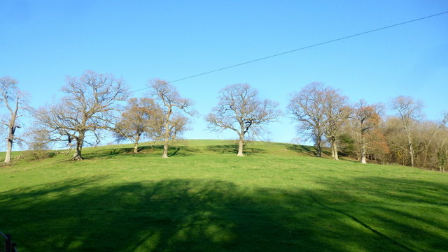
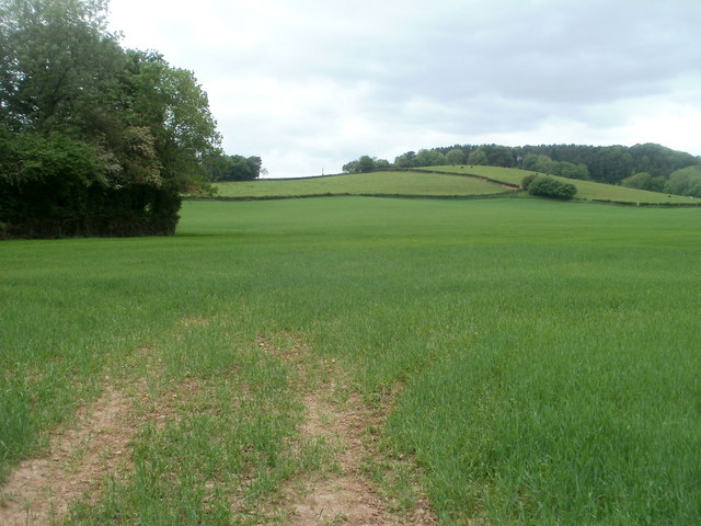
Cefn-draenog Wood is a natural gem located in Monmouthshire, Wales. This enchanting woodland covers an area of approximately 20 hectares and is nestled within the stunning Wye Valley Area of Outstanding Natural Beauty. The wood is situated on the eastern slopes of Cefn-draenog Hill, providing visitors with breathtaking views of the surrounding countryside.

The woodland is predominantly composed of broadleaf trees, including oak, beech, and ash, which create a rich and diverse ecosystem. The forest floor is carpeted with vibrant wildflowers, ferns, and mosses, adding to the overall beauty of the area.

Cefn-draenog Wood is home to a variety of wildlife, making it a haven for nature enthusiasts. Visitors may spot red kites soaring overhead, along with other bird species such as woodpeckers and owls. The forest also provides a habitat for mammals like foxes, badgers, and rabbits. In spring, the woodland comes alive with the melodic songs of numerous bird species and the buzzing of insects.

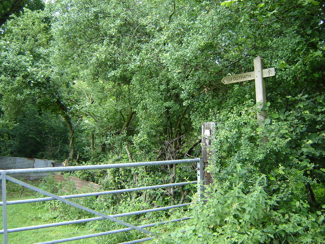
The wood offers a network of well-maintained footpaths, allowing visitors to explore the area at their own pace. There are also picnic areas and benches scattered throughout, providing opportunities for relaxation and taking in the tranquil surroundings.

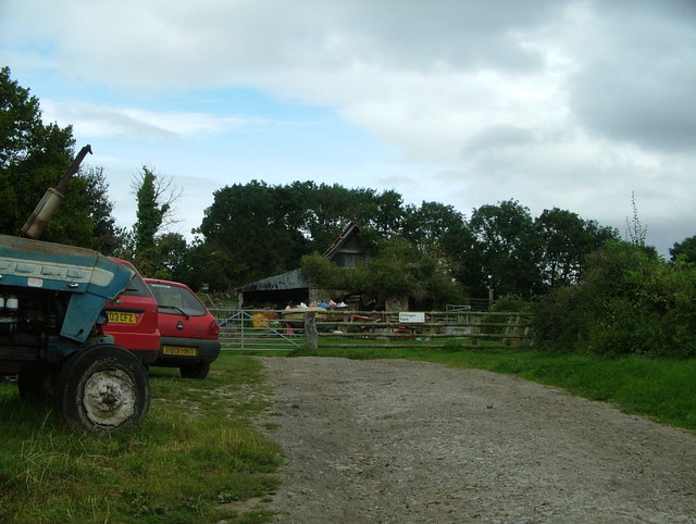
Cefn-draenog Wood is a popular destination for walkers, photographers, and those seeking a peaceful retreat in nature. Its proximity to the bustling town of Monmouth makes it easily accessible for both locals and tourists, offering an escape from the busyness of everyday life.

If you have any feedback on the listing, please let us know in the comments section below.

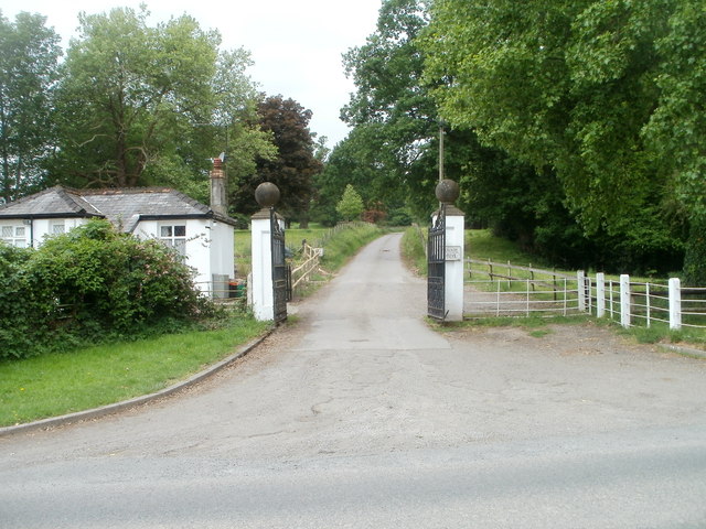
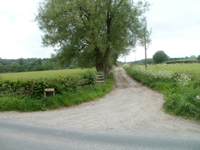
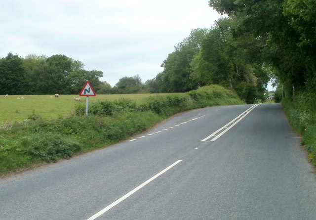
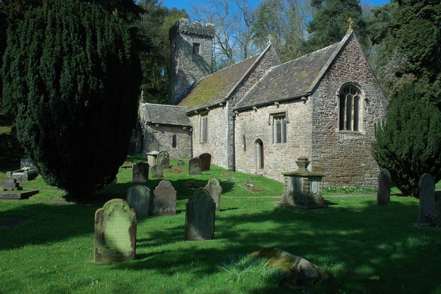
Cefn-draenog Wood Images

Images are sourced within 2km of 51.681707/-2.9259594 or Grid Reference ST3698. Thanks to Geograph Open Source API. All images are credited.

House at the junction of the lane to Cefn Ila Farm
Footpath, near Cefn Ila Farm I didn't have a chance to find out the purpose of the corrugated metal - I hope it was not to deter ramblers...
Footpath, near Cefn Ila Farm
I didn't have a chance to find out the purpose of the corrugated metal - I hope it was not to deter ramblers...
Cilfeigan Farm This is Cilfeigan Farm, hard to find.
Cilfeigan Farm
This is Cilfeigan Farm, hard to find.
Line of oaks On a contour of the hillside above the track to Cefn Ila Farm.
Line of oaks
On a contour of the hillside above the track to Cefn Ila Farm.
Track to Cefn Ila A private drive.
Track to Cefn Ila
A private drive.
Coed Cefn Ila Newly-planted woodland with public access.
Coed Cefn Ila
Newly-planted woodland with public access.
Llanbadoc houses at Prescoed junction Viewed along the road from Llangybi to Usk. Ahead, three signs point to the left.
The top one (brown) shows Golf Course 2⅔
The middle one shows 
HMP/YOI (Her Majesty's Prison/ Young Offenders' Institution) Prescoed 2 
Coed-y-paen 3
Distances are in miles.
The bottom one shows Llandegveth Reservoir (no distance shown).
Llanbadoc houses at Prescoed junction
Viewed along the road from Llangybi to Usk. Ahead, three signs point to the left. The top one (brown) shows Golf Course 2⅔ The middle one shows HMP/YOI (Her Majesty's Prison/ Young Offenders' Institution) Prescoed 2 Coed-y-paen 3 Distances are in miles. The bottom one shows Llandegveth Reservoir (no distance shown).
Road to Prescoed from Llanbadoc The road to Prescoed and Coed-y-paen heads away from the Llangybi to Usk road, Llanbadoc.
Road to Prescoed from Llanbadoc
The road to Prescoed and Coed-y-paen heads away from the Llangybi to Usk road, Llanbadoc.
The Old Rectory, Llangibby A sizeable old Victorian rectory in a wonderful position overlooking the valley.
The Old Rectory, Llangibby
A sizeable old Victorian rectory in a wonderful position overlooking the valley.
End of 30mph speed limit ahead, north of Llangybi A few tens of metres north of the village boundary, <a title="https://www.geograph.org.uk/photo/2916244" href="https://www.geograph.org.uk/photo/2916244">Link</a> the speed limit on the road to Usk increases from 30mph to the National Speed Limit. The sign on the right informs drivers that speed cameras are in use.
End of 30mph speed limit ahead, north of Llangybi
A few tens of metres north of the village boundary, Link the speed limit on the road to Usk increases from 30mph to the National Speed Limit. The sign on the right informs drivers that speed cameras are in use.
Grade II listed Tregrug Barn near Llangybi Located alongside the road to Usk about 500 metres north of the centre of Llangybi. 
The renovated 17th century barn, with a distinctive roof, was Grade II listed in April 1952.
Grade II listed Tregrug Barn near Llangybi
Located alongside the road to Usk about 500 metres north of the centre of Llangybi. The renovated 17th century barn, with a distinctive roof, was Grade II listed in April 1952.
Field west of Tregrug Barn near Llangybi Viewed from the road from Llangybi to Usk. 
Grade II listed Tregrug Barn is nearby, on the opposite side of the road. <a title="https://www.geograph.org.uk/photo/2916312" href="https://www.geograph.org.uk/photo/2916312">Link</a>
Field west of Tregrug Barn near Llangybi
Viewed from the road from Llangybi to Usk. Grade II listed Tregrug Barn is nearby, on the opposite side of the road. Link
Grade II listed Tregrug Farmhouse north of Llangybi The farmhouse, on the east side of the road to Usk, is about 500 metres north of the centre of Llangybi. The age of the farmhouse is unknown to this contributor. The nearby Grade II listed barn <a title="https://www.geograph.org.uk/photo/2916312" href="https://www.geograph.org.uk/photo/2916312">Link</a> dates from the 17th century.
Grade II listed Tregrug Farmhouse north of Llangybi
The farmhouse, on the east side of the road to Usk, is about 500 metres north of the centre of Llangybi. The age of the farmhouse is unknown to this contributor. The nearby Grade II listed barn Link dates from the 17th century.
Buildings at the northern edge of Tregrug Farm near Llangybi Viewed across the road to Usk.
Buildings at the northern edge of Tregrug Farm near Llangybi
Viewed across the road to Usk.
Dominant tree north of Tregrug Farm near Llangybi One tree towers above its neighbours alongside the road to Usk.
Dominant tree north of Tregrug Farm near Llangybi
One tree towers above its neighbours alongside the road to Usk.
Lodge and entrance gates to Castle Farm, Llangybi Viewed from the road from Llangybi to Usk. Though a sign shows PRIVATE DRIVE, a footpath sign out of shot on the right points along the driveway.
Lodge and entrance gates to Castle Farm, Llangybi
Viewed from the road from Llangybi to Usk. Though a sign shows PRIVATE DRIVE, a footpath sign out of shot on the right points along the driveway.
Entrance to Trestevan Farm north of Llangybi Viewed across the road to Usk. The 400 metre long drive leads to Trestevan Farm.
Entrance to Trestevan Farm north of Llangybi
Viewed across the road to Usk. The 400 metre long drive leads to Trestevan Farm.
Layby on the west side of the road from Llangybi to Usk The layby is a few tens of metres north of the entrance road to Trestevan Farm. <a title="https://www.geograph.org.uk/photo/2916405" href="https://www.geograph.org.uk/photo/2916405">Link</a>
Layby on the west side of the road from Llangybi to Usk
The layby is a few tens of metres north of the entrance road to Trestevan Farm. Link
Show me another place!

Cefn-draenog Wood is located at Grid Ref: ST3698 (Lat: 51.681707, Lng: -2.9259594)

Unitary Authority: Monmouthshire

Police Authority: Gwent

What 3 Words

///beards.upon.riverbed. Near Llanbadoc, Monmouthshire

Related Wikis

Usk Inlier

The Usk Inlier is a domed outcrop of rock strata of Silurian age in Monmouthshire in south-eastern Wales. It is located in the countryside between the...

Tregrug Castle

Tregrug Castle (Welsh: Castell Tregrug; Welsh pronunciation: [ˈkastɛɬ trɛˈɡriːɡ]) or Llangibby Castle is a ruin in Monmouthshire, Wales, located about...

HM Prison Prescoed

HM Prison Prescoed (Welsh: Carchar Prescoed EF) is a Category D men's open prison, located in Coed-y-paen, three miles from Usk in Monmouthshire, Wales...

Cefn Ila

Cefn Ila (Welsh: Coed Cefn Ila) is an 83 acres (34 ha) woodland located in Llanbadoc, a mile away from Usk, Monmouthshire, Wales, owned and run by the...

New House Farm, Llangybi

New House Farm, Llangybi, Monmouthshire is a substantial farmhouse dating from c.1700. It has been little altered since the date of its construction. It...

Llangybi, Monmouthshire

Llangybi (also spelled Llangibby) is a village and community in Monmouthshire, in southeast Wales, in the United Kingdom. It is located 3 miles (4.8 km...

Llanbadoc

Llanbadoc (Welsh: Llanbadog Fawr) is a village and community in the county of Monmouthshire and the preserved county of Gwent in Wales. The population...

St Madoc's Church, Llanbadoc

The Church of St Madoc, Llanbadoc, Monmouthshire is a parish church with its origins in the 14th century. A Grade II* listed building, the church remains...

Related Videos

Cefn Illa walk with my DJI Mavic Air 2

Messing around with some footage from a walk not far from me. Using a Mavic Air 2 with a ND16 filter with a little tweak at editing ...

The intriguing woodlands of Cefn Ila

Cefn Ila is near Usk in South Wales, a former site of a maternity hospital the woods now boast an impressive orchard of apples ...

My wedding day - 18.12.22 | the day I become Mrs Jones | Mr & Mrs Jones

The best day of my life. Hello my lovely bee's! Thank you for taking the time to watch my videos, it means the absolute world to me!

Nearby Amenities

Located within 500m of 51.681707,-2.9259594
Tyn-Y-Caeau Hill
Ele: 155
Natural: peak
Lat/Long: 51.6832353/-2.9293535
The data included in this document is from www.openstreetmap.org. The data is made available under ODbL.

Have you been to Cefn-draenog Wood?

Leave your review of Cefn-draenog Wood below (or comments, questions and feedback).