Calcutt
Settlement in Yorkshire Harrogate
England
Calcutt
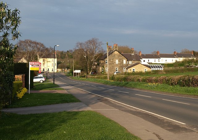
Calcutt is a small village located in the county of Yorkshire, in the northern part of England. Situated about 4 miles northwest of Knaresborough and 10 miles northeast of Harrogate, Calcutt boasts a picturesque setting surrounded by rolling countryside and scenic landscapes.
The village itself is home to a tight-knit community, with a population of around 500 residents. Calcutt exudes a charming and tranquil atmosphere, making it an ideal place for those seeking a peaceful retreat. The architecture in the village is predominantly traditional, with charming stone houses and well-maintained gardens.
Calcutt offers its residents a range of amenities and facilities. The village has a local primary school, providing education for the younger population. Additionally, there is a village hall that serves as a community hub, hosting various events and activities for the locals to enjoy.
One of the highlights of Calcutt is its proximity to the beautiful Nidd Gorge, which lies to the east of the village. This nature reserve is a haven for wildlife enthusiasts and offers scenic walking trails along the River Nidd. The surrounding countryside provides ample opportunities for outdoor activities such as hiking, cycling, and horseback riding.
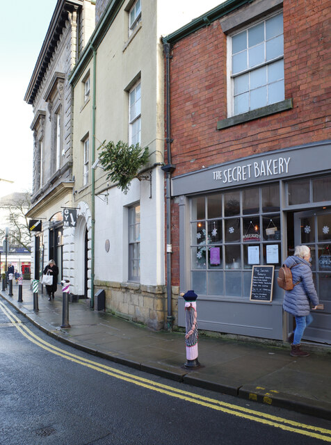
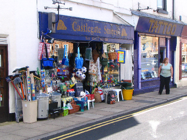
While Calcutt itself may be small, its convenient location allows residents to easily access the nearby towns and cities. The bustling town of Harrogate offers a wider range of amenities, including shops, restaurants, and cultural attractions.
In conclusion, Calcutt is a charming and idyllic village in Yorkshire, offering a peaceful and picturesque setting for its residents. With its close proximity to nature and easy access to nearby towns, it provides a perfect balance between rural tranquility and urban convenience.
If you have any feedback on the listing, please let us know in the comments section below.
Calcutt Images
Images are sourced within 2km of 53.998767/-1.468021 or Grid Reference SE3455. Thanks to Geograph Open Source API. All images are credited.


Calcutt is located at Grid Ref: SE3455 (Lat: 53.998767, Lng: -1.468021)
Division: West Riding
Administrative County: North Yorkshire
District: Harrogate
Police Authority: North Yorkshire
What 3 Words
///activism.taken.result. Near Knaresborough, North Yorkshire
Nearby Locations
Related Wikis
Calcutt, North Yorkshire
Calcutt is a village in the Harrogate district of North Yorkshire, England. == External links == Media related to Calcutt, North Yorkshire at Wikimedia...
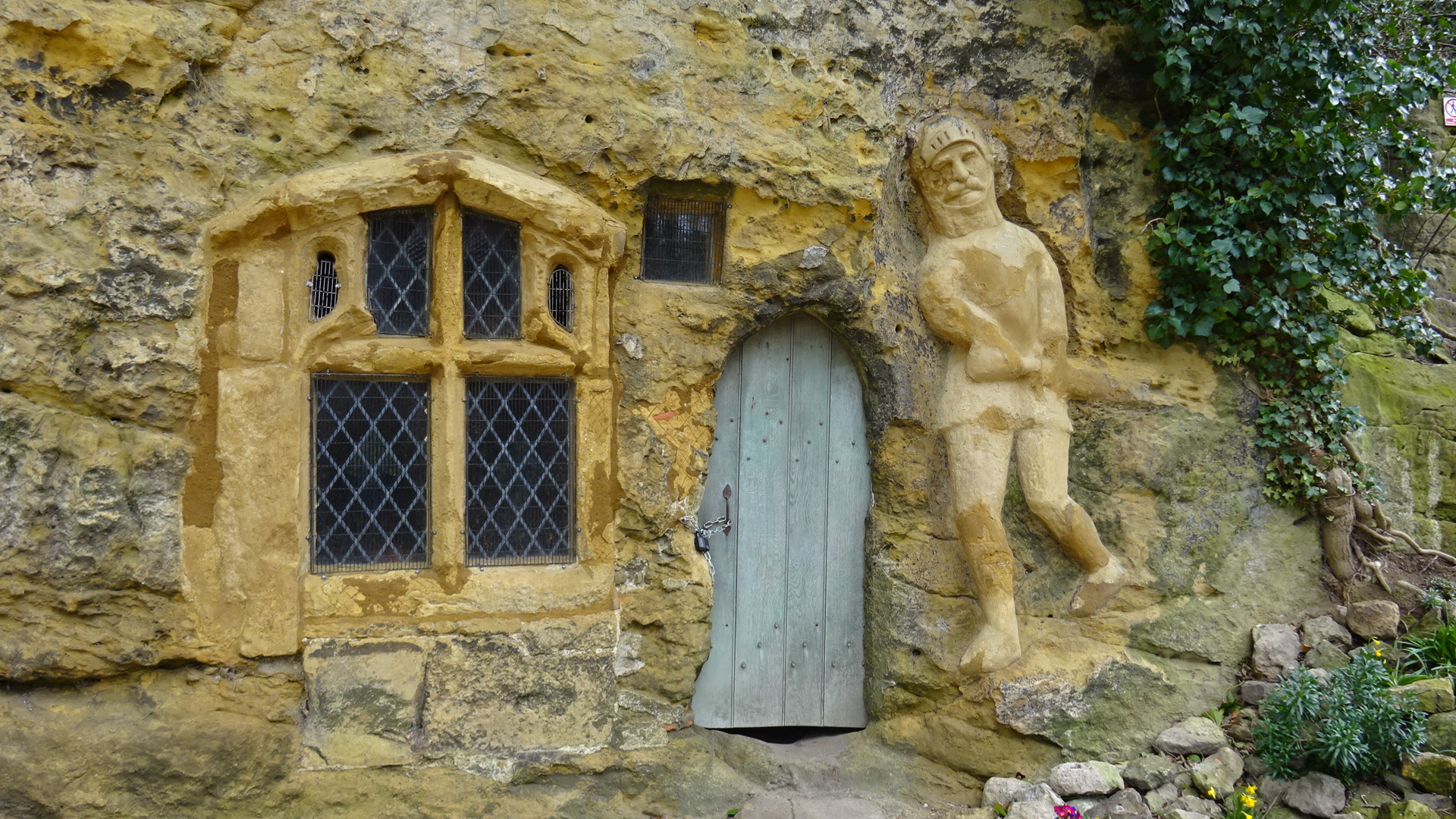
Chapel of Our Lady of the Crag
The early-fifteenth century Chapel of Our Lady of the Crag is located in an old quarry on Abbey Road beside the Nidd Gorge at Knaresborough and is an early...
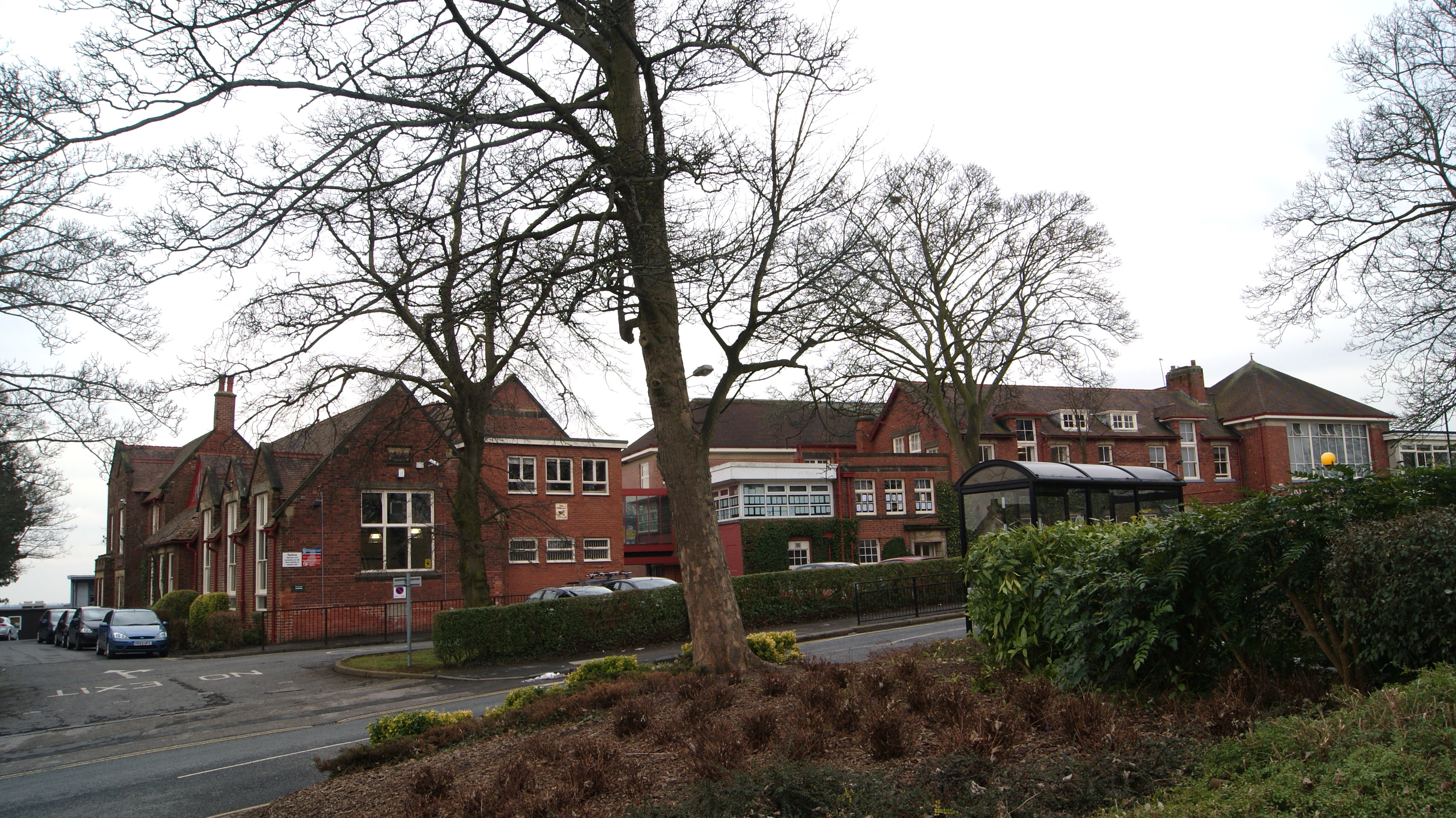
King James's School, Knaresborough
King James's School is located on King James Road, Knaresborough, North Yorkshire, England. King James's is a large non-selective school with a large sixth...
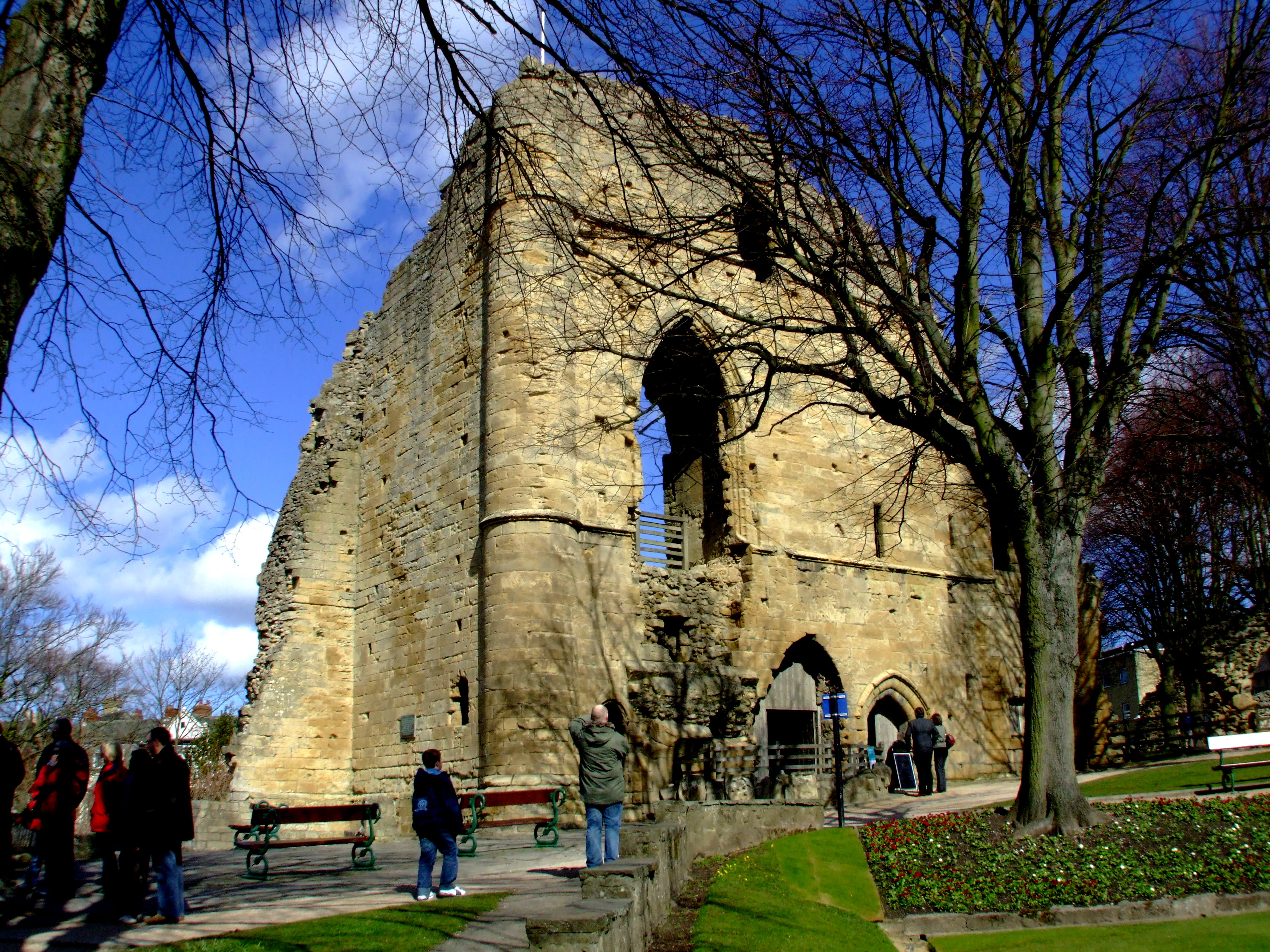
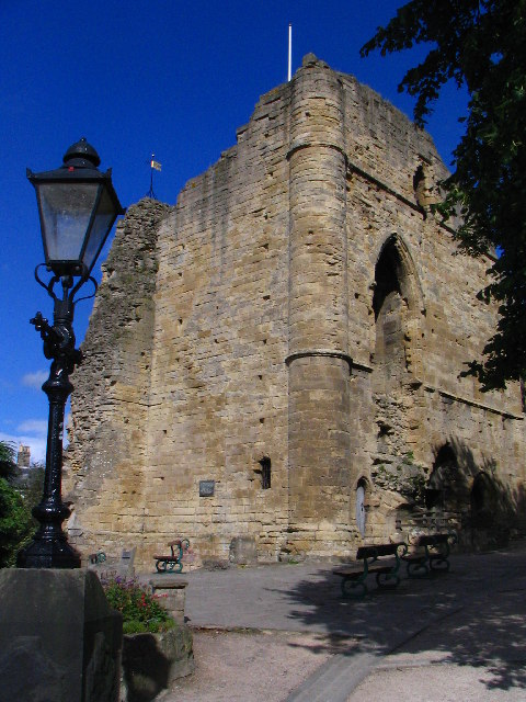
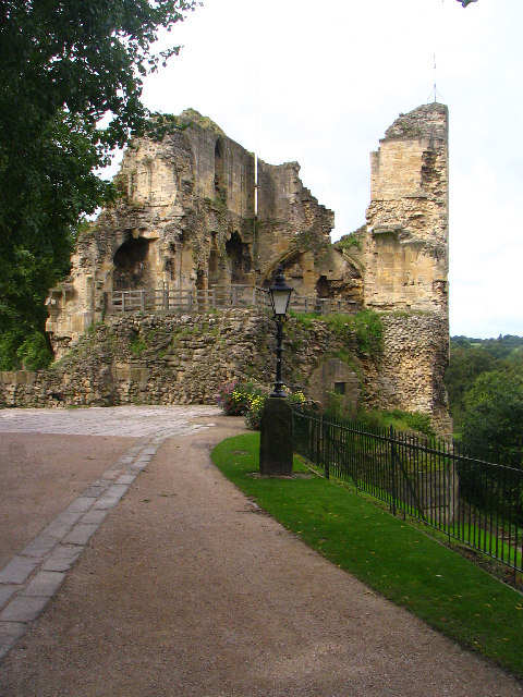
Knaresborough Castle
Knaresborough Castle is a ruined fortress overlooking the River Nidd in the town of Knaresborough, North Yorkshire, England. == History == The castle was...
Plompton
Plompton (formerly also spelt Plumpton) is a hamlet and civil parish south of Harrogate in North Yorkshire, England. It is close to the A661. Plompton...
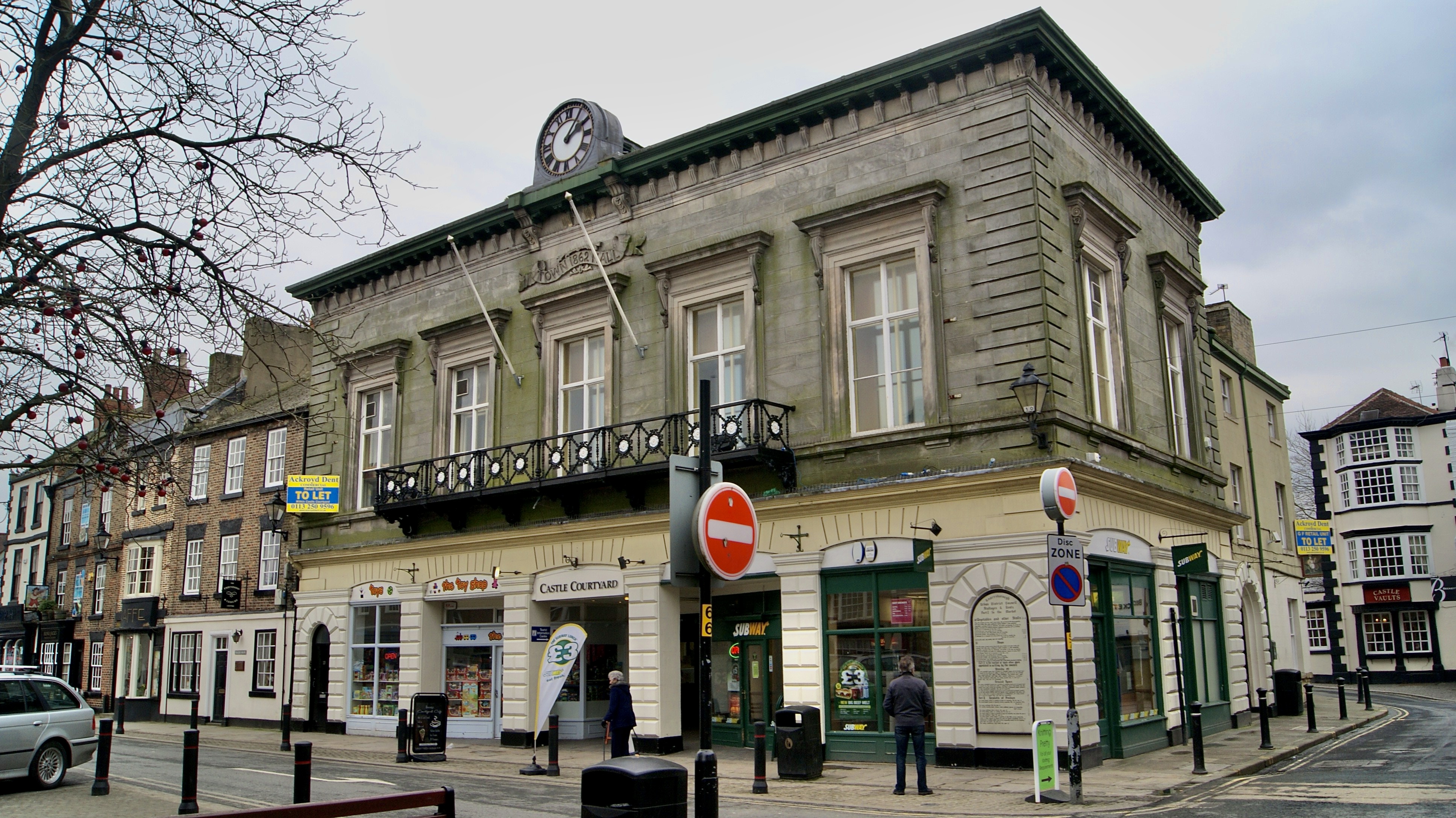
Old Town Hall, Knaresborough
The Old Town Hall is a former municipal building in the Market Place, Knaresborough, North Yorkshire, England. The structure, which was used as an events...

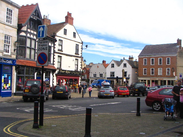
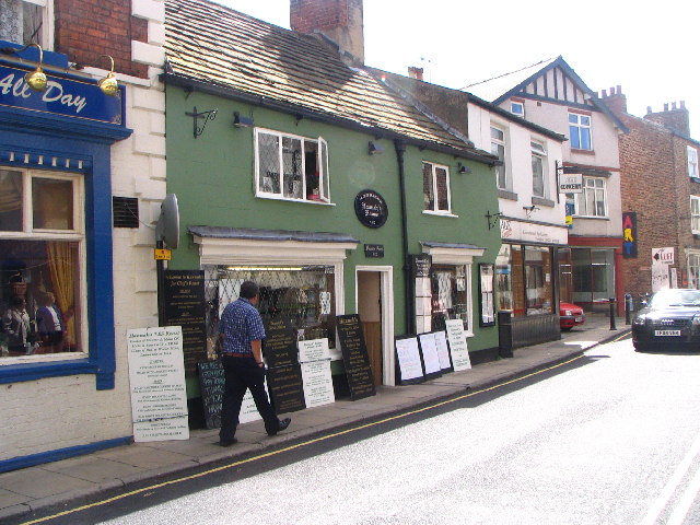
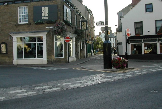
Knaresborough
Knaresborough ( NAIRZ-bər-ə) is a market and spa town and civil parish on the River Nidd in North Yorkshire, England. It is three miles (five kilometres...

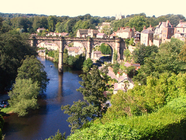
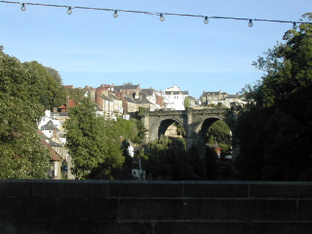
Knaresborough Viaduct
Knaresborough Viaduct is a viaduct in the North Yorkshire town of Knaresborough, England. The viaduct carries the Harrogate line over the River Nidd in...
Nearby Amenities
Located within 500m of 53.998767,-1.468021Have you been to Calcutt?
Leave your review of Calcutt below (or comments, questions and feedback).